Things to Do around Wray-With-Botton
Wray-With-Botton is a civil parish in Lancashire, England, situated within the picturesque Lune Valley and bordering the expansive Forest of Bowland Area of Outstanding Natural Beauty. This region is characterized by expansive hilly pastureland, rolling hills, and the serene river valleys of the Hindburn and Roeburn, offering a diverse landscape for outdoor pursuits. The varied terrain provides opportunities for several sports like road cycling, hiking, mountain biking, touring cycling, and more. Its natural features, including gritstone fells and vast upland heather moorland, make it a compelling area for active exploration.
Things to Do in Wray-With-Botton
The Wray-With-Botton region offers more than 10 routes across several sports like road cycling, hiking, mountain biking, touring cycling, and more. For those seeking active experiences, more than 49,000 visitors have shared their experiences, resulting in an average rating of 4.51 out of 5 stars. Hikers can explore a network of trails traversing river valleys, open moorland, and tranquil woodlands, with options detailed in guides like Hiking around Wray-With-Botton. Cyclists can find scenic, low-traffic routes on quiet country lanes and dedicated paths, including challenging climbs through the Trough of Bowland, with specific routes available in Road Cycling Routes around Wray-With-Botton. Mountain biking opportunities are also present, with diverse landscapes and challenging trails within the Forest of Bowland AONB, as highlighted in MTB Trails around Wray-With-Botton.
84
Routes
4.2
(260)
Average rating
3589
People visited

4.8
(104)
1,490
riders
19.0km
01:45
270m
270m
Easy mountain bike ride.
3.2
(11)
78
riders
49.6km
03:41
890m
890m
Moderate mountain bike ride. Good fitness required.
5.0
(4)
9
riders
15.7km
01:20
390m
400m
Moderate mountain bike ride. Good fitness required.
4.7
(28)
591
riders
14.0km
01:19
220m
220m
Easy mountain bike ride.
Get access to more routes and recommendations from other explorers.
Already have an account?
4.9
(7)
25
riders
10.8km
01:02
150m
150m
Easy gravel ride. Mostly paved surfaces.
5.0
(1)
16
riders
51.7km
03:07
670m
670m
Hard gravel ride. Very good fitness required. Mostly paved surfaces.
2.0
(1)
7
riders
Hard gravel ride. Very good fitness required. Mostly paved surfaces.
4.8
(5)
13
riders
33.7km
02:11
500m
510m
Hard gravel ride. Very good fitness required. Mostly paved surfaces.
Get access to more routes and recommendations from other explorers.
Already have an account?
4.7
(3)
11
hikers
16.7km
04:42
340m
340m
Moderate hike. Good fitness required. Mostly walkable paths. Sure-footedness required.
4.8
(5)
29
hikers
5.34km
01:22
20m
20m
Easy hike. Easily walkable paths.
4.8
(5)
26
hikers
5.17km
01:20
30m
30m
Easy hike. Easily walkable paths.
4.0
(2)
12
hikers
13.1km
03:39
260m
260m
Moderate hike. Good fitness required. Easily walkable paths.
Get access to more routes and recommendations from other explorers.
Already have an account?
4.8
(4)
123
riders
63.8km
03:15
770m
770m
Moderate road ride. Good fitness required. Mostly well-paved surfaces and easy to ride.
30
riders
88.4km
04:27
1,160m
1,160m
Hard road ride. Very good fitness required. Mostly well-paved surfaces and easy to ride.
5.0
(1)
21
riders
96.5km
05:12
1,520m
1,520m
Hard road ride. Very good fitness required. Mostly well-paved surfaces and easy to ride.
15
riders
23.6km
01:02
220m
220m
Easy road ride. Mostly well-paved surfaces and easy to ride.
Get access to more routes and recommendations from other explorers.
Already have an account?
5.0
(1)
49
riders
55.2km
04:03
920m
920m
Hard bike ride. Very good fitness required. Mostly paved surfaces.
4.0
(6)
37
riders
36.6km
02:07
160m
160m
Moderate bike ride. Good fitness required. Mostly paved surfaces.
4.0
(3)
30
riders
35.6km
02:19
400m
400m
Moderate bike ride. Good fitness required. Mostly paved surfaces.
13
riders
29.1km
01:46
220m
220m
Moderate bike ride. Good fitness required. Mostly paved surfaces.
Get access to more routes and recommendations from other explorers.
Already have an account?
22
runners
9.99km
01:03
110m
110m
Moderate run. Good fitness required. Mostly paved surfaces.
9
runners
6.91km
00:43
60m
70m
Moderate run. Good fitness required. Mostly paved surfaces.
11
runners
37.6km
04:24
1,120m
1,120m
Hard run. Very good fitness required. Mostly paved surfaces.
11
runners
7.80km
00:49
50m
50m
Moderate run. Good fitness required. Mostly paved surfaces.
Get access to more routes and recommendations from other explorers.
Already have an account?
Explore the region
Most popular attractions in Wray-With-Botton

Nearby adventure guides
Natural areas to explore nearby
Frequently asked questions
What outdoor activities are available in Wray-With-Botton?
Wray-With-Botton offers a diverse range of outdoor activities including Road cycling, Hiking, Mountain biking, Touring cycling, Gravel biking, and Jogging. The region features more than 10 routes across these sports. These activities take place within the picturesque Lune Valley and the Forest of Bowland Area of Outstanding Natural Beauty.
Are there hiking trails for different skill levels in Wray-With-Botton?
Yes, Wray-With-Botton provides a network of hiking trails suitable for various ability levels, from quiet strolls to longer rambles. Routes often traverse river valleys, open moorland, and tranquil woodlands. Specific guides like Hiking around Wray-With-Botton and Easy hikes around Wray-With-Botton are available.
What kind of road cycling routes are in Wray-With-Botton?
The Wray-With-Botton region offers scenic, low-traffic road cycling routes on quiet country lanes and dedicated cycle paths. The Trough of Bowland provides a challenging cycling experience with steep hillsides and impressive scenery. Cyclists can find more information and routes in the Road Cycling Routes around Wray-With-Botton guide.
Are there mountain biking opportunities in Wray-With-Botton?
Yes, the Forest of Bowland AONB, bordering Wray-With-Botton, provides excellent mountain biking opportunities. It features diverse landscapes, including challenging climbs and tranquil valley rides. Gisburn Forest, within the AONB, offers dedicated bike trails for various skill levels, detailed in the MTB Trails around Wray-With-Botton guide.
What are the main natural highlights to see in Wray-With-Botton?
The region is characterized by hilly pastureland, rolling hills, and the river valleys of the Hindburn and Roeburn. Notable natural highlights include the Goodber Beck waterfall, where water cascades 30 feet into a wooded ravine, and the ancient woodlands of Roeburndale. The area also borders the gritstone fells and heather moorland of the Forest of Bowland.
Are there family-friendly outdoor options in Wray-With-Botton?
Yes, Wray-With-Botton offers family-friendly outdoor options, particularly for hiking. There are trails suitable for families, providing opportunities for quiet strolls and scenic picnic spots. Information on these can be found in the Family-friendly hikes around Wray-With-Botton guide.
How popular is Wray-With-Botton for outdoor activities on komoot?
Wray-With-Botton is a popular destination on komoot, with more than 49,000 visitors having shared their experiences. The routes in the region have an average rating of 4.51 out of 5 stars, based on over 4,300 ratings. This indicates a high level of satisfaction among outdoor enthusiasts.
What komoot guides are available for Wray-With-Botton?
Komoot offers several guides for Wray-With-Botton, covering various activities. These include Road Cycling Routes, Hiking, MTB Trails, Touring Cycling, Gravel Biking, and Running Trails.
Where can I find information about touring cycling in Wray-With-Botton?
Wray-With-Botton offers routes suitable for touring cycling, utilizing quiet country lanes and scenic paths through the Lune Valley and across the Bowland fells. These routes provide a mix of surface tracks, fields, and quiet lanes. Further details can be found in the Cycling around Wray-With-Botton guide.
What is the official website for Wray-With-Botton?
The official website for the Wray-With-Botton Parish Council is wraywithbottonparishcouncil.wordpress.com. This site provides information relevant to the local community.
Are there opportunities for gravel biking in Wray-With-Botton?
Yes, the Wray-With-Botton region and its surroundings offer opportunities for gravel biking. The diverse landscapes, including moorland, fells, and river valleys, provide varied terrain suitable for gravel routes. A dedicated guide, Gravel biking around Wray-With-Botton, is available for more information.
What is the character of the landscape in Wray-With-Botton?
The landscape of Wray-With-Botton is characterized by expansive hilly pastureland, rolling hills, and the serene river valleys of the Hindburn and Roeburn. It borders the Forest of Bowland AONB, which features gritstone fells, deep cloughs, and vast upland heather moorland. The Lune Valley is known for its lush green scenery and picturesque villages.
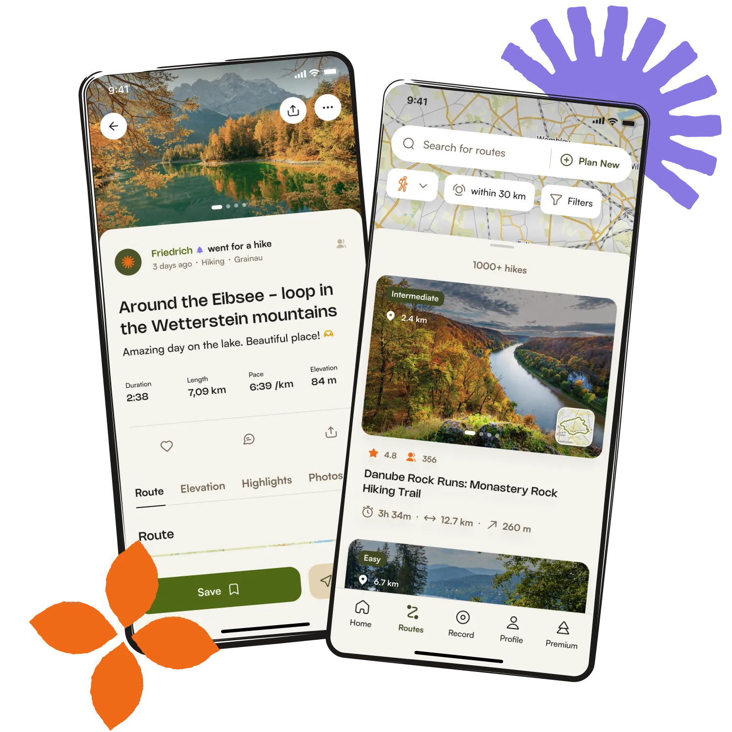
Get inspired with the komoot mobile app

