Things to Do in Stirling
Stirling is a region in Scotland known for its diverse natural landscapes, often referred to as a "Gateway to the Highlands." The area features numerous lochs, including Loch Katrine and Loch Venachar, alongside prominent hills and mountains such as Dumyat and sections of the Ochil Hills. Rivers like the Forth and Teith, and extensive forest areas like Queen Elizabeth Forest Park, contribute to a varied terrain suitable for several sports like hiking, road cycling, touring cycling, mountain biking, and more.
…238
Routes
4.6
(5469)
Average rating
47043
People visited

4.7
(524)
4,545
hikers
4.88km
01:49
310m
320m
Moderate hike. Good fitness required. Easily walkable paths.
4.8
(471)
3,054
hikers
12.8km
04:57
910m
910m
Hard hike. Very good fitness required. Easily walkable paths.
4.8
(250)
2,857
hikers
4.02km
02:22
320m
320m
Hard hike. Good fitness required. Sure-footedness, sturdy shoes and alpine experience required.
4.2
(214)
818
hikers
6.51km
02:43
340m
340m
Hard hike. Good fitness required. Sure-footedness, sturdy shoes and alpine experience required.
Get access to more routes and recommendations from other explorers.
Already have an account?
4.7
(43)
648
riders
58.7km
04:36
760m
760m
Hard bike ride. Very good fitness required. You may need to push your bike for some segments of this route.
4.4
(20)
466
riders
29.2km
02:36
420m
420m
Moderate bike ride. Good fitness required. Some segments of this route may be unpaved and difficult to ride.
4.7
(22)
223
riders
30.2km
02:19
260m
260m
Moderate bike ride. Good fitness required. Mostly paved surfaces.
4.7
(20)
211
riders
29.1km
01:59
240m
240m
Moderate bike ride. Good fitness required. Mostly paved surfaces.
Get access to more routes and recommendations from other explorers.
Already have an account?
4.6
(19)
678
riders
Moderate road ride. Good fitness required. Mostly well-paved surfaces and easy to ride.
4.3
(7)
271
riders
99.2km
04:37
1,130m
1,130m
Hard road ride. Very good fitness required. Some segments of this route may be unpaved and difficult to ride.
4.8
(5)
298
riders
Hard road ride. Very good fitness required. Mostly well-paved surfaces and easy to ride.
5.0
(8)
234
riders
78.5km
03:49
970m
970m
Hard road ride. Very good fitness required. Mostly well-paved surfaces and easy to ride.
Get access to more routes and recommendations from other explorers.
Already have an account?
4.7
(36)
212
riders
34.8km
03:22
500m
500m
Hard gravel ride. Very good fitness required. Mostly paved surfaces.
7.98km
00:49
140m
140m
Easy gravel ride. Mostly paved surfaces.
5.0
(1)
1
riders
9.40km
00:46
140m
180m
Easy gravel ride. Mostly paved surfaces.
4.8
(16)
186
riders
70.0km
05:00
990m
990m
Hard gravel ride. Very good fitness required. Mostly paved surfaces.
Get access to more routes and recommendations from other explorers.
Already have an account?
5.0
(4)
324
runners
12.1km
02:03
910m
910m
Hard run. Very good fitness required. Mostly paved surfaces.
5.0
(2)
147
runners
13.5km
01:25
80m
80m
Moderate run. Good fitness required. Mostly paved surfaces.
54
runners
10.4km
01:44
600m
600m
Hard run. Very good fitness required. Sure-footedness, sturdy shoes and alpine experience required.
3.0
(1)
36
runners
4.89km
00:31
30m
30m
Easy run. Mostly paved surfaces.
Get access to more routes and recommendations from other explorers.
Already have an account?
4.9
(24)
150
riders
27.5km
02:47
700m
690m
Moderate mountain bike ride. Good fitness required. Advanced riding skills necessary.
4.9
(19)
140
riders
23.8km
02:26
640m
640m
Moderate mountain bike ride. Good fitness required. Advanced riding skills necessary.
4.0
(19)
99
riders
24.7km
02:23
470m
470m
Moderate mountain bike ride. Good fitness required. Advanced riding skills necessary.
3.7
(11)
43
riders
31.8km
03:07
590m
590m
Hard mountain bike ride. Good fitness required. Advanced riding skills necessary. Some portions of the route may require you to push your bike.
Get access to more routes and recommendations from other explorers.
Already have an account?
3.7
(3)
44
hikers
12.0km
04:57
840m
840m
Hard mountaineering route. Good fitness required. Sure-footedness, sturdy shoes and alpine experience required.
5.0
(1)
18
hikers
13.4km
05:14
920m
920m
Hard mountaineering route. Very good fitness required. Easily walkable paths.
13
hikers
14.4km
06:16
1,240m
1,240m
Hard mountaineering route. Very good fitness required. Mostly walkable paths. Sure-footedness required.
15
hikers
12.9km
04:30
710m
710m
Moderate mountaineering route. Good fitness required. Easily walkable paths.
Get access to more routes and recommendations from other explorers.
Already have an account?
Top attractions in the region
Explore the region
Most popular attractions in Stirling


Nearby adventure guides
Natural areas to explore nearby
Frequently asked questions
What outdoor activities are available in Stirling?
Stirling offers a wide range of outdoor activities including hiking, road cycling, touring cycling, mountain biking, jogging, gravel biking, and mountaineering. The region features over 2,700 routes, with an average rating of 4.49 stars from more than 451,000 visitors.
Where are the best places to hike in Stirling?
Stirling provides diverse hiking experiences, from paths around lochs like Katrine and Drunkie to trails in Queen Elizabeth Forest Park. Dumyat offers panoramic views, and sections of the West Highland Way pass through the region. More information is available in the Hiking in Stirling guide.
Are there family-friendly hiking trails in Stirling?
Yes, Stirling offers family-friendly hiking options, including paths around lochs and various forest walks. The region has routes suitable for different age groups and skill levels. Specific routes can be found in the Family-friendly hikes in Stirling guide.
What cycling routes are available in Stirling?
Stirling is well-suited for all forms of cycling, including road cycling, touring cycling, and mountain biking. Options range from quiet country roads and riverside paths to challenging mountain trails. Guides are available for Road Cycling Routes in Stirling and Cycling in Stirling.
Where can mountain bikers find trails in Stirling?
Mountain bikers can find a wealth of options in Stirling, from beginner-friendly paths to challenging terrain. Specific areas include Mugdock Country Park, Callander Woods Bike Trails, and Aberfoyle Mountain Bike Skills Park. The MTB Trails in Stirling guide provides further details.
Are there easy hiking trails in Stirling?
Yes, Stirling offers easy hiking trails suitable for various fitness levels. These include circular paths around lochs and gentle forest walks. The Easy hikes in Stirling guide provides specific recommendations.
What natural features can be explored in Stirling?
The Stirling region features numerous lochs such as Loch Katrine and Loch Venachar, and hills like Dumyat and sections of the Ochil Hills. Rivers like the Forth and Teith, along with extensive forest areas like Queen Elizabeth Forest Park, offer diverse natural landscapes.
Are there traffic-free cycling options in Stirling?
Yes, Stirling provides traffic-free cycling routes, including dedicated cycle paths and canal towpaths. These routes connect various attractions and offer a safe cycling experience. Information is available in the Traffic-free bike rides in Stirling guide.
What komoot guides are available for Stirling?
Komoot offers several guides for Stirling, including Hiking in Stirling, Road Cycling Routes in Stirling, MTB Trails in Stirling, and Family-friendly hikes in Stirling. Other guides cover easy hikes, waterfall hikes, gravel biking, and running trails.
How many routes are available in Stirling on komoot?
The Stirling region features more than 2,700 routes across various sports. These routes have been explored by over 451,000 visitors and hold an average rating of 4.49 out of 5 stars.
Are there trails with waterfalls in Stirling?
Yes, Stirling offers hiking trails that feature waterfalls. These routes provide scenic views and opportunities to experience the region's natural beauty. Specific options can be found in the Waterfall hikes in Stirling guide.
What is the official website for Stirling Council?
The official website for Stirling Council is www.stirling.gov.uk. General inquiries can be directed to the council via their official contact channels.
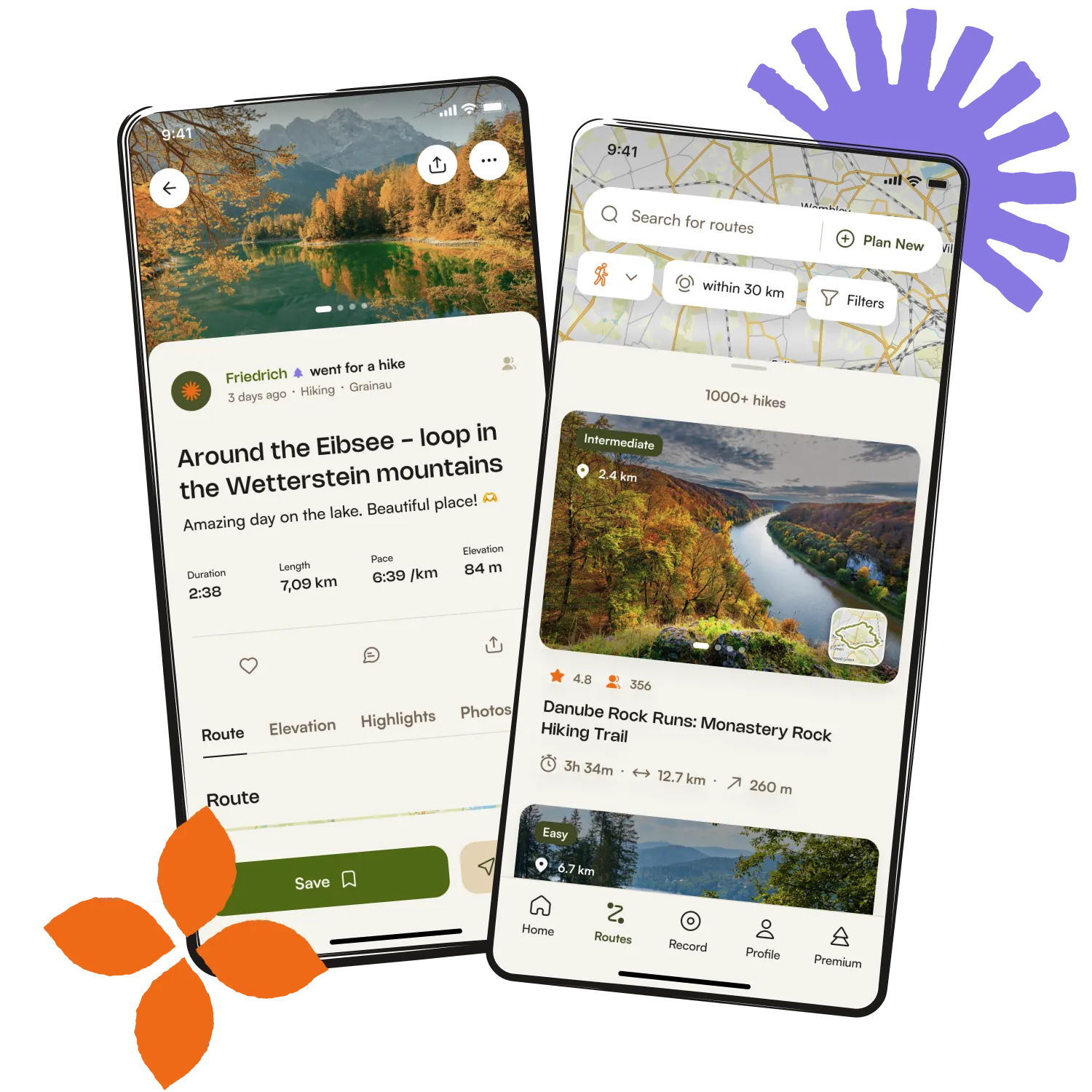
Get inspired with the komoot mobile app

