The best running trails around Wildenspring
4.5
(86)
853
runners
81
runs
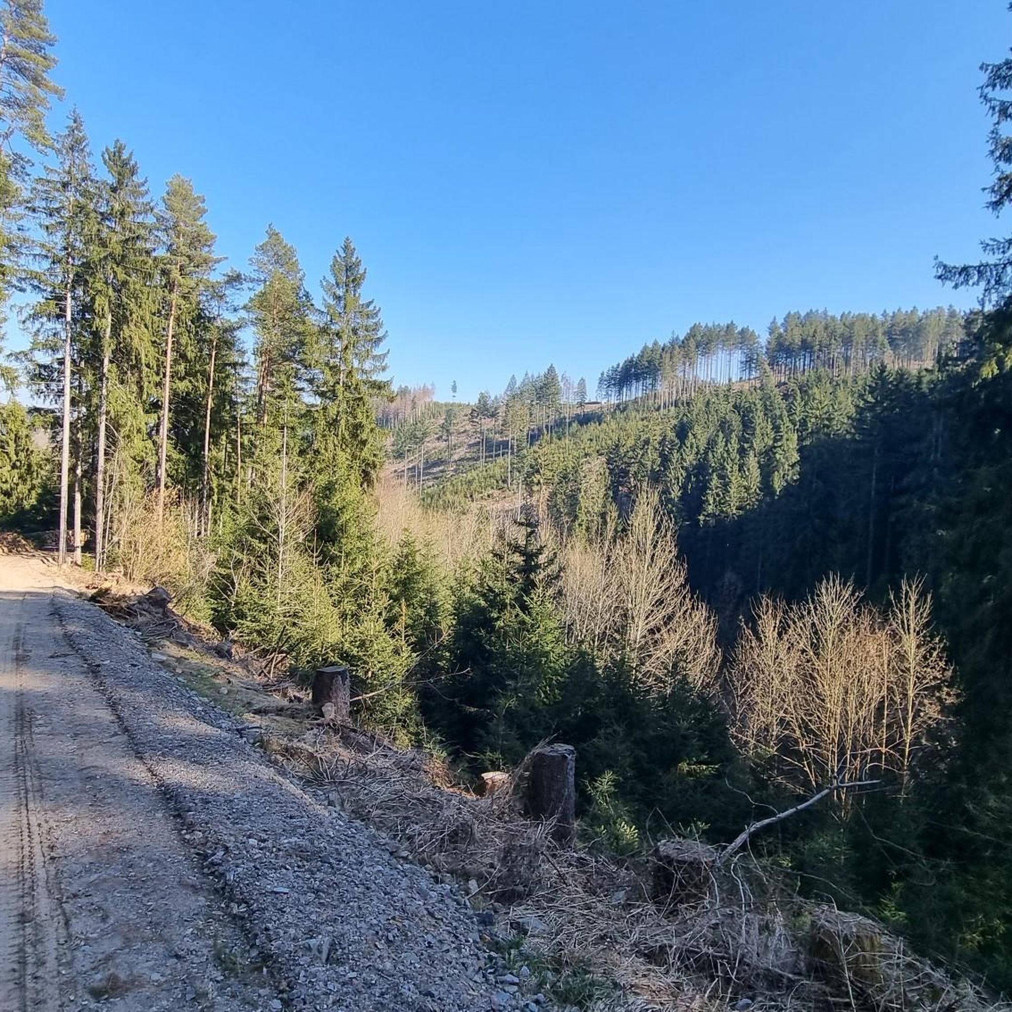
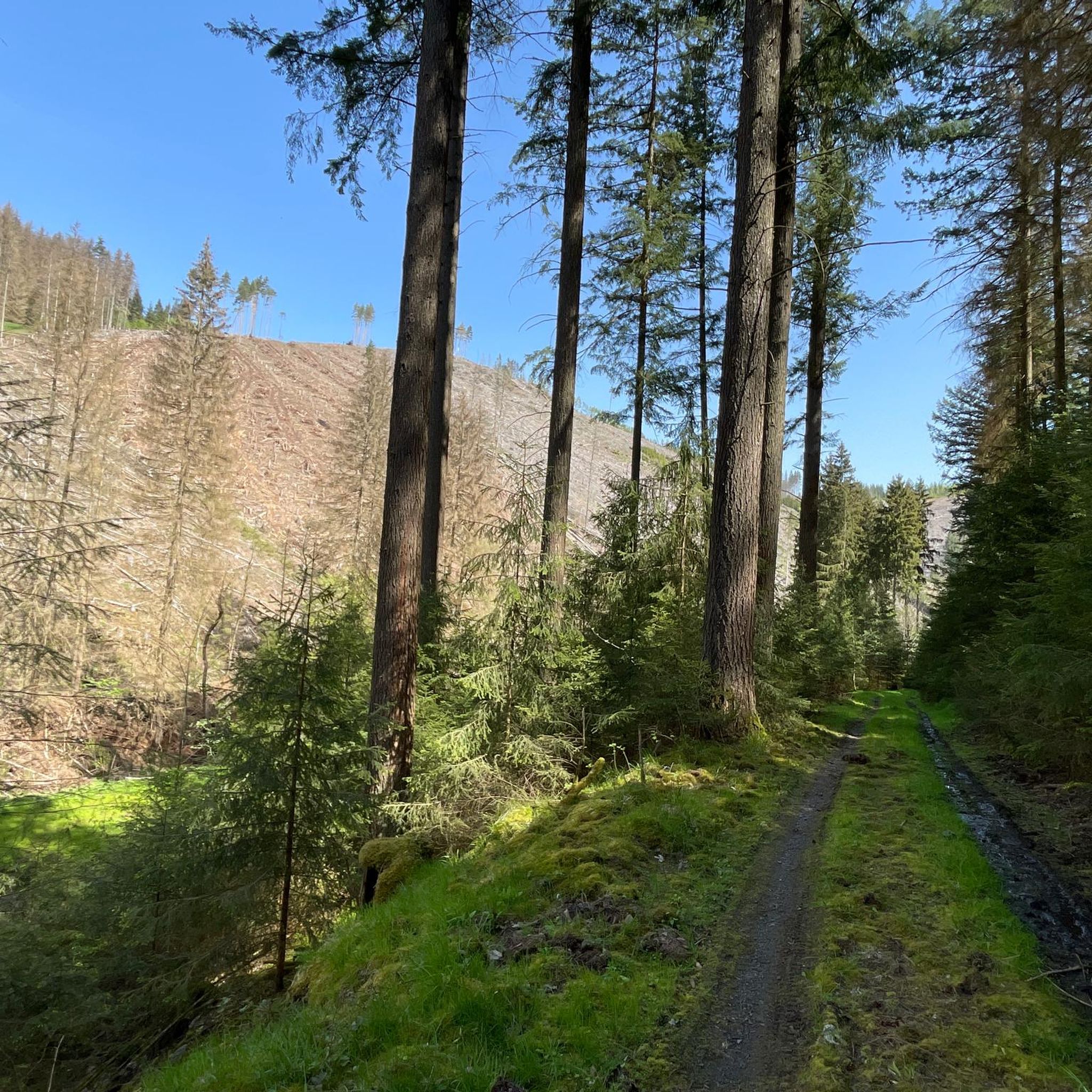
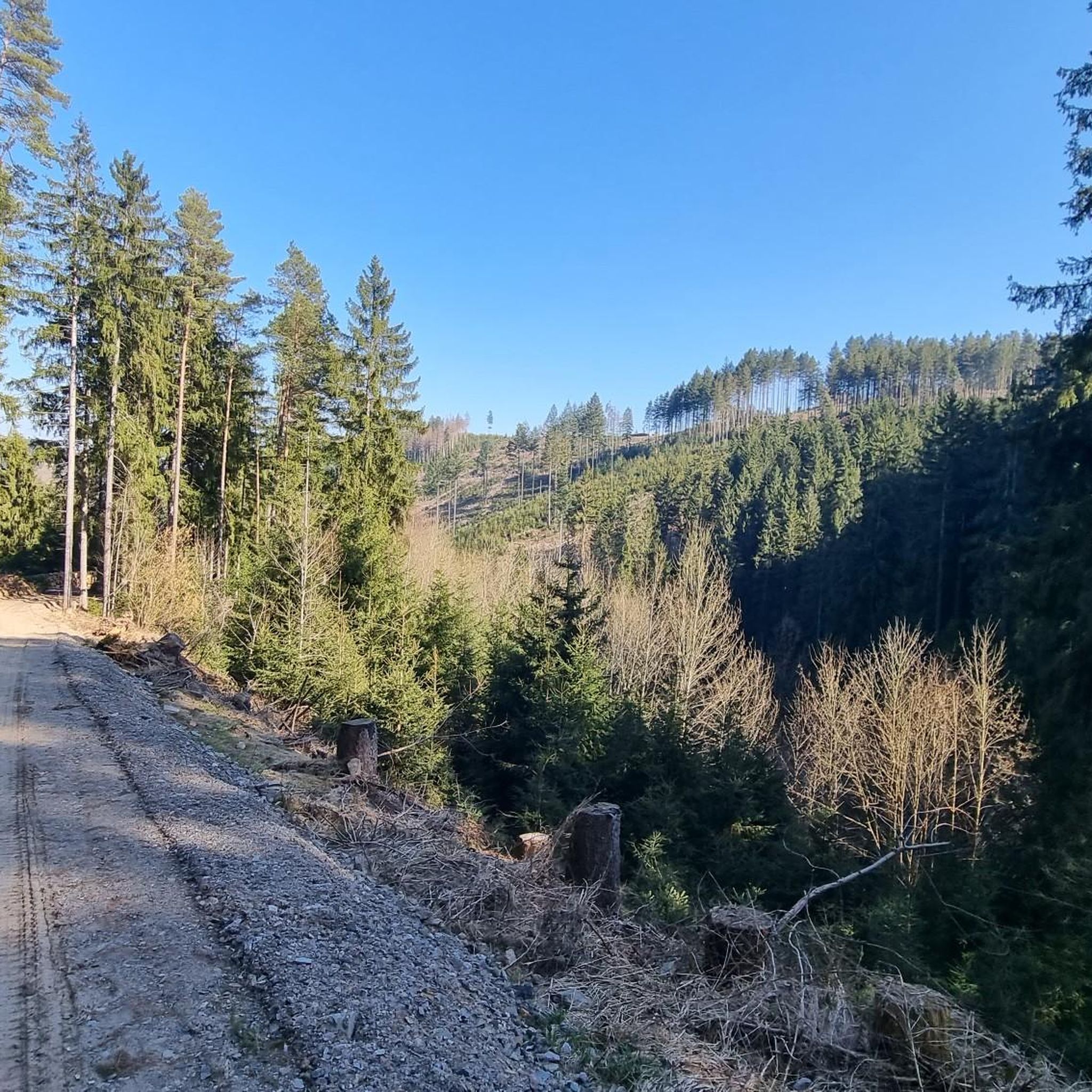
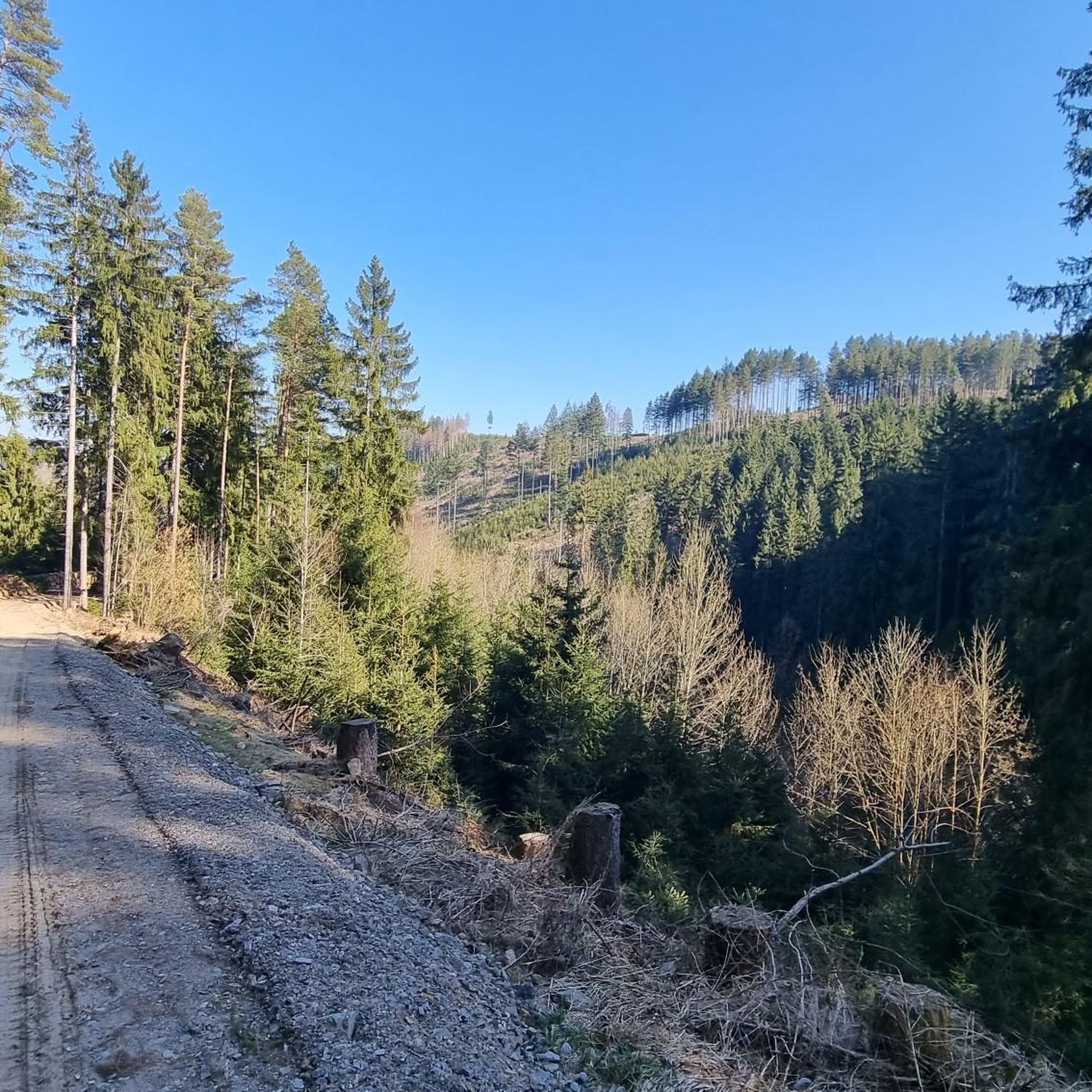
Jogging around Wildenspring offers a diverse landscape for runners, characterized by rolling hills and dense woodlands. The region features varied terrain, from gentle paths to more challenging ascents, with elevations reaching over 300 meters. Many routes provide views from observation towers and traverse natural areas, making it suitable for different running preferences.
Best jogging routes around Wildenspring
- The most popular jogging route is Barigauer Turm Observation Tower – Barigauer Tower loop from Oberhain, a 6.5 miles (10.5 km) trail…
Last updated: June 25, 2026
5.0
(2)
35
runners
10.5km
01:12
300m
300m
Hard run. Very good fitness required. Mostly paved surfaces. Suitable for all skill levels.
8
runners
7.18km
00:47
140m
140m
Moderate run. Good fitness required. Mostly paved surfaces. Suitable for all skill levels.

Sign up for free
7
runners
9.39km
01:01
160m
160m
Moderate run. Good fitness required. Mostly paved surfaces. Suitable for all skill levels.
5.0
(1)
8
runners
4.99km
00:32
80m
80m
Easy run. Great for any fitness level. Mostly paved surfaces. Suitable for all skill levels.
6
runners
9.63km
01:04
140m
140m
Moderate run. Good fitness required. Mostly paved surfaces. Suitable for all skill levels.
Get access to more routes and recommendations from other explorers.
Sign up for free
Already have an account?
Our route recommendations are based on thousands of hikes, rides, and runs completed by other people on komoot.
Start today with a free account
Your next adventure awaits.
Login or Signup
Tips from the Community

The Barigauer Tower is an observation tower on the Barigauer Höhe near Barigau, a district of Königsee in the Saalfeld-Rudolstadt district of Thuringia. Built in 1912, it offers impressive panoramic views of the region from a height of 664.6 meters. On a clear day, you can see over 43 villages, towns, and famous mountain peaks from here, including the Schneekopf near Ilmenau and the Leuchtenburg Castle in Kahla. Next to the tower, there is a restaurant that welcomes hikers and visitors.
0
0

Lovingly laid out. We used the parking lot as a starting point for an extended hike to the region's four stamping points.
3
0

Really a great council square, free hiking parking and stamping point
5
0

A worthwhile excursion destination has been reopened. I can't form an opinion about Essen yet.
2
0

The inn will reopen on June 1, 2024: https://www.barigauer-turm.de/.
2
0

Keep your eyes open! 👀 You can often find hiking stones at stamping points 🤩🤗
4
0

Nice view towards Gehren.
7
0
Nicely laid out gate would have been even nicer over the path
4
0
Frequently Asked Questions
How many running routes are available in Wildenspring?
Wildenspring offers a wide selection of running routes, with over 80 trails available for you to explore. These range from easy jogs to more challenging runs through the diverse landscape.
Are there easy jogging routes suitable for beginners in Wildenspring?
Yes, Wildenspring has several easy jogging routes perfect for beginners or those looking for a relaxed run. One such option is the Viehberg – Hainberg loop from Meuselbach-Schwarzmühle, which is approximately 5 km long with moderate elevation changes.
What kind of terrain can I expect on the running trails around Wildenspring?
The running trails in Wildenspring are characterized by a diverse landscape of rolling hills and dense woodlands. You'll find varied terrain, from gentle paths to more challenging ascents, with some routes featuring elevations over 300 meters. Many trails offer scenic views and traverse natural areas.
Are there any circular running routes in Wildenspring?
Yes, many of the running routes in Wildenspring are designed as loops, offering convenient circular paths. For example, the Running loop from Herschdorf is a popular moderate 9.6 km circular trail.
What are the typical lengths and durations of jogging routes in Wildenspring?
Running routes in Wildenspring vary in length and duration. You can find shorter trails around 5 km, taking about 30-40 minutes, up to longer routes of 10 km or more, which can take over an hour to complete, depending on your pace and the elevation.
What can I see along the jogging routes in Wildenspring?
Many running routes in Wildenspring offer scenic views and pass by interesting natural features. You might encounter observation towers, rock formations like the Meurasteine Rock Formation, or tranquil bodies of water such as the Ochsenbacher Pond and Höllteich. Some trails also lead to viewpoints like Schneiderfelsen.
Are there any waterfalls near the running trails in Wildenspring?
Yes, the region around Wildenspring features natural attractions including waterfalls. The Schwarza Waterfall (Schwarza Valley) is one such highlight you might find near some of the running routes, offering a refreshing sight.
What do other runners enjoy most about jogging in Wildenspring?
The running trails in Wildenspring are highly rated by the komoot community, with an average score of 4.4 stars from over 80 reviews. Runners often praise the diverse landscape, the well-maintained paths, and the opportunity to experience nature, from dense woodlands to scenic viewpoints.
Is Wildenspring suitable for family-friendly running or walking?
Wildenspring offers a range of trails, including easier and moderate options that can be suitable for families. While specific 'family-friendly' designations depend on individual fitness levels, the less challenging routes with gentler inclines and shorter distances are generally good choices for a family outing.
What is the best time of year to go running in Wildenspring?
Wildenspring's diverse landscape makes it suitable for running throughout much of the year. Spring and autumn offer pleasant temperatures and beautiful scenery with changing foliage. Summer is also great, especially for shaded forest trails. Winter running is possible, but conditions may vary, so checking local weather is advisable.
Are there any specific landmarks or points of interest along the running routes?
Beyond natural beauty, you can find interesting landmarks. The Leibis-Lichte Dam is a notable man-made structure in the vicinity, and several routes lead to observation points offering panoramic views of the Thuringian Forest.
Most popular attractions around Wildenspring

Get inspired with the komoot mobile app


Explore more
Browse the best Running Trails & Routes in other regions.
