The best road cycling routes around Allaines
4.0
(23)
391
riders
145
rides
Road cycling routes around Allaines traverse a landscape characterized by open countryside and gentle undulations. The region features the flat Somme Valley, with its canalized river, wetlands, and marshes, offering extensive cycling networks. Limestone hills, known as "larris," provide varied terrain and panoramic views. The area's network of paved roads connects agricultural lands, small villages, and historical landmarks.
Best road cycling routes around Allaines
- The most popular road cycling route is Château de Suzanne – Ulster Tower loop from Péronne…
Last updated: November 2, 2026
4.0
(2)
19
riders
46.4km
02:05
240m
240m
Moderate road ride. Good fitness required. Mostly well-paved surfaces and easy to ride.
5.0
(1)
21
riders
24.6km
05:18
110m
110m
Hard road ride. Very good fitness required. Mostly well-paved surfaces and easy to ride.

7
riders
110km
05:45
1,030m
1,030m
Hard road ride. Very good fitness required. Mostly well-paved surfaces and easy to ride.
4.0
(1)
15
riders
24.7km
01:05
130m
130m
Easy road ride. Mostly well-paved surfaces and easy to ride.
84.0km
03:41
640m
640m
Moderate road ride. Good fitness required. Mostly well-paved surfaces and easy to ride.
Get access to more routes and recommendations from other explorers.
Already have an account?
Our route recommendations are based on thousands of hikes, rides, and runs completed by other people on komoot.
Start today with a free account
Your next adventure awaits.
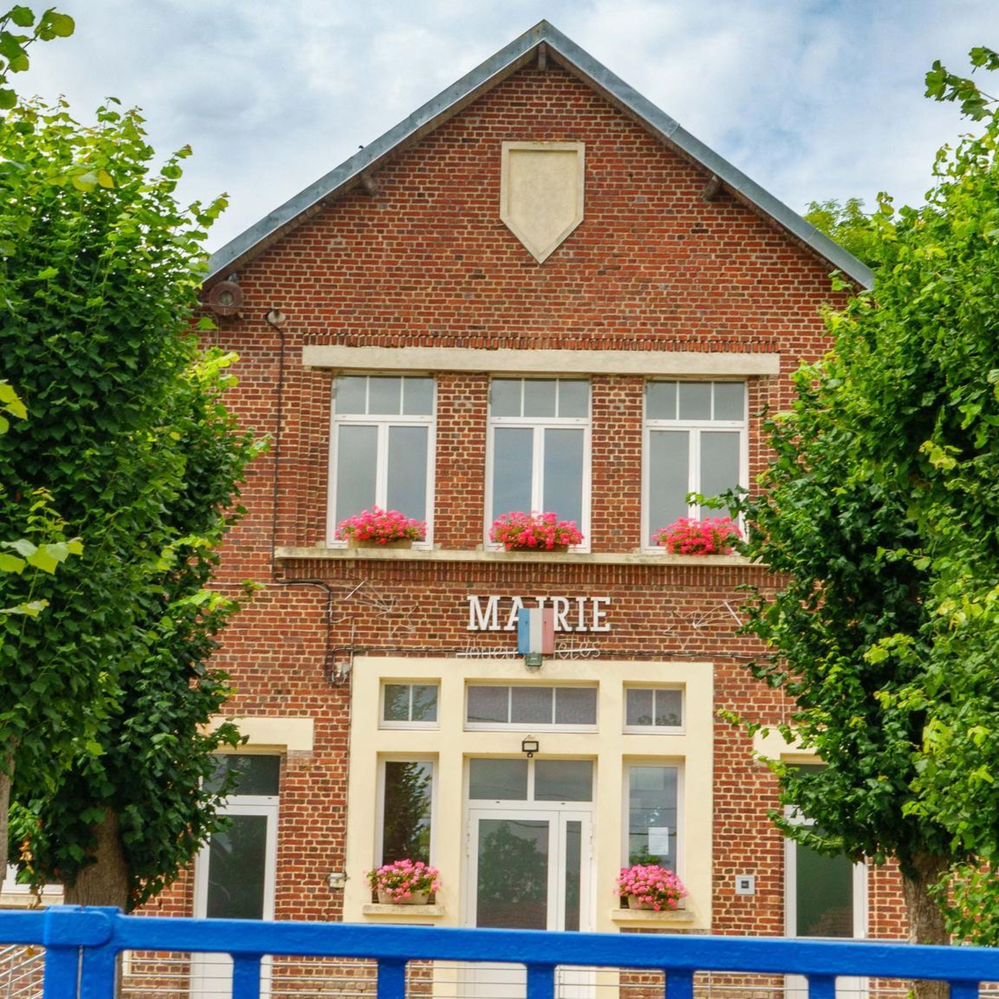
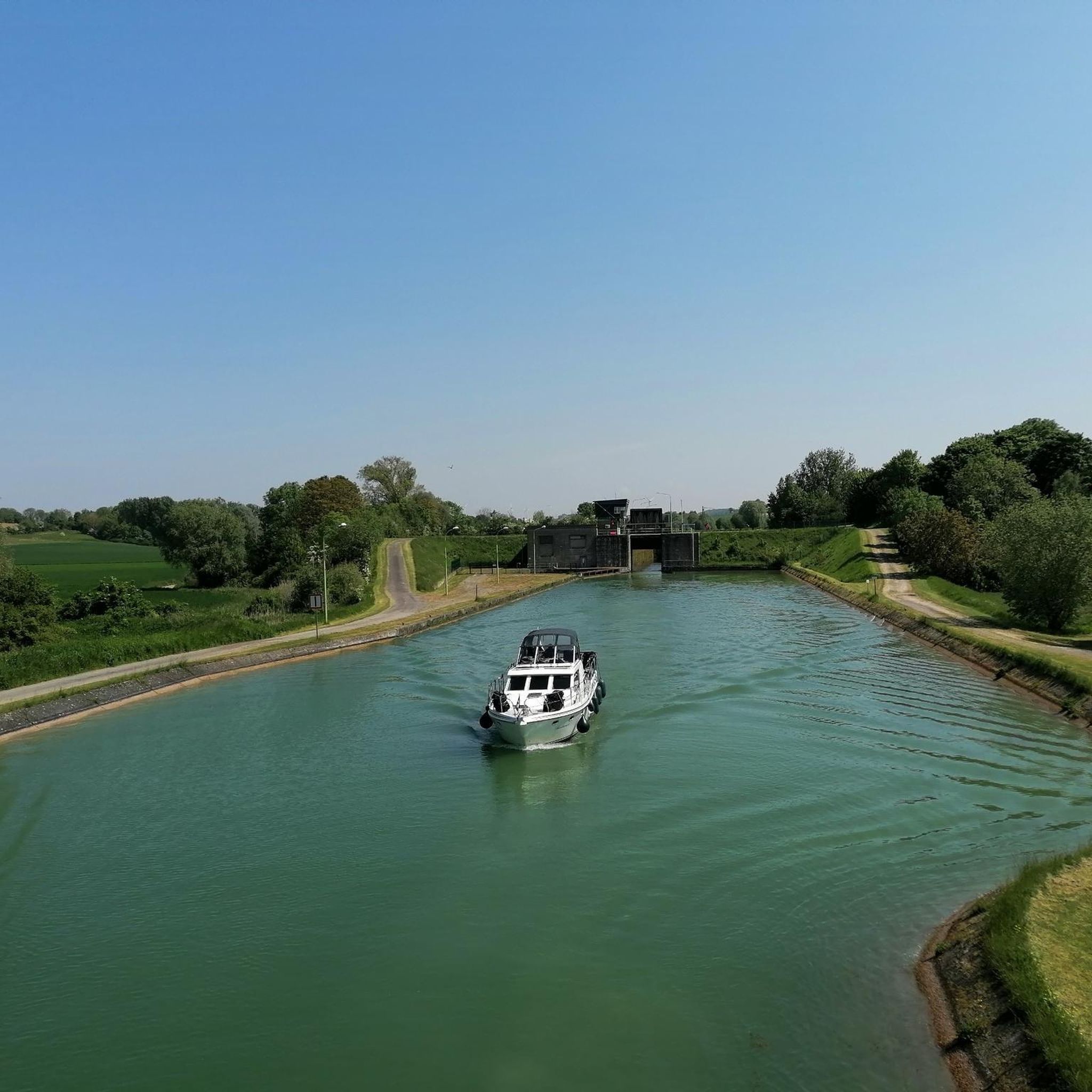


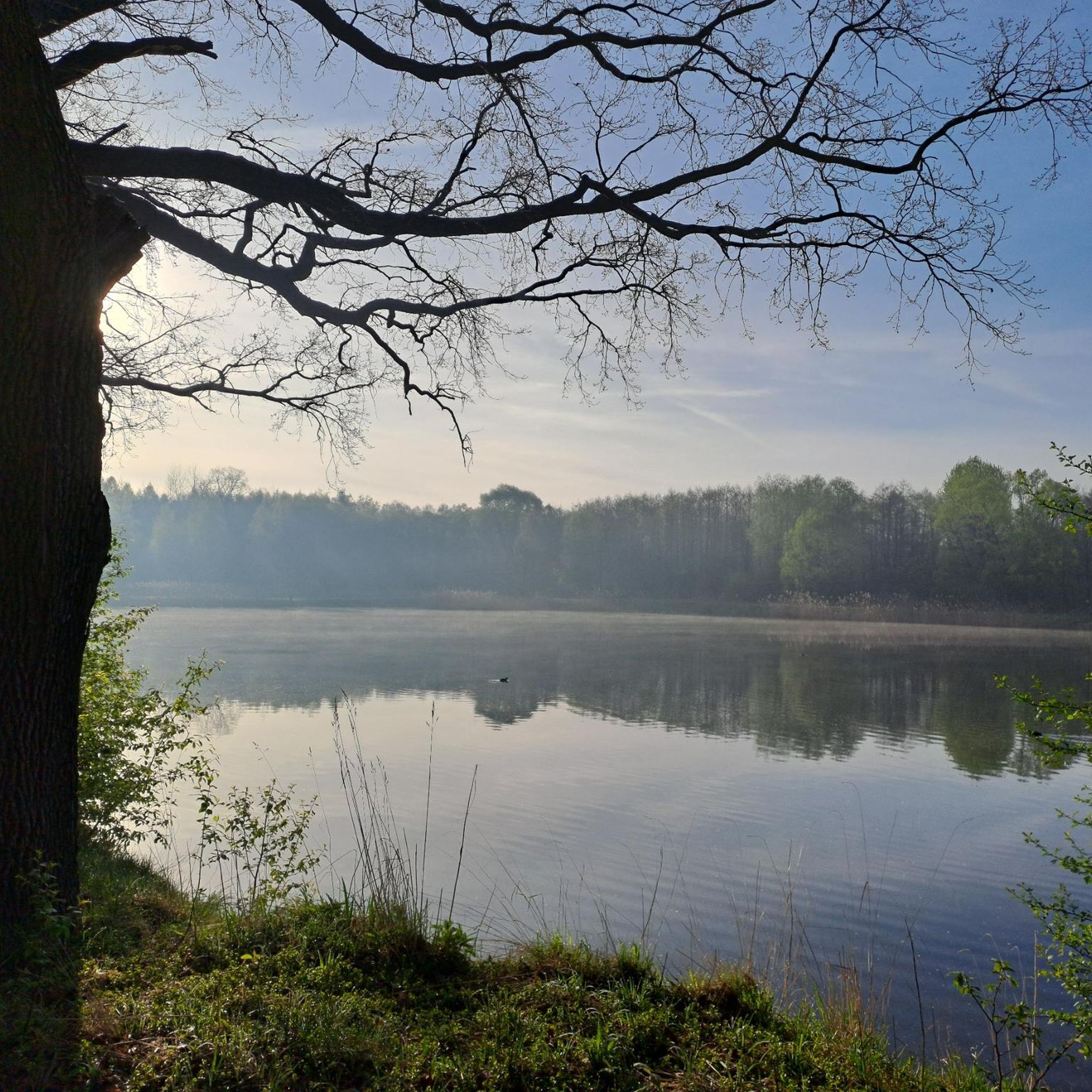
Tips from the Community

The Somme 245 km is a river in Hauts-de-France (France). The old Gallic name of the river is "Samara", meaning "the calm one". It is the river from which the Somme department derives its name.
12
0
The castle served for centuries as a meeting place for the regional nobility and thinkers.
15
0
There are several locks near Frise, all with fish ladders.
18
0

There are several small locks with benches to view them well
5
0

In addition to the exceptional viewpoint, the landscape interpretation table allows you to better understand the environment that unfolds before you.
0
0

Magnificent viewpoint overlooking the Somme Valley. The climb is quite steep to get there from Péronne.
0
0
Also a bicycle repair and electric bike charging point
0
0
Frequently Asked Questions
How many road cycling routes are available in Allaines?
There are over 140 road cycling routes around Allaines, offering a wide range of options for different skill levels and preferences. This includes approximately 25 easy routes, 100 moderate routes, and 15 challenging routes.
Are there easy road cycling routes suitable for beginners in Allaines?
Yes, Allaines offers several easy road cycling routes perfect for beginners or those seeking a relaxed ride. A popular choice is the Historial de la Grande Guerre loop from Péronne, an accessible 23.9-mile (38.4 km) path. Another option is the Étang du Brochet loop from Péronne, which is 19.2 miles (30.8 km) long.
What are some challenging road cycling routes for experienced riders in Allaines?
For experienced road cyclists looking for a challenge, the Château de Suzanne – Ulster Tower loop from Péronne is an excellent option. This route spans 67.9 miles (109.3 km) with significant elevation gain, connecting historical sites and offering extensive views.
What kind of scenery can I expect on road cycling routes around Allaines?
Road cycling routes around Allaines feature a landscape of gentle undulations, open countryside, and agricultural lands. You'll often encounter historical landmarks, tranquil water bodies like the Étang du Brochet, and charming small villages, providing a mix of natural beauty and cultural interest.
Are there any circular road cycling routes in Allaines?
Yes, many road cycling routes in Allaines are designed as loops, allowing you to start and finish at the same point. Examples include the Historial de la Grande Guerre loop from Péronne and the Étang du Brochet loop from Péronne, both offering convenient circular journeys.
What historical sites or landmarks can I see along the road cycling routes?
The Allaines region is rich in history. Along the routes, you can explore significant sites such as the Château de Péronne and the Historial of the Great War – Château de Péronne. Other notable points of interest include the Château d'Happlincourt.
Are there scenic viewpoints along the road cycling routes in Allaines?
Yes, the open countryside around Allaines offers several scenic viewpoints. You might encounter spots like the Vaux Viewpoint or the Frise Viewpoint, providing expansive views of the agricultural landscapes and river valleys.
What do other road cyclists enjoy most about road cycling in Allaines?
The road cycling routes in Allaines are highly rated by the komoot community, with an average score of 4.1 stars from over 13 reviews. Cyclists often praise the region's accessible terrain, the blend of historical sites with tranquil natural settings, and the well-maintained paved roads that connect various points of interest.
Where can I find parking for road cycling routes in Allaines?
While specific parking areas are not always detailed for every route, many road cycling routes in Allaines start from towns like Péronne. You can typically find public parking available in these villages or near major attractions, providing convenient access to the trailheads.
What is the typical duration for road cycling routes in Allaines?
The duration of road cycling routes in Allaines varies significantly based on distance and difficulty. Shorter, easy routes like the Étang du Brochet loop can be completed in about 1 hour 16 minutes, while longer, more challenging routes such as the Château de Suzanne – Ulster Tower loop may take around 5 hours 42 minutes.
Are there moderate road cycling routes available in Allaines?
Yes, the majority of road cycling routes in Allaines are classified as moderate, with approximately 100 such routes available. An example is the Château de Péronne – Bridge loop from Péronne, which covers 51.9 miles (83.5 km) and offers a balanced challenge.
Can I find road cycling routes that pass through multiple towns or villages?
Many routes in Allaines connect various small villages and towns, allowing you to experience the local culture and find potential stops. For instance, the Péronne – Château de Péronne loop from Biaches starts near Biaches and explores the area around Péronne.
Most popular attractions around Allaines

Get inspired with the komoot mobile app


Explore more
Browse the best Road cycling routes in other regions.
