The best cycling routes around Noceta
4.5
(137)
1,459
riders
33
rides
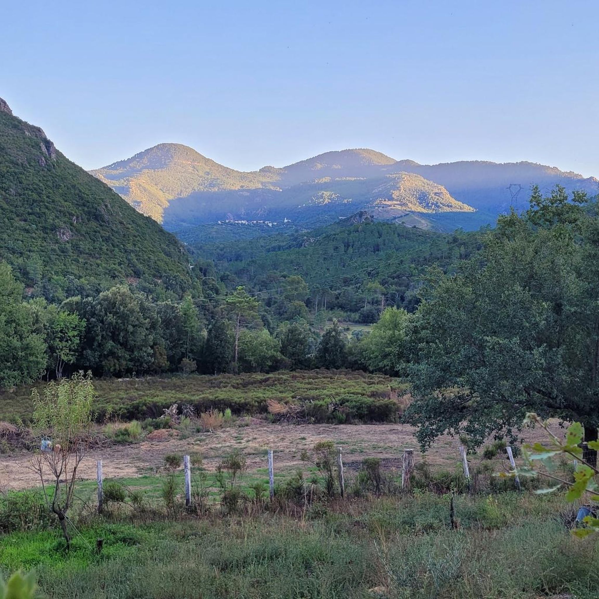
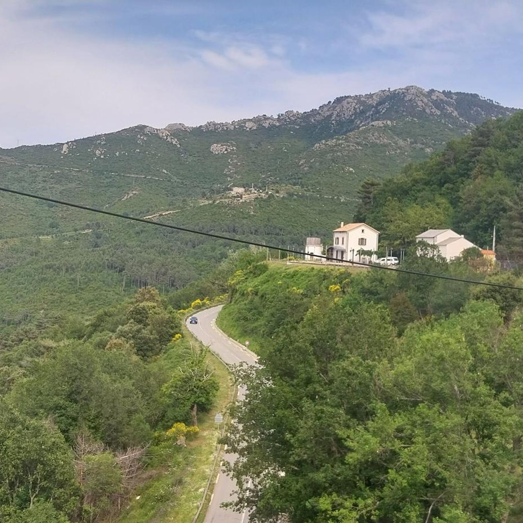
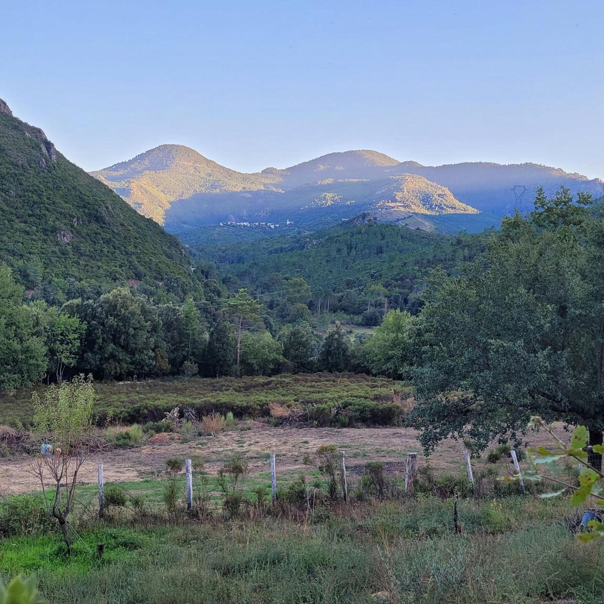
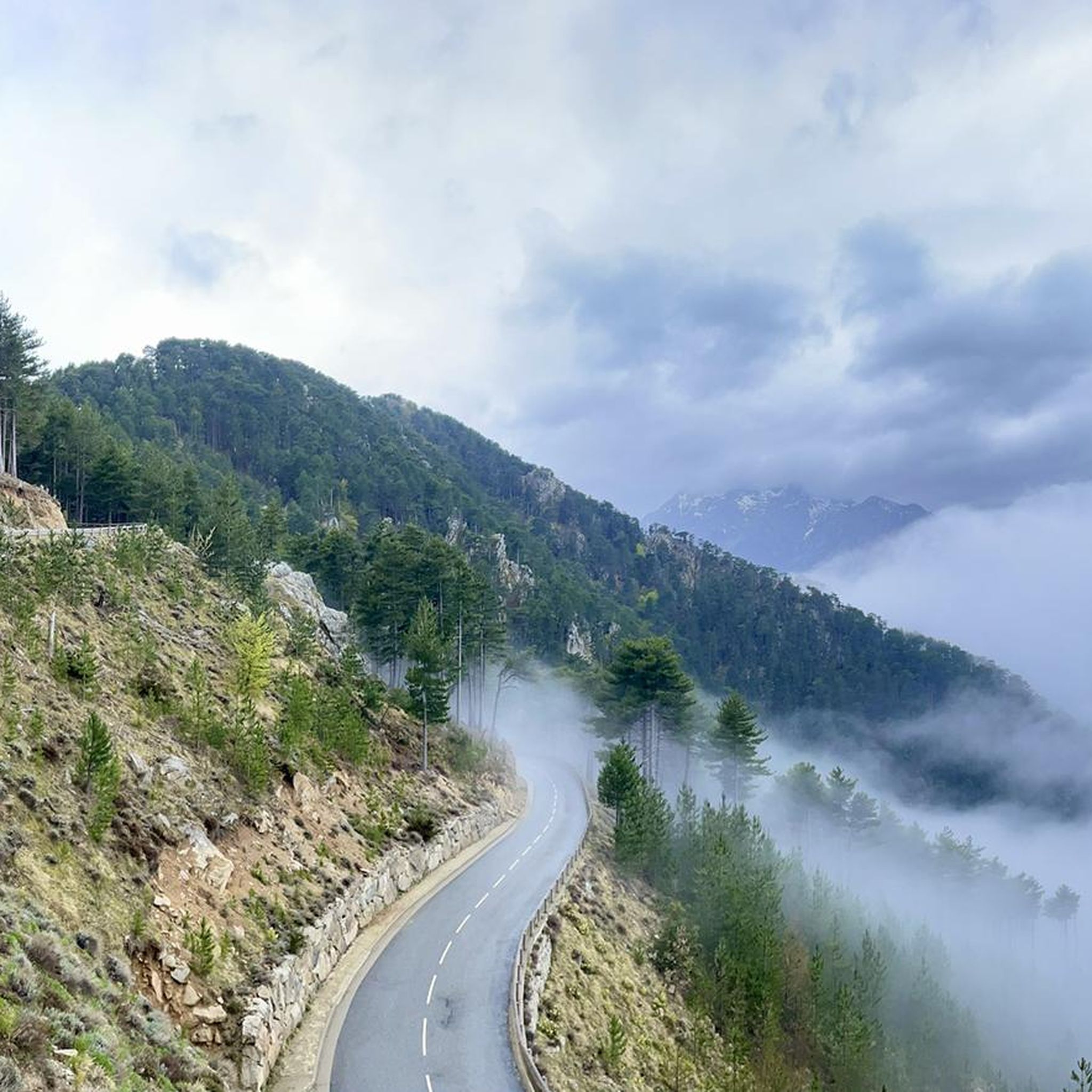
Touring cycling routes around Noceta traverse a mountainous commune within the Regional Natural Park of Corsica, situated at an altitude of approximately 500 meters. The terrain is characterized by extensive forests, including Corsican pines, and winding paved roads with numerous ascents and descents. The Vechju river flows through the area, adding to the diverse landscape.
Best touring cycling routes around Noceta
- The most popular touring cycling route is Défilé de l'Inzecca – Strette Gorge loop from Vivario, a 66.9…
Last updated: June 28, 2026
4.8
(10)
154
riders
108km
07:44
2,300m
2,300m
Hard bike ride. Very good fitness required. Mostly paved surfaces. Suitable for all skill levels.
5.0
(4)
71
riders
79.5km
05:47
1,780m
1,780m
Hard bike ride. Very good fitness required. Mostly paved surfaces. Suitable for all skill levels.

Sign up for free
4.0
(2)
36
riders
43.5km
03:00
730m
730m
Hard bike ride. Very good fitness required. Mostly paved surfaces. Suitable for all skill levels.
5.0
(1)
16
riders
35.7km
02:47
990m
990m
Hard bike ride. Very good fitness required. Mostly paved surfaces. Suitable for all skill levels.
5.0
(1)
10
riders
78.9km
06:16
2,290m
2,290m
Hard bike ride. Very good fitness required. Mostly paved surfaces. Suitable for all skill levels.
Get access to more routes and recommendations from other explorers.
Sign up for free
Already have an account?
Our route recommendations are based on thousands of hikes, rides, and runs completed by other people on komoot.
Start today with a free account
Your next adventure awaits.
Login or Signup

Tips from the Community


Instead of pasta, paninis, and cakes, they serve entrecôte and salad. Not for cyclists or hikers.
0
0

The campsite is private property. Access is reserved for campsite guests.
0
0


The place, in the middle of the mountains, is ideal as a base for cycling and hiking tours. The food is very good and the entire complex is simple but well maintained.
2
0
The Vecchio rises on the Monte d'Oro and is initially called Agnone. This river is best known for its Cascades des Anglais, which attract hundreds of tourists every day in high season. From the hamlet of Vizzavona onwards, the river is called Vecchio and you only meet very few people. Shortly after entering Canaglia, it joins the Manganello. Here the Vecchio valley becomes very lonely. On the right-hand side, far above the riverbed, the railway line winds its way along the hills, barely visible. You don't notice the busy T20, which lies behind the hills. You only see it when you get off at the Ponte Vecchio. High above us, it crosses the Vecchio valley on the new bridge. Later, the Vecchio flows into the Tavignano, which reaches the sea near Aléria.
1
0
The Route Forestière 6 was a road in Corsica established in 1854 by the Décret Imperial 1782. It was built to develop one of Corsica's forests for the timber industry. Operated by the state, it had the status of a national road. The F6 branched off from the National Road 198 south of Aléria and led to Vivario. It was 45 kilometers long. It was downgraded in 1973.
1
0
The Vecchio rises on the Monte d'Oro and is initially called Agnone. This river is best known for its Cascades des Anglais, which attract hundreds of tourists every day in high season. From the hamlet of Vizzavona onwards, the river is called Vecchio and you only meet very few people. Shortly after entering Canaglia, it joins the Manganello. Here the Vecchio valley becomes very lonely. On the right-hand side, far above the riverbed, the railway line winds its way along the hills, barely visible. You don't notice the busy T20, which lies behind the hills. You only see it when you get off at the Ponte Vecchio. High above us, it crosses the Vecchio valley on the new bridge. Later, the Vecchio flows into the Tavignano, which reaches the sea near Aléria.
1
0
Frequently Asked Questions
How many touring cycling routes are available around Noceta?
There are over 30 touring cycling routes around Noceta, offering a variety of experiences. The majority of these routes are classified as difficult, reflecting the mountainous terrain of the region.
Are there any easy touring cycling routes suitable for beginners or families in Noceta?
While Noceta is known for its challenging terrain, there are a few easier routes available. However, the region's mountainous topography means most paths involve significant ascents and descents. For a less strenuous approach, consider the growing availability of e-bikes to make these routes more accessible.
What are the options for long-distance touring cycling from Noceta?
Noceta is strategically located on the renowned GT20 (Grande Traversée de la Corse), a challenging 550-600 km long-distance cycling route that traverses the island from north to south. The village itself is part of a particularly demanding stage of the GT20, including a significant climb to the Col de Croce.
Are there any circular touring cycling routes around Noceta?
Yes, many routes around Noceta are designed as loops. For example, the challenging Défilé de l'Inzecca – Strette Gorge loop from Vivario is a 107.8 km trail, and the Nuceta Bridge – Corte loop from Venaco offers a 43.5 km ride through mountainous terrain.
What kind of scenery can I expect on touring cycling routes in Noceta?
Cycling around Noceta offers breathtaking panoramic views of surrounding mountain ranges and valleys. You'll traverse extensive forests, notably the Padula Forest with its majestic Corsican pines, and ride alongside the clear waters of the Vechju river. Passes like the Col de Sorba are known for their exceptional beauty.
What are some of the most challenging touring cycling routes in the Noceta area?
The region is characterized by demanding routes. The Défilé de l'Inzecca – Strette Gorge loop from Vezzani is a difficult 79.5 km path with significant elevation gains. Another challenging option is the Venaco – Nuceta Bridge loop from Caselle, covering 35.7 km with nearly 1000 meters of elevation gain.
What natural attractions or landmarks can I see along the touring cycling routes near Noceta?
The routes offer access to several natural highlights. You can encounter the Strette Gorge, the Riviseccu River, and even views of the Monte Rotondo Summit. The area is also known for its numerous sources and fountains, and the Vechju river is popular for water sports.
What do other touring cyclists enjoy most about cycling in Noceta?
The area is highly rated by the komoot community, with an average score of 4.7 stars from over 90 reviews. Reviewers often praise the challenging climbs, the stunning panoramic views, and the authentic, less-traveled side of Corsica experienced on these quiet, winding roads.
Is Noceta a good destination for touring cyclists who enjoy mountain passes?
Absolutely. Noceta is situated in a mountainous region, and its routes frequently include significant climbs and descents. The village is part of a demanding stage of the GT20, which features the challenging ascent to the Col de Croce, spanning approximately 12 kilometers with a 500-meter elevation gain.
Are there any routes that pass through the extensive forests mentioned in the region?
Yes, many routes will take you through the region's rich forests. The area boasts extensive forests, notably the Padula Forest with its majestic Corsican pines (pins laricci). You can expect to cycle through these wooded areas, offering shade and a different kind of natural beauty.
What is the best time of year to go touring cycling in Noceta?
The mountainous topography means cyclists can expect varied conditions. While specific recommendations depend on personal preference for heat and challenge, spring and autumn generally offer more temperate weather for touring cycling in Corsica, avoiding the peak summer heat and potential winter snow at higher elevations.
Are there any touring cycling routes that offer views of the Vechju river?
Yes, the Vechju river flows through the area, and several touring cycling routes offer views of its clear waters. The region research highlights that the Vechju river is a prominent natural feature, and routes are often designed to showcase the diverse landscape, including riverbanks.
Most popular attractions around Noceta

Get inspired with the komoot mobile app


Explore more
Browse the best Cycling routes in other regions.
