The best running trails around Saint-Roman-De-Codières
4.5
(36)
1,039
runners
129
runs
Jogging around Saint-Roman-De-Codières offers diverse terrain within the Cévennes region, characterized by significant altitude variations ranging from 280 meters to 981 meters. The area features forested hills, ancient transhumance paths, and several valleys, including the Recodier, Vidourle, and Savel. Runners can explore routes through varied landscapes of limestone, schist, and granite soils, providing a mix of challenging climbs and scenic paths along streams. This natural environment supports a wide array of jogging and trail running experiences.
Best jogging routes around…
Last updated: July 8, 2026
5.0
(1)
20
runners
11.0km
01:47
500m
500m
Hard run. Very good fitness required. Sure-footedness, sturdy shoes and alpine experience required.
32
runners
7.88km
00:51
90m
90m
Moderate run. Good fitness required. Mostly paved surfaces. Suitable for all skill levels.

Sign up for free
5.0
(1)
10
runners
7.67km
00:53
190m
190m
Moderate run. Good fitness required. Mostly paved surfaces. Suitable for all skill levels.
6
runners
5.86km
00:48
200m
210m
Moderate run. Good fitness required. Mostly paved surfaces. Suitable for all skill levels.
5
runners
7.27km
00:55
260m
260m
Moderate run. Good fitness required. Mostly paved surfaces. Suitable for all skill levels.
Get access to more routes and recommendations from other explorers.
Sign up for free
Already have an account?
Our route recommendations are based on thousands of hikes, rides, and runs completed by other people on komoot.
Start today with a free account
Your next adventure awaits.
Login or Signup

Tips from the Community

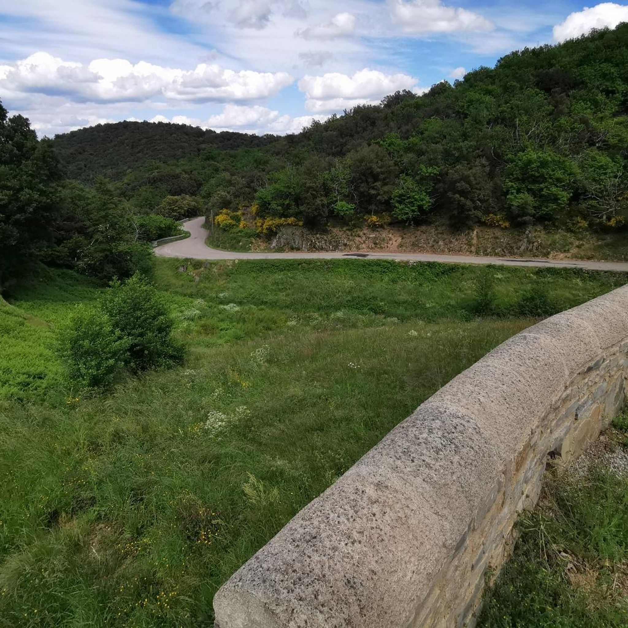
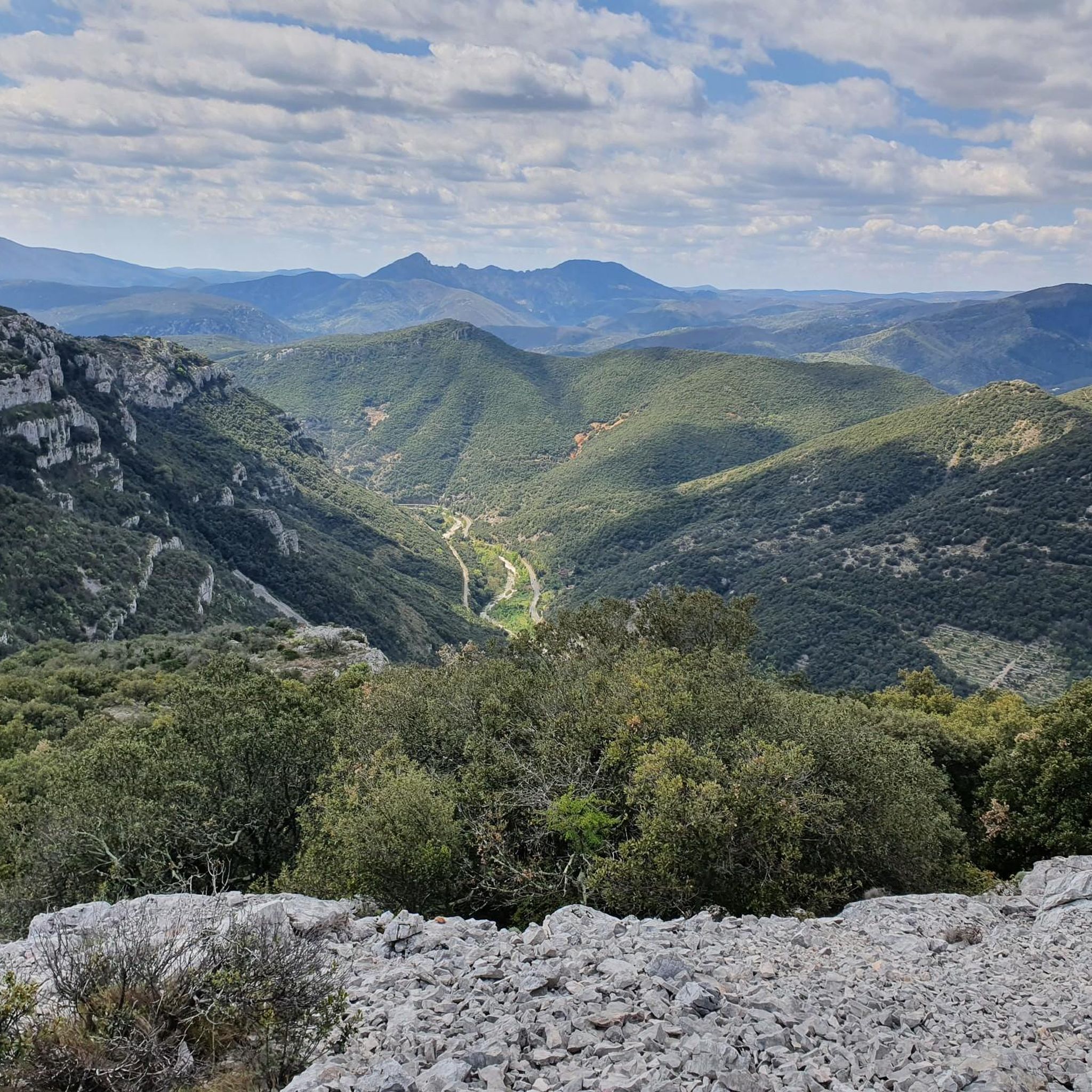
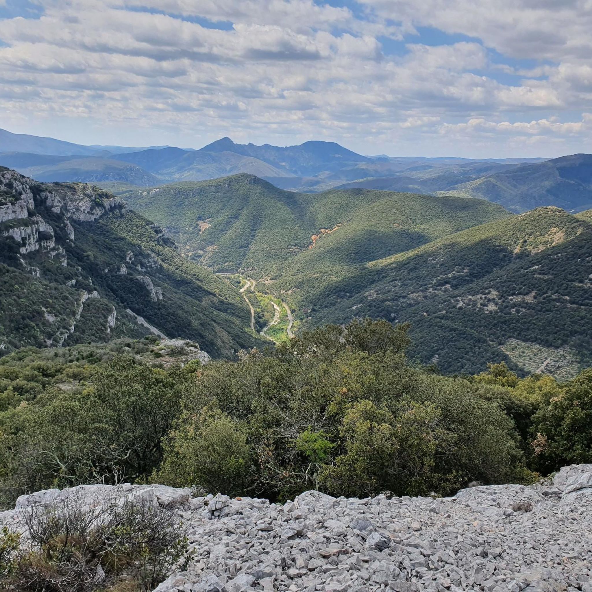
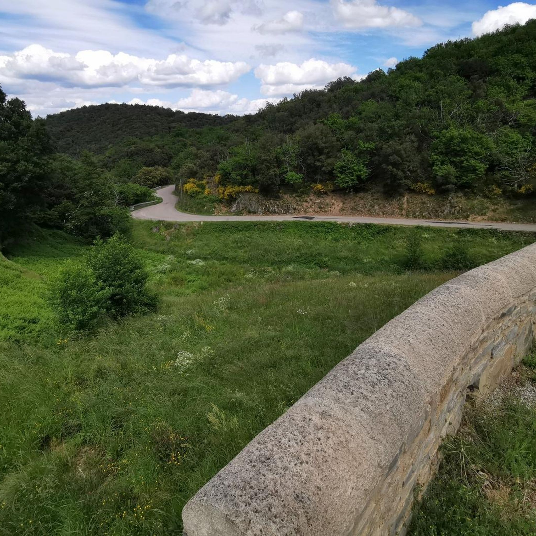
Superb 360° views. Be careful of the wind, bring a sweater :)
0
0

Crossing cave walled at the ends (hence the name “Clauside”).
1
0
With its 713m altitude, the Ranc de Banes offers a magnificent belvedere over the village of Sumène and the Rieutord valley.
1
0

This town has a remarkable natural heritage! You will find on the territory, the regional nature reserve of Combe Chaude as well as the gorges of Rieutord. It also encompasses five natural areas of ecological, faunal and floristic interest.
2
0
Frequently Asked Questions
How many running routes are available around Saint-Roman-De-Codières?
There are over 120 jogging and running routes available around Saint-Roman-De-Codières. These routes offer a diverse range of experiences, from moderate loops to more challenging trails with significant elevation gain, catering to various fitness levels.
What do other runners enjoy most about the trails in Saint-Roman-De-Codières?
The running trails in Saint-Roman-De-Codières are highly rated by the komoot community, with an average score of 4.5 stars from over 30 reviews. Runners often praise the varied terrain, the beautiful forested hills, and the scenic paths along streams that characterize the Cévennes region.
Are there easy jogging routes for beginners or those looking for a relaxed run?
Yes, Saint-Roman-De-Codières offers several easy jogging routes. For instance, the Running loop from Cézas is a moderate 3.6 miles (5.9 km) path that provides varied scenery along valleys and streams, suitable for a quicker, less strenuous run. There are 6 easy routes in total.
Are there challenging running trails with significant elevation gain?
Absolutely. The region is known for its significant altitude variations, ranging from 280 meters to 981 meters. Routes like the Moulin de Mouleyrette loop from Colognac, which is 7.9 miles (12.8 km) with over 420 meters of elevation gain, offer a rewarding challenge. Another difficult option is the Col de la Tribale – Col de l'Asclier loop from Saint-Martial, spanning over 22 km with more than 1000 meters of ascent. There are 60 difficult routes available.
Can I find circular jogging routes in the area?
Yes, many of the running routes around Saint-Roman-De-Codières are circular, allowing you to start and finish at the same point. Examples include the Moulin de Mouleyrette loop from Colognac and the Camp Barrat loop from Colognac, which lead through diverse landscapes like forested hills and chestnut groves.
What natural features can I expect to see while running in Saint-Roman-De-Codières?
The region boasts a rich tapestry of natural features. You'll encounter diverse vegetation including arbousier, green oaks, and extensive chestnut groves. Trails often wind through forested hills, along the Recodier, Vidourle, and Savel valleys, and past various streams. The terrain varies with limestone, schist, and granite soils, providing ever-changing scenery. Keep an eye out for raptors and bats in the Combe Chaude Nature Reserve.
Are there any historical sites or landmarks along the running trails?
Yes, the area is rich in history. You can explore ancient transhumance paths on Mont Liron, which also features megalithic sites like menhirs and dolmens. The village itself has a vestige of a medieval castle, known as The Tower, which offers panoramic views. Many isolated farmhouses and hamlets scattered across the territory also add to the historical charm.
Are there running routes with scenic viewpoints?
Absolutely. Many trails offer spectacular viewpoints, including panoramic vistas of the Aigoual massif and the Cévennes mountains. The Col des Fosses is known for magnificent views stretching across the Vallée Borgne. You can also find the Ranc de Banes Viewpoint and other scenic viewpoints in Cévennes National Park, offering breathtaking 360-degree panoramas.
Are the running trails in Saint-Roman-De-Codières suitable for families?
While many trails involve elevation changes, there are options suitable for families, especially those looking for moderate walks or shorter runs. The well-marked 'Petites Randonées' (small hikes) are often described as accessible for all levels, making them a good choice for families who enjoy outdoor activities together.
Are dogs allowed on the running trails?
Generally, dogs are welcome on trails in the Cévennes region, especially if kept on a leash to protect wildlife and respect other users. However, it's always advisable to check specific local regulations, particularly within protected areas like the Cévennes National Park, where rules might vary.
Is parking available near the jogging trailheads?
Yes, parking is typically available in or near the villages and hamlets that serve as starting points for many trails, such as Colognac, Cézas, and Saint-Martial. Given the rural nature of the area, you'll often find designated parking areas or suitable roadside spots near popular trail access points.
What is the best time of year for running in Saint-Roman-De-Codières?
The diverse forests, including extensive chestnut groves, provide shaded trails, which are particularly appealing during warmer months. Spring and autumn offer pleasant temperatures and vibrant scenery, while summer can be enjoyed on shaded routes. Winter running is also possible, though some higher elevation paths might require more preparation due to potential colder conditions.
Are there any long-distance running trails in the area?
Yes, for those seeking longer distances, routes like the Col de la Tribale – Col de l'Asclier loop from Saint-Martial offer over 22 kilometers of challenging terrain. The extensive network of trails, including ancient transhumance paths, allows for combining sections to create longer, more demanding runs.
Most popular routes around Saint-Roman-De-Codières
Most popular attractions around Saint-Roman-De-Codières

Get inspired with the komoot mobile app


Explore more
Browse the best Running Trails & Routes in other regions.
