The 4 Most Amazing Peaks around Ozolles
Best mountain peaks around Ozolles offer diverse landscapes and elevated viewpoints. This region features several summits, some reaching over 700 meters, providing extensive panoramic vistas. The area's peaks combine natural beauty with historical significance, including sites that once served as defensive positions. Exploring these mountain peaks allows for an appreciation of the local geography and natural environment.
Best mountain peaks around Ozolles
- The most popular mountain peaks is Suin Hill, a summit that offers panoramic views and an observation…
Last updated: July 1, 2026
Suin Hill
Highlight • Summit
Translated by Google •
Tip by

Mount St. Cyr
Highlight • Summit
Translated by Google •
Tip by

Sign up now to discover places like this
Get recommendations on the best single tracks, peaks, & plenty of other exciting outdoor places.
Sign up for free
Mount Dun
Highlight • Summit
Translated by Google •
Tip by
Mont Saint-Cyr
Highlight • Viewpoint
Translated by Google •
Tip by

Start today with a free account
Your next adventure awaits.
Login or Signup
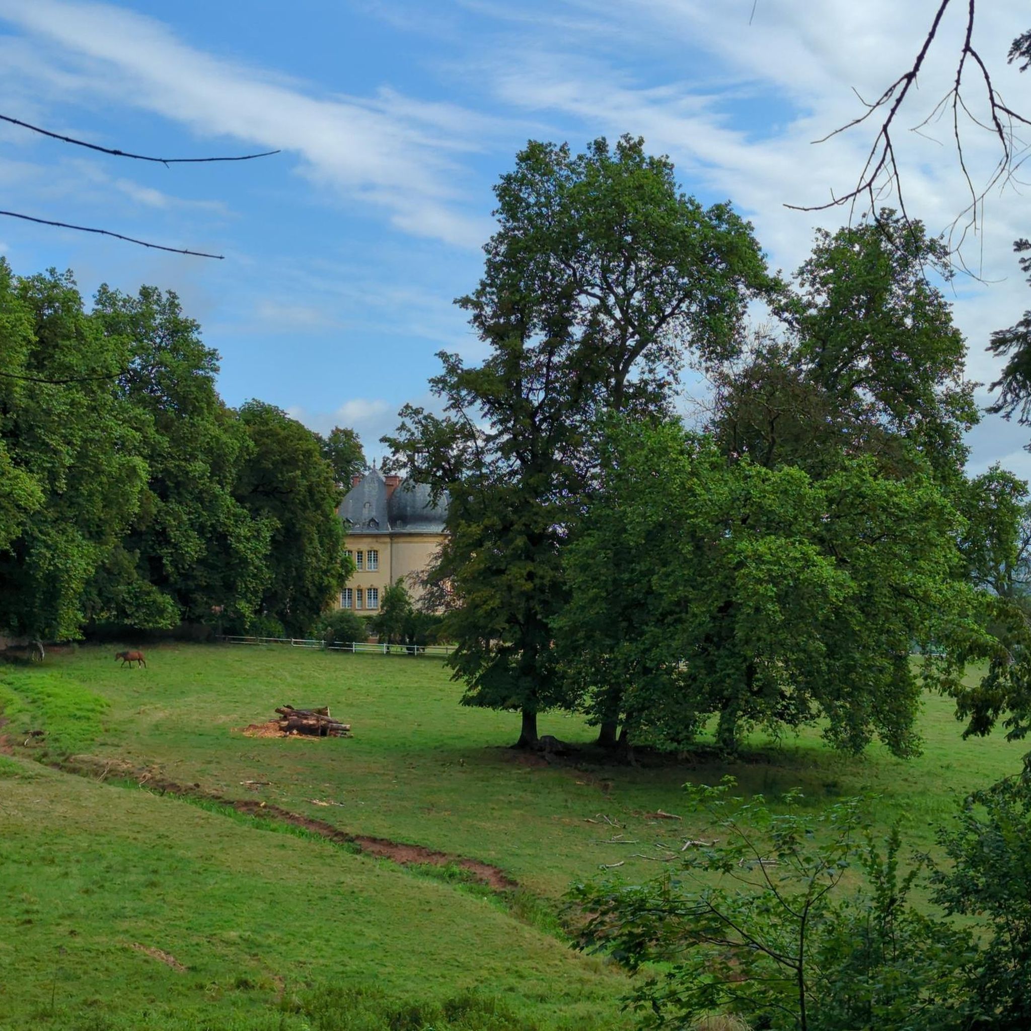

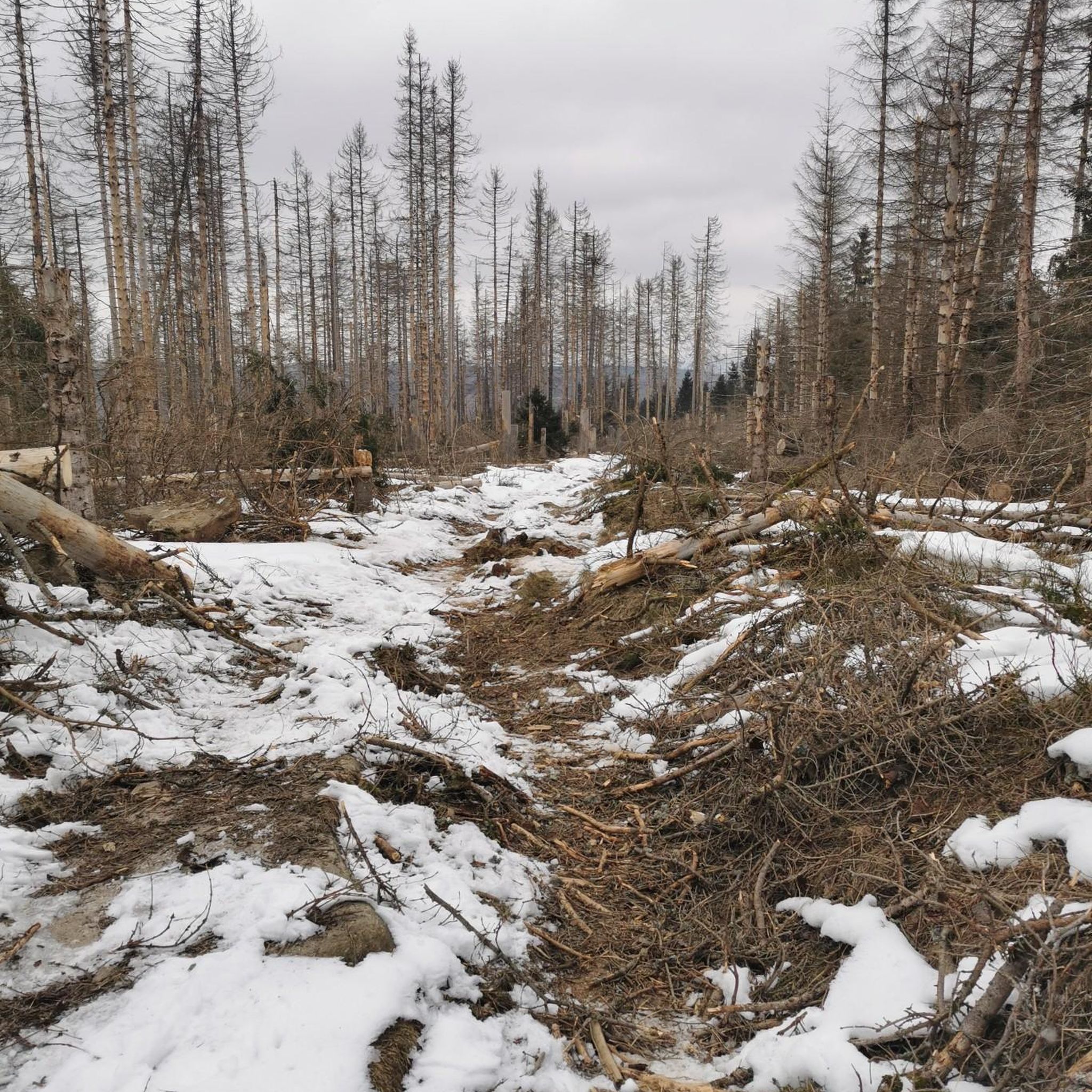
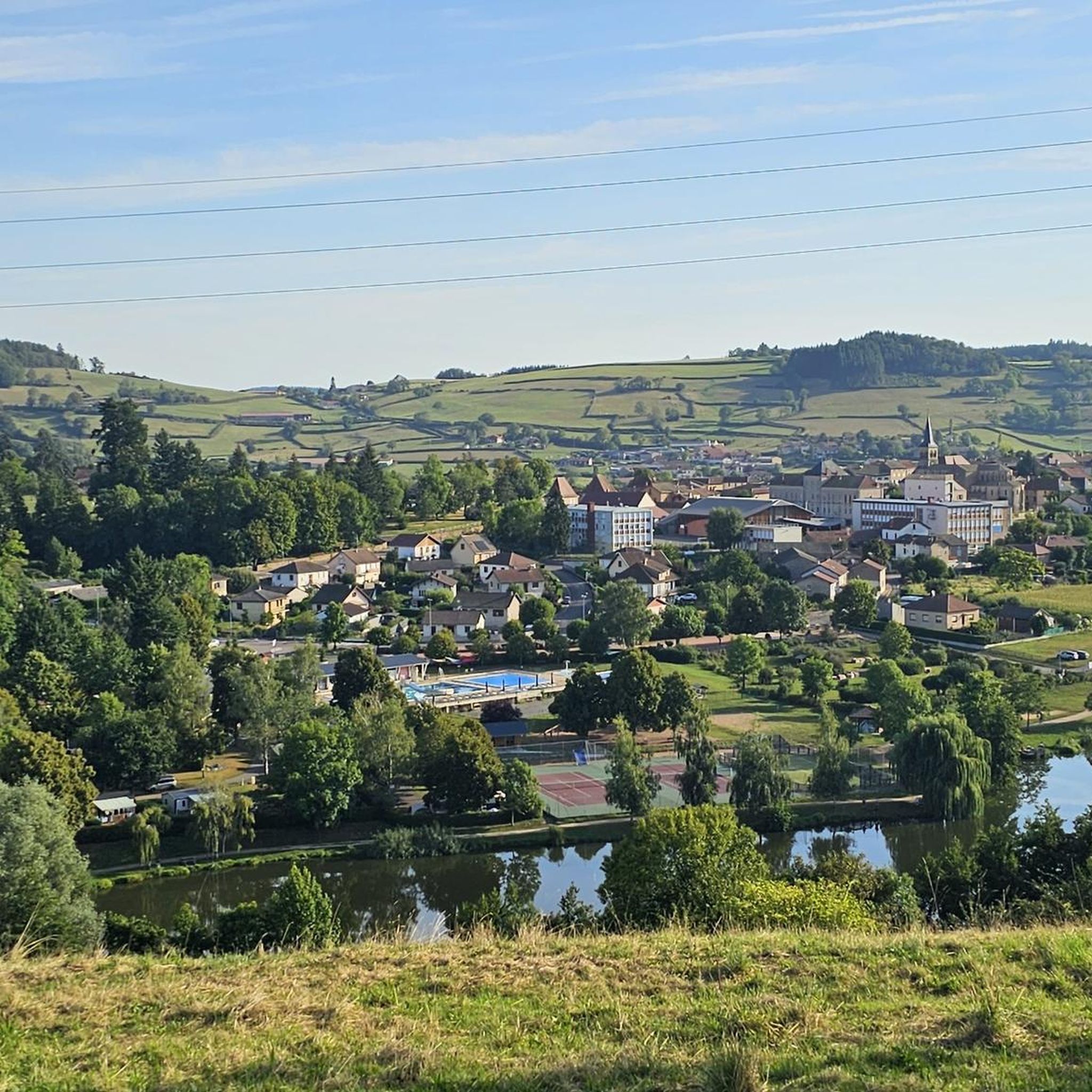
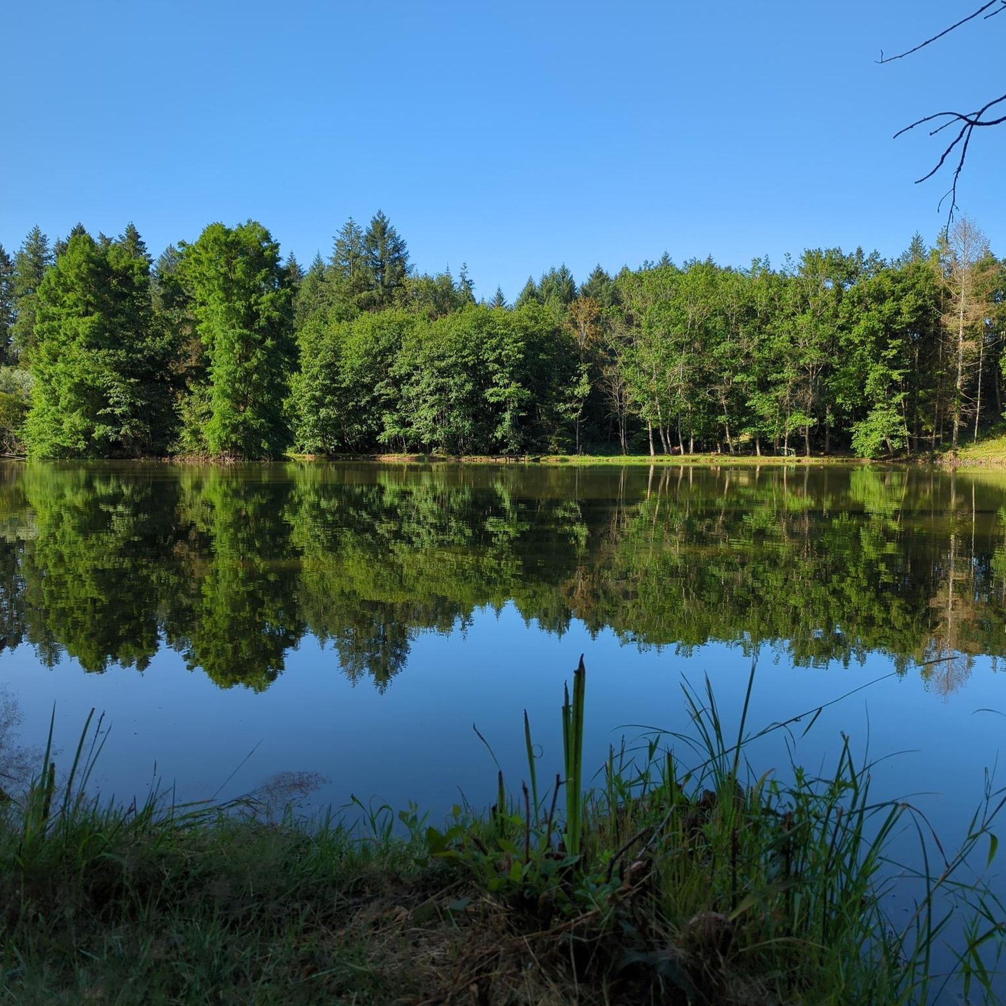

Tips from the Community

La Butte de Suin is a 593-meter-high viewpoint hill in the Saône-et-Loire department, near the small French municipality of Suin. From the summit, there is an impressive 360-degree panoramic view. In clear weather, you can look far over the hilly landscapes of Southern Burgundy (including the Charolais and Clunysois regions, and as far as Beaujolais). At the summit, there is a striking statue of the Virgin Mary, an orientation table for hikers, and the remains of an old fortress that was used from the Celtic period until the 16th century.
0
0
Mont Saint-Cyr is located in southern Burgundy (Saône-et-Loire department) in the municipality of Montmelard and, at 771 meters, is the highest point in the Mâconnais mountains. From the summit, there is a wide panoramic view of the surrounding landscapes of Charolais, Brionnais, and Clunisois. In very clear weather, the view extends eastwards to Mont Blanc in the Alps. On the mountain are the historical remains of a 10th-century monastery, which was destroyed during the Wars of Religion. There is a picnic area in the forest, as well as orientation panels that help identify the surrounding peaks and valleys.
0
0
Mont Saint-Cyr is located in southern Burgundy (Saône-et-Loire department) in the municipality of Montmelard and, at 771 meters, is the highest point of the Mâconnais mountains. From the summit, there is a wide panoramic view of the surrounding landscapes of Charolais, Brionnais, and Clunisois. In very clear weather, the view extends eastwards to Mont Blanc in the Alps. On the mountain are the historical remains of a 10th-century monastery, which was destroyed during the Huguenot Wars. There is a picnic area in the forest as well as orientation panels that are helpful in identifying the surrounding peaks and valleys.
0
0

Mont Saint-Cyr 771 m, the highest point in the Mâconnais mountains with a superb view.
1
0


Great walk. Beautiful view with picnic tables and tap with drinking water. However, NOT an easy walk. You must be able to walk well.
0
0

Impressive views over southern Burgundy and Haut-Beaujolais
1
0
Frequently Asked Questions
Which mountain peaks around Ozolles offer the best panoramic views?
For extensive panoramic views, Suin Hill features an observation deck with information boards to identify surrounding landmarks. Mount St. Cyr, the highest point of the Mâconnais mountains, provides a 360° vista where you can even see the Alps on clear days.
Are there any mountain peaks with historical significance in the Ozolles region?
Yes, Mount Dun is notable for its rich history. It was once a strong defensive stronghold, resisting various invasions, and now houses a chapel. The site offers extensive views along with picnic facilities.
What kind of hiking trails can I find near the mountain peaks around Ozolles?
The Ozolles region offers a variety of hiking trails. For example, Suin Hill has information boards describing routes ranging from 2 to 15 kilometers, including some on tarmac. You can find more detailed hiking routes, including easy and moderate options like the 'Montrouant Castle loop from Gibles' or the 'Mount St. Cyr – Mont Saint-Cyr loop from Montmelard', by exploring the Hiking around Ozolles guide.
Are there family-friendly mountain walks or easy trails suitable for beginners?
While some peaks like Mount Dun are noted as not easy, Suin Hill is generally easier to access, even by car, and features a generous green area. For specific easy hiking routes, you can check the Hiking around Ozolles guide, which lists options like the 'Montrouant Castle loop from Gibles' at 5.95 km.
What do visitors enjoy most about the mountain peaks in Ozolles?
Visitors frequently praise the superb panoramic views, especially from spots like Suin Hill and Mount St. Cyr. The historical significance of sites like Mount Dun, combined with its picnic facilities and drinking water, also makes it a popular spot for a rewarding outing.
Are there opportunities for other outdoor activities near the mountain peaks?
Yes, beyond hiking, the Ozolles region offers various cycling opportunities. You can find touring bicycle routes, such as the 'Canal du Centre greenway – Basilica of Paray-le-Monial loop from Charolles', and road cycling routes, like the 'Crocaloge to Château climb – View from Mont Saint-Cyr loop from Vaudebarrier'. Explore these options in the Cycling around Ozolles and Road Cycling Routes around Ozolles guides.
What is the best season to hike the mountain peaks around Ozolles?
The best season for hiking around Ozolles is typically spring through autumn (April to October) when the weather is milder and the views are clearest. While some trails might be accessible in winter, conditions can be more challenging due to cold and potential ice or snow, especially on higher peaks like Mount St. Cyr.
Are there any less crowded mountain trails or hidden gems in the area?
While specific 'hidden gems' are not explicitly detailed, focusing on the numerous trails described on information boards at places like Suin Hill, especially the longer ones, might lead to quieter experiences. Exploring the diverse routes listed in the Hiking around Ozolles guide beyond the most popular ones could also reveal less frequented paths.
Are there circular hiking routes available near the Ozolles mountain peaks?
Yes, the region offers several circular hiking routes. For instance, the Hiking around Ozolles guide includes options like the 'Montrouant Castle loop from Gibles' and the 'Moulin du Palais loop from Gibles', providing varied distances and difficulties for a round trip.
Where can I find parking for mountain hikes in the Ozolles area?
For Suin Hill, there is a smaller parking lot near the restaurant and a larger one slightly behind it, making it easily accessible by car. For other peaks and trailheads, parking availability can vary, so it's advisable to check specific route details or local signage upon arrival.
Most popular attractions around Ozolles

Get inspired with the komoot mobile app


Explore more
See even more amazing summits around Ozolles with these guides:
