The best walks and hikes around Servon-Melzicourt
4.3
(61)
175
hikers
23
hikes
Hiking around Servon-Melzicourt offers diverse landscapes in the Marne department of north-eastern France. The region is situated on the Langres plateau, featuring rolling green fields and lush forests. Trails traverse varied terrain, providing views of the surrounding hills and a tranquil natural setting within the broader Argonne region.
Best hiking trails around Servon-Melzicourt
- The most popular hiking route is Étang Harazée – Guyard shelters loop from Saint-Thomas-en-Argonne, a 9.0 miles (14.6 km) trail that takes 3 hours 51 minutes…
Last updated: July 5, 2026
4.4
(5)
18
hikers
14.8km
03:55
150m
150m
Moderate hike. Good fitness required. Easily-accessible paths. Suitable for all skill levels.
3.8
(5)
8
hikers
11.7km
03:08
130m
130m
Moderate hike. Good fitness required. Easily-accessible paths. Suitable for all skill levels.

Sign up for free
4.8
(4)
8
hikers
13.1km
03:25
100m
100m
Moderate hike. Good fitness required. Easily-accessible paths. Suitable for all skill levels.
4.0
(4)
10
hikers
6.83km
01:45
30m
30m
Easy hike. Great for any fitness level. Easily-accessible paths. Suitable for all skill levels.
5.0
(1)
6
hikers
11.9km
03:12
140m
140m
Moderate hike. Good fitness required. Easily-accessible paths. Suitable for all skill levels.
Get access to more routes and recommendations from other explorers.
Sign up for free
Already have an account?
Our route recommendations are based on thousands of hikes, rides, and runs completed by other people on komoot.
Start today with a free account
Your next adventure awaits.
Login or Signup
Popular around Servon-Melzicourt


Tips from the Community

This ossuary, which has the status of a national necropolis, houses the remains of approximately 10,000 soldiers who fell during the Battle of Argonne. The imposing monument found there was created by the sculptor Raoul Eugène Lamourdedieu.
0
0
The Saint-Roch chapel appeared in the 17th century, well before the La Harazée national necropolis next to which it is located. The latter contains the remains of 1,672 soldiers who fell during the Battle of Argonne.
0
0


The Lost Battalion Memorial is located in the Charlevaux Ravine near Binarville, on the D66, and commemorates the heroic struggle of some 554 American soldiers of the 77th Infantry Division who were surrounded by German troops during the Meuse-Argonne Offensive in October 1918. Led by Major Charles Whittlesey, these men held out for six days, cut off from supplies and communications, with only carrier pigeons as a means of contact. The most famous of these, Cher Ami, saved the battalion by delivering a crucial message despite being wounded, which stopped friendly fire.
8
0


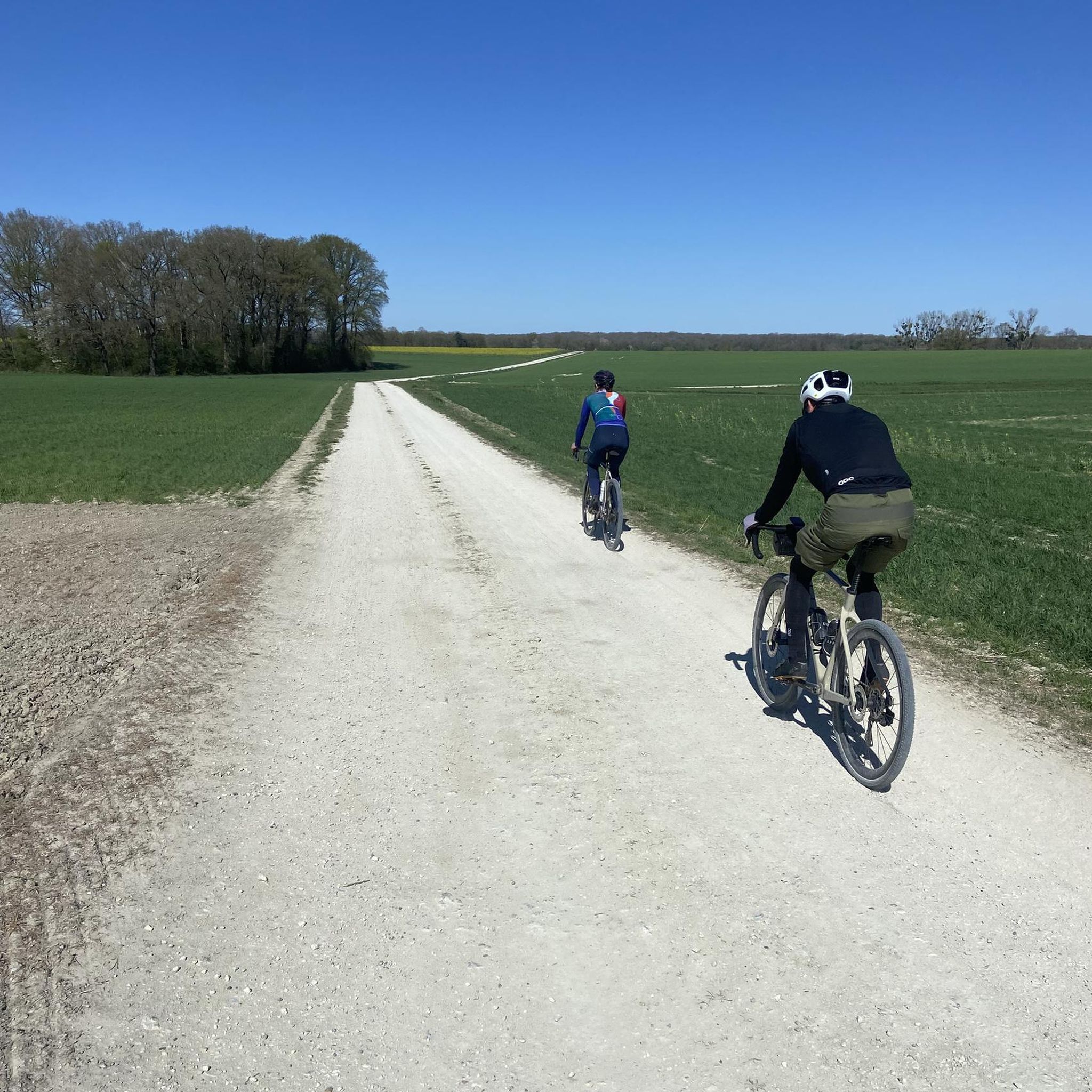
The GR14 . also runs along this gravel path
0
0

The King Karl Spring in the Argonne. Karl Friedrich Alexander von Württemberg was from 1864 to 1891 as Charles the Third King of Württemberg. There were innumerable forest camps in the Argonne during the World War. Initially little more than a leaf colony, large camps emerged over the course of the war, often terraced into the steep slopes and gorges of the Argonne Forest. Equipped with a light rail connection, canteens, libraries and much more, they benefited from the abundance of water in the forest. Graf-Häseler-Quelle, Kronprinzen-Quelle and König-Karl-Quelle are just a few names. The König-Karl-Quelle is the only well-known, preserved enclosed spring in the Argonnerwald. Very close to two large forest camps - Totermann camp and Totental camp, the troops will have supplied themselves with fresh water here. The 19th Reserve Division mentioned on the edging of the spring stayed in the Argonne in the summer of 1916 after the Battle of Verdun. The Reserve Infantry Regiment 73 writes about the breakneck journeys in the open wagon of the Argonne Railway to the Totermann camp. Contributing Author By M.P. Post date April 26, 2015 https://www.verdun14-18.de/die-koenig-karl-quelle-in-den-argonnen/
1
1
Frequently Asked Questions
How many hiking trails are available around Servon-Melzicourt?
There are over 20 hiking trails around Servon-Melzicourt listed on komoot. These routes offer a variety of experiences, from easy strolls to more challenging moderate hikes through the region's diverse landscapes.
What kind of terrain can I expect on hikes in Servon-Melzicourt?
The region is situated on the Langres plateau, so you can expect rolling green fields, lush forests, and panoramic views of the surrounding hills. Trails often traverse varied terrain, including peaceful countryside paths and some with interesting elevation changes.
Are there any easy, family-friendly hiking options in Servon-Melzicourt?
Yes, Servon-Melzicourt offers several easy trails, with 7 routes specifically categorized as easy. These shorter trails, typically around 5 km, are ideal for families or those looking for a peaceful walk to enjoy the local ecosystem without significant exertion.
Are there any circular walks available around Servon-Melzicourt?
Many of the trails in the area are circular, offering convenient starting and ending points. For example, the Étang Harazée – Guyard shelters loop from Saint-Thomas-en-Argonne is a moderate 14.6 km loop that explores historical sites and natural features.
What historical sites or landmarks can I see while hiking in Servon-Melzicourt?
The region is rich in history, particularly related to World War I. You can integrate historical sites into your hikes, such as the World War I memorial, the Sergeant York trail, or the Ravin du Génie Open-Air World War I Museum. The König-Karl Spring – Lost Battalion Monument loop from Binarville also passes by significant historical monuments.
What do other hikers say about the trails in Servon-Melzicourt?
The trails around Servon-Melzicourt are highly rated by the komoot community, with an average score of 4.4 stars from over 40 reviews. Hikers often praise the tranquil natural setting, the diverse landscapes, and the well-maintained paths that cater to various skill levels.
Are there any longer, more challenging hikes for experienced adventurers?
While most routes are moderate, the broader Argonne region offers advanced tours exceeding 15 km with rugged terrain for experienced hikers. Within the immediate area, routes like the Étang Harazée – Guyard shelters loop from Saint-Thomas-en-Argonne (14.6 km) provide a good moderate challenge.
What are some notable natural features to look out for on the trails?
The region is characterized by its lush forests and rolling green fields. You'll find serene copses and flower-filled meadows, especially during spring and summer. The Étang Harazée – Guyard shelters loop from Saint-Thomas-en-Argonne, for instance, highlights natural features like the Étang Harazée (pond).
Is it possible to combine hiking with exploring local history?
Absolutely. Servon-Melzicourt is located in the Argonne region, which is rich in historical significance, particularly related to World War I. Many trails, such as the Cimetière de la forestière – Le Ravin du Génie loop, pass by memorials, cemeteries, and other historical points of interest, allowing you to immerse yourself in both nature and history.
What is a good moderate trail for someone looking for a slightly longer walk?
For a moderate and slightly longer walk, consider the Very nice loop from Autry. This trail covers approximately 11.6 km and offers a pleasant experience through the local landscape.
Are there any trails that follow old railway lines?
Yes, the La Forge – Old Railway Lines loop from Montcheutin is a moderate 10.3 km path that follows old railway lines through the countryside, offering a relatively flat and accessible experience.
Most popular attractions around Servon-Melzicourt

Get inspired with the komoot mobile app


Explore more
Browse the best Hikes in other regions.
