The best MTB trails around Omey
4.6
(9)
172
riders
19
rides
Mountain bike trails around Omey traverse a landscape characterized by open fields and gentle undulations, with routes often following canal-side paths and rural tracks. The region offers varied terrain suitable for mountain biking, featuring a network of trails that connect small villages and natural areas. This provides a mix of surfaces, from compacted earth to gravel paths, allowing for consistent riding experiences.
Best mountain bike trails around Omey
- The most popular mountain bike trail is Collégiale Notre-Dame-en-Vaux – Chepy Picnic…
Last updated: June 25, 2026
4.0
(3)
42
riders
Moderate mountain bike ride. Good fitness required. Suitable for all skill levels.
5.0
(2)
39
riders
37.1km
02:14
100m
100m
Moderate mountain bike ride. Good fitness required. Suitable for all skill levels.

Sign up for free
14
riders
42.1km
02:44
180m
180m
Moderate mountain bike ride. Good fitness required. Suitable for all skill levels.
24
riders
54.0km
02:49
70m
70m
Moderate mountain bike ride. Good fitness required. Suitable for all skill levels.
9
riders
29.7km
02:10
180m
180m
Moderate mountain bike ride. Good fitness required. Advanced riding skills necessary.
Get access to more routes and recommendations from other explorers.
Sign up for free
Already have an account?
Our route recommendations are based on thousands of hikes, rides, and runs completed by other people on komoot.
Start today with a free account
Your next adventure awaits.
Login or Signup
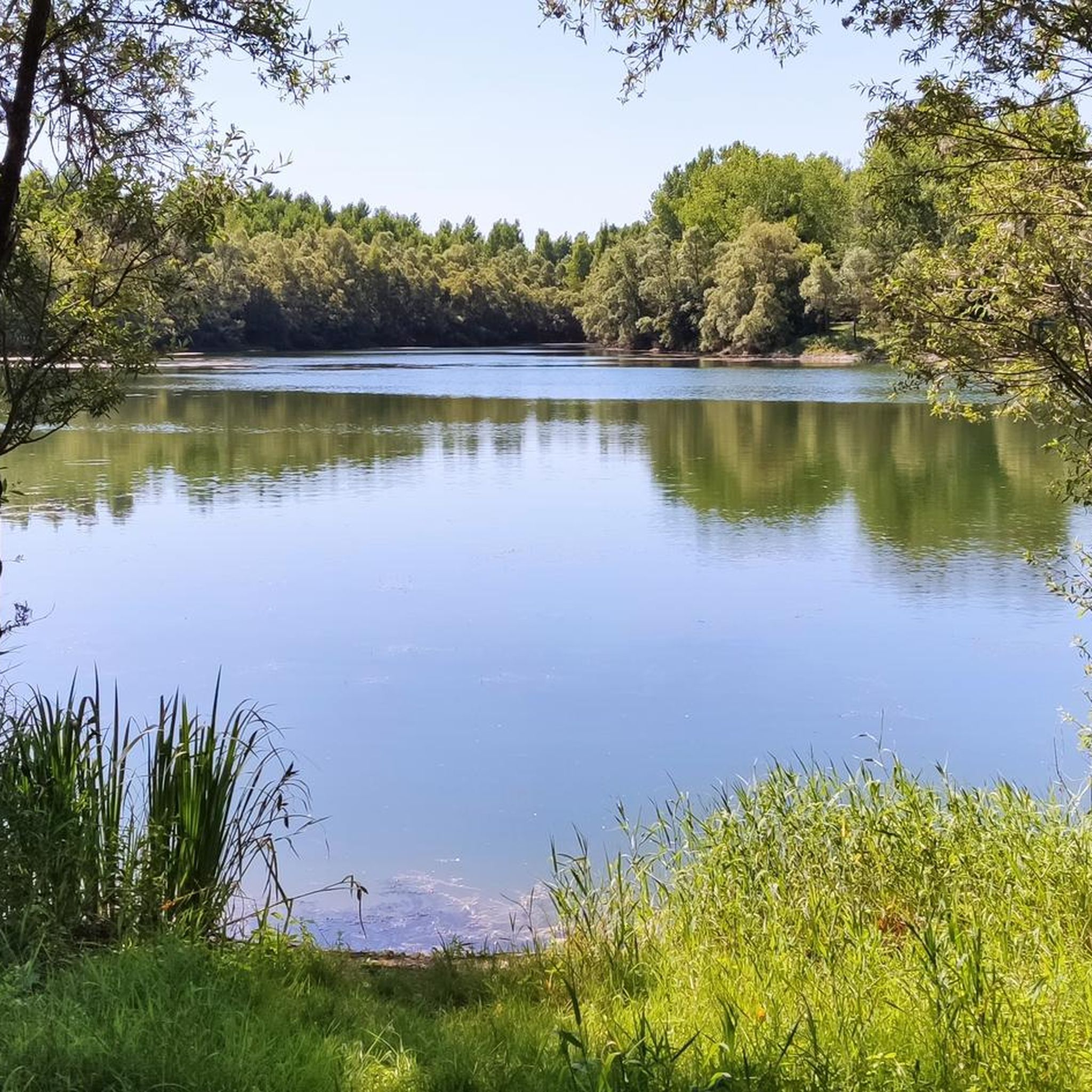
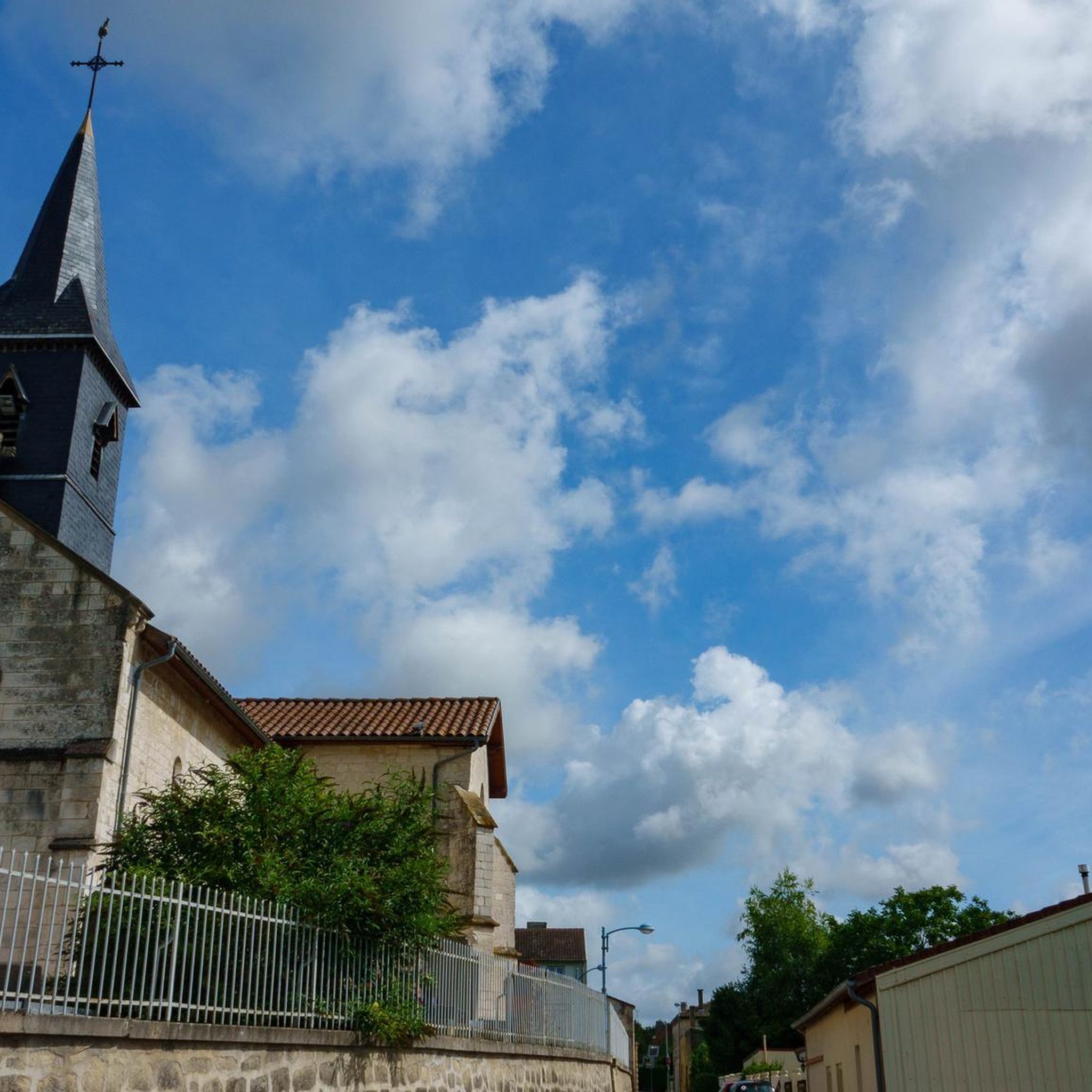

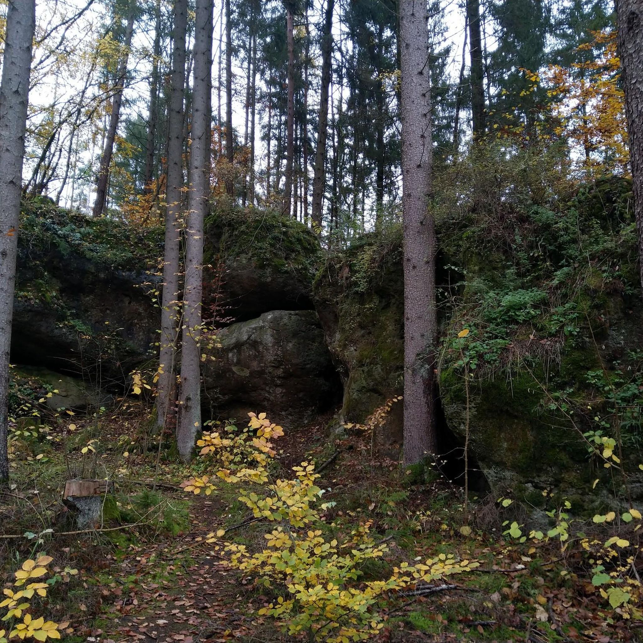
Tips from the Community


The route branches off before you reach this lock, but you can also continue along the road to the lock and then take the bridge over the canal to Chalons-sur-Champagne.
0
0


We really liked the city and the surrounding area. We enjoyed our cycling trip.
1
0
Very nice to ride a bike. There are several corners here that invite you to linger.
0
0
Very nice to ride a bike. There are several corners here that invite you to linger.
0
0
Frequently Asked Questions
What kind of terrain can I expect on mountain bike trails around Omey?
The mountain bike trails around Omey are characterized by open fields and gentle undulations. Routes frequently follow canal-side paths and rural tracks, offering a mix of compacted earth and gravel surfaces. This provides a consistent riding experience across varied rural scenery.
Are there mountain bike trails suitable for beginners in Omey?
Yes, Omey offers several trails suitable for beginners. Out of the 18 available mountain bike routes, 4 are classified as easy, making them ideal for those new to mountain biking or looking for a relaxed ride.
What is the typical distance and elevation gain for mountain bike routes in Omey?
Most mountain bike routes in Omey are moderate in difficulty, with distances generally ranging from 23 to 27 miles (37 to 43 km). The elevation gain is typically gentle, reflecting the region's undulating landscape rather than steep climbs. For example, the Collégiale Notre-Dame-en-Vaux – Chepy Picnic Area loop from Saint-Martin-aux-Champs covers 26.9 miles with only about 43 meters of elevation gain.
Are there any challenging mountain bike trails in Omey for experienced riders?
The mountain bike network in Omey primarily features easy and moderate routes. There are no trails classified as difficult, so experienced riders seeking highly technical terrain or significant elevation challenges might find the routes more suited for a relaxed, scenic ride.
Are there circular mountain bike routes available in Omey?
Yes, many of the mountain bike routes in Omey are designed as loops, allowing you to start and finish at the same point. Examples include the popular Chepy Picnic Area – Canal view loop from Pogny and the Chepy Picnic Area – Canal view loop from Moncetz-Longevas.
What do other mountain bikers say about the trails in Omey?
The mountain bike routes in Omey are highly rated by the komoot community, with an average score of 4.6 stars from 8 reviews. Riders often appreciate the varied rural scenery and the well-maintained canal-side paths and tracks.
What are some scenic highlights or points of interest along the mountain bike trails in Omey?
Along the mountain bike trails in Omey, you can enjoy views of the Cycle path along the Canal latéral à la Marne, which is a prominent feature of many routes. You might also pass by historical sites such as the Notre-Dame-de-l'Assomption Church and the Saint-Julien Church. The Chepy Picnic Area is also a notable spot for a break.
Are there any family-friendly mountain biking options in Omey?
Given the presence of 4 easy-rated trails and the generally gentle terrain with low elevation gain, Omey is well-suited for family-friendly mountain biking. The canal-side paths and rural tracks offer a safe and enjoyable environment for riders of all ages.
Where can I find parking for mountain bike trails in Omey?
While specific parking locations are not detailed for every route, many trails, such as those starting from Saint-Martin-aux-Champs or Pogny, are accessible from villages. The Chepy Picnic Area is a known point of interest and a likely starting point for several loops, suggesting potential parking facilities nearby.
How many mountain bike trails are there in Omey?
There are 18 mountain bike trails available around Omey, offering a variety of routes through open fields, along canal-side paths, and on rural tracks.
What is a popular moderate mountain bike route in Omey?
A popular moderate route is the Gare d'Eau d'Omey – Mont Faverger loop from Saint-Martin-aux-Champs. This trail covers approximately 29.7 kilometers and takes around 2 hours and 10 minutes to complete, offering varied scenery.
Most popular attractions around Omey

Get inspired with the komoot mobile app


Explore more
Browse the best MTB trails in other regions.
