The best running trails around Altersbach
4.6
(201)
2,066
runners
263
runs
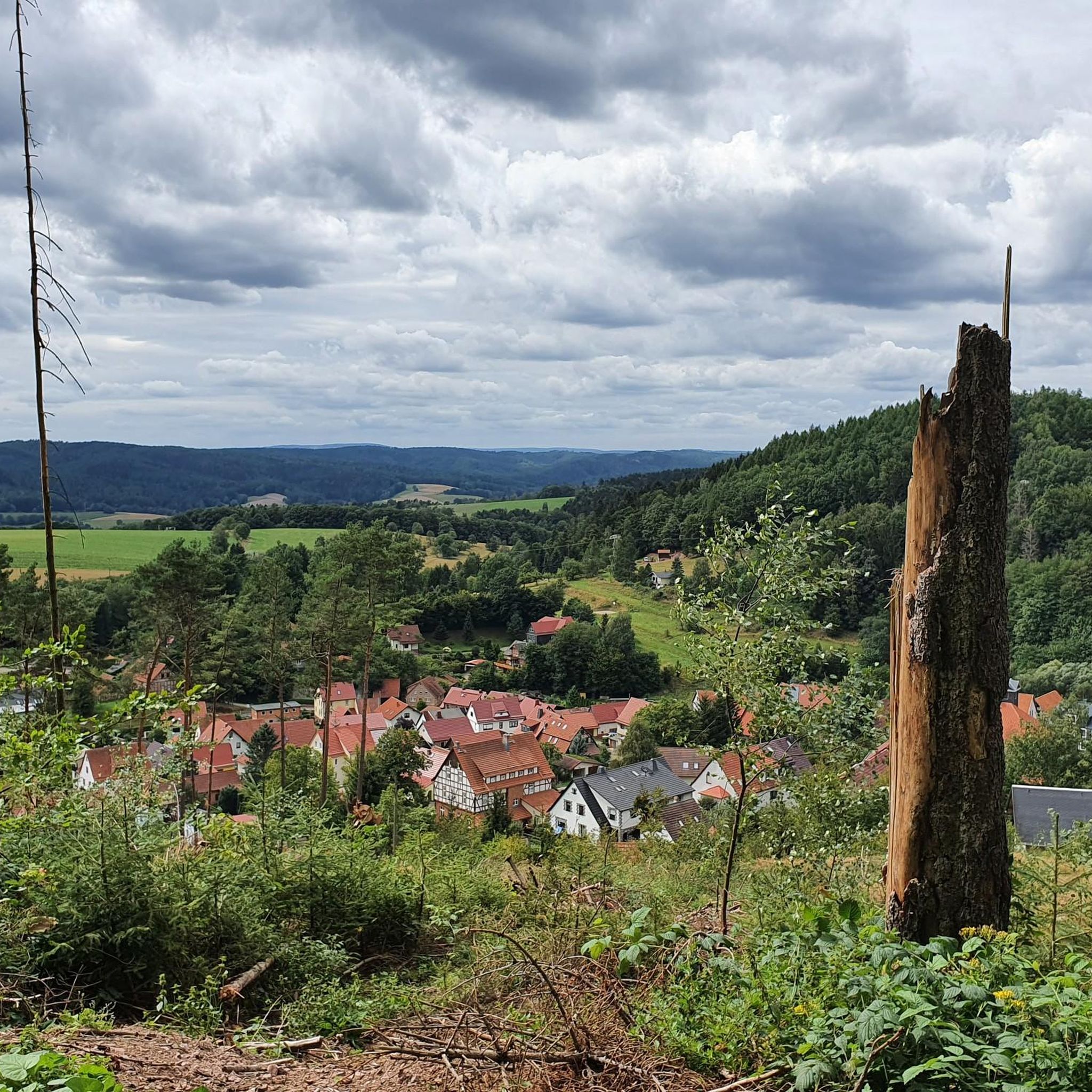
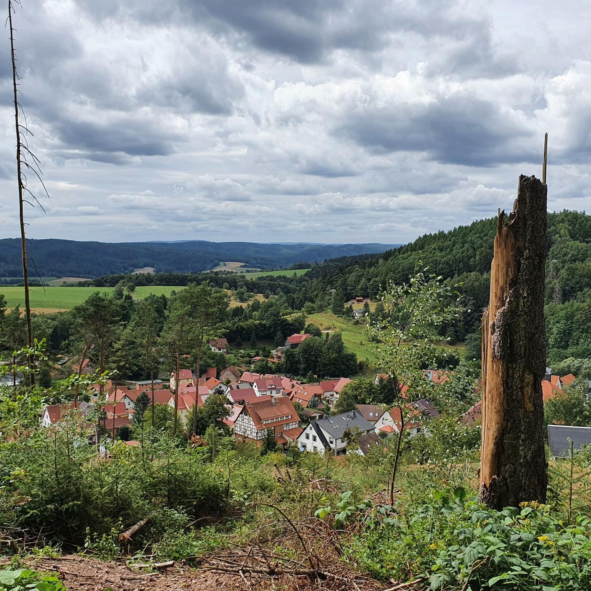
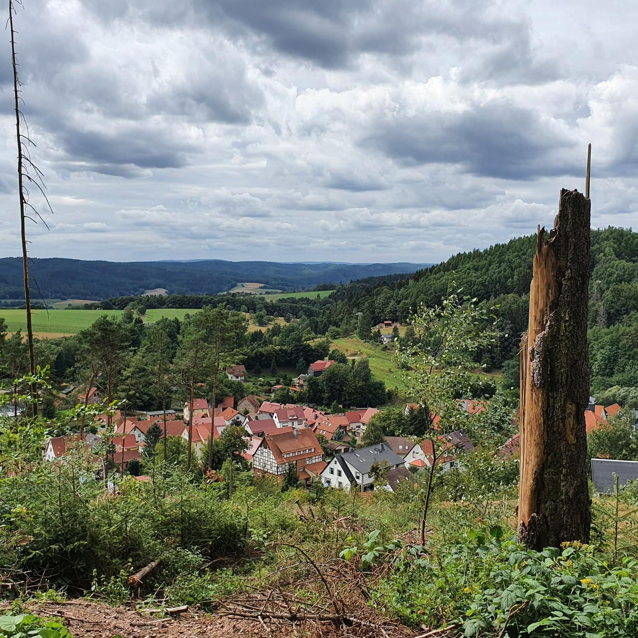
Jogging around Altersbach offers diverse landscapes, from gentle river valleys to rolling countryside. The region is characterized by its proximity to the Vils and Danube rivers, providing mostly flat paths ideal for running. Scenic views extend across scattered hamlets and farms, reaching towards the Bavarian Forest on clear days. While many routes are paved, some sections may include unpaved paths, adding variety to the running experience.
Best jogging routes around Altersbach
- The most popular jogging route is Running loop from…
Last updated: August 11, 2026
4.0
(1)
14
runners
5.33km
00:39
130m
130m
Moderate run. Good fitness required. Mostly paved surfaces. Suitable for all skill levels.
4
runners
8.09km
01:00
230m
230m
Moderate run. Good fitness required. Mostly paved surfaces. Suitable for all skill levels.

Sign up for free
6
runners
18.0km
02:04
400m
400m
Hard run. Very good fitness required. Mostly paved surfaces. Suitable for all skill levels.
6
runners
15.9km
01:55
460m
460m
Hard run. Very good fitness required. Sure-footedness, sturdy shoes and alpine experience required.
6
runners
7.67km
00:50
160m
160m
Moderate run. Good fitness required. Mostly paved surfaces. Suitable for all skill levels.
Get access to more routes and recommendations from other explorers.
Sign up for free
Already have an account?
Our route recommendations are based on thousands of hikes, rides, and runs completed by other people on komoot.
Start today with a free account
Your next adventure awaits.
Login or Signup


Tips from the Community

Ideal for a short break or when the nice weather takes a short break
0
0


A quaint little shelter. Here you can take shelter from bad weather and enjoy the beautiful view.
0
0
Unfortunately, the hut has now closed - hard to believe, given its convenient location.
0
0

Sometimes you just don't need shelter and you just walk past. But it's good that these huts exist. That's important.
0
0


Beautiful castle ruins with a great view of the city. Please take the main path down, the zigzag trail has been completely destroyed by the forest.
3
0
Frequently Asked Questions
How many running routes are available in Altersbach?
Altersbach offers a wide selection of running routes, with over 260 trails available for you to explore. These routes cater to various fitness levels, from easy riverside paths to more challenging runs with significant elevation changes.
What kind of terrain can I expect on running trails in Altersbach?
The running trails in Altersbach feature diverse terrain. You'll find many routes along the serene Vils and Danube river valleys, which are generally flat and ideal for relaxed runs. The charming countryside around Sulzbachtal offers rolling landscapes with magnificent views, sometimes extending to the Bavarian Forest. While many paths are paved, some routes may include unpaved sections, adding variety to your running experience.
Are there running routes suitable for beginners or more advanced runners?
Yes, Altersbach provides options for all abilities. There are approximately 25 easy routes perfect for beginners or a leisurely jog. For those seeking a moderate challenge, over 160 routes are available. Experienced runners can tackle nearly 80 difficult trails, such as the Rupprasen Meadow – Braukopf Shelter loop from Steinbach-Hallenberg, which features varied terrain and significant ascents.
What do other runners say about the trails in Altersbach?
The running routes in Altersbach are highly regarded by the komoot community, boasting an average rating of 4.6 stars from over 190 reviews. More than 2000 runners have used komoot to discover the area's varied terrain, often praising the scenic beauty and well-maintained paths.
Are there any scenic viewpoints or natural landmarks along the running routes?
Absolutely! Many routes offer picturesque views of the charming countryside and, on clear days, extend as far as the Bavarian Forest. You can also discover several natural highlights, including the beautiful Ebertswiese Mountain Meadow and the impressive Spitterfall waterfall. The Vils Valley Cycle Route, which passes through the region, is dotted with charming castles and Baroque church buildings.
Can I find circular running routes in Altersbach?
Yes, many of the running routes in Altersbach are designed as circular loops, allowing you to start and finish at the same point. Examples include the popular Running loop from Steinbach-Hallenberg and the more challenging Hermannsberg Summit – View of Hoher Stein loop from Steinbach-Hallenberg.
Are there any dog-friendly running trails in Altersbach?
While specific dog-friendly designations vary, many of Altersbach's natural trails through woodlands and along riverbanks are suitable for running with dogs, provided they are kept on a leash and local regulations are followed. The diverse landscapes offer plenty of space for you and your canine companion to enjoy.
Are there family-friendly running options in Altersbach?
For families, the flatter sections along the Vils and Danube rivers, such as parts of the Vils Valley Cycle Route, are excellent choices. These paths are generally well-maintained and offer a relaxed environment for a family run or walk, often passing by charming villages and historical landmarks.
Where can I park when visiting running trails in Altersbach?
Parking availability varies by trailhead. Many villages and towns in the Altersbach region, including Steinbach-Hallenberg and Rotterode, offer public parking facilities that can serve as convenient starting points for your run. It's advisable to check specific route details on komoot for parking recommendations near your chosen trail.
Is public transport available to access the running routes?
Public transport options exist within the broader Bavaria region, connecting various towns and villages. Depending on your chosen starting point, local bus services may provide access to areas near running trails. For specific route access, checking local transport schedules for Altersbach and surrounding communities is recommended.
Are there any routes that pass by lakes or reservoirs?
Yes, the region around Altersbach features several beautiful water bodies. You can find highlights like the Tambach-Dietharz Reservoir Inflow, the scenic Ebertswiese Mountain Lake, and the Schmalwasser Dam, which can be incorporated into longer running tours or visited as points of interest.
What is the best time of year for jogging in Altersbach?
Altersbach is enjoyable for jogging throughout much of the year. Spring and autumn offer pleasant temperatures and vibrant scenery. Summer provides longer daylight hours, though it can be warmer. On clear days, especially in autumn, the views extending to the Bavarian Forest are particularly magnificent. Winter jogging is also possible, with some routes offering a serene, snow-covered landscape.
Most popular routes around Altersbach
Most popular attractions around Altersbach

Get inspired with the komoot mobile app


Explore more
Browse the best Running Trails & Routes in other regions.
