The best mountain hikes around Suhl
10
hikers
6
hikes
Mountaineering routes around Suhl are situated within the Thuringian Forest, a region characterized by dense woodlands, rolling hills, and numerous peaks. The landscape features prominent elevations such as Großer Beerberg, Thuringia's highest peak at 982 meters, and the Schneekopf. This area offers a network of challenging mountain paths and demanding ascents suitable for various skill levels.
Best mountaineering routes around Suhl
- The most popular mountaineering route is Highest Point of the Rennsteig – Schmücke Lodge and Beer Garden loop from…
Last updated: June 24, 2026
3
hikers
Moderate mountaineering route. Good fitness required. Mostly accessible paths. Sure-footedness required.
4
hikers
7.58km
02:06
130m
130m
Moderate mountaineering route. Good fitness required. Easily-accessible paths. Suitable for all skill levels.

Sign up for free
1
hikers
12.7km
03:59
440m
440m
Hard mountaineering route. Good fitness required. Sure-footedness, sturdy shoes and alpine experience required.
1
hikers
6.89km
01:53
100m
100m
Easy mountaineering route. Great for any fitness level. Easily-accessible paths. Suitable for all skill levels.
1
hikers
16.2km
04:48
480m
480m
Moderate mountaineering route. Good fitness required. Easily-accessible paths. Suitable for all skill levels.
Easy mountaineering route. Great for any fitness level. Easily-accessible paths. Suitable for all skill levels.
Our route recommendations are based on thousands of hikes, rides, and runs completed by other people on komoot.
Start today with a free account
Your next adventure awaits.
Login or Signup
Popular around Suhl

Forest, vastness and water – day trips in the Thuringian Forest

Long distance hiking trails in the Thuringian Forest
Germany Crossing: In eight days from Trier to Görlitz
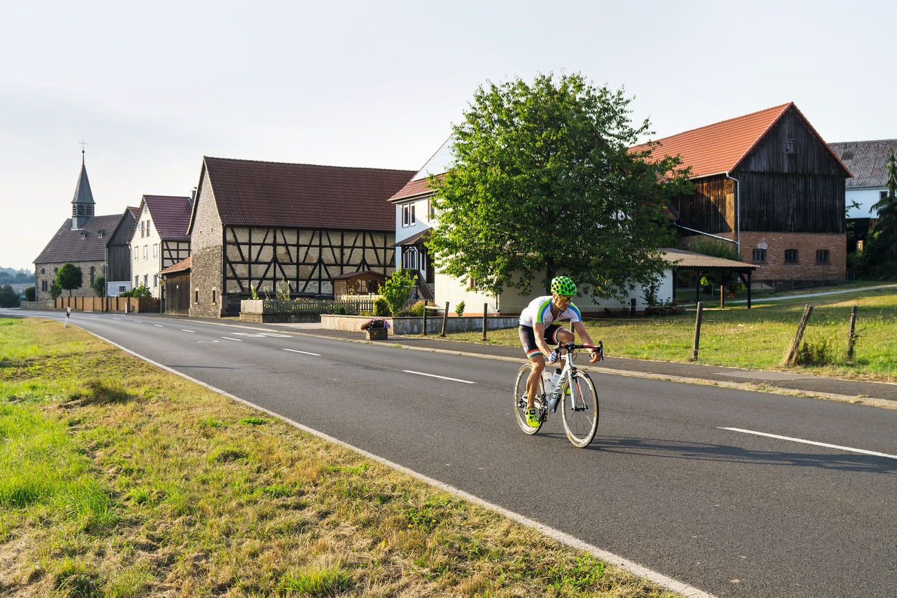
From Rennsteig to Unstrut - the Gera cycle path in 2 stages
Hiking around Suhl
Running Trails around Suhl
Cycling around Suhl
MTB Trails around Suhl
Road Cycling Routes around Suhl

Gravel biking around Suhl
Other adventures around Suhl


Tips from the Community


Beautiful hike with a worthwhile destination
0
0

It's a great place for hiking.
0
0

Wooden shelter with seating directly on the Rennsteig, as well as a stamping point.
6
0
Former Imperial Post Office with beautiful half-timbered architecture, built in 1889/90, today a pharmacy and residential building.
8
1

The Neue Gehlberger Hütte is located on the 978-meter-high Schneekopf mountain and is the highest-altitude serviced hut in Thuringia. It offers a cozy hiking hostel with shared rooms and a restaurant serving traditional Thuringian cuisine. Opening Hours: The restaurant is open daily from 10 a.m. to 5 p.m. – longer in summer. Breakfast for guests is served from 8 a.m. to 10 a.m.
2
0

Another vantage point with views over the Thuringian Forest. The Kaltenbrunner Stein is somewhat hidden off the trail.
0
0
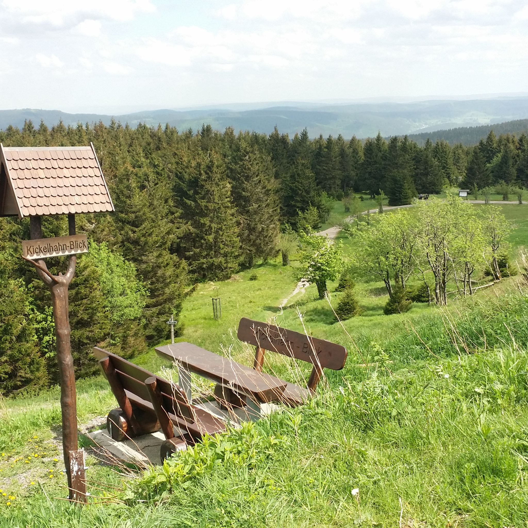
Even if the ascent is not possible in winter, the view from below also offers a good outlook and comfortable benches for a break
1
0
Frequently Asked Questions
What kind of terrain can I expect on mountaineering routes around Suhl?
Mountaineering routes around Suhl are primarily situated within the Thuringian Forest, characterized by dense woodlands, rolling hills, and numerous peaks. You'll encounter challenging mountain paths and demanding ascents, with prominent elevations like Großer Beerberg, Thuringia's highest peak, and the Schneekopf.
Are there any easy mountaineering routes suitable for beginners in Suhl?
Yes, there are easy routes available. For instance, the Oberhof – Oberhof Winter Sports Center loop from Oberhof is a 4.2-mile (6.7 km) trail that takes about 1 hour 50 minutes, offering a gentler introduction to the region's mountain paths. Another easy option is the Axel Shelter on the Rennsteig – Grenzadler Shelter loop from Schützenbergmoor, covering 3.6 miles (5.8 km).
Which routes offer the most challenging mountaineering experiences near Suhl?
For a more demanding experience, consider the Kaltenbrunner Stein Viewpoint – Burnt Rock loop from Zella-Mehlis. This difficult 7.9-mile (12.7 km) path features significant elevation gain and leads to a rewarding viewpoint.
Are there circular mountaineering routes available around Suhl?
Many routes in the Suhl area are designed as loops, allowing you to start and end at the same point. Examples include the popular Highest Point of the Rennsteig – Schmücke Lodge and Beer Garden loop from Kernzone Schneekopfmoor, and the Hohe Möst Viewpoint – Hohes Moos Viewpoint loop from Schützenbergmoor.
What are some notable viewpoints or landmarks I can see along the mountaineering routes?
The region boasts several impressive viewpoints and landmarks. You can visit the Highest Point of the Rennsteig, or enjoy panoramic vistas from Plänckner's viewpoint on Großer Beerberg. The Schneekopf mountain also features a lookout tower, offering the highest viewing point in all of Thuringia at 1001.1 meters.
Can I find long-distance mountaineering options or trails that connect to larger networks?
Yes, the historic Rennsteig Trail, considered Germany's oldest long-distance hiking trail, passes near Suhl. Sections of this trail are integrated into local mountaineering routes, such as the Highest Point of the Rennsteig – Schmücke Lodge and Beer Garden loop, offering a taste of this extensive network.
What is the best time of year for mountaineering in Suhl?
The Thuringian Forest offers beautiful scenery year-round. While spring and autumn provide vibrant colors and pleasant temperatures for hiking, summer is ideal for longer days on the trails. During colder months, Suhl also transforms into a destination for winter sports, including cross-country skiing, so some routes may be suitable for winter mountaineering depending on conditions.
Are there any family-friendly mountaineering routes around Suhl?
While many routes involve challenging ascents, some of the easier and moderate trails can be suitable for families with older children or those accustomed to hiking. The Oberhof – Oberhof Winter Sports Center loop is an easy option that might be suitable for families looking for a shorter mountain experience.
Where can I find places to eat or stay near the mountaineering routes?
The region around Suhl offers various options for refreshments and accommodation. The Suhler Hut can serve as a refuge and starting point for exploring the highest point of the Rennsteig, often providing basic amenities. Towns like Oberhof and Zella-Mehlis, which are starting points for several routes, also offer cafes, pubs, and accommodation.
Are there any lakes or water features to see along the mountaineering routes?
Yes, the area features several small lakes and ponds. You might encounter highlights such as Ten Ponds, Dreisbachteich, or the Trout Pond on the I-Linie, which can add a refreshing element to your mountain hike.
What is the general difficulty level of mountaineering routes in Suhl?
The mountaineering routes around Suhl cater to a range of abilities. Out of the 8 available routes, 2 are considered easy, 5 are moderate, and 1 is difficult. This variety ensures options for both casual hikers and those seeking a more strenuous mountain challenge.
Most popular routes around Suhl
Most popular attractions around Suhl

Get inspired with the komoot mobile app


Explore more
Browse the best Mountain Hikes & Routes in other regions.
