The best running trails around Krauthausen
4.5
(149)
1,433
runners
12
runs
Jogging around Krauthausen offers diverse landscapes, from the green hills surrounding the village to paths along the Werra river. The region is situated at the foot of the Thuringian Forest, providing varied terrain for running. Runners can explore routes through valleys and past historical sites, with elevations ranging from gentle riverside paths to more challenging climbs. This area is characterized by its mix of natural features and cultural landmarks, making it suitable for different running preferences.
Best jogging routes around…
Last updated: October 4, 2026
4.5
(4)
34
runners
Moderate run. Good fitness required. Mostly paved surfaces. Suitable for all skill levels.
18
runners
Moderate run. Good fitness required. Mostly paved surfaces. Suitable for all skill levels.

12
runners
17.0km
01:46
90m
90m
Hard run. Very good fitness required. Mostly paved surfaces. Suitable for all skill levels.
2.0
(4)
6
runners
5.44km
00:35
60m
60m
Moderate run. Good fitness required. Mostly paved surfaces. Suitable for all skill levels.
4.5
(2)
8
runners
Hard run. Very good fitness required. Mostly paved surfaces. Suitable for all skill levels.
Get access to more routes and recommendations from other explorers.
Already have an account?
Our route recommendations are based on thousands of hikes, rides, and runs completed by other people on komoot.
Start today with a free account
Your next adventure awaits.
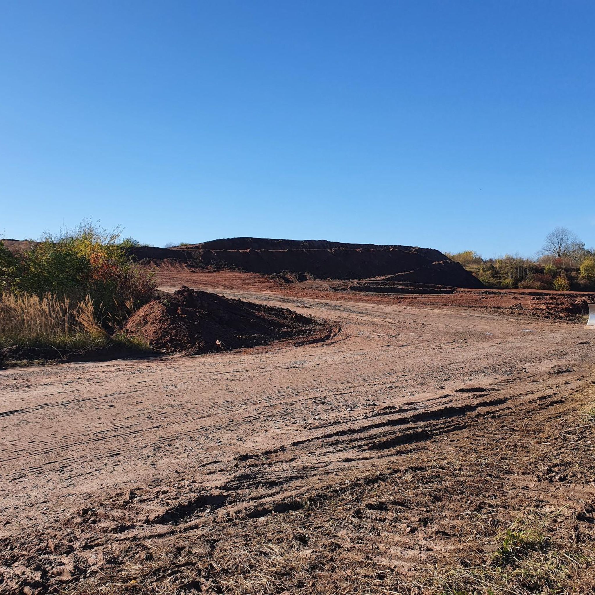
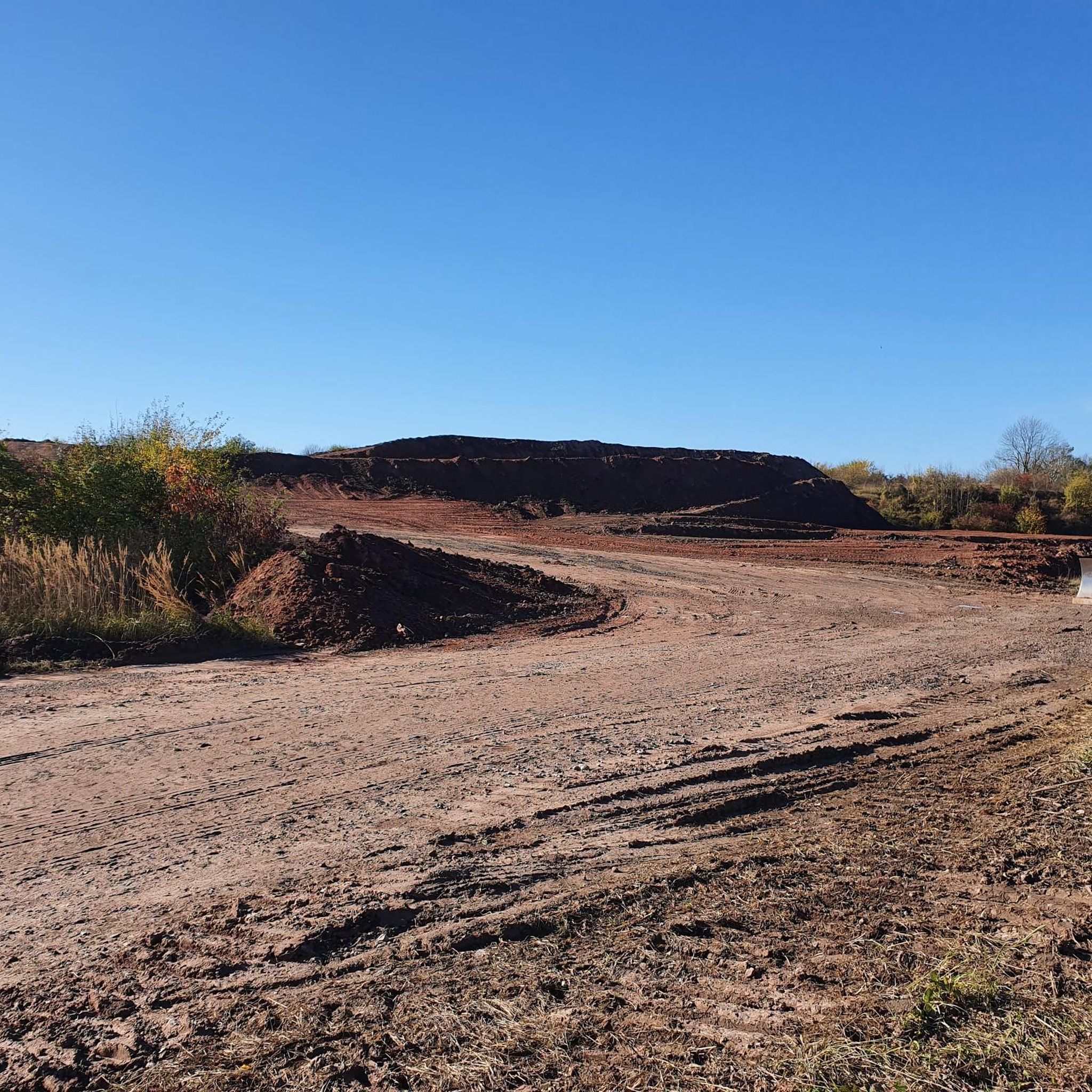
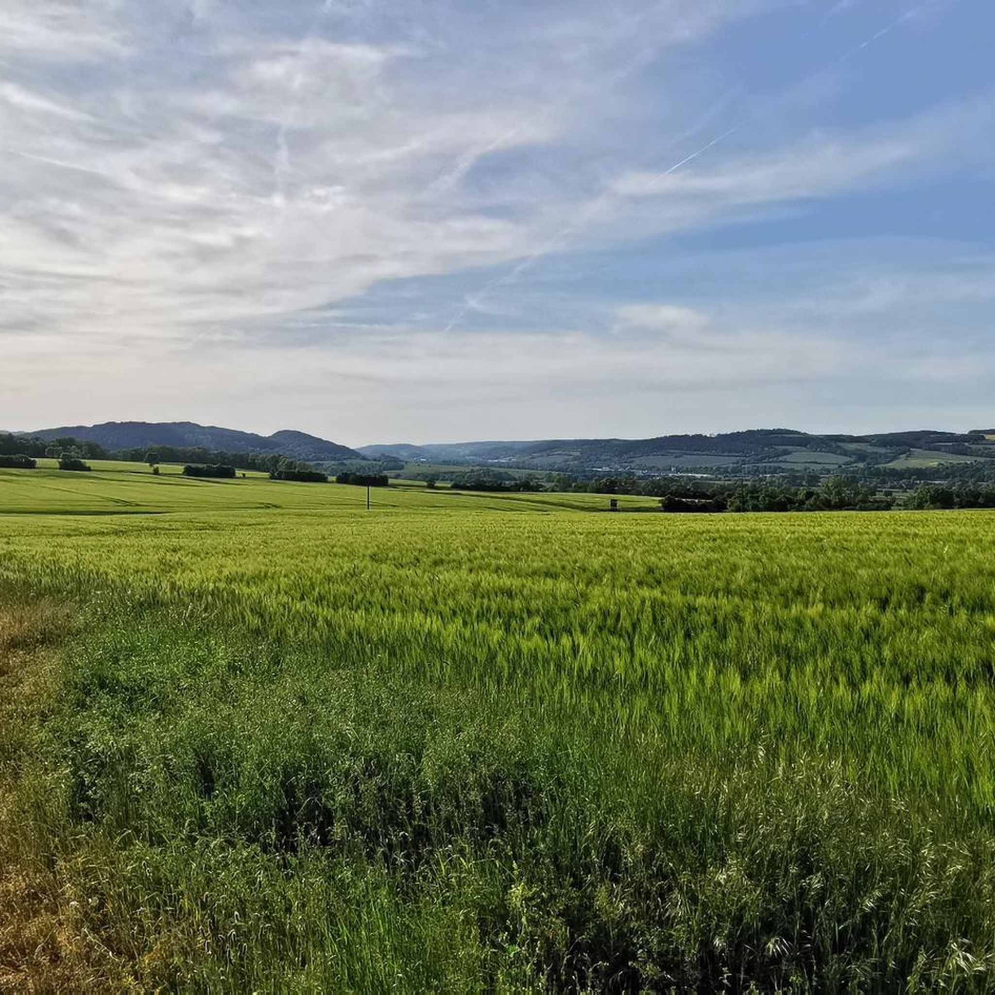
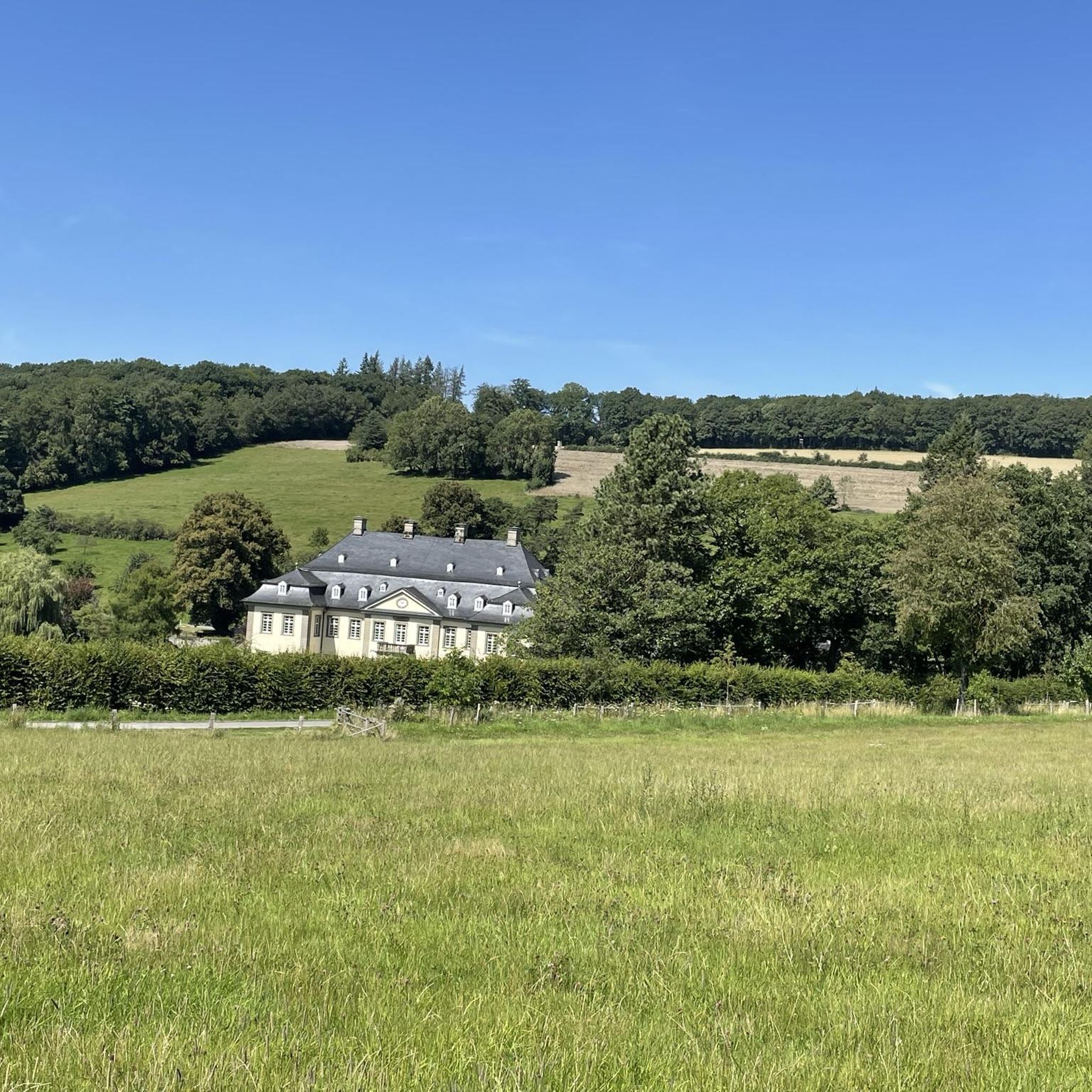
Tips from the Community

The Elisabethpfad 2 from Eisenach to Marburg is 193 km long; the Way of St. James is 178 km due to occasionally deviating routes. The Pilgrim Guide 2: Eisenach Marburg describes the Elisabethpfad from Eisenach to Marburg. At the same time, this pilgrim route closes a gap in the network of the Way of St. James. As a Way of St. James, it offers route variations in some places that are closer to the historically assumed routes of the St. James pilgrims. These are marked with the scallop shell. The Elisabethpfad, on the other hand, is marked with the Elisabethpfad logo. In the forest, the marking is then always reduced to painted yellow arrows. https://www.elisabethpfad.de/aktuell/detail/pilgerfuehrer-2-eisenach-marburg-985
0
0

Very beautiful view of the, I think, Ebenauer Köpfe. There is also an official path leading up to the cliffs and from there you also have a wonderful view. BUT BE CAREFUL: There is nothing fenced off up there. This means if you go too far forward, every step could be your last.
0
0


The morning is better for taking photos, as the restaurant is open in the afternoon.
0
0

Tour section rated as fantastic
0
0

Worth seeing place in the Werra Valley.
0
0

The old Werra Bridge is one of the oldest bridges in Germany, its origins dating back to the 13th century.
16
0
The old Werra Bridge is one of the oldest bridges in Germany, its origins dating back to the 13th century.
14
0
Frequently Asked Questions
How many running routes are available around Krauthausen?
There are over a dozen dedicated running routes around Krauthausen, catering to various fitness levels and preferences. These include paths along the Werra river, through green hills, and into the Thuringian Forest.
What types of terrain can I expect on the jogging trails in Krauthausen?
The jogging trails in Krauthausen offer diverse terrain, from gentle riverside paths along the Werra to more challenging climbs through green hills and forest trails. You'll find a mix of flat sections and routes with significant elevation gain, especially closer to the Thuringian Forest.
Are there any easy or beginner-friendly running routes in Krauthausen?
Yes, Krauthausen offers easy running options suitable for beginners. For instance, the Werraradweg near Spichra – Stiftsgut Wilhelmsglücksbrunn loop from Spichra is an easy 4.3 km route with minimal elevation, perfect for a relaxed run.
Can I find routes with good views or landmarks in Krauthausen?
Absolutely! Many routes offer scenic views and pass by interesting landmarks. For example, the difficult View of Creuzburg Castle – Stiftsgut Wilhelmsglücksbrunn loop from Krauthausen provides fantastic vistas towards Creuzburg Castle. You can also explore highlights like the Wisch Viewpoint or the Mosbacher Lime Tree along various paths.
Are there any circular running routes available in the Krauthausen area?
Yes, many of the running paths around Krauthausen are designed as loops. A popular moderate option is the Running loop from Krauthausen, which covers about 5.5 km. Longer loops like the Stiftsgut Wilhelmsglücksbrunn – Werra Bridge, Creuzburg loop from Spichra are also available for more extensive runs.
What is the best time of year to go running in Krauthausen?
Krauthausen offers a great running experience year-round. However, the region is particularly vibrant in autumn when the foliage displays bright colors, enhancing the jogging experience along river paths and through forests. Spring and summer also provide pleasant conditions with lush greenery.
Are there any running routes that pass by waterfalls or gorges?
While not directly on the main jogging routes, the wider region around Krauthausen features natural attractions like waterfalls and gorges. You can find highlights such as the Fairy grotto or explore the Streams and Waterfalls in the Landgrafen Gorge, which could be combined with a run or visited separately.
What do other runners say about the trails in Krauthausen?
The running routes in Krauthausen are highly rated by the komoot community, with an average score of 4.5 stars from over 130 reviews. Runners often praise the diverse landscapes, the mix of river paths and forest trails, and the well-maintained routes suitable for various abilities.
Are there any family-friendly running options in Krauthausen?
Yes, Krauthausen offers family-friendly options, particularly along the Werra river paths which are generally flatter and less challenging. The region also features routes like the 'Kraut- und Rübenwanderweg' which are known for being suitable for families through fields and orchards.
Are dogs allowed on the running trails in Krauthausen?
Generally, dogs are welcome on most public trails in the Krauthausen area, especially in natural settings like the Thuringian Forest and along river paths. It's always recommended to keep dogs on a leash, especially in nature reserves or near wildlife, and to respect local regulations.
Where can I find parking near the running trails in Krauthausen?
Parking is generally available at common starting points for trails. For example, the Hiking parking lot Creuzburg – Werra Bridge, Creuzburg loop from Spichra route indicates a designated parking area, making it convenient to access the trails.
Are there any cafes or places to rest near the running routes?
While specific cafes directly on every route are not guaranteed, Krauthausen and nearby villages offer amenities. You might find places like the Sängerwiese Forest House which serves as a restaurant, or other local establishments in the village centers to refresh after your run.
Most popular routes around Krauthausen
Most popular attractions around Krauthausen

Get inspired with the komoot mobile app


Explore more
Browse the best Running Trails & Routes in other regions.
