The best mountain hikes around Wutha-Farnroda
4.9
(7)
48
hikers
3
hikes
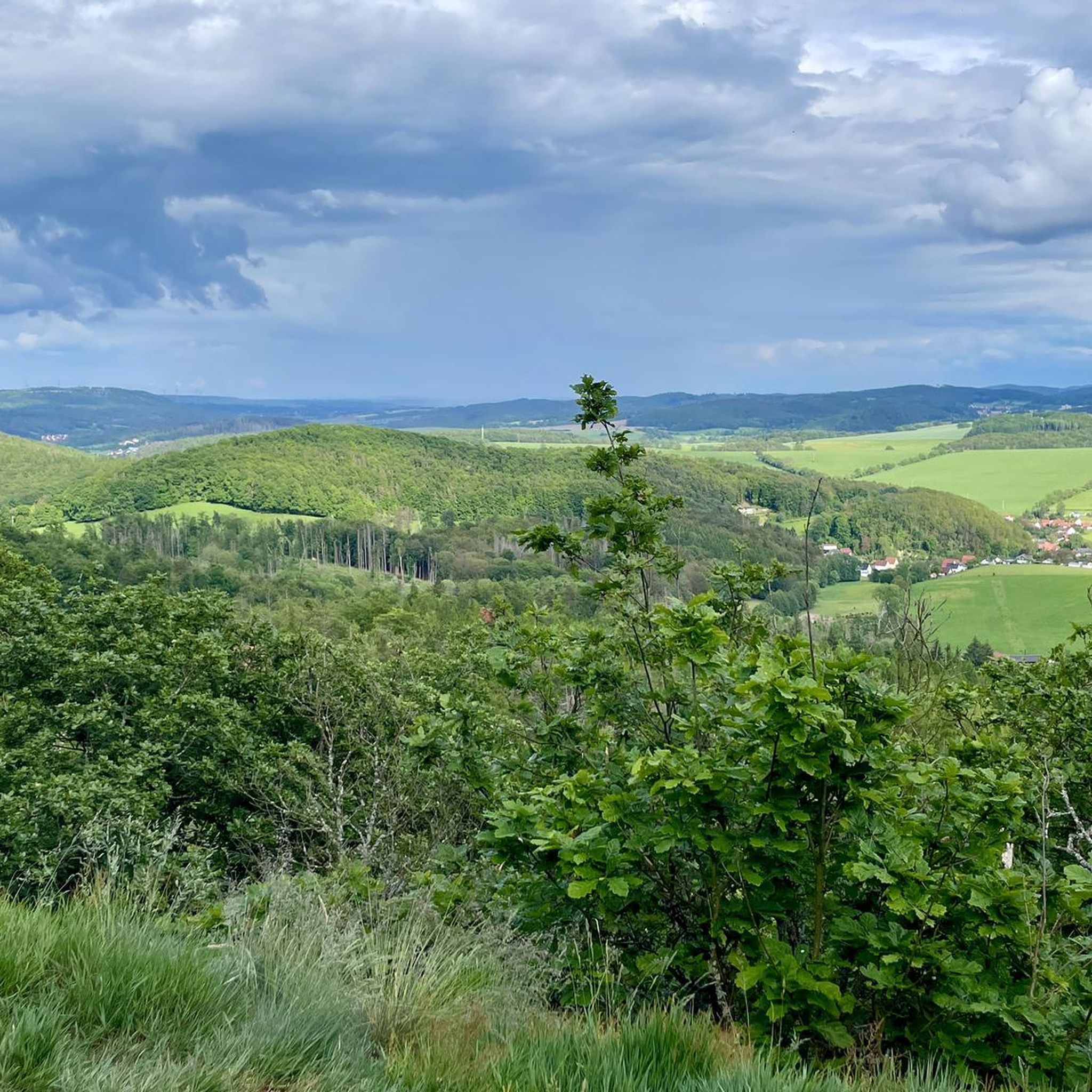
Mountaineering routes around Wutha-Farnroda are situated within the Thuringian Forest and the Hörselberge mountains, offering a landscape characterized by rolling hills and dense woodlands. The region features notable elevations, with peaks such as Hangstein (483.5 m) and Großer Drachenstein (470.5 m) providing significant ascents. These natural features contribute to challenging routes that require good physical condition. The area also includes unique geological formations like the Drachenschlucht (Dragon Gorge), which presents paths through moss-covered rocks and narrow passages.
Best mountaineering routes…
Last updated: October 4, 2026
4.8
(6)
30
hikers
8.59km
02:53
330m
330m
Moderate mountaineering route. Good fitness required. Mostly accessible paths. Sure-footedness required.
11
hikers
6.49km
01:52
160m
160m
Easy mountaineering route. Great for any fitness level. Easily-accessible paths. Suitable for all skill levels.

5.0
(1)
7
hikers
8.87km
02:32
200m
200m
Moderate mountaineering route. Good fitness required. Mostly accessible paths. Sure-footedness required.
Our route recommendations are based on thousands of hikes, rides, and runs completed by other people on komoot.
Start today with a free account
Your next adventure awaits.
Popular around Wutha-Farnroda
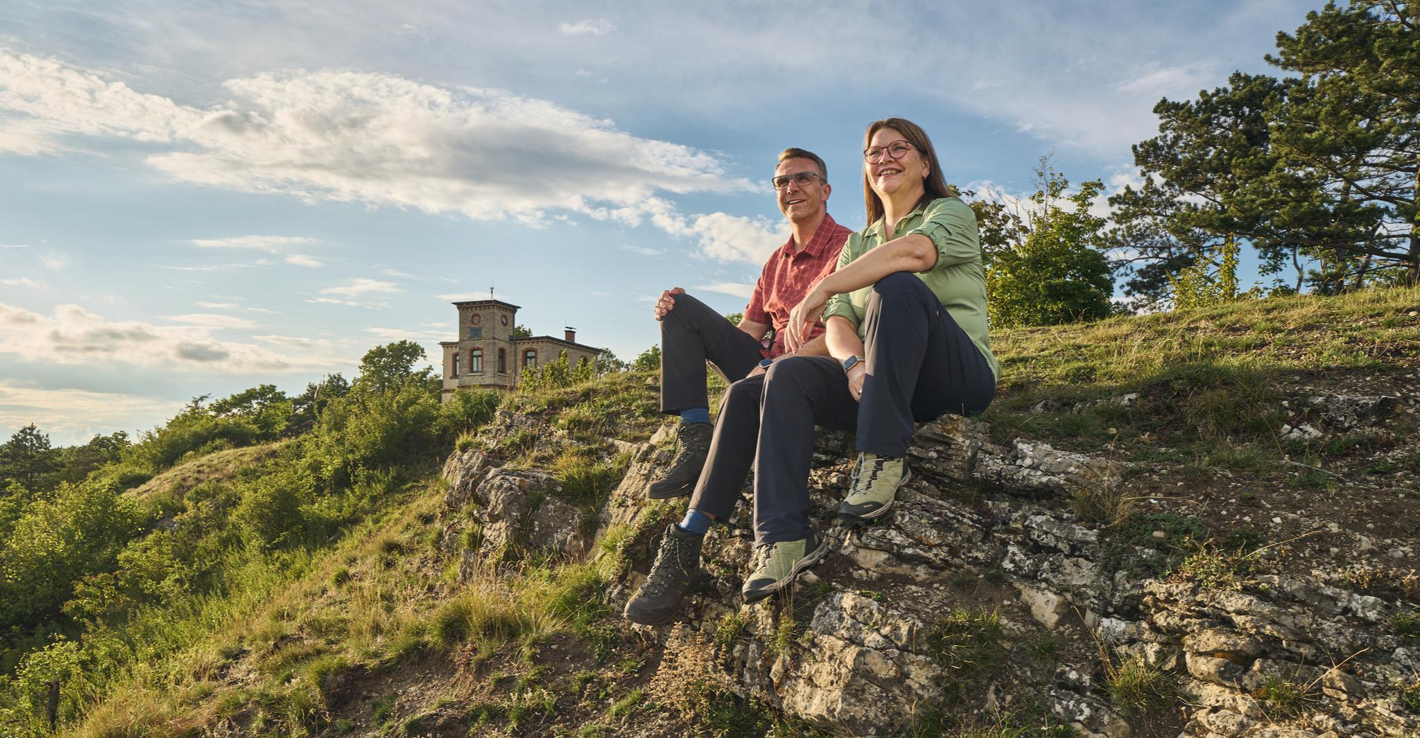
Autumn Hiking with a view – 7 WOW Tours between Wartburg and Hainich
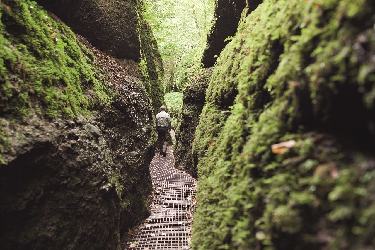
Drachenschlucht and Wartburg – scenic Tours in the Thuringian Forest

#GoFurther – discover the views of Germany!
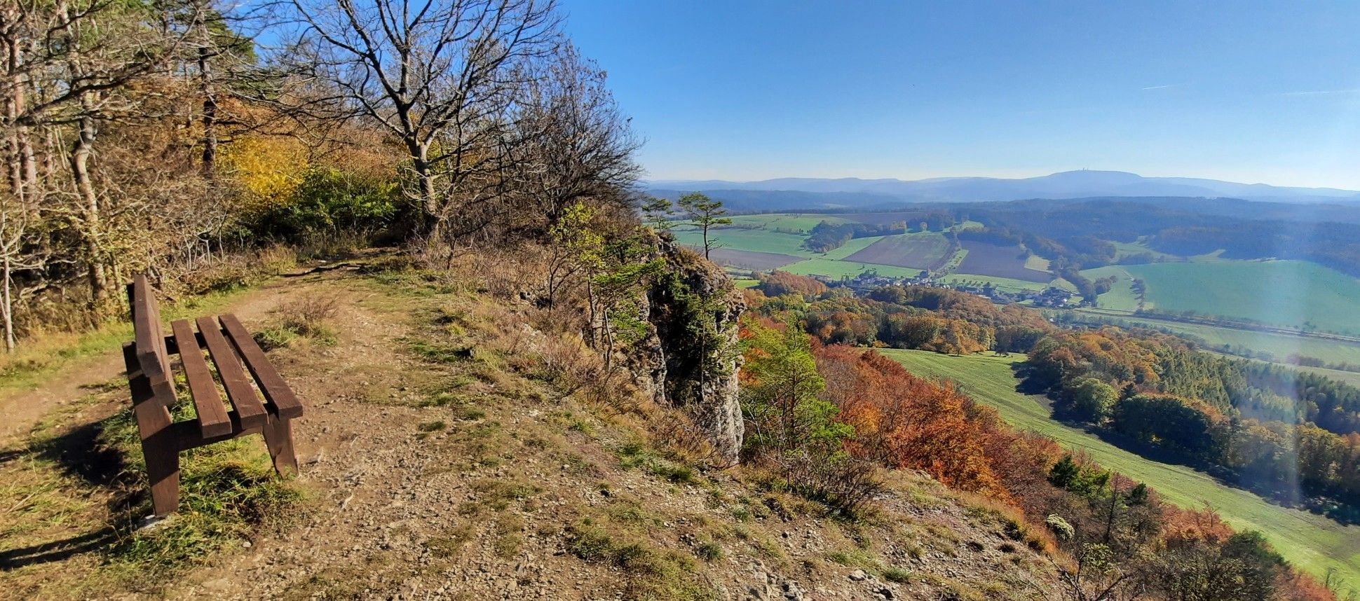
Bike Tours between Hainich and Hörselberg
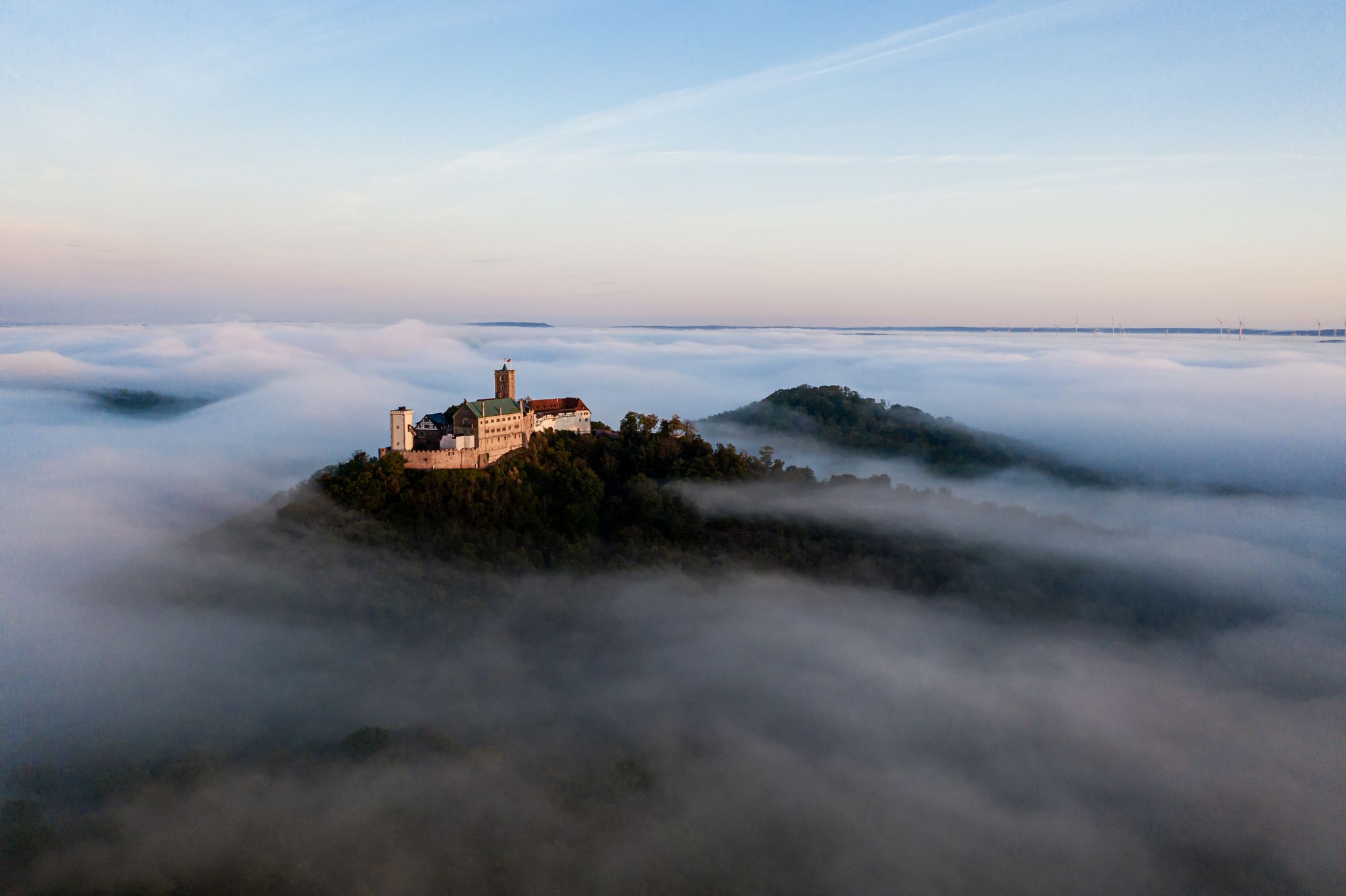
Hike Germany’s green heart
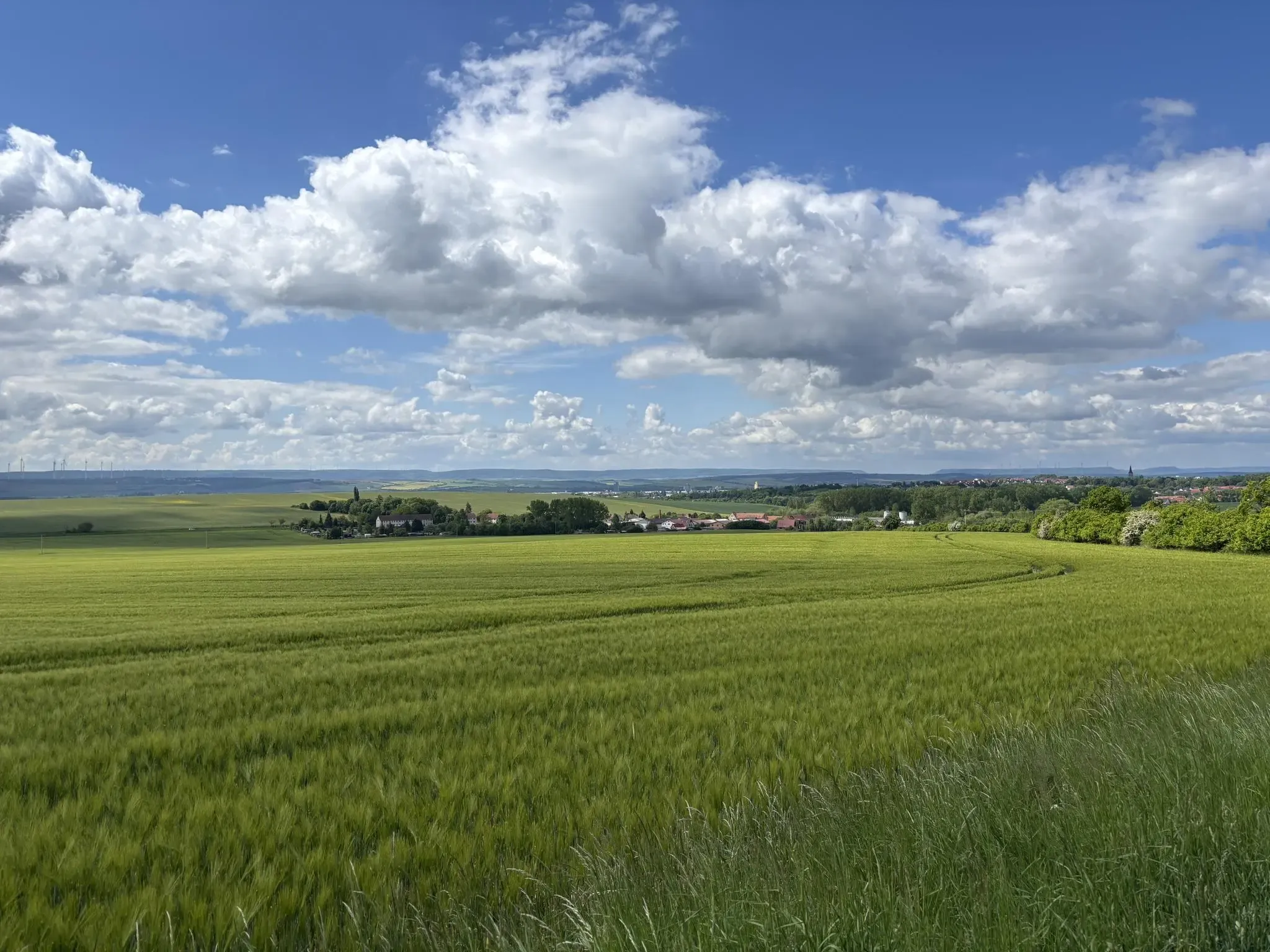
Mindful Hiking 2.1 – Abstand gewinnen
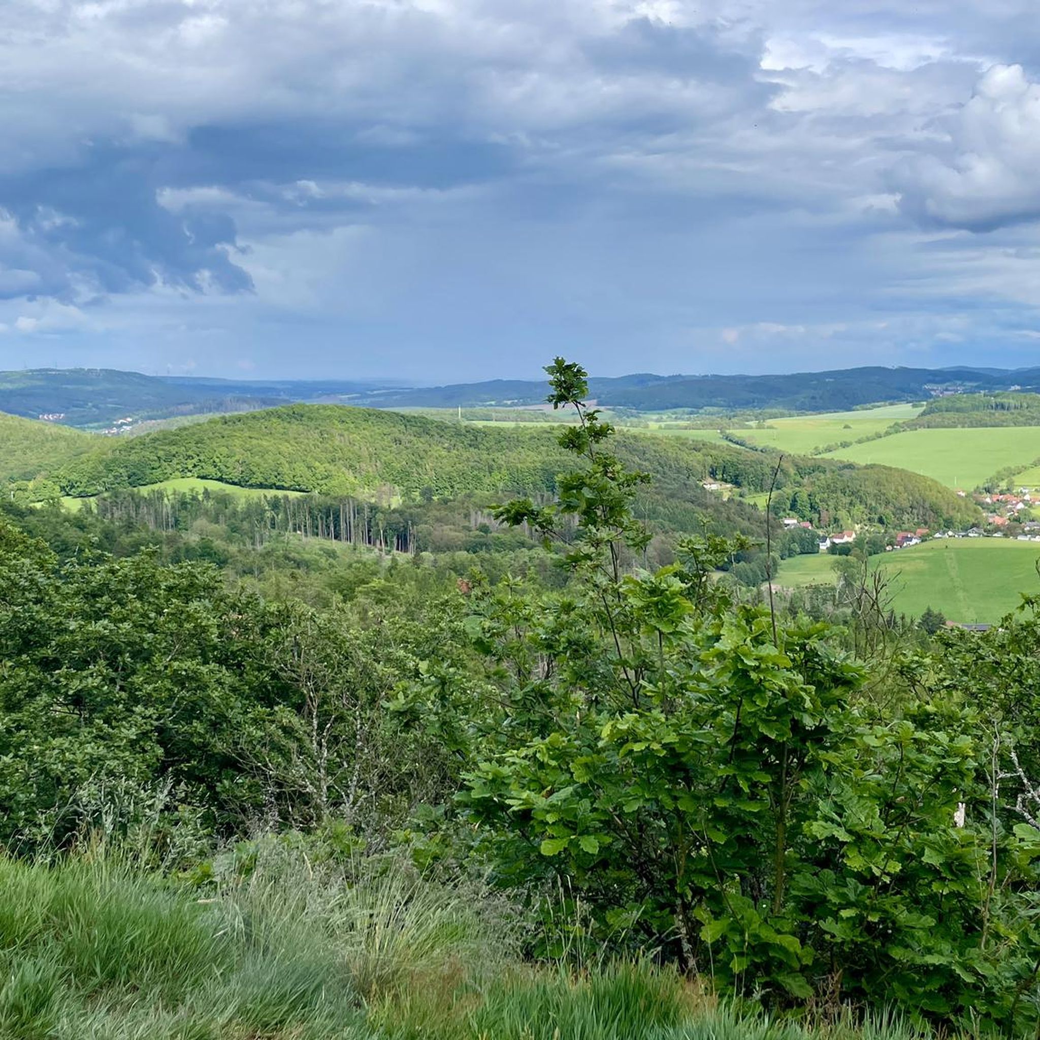
Hiking around Wutha-Farnroda
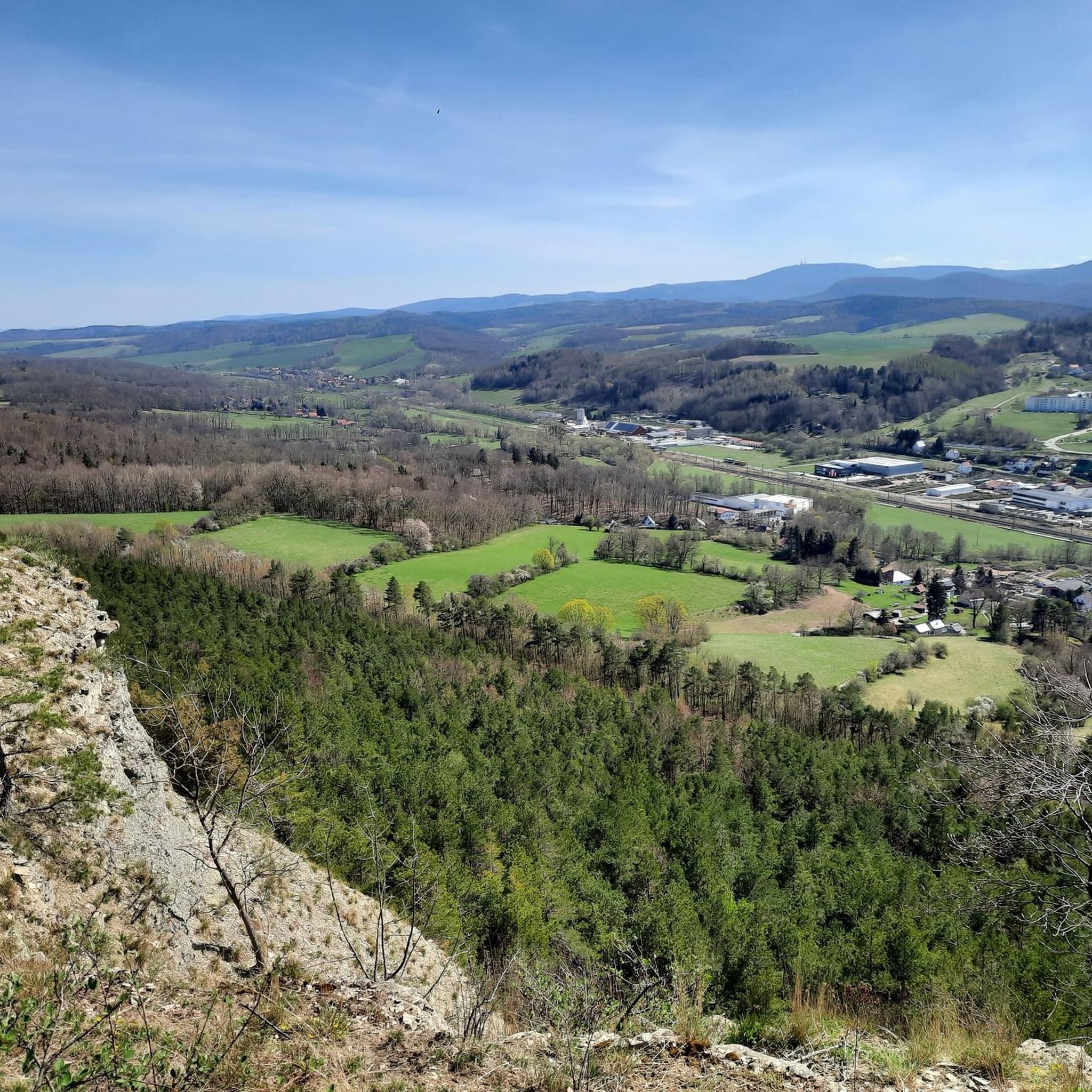
Cycling around Wutha-Farnroda
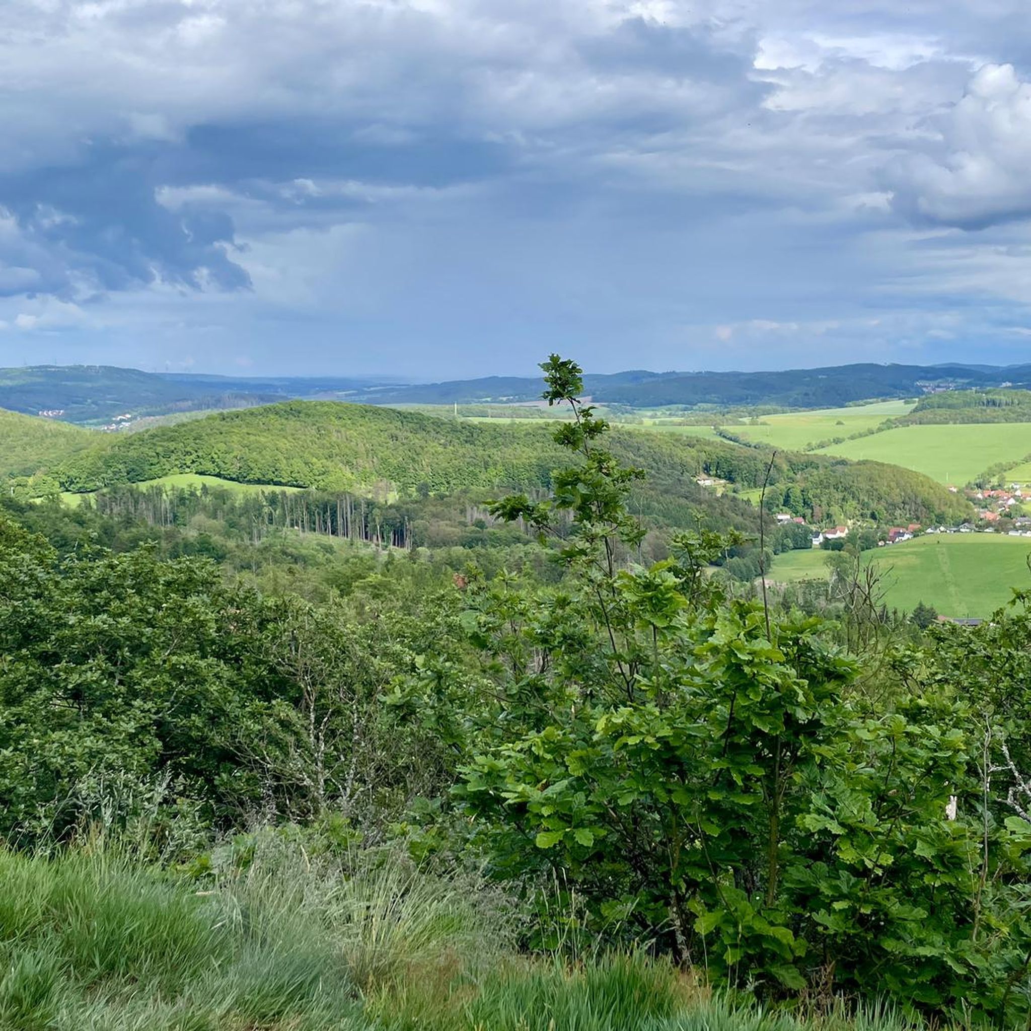
MTB Trails around Wutha-Farnroda
Road Cycling Routes around Wutha-Farnroda
Other adventures around Wutha-Farnroda


Tips from the Community

The climb is worth it…
0
0

Beautiful rest area between Drachenschlucht and Hohe Sonne.
1
0
At the start of the Dragon Gorge
0
0
For the short break
1
1

Unfortunately dry at the moment
10
0

Here you can cool your feet in the water after a hike. There's also a barefoot path on the grounds, and you can also see dinosaurs here...a place to relax and unwind...
3
0
Here starts the beautiful Dragon Gorge
6
0

information board about King Gottlob
2
0
Frequently Asked Questions
How many mountaineering routes are available around Wutha-Farnroda?
There are currently 4 mountaineering routes documented around Wutha-Farnroda on komoot. These routes offer a variety of experiences within the Thuringian Forest and Hörselberge mountains.
Are there easy mountaineering routes suitable for beginners in Wutha-Farnroda?
Yes, there is an easy mountaineering route available. The Backofenloch in the Lauchagrund – Backofenloch Cave loop from Bad Tabarz is a good option for those seeking a less strenuous experience, covering 6.4 km with an elevation gain of about 155 meters.
What makes the mountaineering routes around Wutha-Farnroda challenging?
The routes in Wutha-Farnroda are characterized by significant elevation changes within the Thuringian Forest and Hörselberge mountains. For instance, the Backofenloch Cave – Torstein Rock Arch loop from Bad Tabarz involves an ascent of over 410 meters, requiring good physical condition. The terrain often includes varied paths through dense woodlands and unique geological formations.
What is the best time of year for mountaineering in Wutha-Farnroda?
The region is beautiful year-round. While spring to autumn offers ideal conditions for hiking through the dense forests and experiencing the natural features, the Thuringian Forest also caters to winter sports enthusiasts, suggesting that routes can be enjoyed in colder months, though requiring appropriate gear and caution.
Are there any circular mountaineering routes in the area?
Yes, all the mountaineering routes listed for Wutha-Farnroda are circular loops. This allows you to start and end your adventure at the same point, such as the popular Torstein Rock Arch – Red Tower loop from Bad Tabarz.
Can I expect to see any unique natural features or geological formations on these routes?
Absolutely. The region is known for its striking natural monuments. The Fairy grotto – Dragon Gorge loop from Eisenach, for example, takes you through the famous Drachenschlucht (Dragon Gorge), with paths winding through moss-covered rocks and narrow passages. The Hörselberge mountains also feature fascinating caves like the Venus Grotto and Tannhäuser Cave.
What historical or cultural attractions can I visit near the mountaineering trails?
Wutha-Farnroda and its surroundings offer several notable attractions. You can visit the iconic Wartburg Castle, an 18th-century Wilhelmsthal Castle, or explore the Hörselberg Museum. The historical village center of Farnroda also has its own charm with an old water tower and castle park.
What do other mountaineers enjoy the most about mountaineering in Wutha-Farnroda?
The routes in Wutha-Farnroda are highly rated by the komoot community, with an average score of 4.8 stars. Reviewers often praise the varied terrain, the dense forests, and the unique geological formations like gorges, which make for an adventurous and rewarding experience.
Are there routes that pass by interesting viewpoints?
Yes, the region's prominent peaks like Hangstein and Großer Drachenstein offer significant elevation changes that lead to rewarding vistas. The Rennsteig long-distance hiking trail, which traverses the Thuringian Forest, is particularly known for its breathtaking panoramic views. You might also find the Great Drachenstein Oak and Viewpoint of interest.
Are there any routes that include caves?
Yes, several routes and areas feature caves. The Backofenloch Cave – Torstein Rock Arch loop from Bad Tabarz directly references a cave. Additionally, the Hörselberge mountains are home to the Venus Grotto and Tannhäuser Cave, and a circular hike around Kittelsthal features a dripstone cave.
How long do the mountaineering routes near Wutha-Farnroda typically take to complete?
The duration varies depending on the route and your pace. For example, the Torstein Rock Arch – Red Tower loop from Bad Tabarz typically takes around 2 hours 55 minutes, while the longer Backofenloch Cave – Torstein Rock Arch loop from Bad Tabarz can take approximately 4 hours.
Are there any specific natural reserves or protected areas to be aware of?
The Hörselberge mountains are rich in unique flora and fauna and feature karst phenomena within their nature reserves. While enjoying the trails, it's important to respect these protected areas and stay on marked paths to preserve the natural environment.
Most popular routes around Wutha-Farnroda
Most popular attractions around Wutha-Farnroda

Get inspired with the komoot mobile app


Explore more
Browse the best Mountain Hikes & Routes in other regions.
