The best road cycling routes around Genestelle
4.7
(164)
5,088
riders
94
rides
Road cycling around Genestelle, located in the Basse Cévenne ardéchoise Nord region of France, offers diverse landscapes for cyclists. The area features well-maintained roads that traverse rolling hills, providing both gentle slopes and challenging routes with significant elevation gains towards mountain passes. Genestelle is characterized by a lush green landscape with chestnut groves and ancient terraced fields, alongside rivers such as the Volane, Bise, and Sandron. The region's varied terrain includes scenic valleys and views from cols, making it suitable…
Last updated: July 15, 2026
4.7
(3)
131
riders
51.3km
02:48
900m
900m
Hard road ride. Very good fitness required. Mostly well-paved surfaces and easy to ride.
40
riders
51.2km
02:50
960m
960m
Hard road ride. Very good fitness required. Mostly well-paved surfaces and easy to ride.

Sign up for free
5.0
(1)
42
riders
148km
08:23
3,410m
3,410m
Hard road ride. Very good fitness required. Mostly well-paved surfaces and easy to ride.
19
riders
Hard road ride. Very good fitness required. Mostly well-paved surfaces and easy to ride.
12
riders
50.8km
02:58
1,250m
1,250m
Hard road ride. Very good fitness required. Mostly well-paved surfaces and easy to ride.
Get access to more routes and recommendations from other explorers.
Sign up for free
Already have an account?
Our route recommendations are based on thousands of hikes, rides, and runs completed by other people on komoot.
Start today with a free account
Your next adventure awaits.
Login or Signup
Tips from the Community

Located at an altitude of 1,330 meters, Lachamp-Raphaël is the highest village in the Ardèche. Dominated by the Montivernoux peak, the village offers exceptional panoramic views of the Alps and the Ardèche mountains. https://lachamp-raphael.fr/
0
0

At the end of the stairs there is asphalt again
0
0

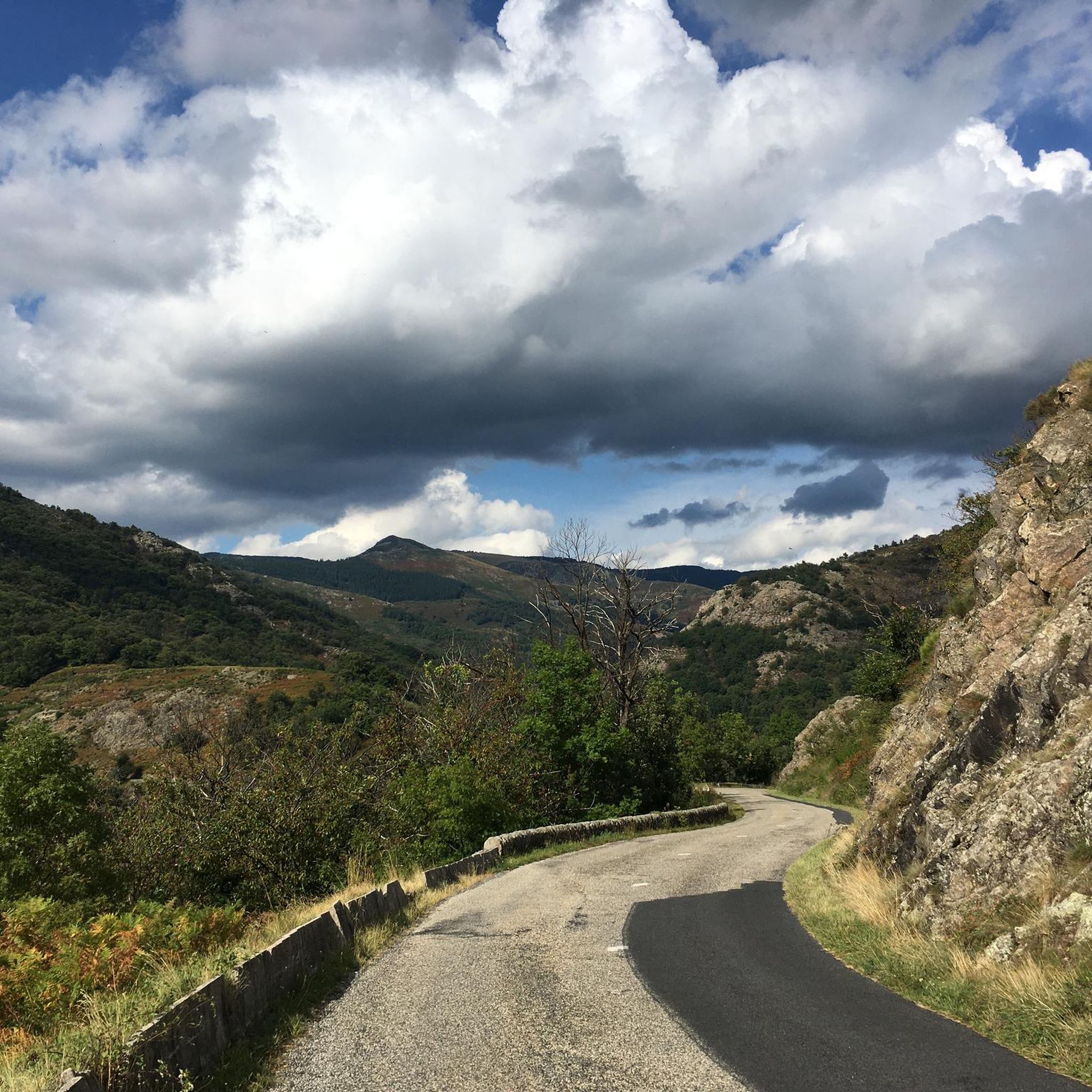
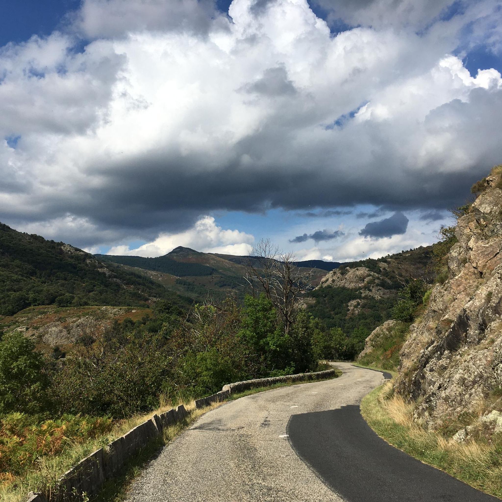
Small street, no traffic
0
0
Anyone who wants to stop for a bite to eat should stop here. There are few alternatives. A Grand Café Creme and a generous sandwich for 8 euros.
1
1

view of the Pierres de Faux pass.
0
0

A pass at an altitude of over 1500 m. It is the highest in Ardèche.
0
0
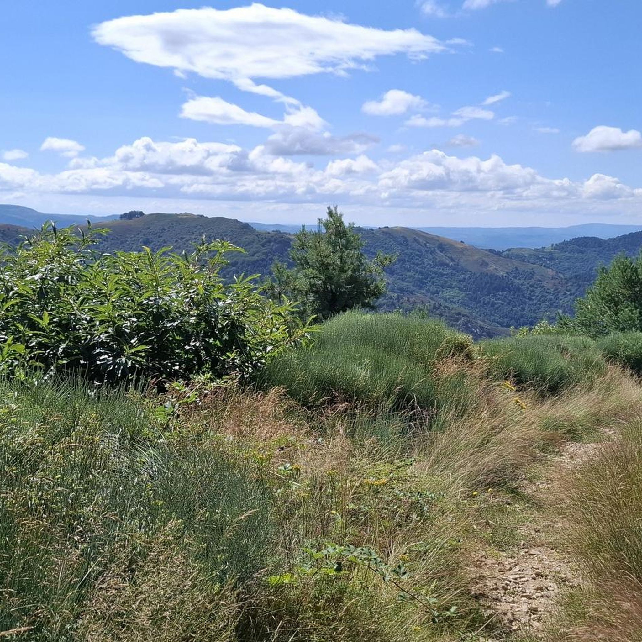
From this pass we see the Privas plain to the north and the Aubenas plain to the south.
0
0
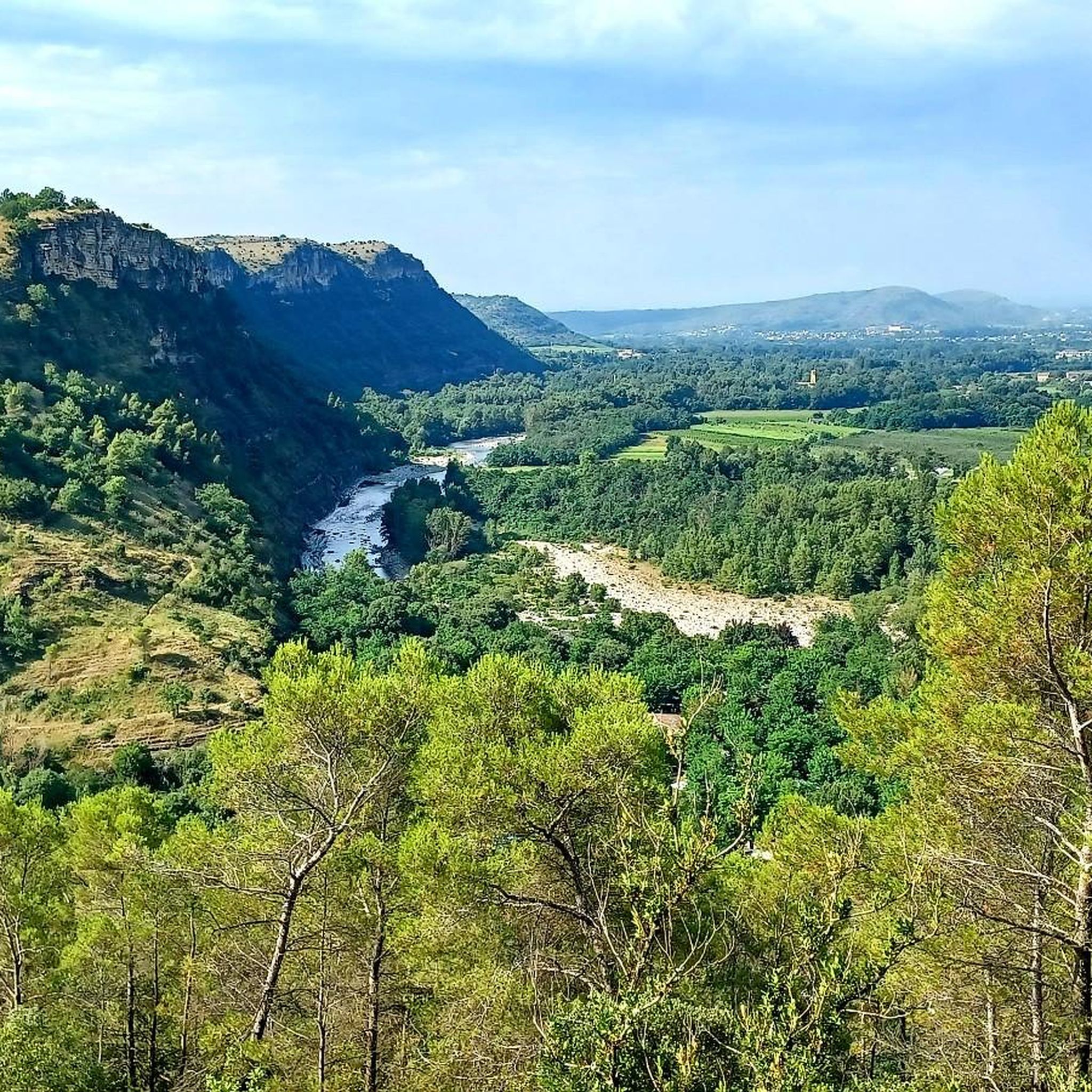
The view is beautiful on either side of the road.
0
0
Frequently Asked Questions
What types of road cycling routes can I find around Genestelle?
Genestelle offers a diverse range of road cycling routes, from gentle slopes through rolling hills to more challenging ascents with significant elevation gains towards mountain passes. You'll find options suitable for various skill levels, including easy, moderate, and difficult routes.
Are there any easy or beginner-friendly road cycling routes in the Genestelle area?
Yes, while many routes feature significant climbs, there are options for beginners. The wider Ardèche region also offers the Via Ardèche greenway, a converted railway line providing easy, flat paths suitable for less strenuous rides and family outings through stunning landscapes of limestone, vineyards, and rivers.
Where can I find challenging road bike climbs near Genestelle?
The region is known for its challenging climbs. For a difficult route with significant elevation, consider the Col de la Fayolle – Col des Pierres de Faux loop from Vallées-d'Antraigues-Asperjoc, which covers nearly 100 km and features almost 2,000 meters of elevation gain through mountainous terrain.
What are some scenic viewpoints or natural attractions along the road cycling routes?
Many routes offer breathtaking views. You can enjoy scenic vistas from the Col de Genestelle over Antraïgues and the valley. The "Neck de Crau," a former volcanic conduit, provides impregnable views over the Upper Ardèche and the Hautes Cévennes. You might also encounter highlights like the View of the Volane Valley or the Ray-Pic Waterfall.
Are there any circular road cycling routes available?
Yes, many of the road cycling routes around Genestelle are designed as loops. For example, the Col d'Aizac – Col de Juvinas, Elev. 718 m loop from Vallées-d'Antraigues-Asperjoc is a moderate 40 km circular path winding through valleys.
What historical or cultural sites can I explore while road cycling in the area?
Beyond natural beauty, the region offers historical points of interest. You might pass by the Castles of Craux, a 15th- to 17th-century castle built on an ancient volcano crater, or the 10th-century Romanesque Église Sainte-Marie in Genestelle itself. The village also features many old stone houses reflecting its rich history.
What do other road cyclists say about the routes around Genestelle?
The road cycling routes in Genestelle are highly regarded by the komoot community, with an average rating of 4.7 stars from over 150 reviews. Cyclists often praise the varied terrain, well-maintained roads, and the stunning natural beauty of the Ardèche landscape.
Are there any specific mountain passes or cols that are popular for road cycling?
Absolutely. The region is dotted with popular cols. The Col de Genestelle (648 m) – Col d'Aizac loop from Vallées-d'Antraigues-Asperjoc is a moderate route that includes two notable passes. Another frequently ridden pass is the Col de Mézilhac (1,119 m), offering a significant climb.
What is the best time of year to go road cycling in Genestelle?
The Ardèche region, including Genestelle, is generally favorable for cycling from spring through autumn. The climate during these seasons provides pleasant temperatures for exploring the rolling hills and mountain passes. It's always advisable to check local weather forecasts before your ride.
Are there any routes that pass through charming villages or offer opportunities for stops?
Many routes wind through the picturesque Ardèche landscape, often passing through charming villages. For instance, the "Antraïgues Road" provides a picturesque ride through various valleys, visiting the charming village of Antraïgues sur Volane. These villages often offer opportunities for breaks and refreshments.
How long do road cycling routes typically take to complete around Genestelle?
The duration varies significantly based on the route's length and difficulty. Moderate routes like the Route de Juvinas – Col de Juvinas, Elev. 718 m loop from Asperjoc, which is about 37 km, can be completed in around 2 hours. More challenging and longer routes, such as the 98 km Col de la Fayolle – Col des Pierres de Faux loop, can take over 5 hours.
Most popular attractions around Genestelle

Get inspired with the komoot mobile app


Explore more
Browse the best Road cycling routes in other regions.
