The best walks and hikes around Lentillères
4.5
(1795)
8,282
hikers
347
hikes
Hiking around Lentillères offers access to the diverse landscapes of the Ardèche region in France. The area is characterized by varied terrains, including the panoramic views of the Monts d'Ardèche and the unique rock formations of the Bois de Païolive. Trails often lead through ancient forests, past natural arches, and alongside river gorges, providing a range of natural features for exploration. This region serves as a base for discovering the characteristic landscapes of southern France.
Best hiking trails around Lentillères
…Last updated: June 29, 2026
4.0
(7)
34
hikers
10.2km
03:23
440m
440m
Moderate hike. Good fitness required. Mostly accessible paths. Sure-footedness required.
4.0
(4)
24
hikers
10.9km
03:20
400m
400m
Moderate hike. Good fitness required. Easily-accessible paths. Suitable for all skill levels.

Sign up for free
4.6
(5)
11
hikers
11.3km
03:30
420m
420m
Moderate hike. Good fitness required. Easily-accessible paths. Suitable for all skill levels.
4.6
(7)
22
hikers
7.98km
02:20
220m
220m
Moderate hike. Good fitness required. Easily-accessible paths. Suitable for all skill levels.
4.5
(4)
20
hikers
19.6km
06:23
850m
850m
Hard hike. Very good fitness required. Mostly accessible paths. Sure-footedness required.
Get access to more routes and recommendations from other explorers.
Sign up for free
Already have an account?
Our route recommendations are based on thousands of hikes, rides, and runs completed by other people on komoot.
Start today with a free account
Your next adventure awaits.
Login or Signup
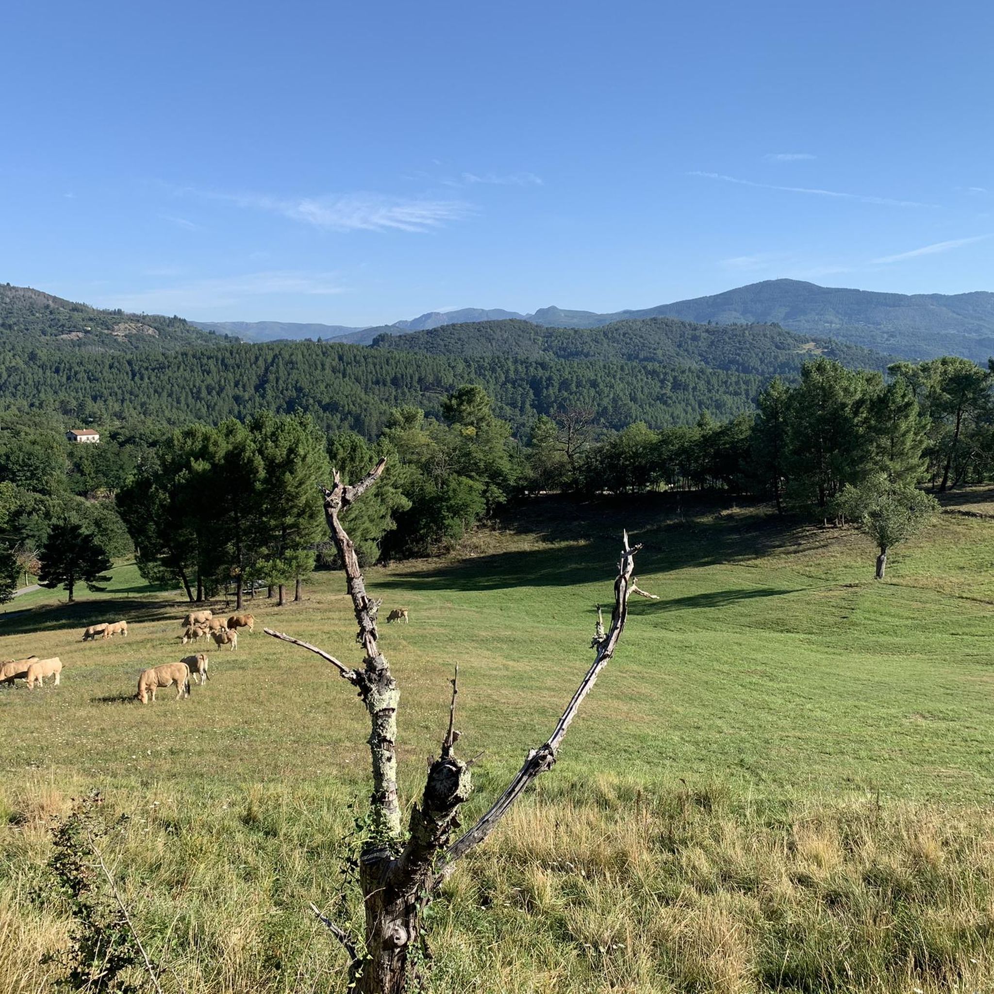
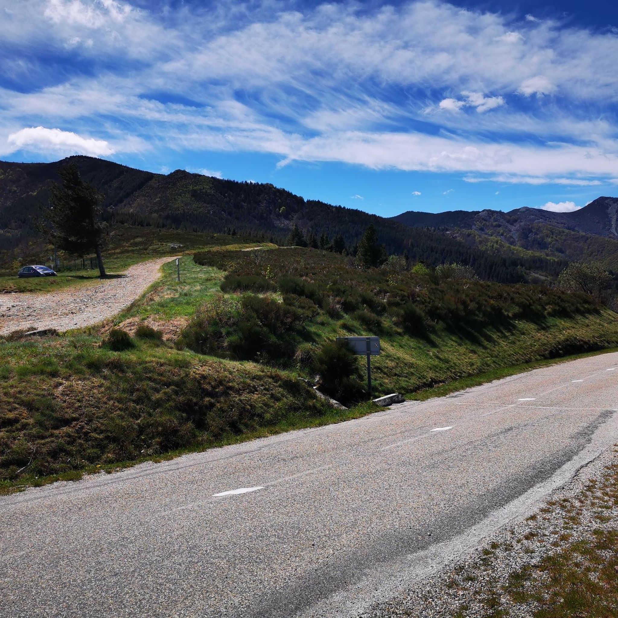
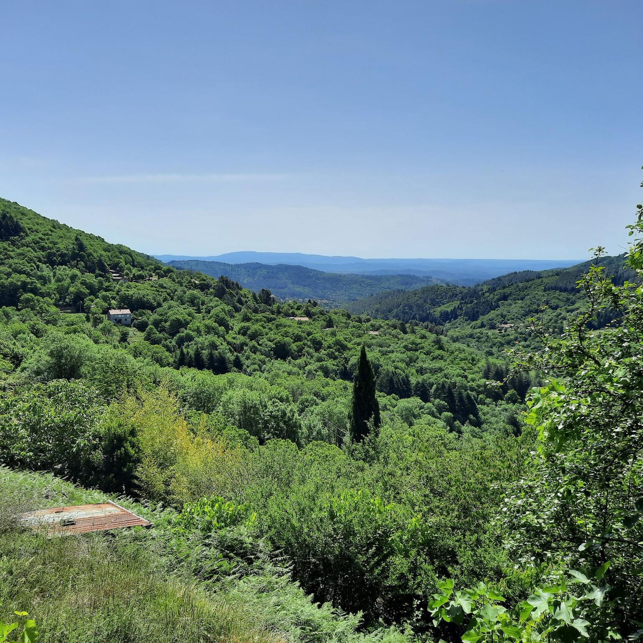
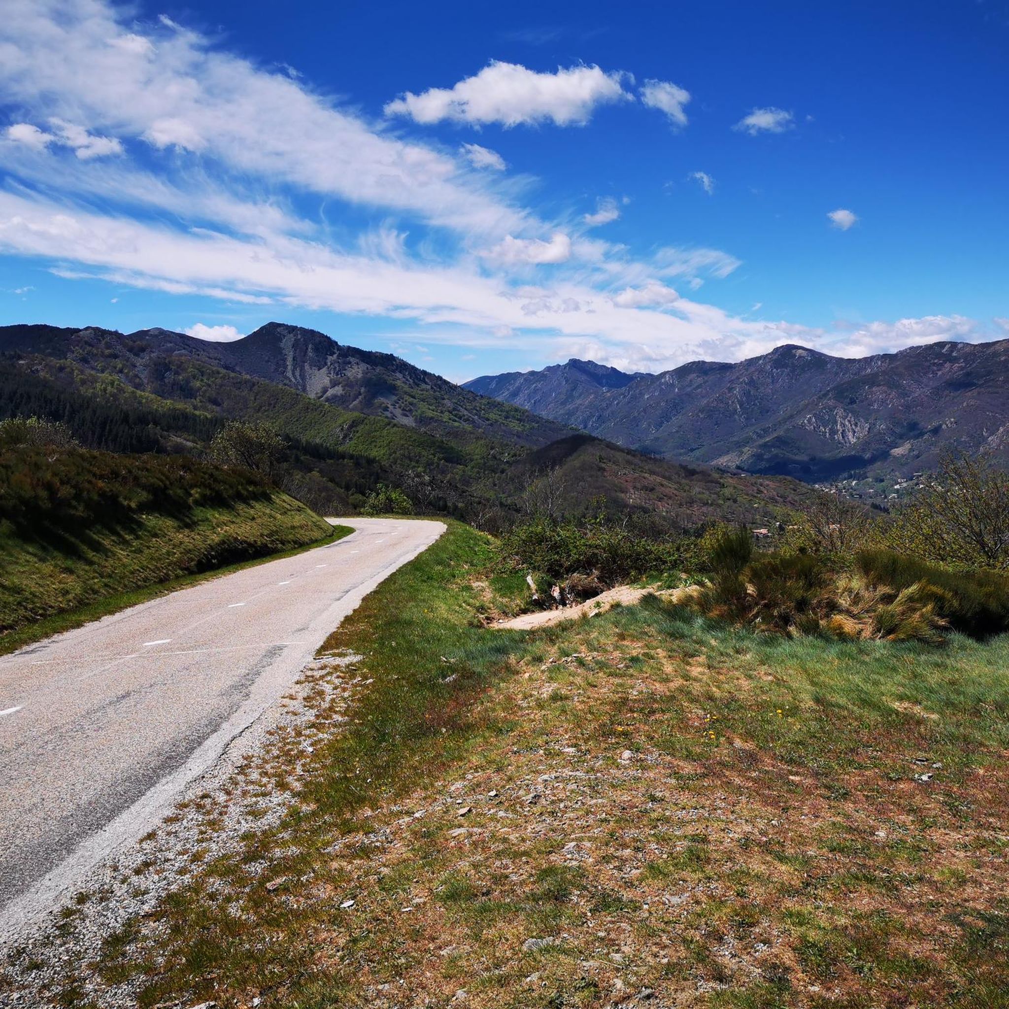

Tips from the Community

Beautiful, very shady route
0
0

Ailhon with old sandstone houses and beautiful Romanesque church.
0
0


On the way up there is an almost vertical passage here. Walking normally is impossible. Climbing is popular here
0
0

La Cham du Cros is a summit of the Tanargue massif in the Monts d'Ardèche regional natural park. It's not the highest (it culminates at 1,202 meters) but its massive appearance is quite impressive.
1
0

Very nice house, stayed in it myself, nice old-fashioned style.
0
0

Frequently Asked Questions
How many hiking trails are available around Lentillères?
There are over 330 hiking routes in the Lentillères area, offering a wide range of options for different skill levels and preferences. You'll find everything from easy strolls to more challenging treks through the diverse landscapes of the Ardèche.
What kind of terrain can I expect on hikes near Lentillères?
Hiking around Lentillères offers diverse terrain, characteristic of the Ardèche region. You can expect trails through ancient forests, past unique rock formations like those in the Bois de Païolive, and along river gorges. The area also features panoramic views, particularly in the Monts d'Ardèche.
Are there any easy hiking trails suitable for beginners or families in Lentillères?
Yes, Lentillères offers over 100 easy hiking routes. These trails are generally less strenuous and shorter, making them ideal for beginners or families looking for a relaxed outdoor experience. While specific easy routes aren't highlighted here, komoot provides many options to explore.
What are some notable natural landmarks or attractions to see while hiking in the area?
The region around Lentillères is rich in natural landmarks. You can discover unique geological features such as the Pont du Diable (Thueyts), the intriguing Queen's Ladder, and the impressive Rue des Géants Basalt Columns. The Source of the Gendarme's Hat is another interesting natural monument to explore.
Are there any historical sites or castles accessible from hiking trails?
Yes, the area features several historical sites and castles. For instance, you could visit the charming settlement of Vogüé, or explore the historic Ventadour Castle and Tauriers Castle. The Belvedere at the Château de Montréal also offers scenic views and a glimpse into the region's past.
What do other hikers say about the trails around Lentillères?
The hiking trails around Lentillères are highly regarded by the komoot community, with an average rating of 4.5 stars from over 1600 reviews. Hikers often praise the diverse landscapes, from ancient forests to river gorges, and the variety of routes available for different skill levels.
Are there any circular hiking routes near Lentillères?
Yes, many of the trails in the Lentillères area are circular, allowing you to start and end at the same point. An example is the moderate Ailhon Village – Romanesque Church of Ailhon loop from Ailhon, which takes you through rural landscapes and past historical sites.
Are there any challenging hikes for experienced trekkers?
For experienced trekkers seeking a challenge, there are 34 difficult routes available. One such demanding option is the Mount Aigu – Croix de Millet Pass loop from Largentière, a 19.6 km trail with significant elevation changes, typically taking over 6 hours to complete.
What is a good moderate hike to experience the local scenery?
A great moderate option to experience the local scenery is the Vierge du Ranc-Courbier loop from Chazeaux. This 11.3 km trail offers varied terrain and takes approximately 3 hours 30 minutes, providing a good balance of challenge and scenic beauty.
What is the best time of year to go hiking in Lentillères?
The Ardèche region, where Lentillères is located, generally offers pleasant hiking conditions from spring through autumn. Spring brings blooming flora, while autumn provides comfortable temperatures and beautiful fall colors. Summers can be warm, so early morning or late afternoon hikes are often preferred during this season.
Can I find trails that offer panoramic views?
Absolutely. The Lentillères area is situated near the Monts d'Ardèche Regional Natural Park, which is renowned for its panoramic views. Many trails in the region, especially those with higher elevation gains, will reward you with expansive vistas of the surrounding landscapes.
Are there any trails that pass through unique natural areas like the Bois de Païolive?
Yes, the region is close to the Bois de Païolive, known for its unique rock formations and ancient forest. While specific routes passing directly through it are not detailed here, many trails in the broader area allow you to experience similar intriguing natural landscapes and geological features.
Most popular routes around Lentillères
Most popular attractions around Lentillères

Get inspired with the komoot mobile app


Explore more
Browse the best Hikes in other regions.
