The best running trails around Antraigues-Sur-Volane
4.3
(53)
1,815
runners
113
runs
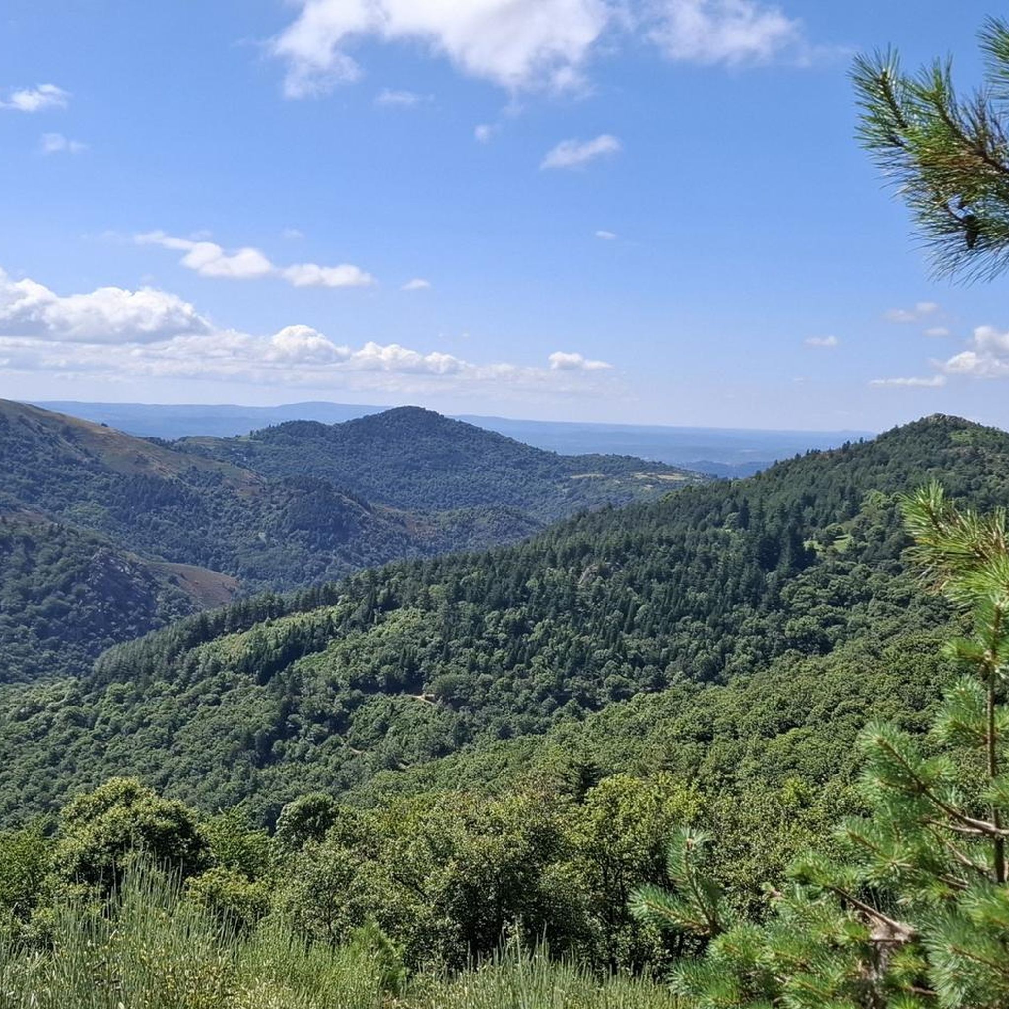
Jogging around Antraigues-Sur-Volane offers routes through a landscape shaped by extinct volcanoes, deep forests, and the Volane valley. The region is situated at 470 meters of altitude, characterized by basalt rock formations and basaltic cliffs. Running routes often follow paths along the Volane River and its tributaries, providing varied terrain. This area, part of the Monts d'Ardèche Regional Natural Park, presents a mix of riverbanks, forested trails, and elevated paths with scenic overlooks.
Best jogging routes around Antraigues-Sur-Volane
- The most…
Last updated: July 13, 2026
37
runners
15.7km
01:48
410m
410m
Hard run. Very good fitness required. Mostly paved surfaces. Suitable for all skill levels.
11
runners
13.2km
01:56
620m
620m
Hard run. Very good fitness required. Mostly paved surfaces. Suitable for all skill levels.

Sign up for free
10
runners
9.99km
01:11
350m
350m
Hard run. Very good fitness required. Mostly paved surfaces. Suitable for all skill levels.
8
runners
12.2km
01:35
380m
390m
Hard run. Very good fitness required. Mostly paved surfaces. Suitable for all skill levels.
7
runners
14.4km
02:06
680m
680m
Hard run. Very good fitness required. Sure-footedness, sturdy shoes and alpine experience required.
Get access to more routes and recommendations from other explorers.
Sign up for free
Already have an account?
Our route recommendations are based on thousands of hikes, rides, and runs completed by other people on komoot.
Start today with a free account
Your next adventure awaits.
Login or Signup
Tips from the Community

Small street, no traffic
0
0

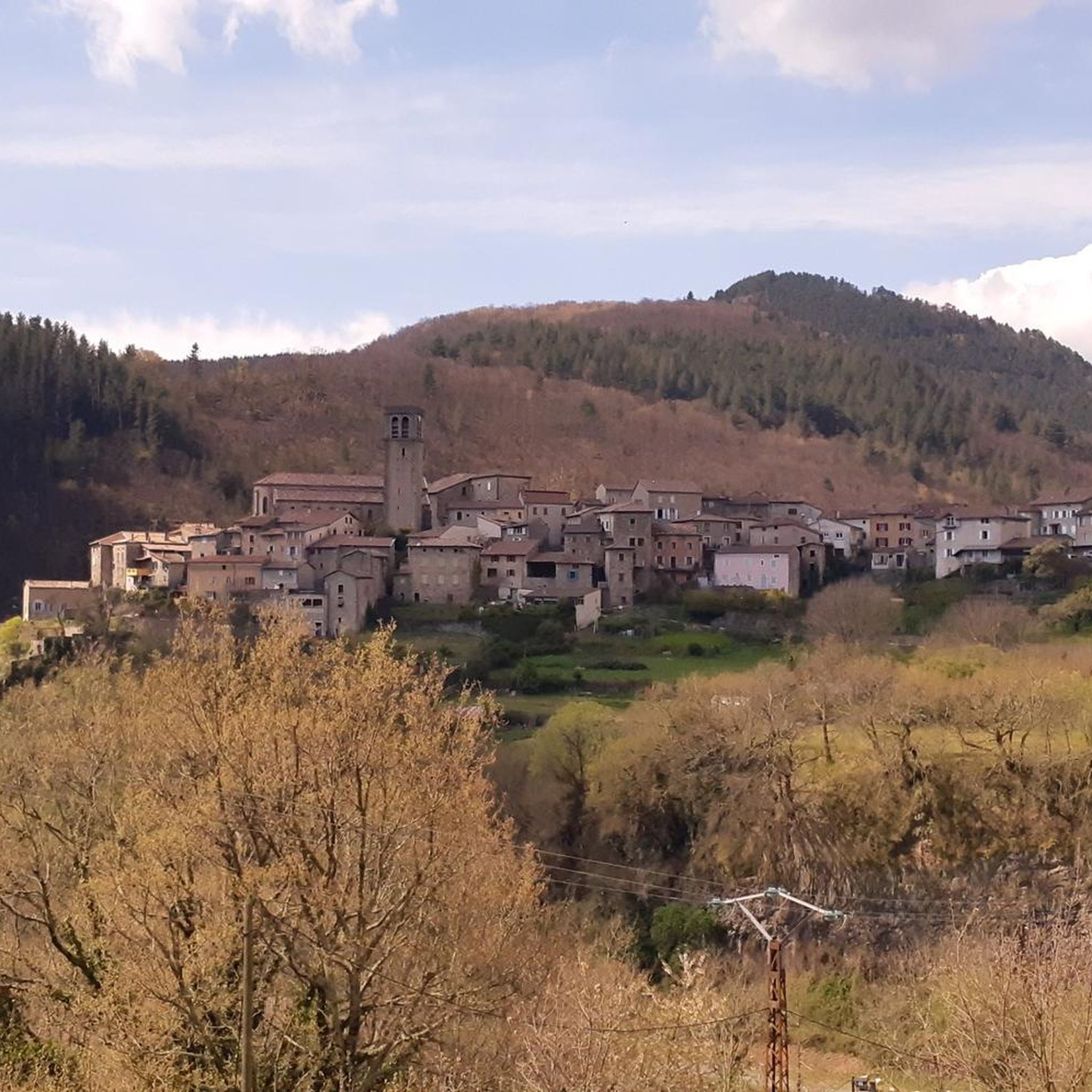
Pretty mountain village above the Volane.
0
0

The castle is located on the basalt field of the old volcano of Craux and dominates the valleys of Volane and Sandron. The castle was built in the 11th century as a hunting lodge. It was occupied for the last time in 1944 before being bought by the municipality in 1994 and restored.
6
0


Home of Jean Ferrat - the mountain
0
0

Col de Moucheyres from La Bastide-sur-Bésorgues: 4.4Km at 4.5% average
1
0

Nicely located old château. However, relatively little received. In the low season, the store was also closed for snacks and cheese.
4
0
Frequently Asked Questions
What kind of terrain can I expect on the running trails around Antraigues-sur-Volane?
The region is characterized by its dramatic volcanic geology, offering a mix of landscapes. You'll find paths along the scenic Volane River valley, through deep forests, and elevated routes with panoramic views. Expect varied terrain, from riverbanks to basaltic cliffs and ancient agricultural terraces, providing diverse options for runners.
Are there running routes suitable for beginners or those looking for an easier jog?
Yes, while the area is known for its challenging volcanic terrain, there are also easier paths. The village itself offers pleasant shorter routes through its paved streets and charming alleys. For slightly longer, less strenuous options, look for trails along the riverbanks, which are often shaded and more level. Komoot lists 4 easy routes and 46 moderate routes in the area.
Where can I find challenging running trails with significant elevation gain?
Antraigues-sur-Volane is ideal for runners seeking a challenge, with 53 difficult routes listed on komoot. The region's volcanic heritage means many trails feature notable ascents. For instance, the area around the Volcano of Craux offers routes with significant elevation changes, providing rewarding views from the summits. The Montivernoux Climb and the Col de Mézilhac are also known for their demanding ascents, popular with experienced runners.
Are there any circular running routes available?
Yes, many of the running routes around Antraigues-sur-Volane are circular, allowing you to start and finish in the same location. An example is the Castles of Craux loop from Vallées-d'Antraigues-Asperjoc, a challenging 9.8-mile (15.7 km) route that explores historical and natural features. Another popular option is the Les Palets – Château de Craux loop from Genestelle, a moderate 4.9-mile (7.9 km) path offering views of the Château de Craux and volcanic terrain.
What natural landmarks or scenic viewpoints can I discover while running?
The region is rich in natural beauty. You can run along the Volane River Valley, discover the beautiful Cascade d'Espissard, or marvel at the unusual Rocher du Fromage, a formation of basaltic columns. For spectacular views, consider routes that ascend the Volcano of Craux, offering panoramic vistas of the Ardèche Cévennes. Further afield, the Ray-Pic Waterfall is a stunning volcanic site with impressive rock formations.
Are the running trails around Antraigues-sur-Volane dog-friendly?
Many trails in the Monts d'Ardèche Regional Natural Park, where Antraigues-sur-Volane is located, are generally dog-friendly. However, it's always recommended to keep your dog on a leash, especially in protected areas, near livestock, or on popular routes. Always check specific trail regulations before heading out with your canine companion.
What do other runners say about the routes in Antraigues-sur-Volane?
The running routes in Antraigues-sur-Volane are highly rated by the komoot community, with an average score of 4.2 stars from over 50 reviews. Runners often praise the varied terrain, the stunning natural scenery shaped by extinct volcanoes, and the quiet, shaded paths along the river valleys and through forests. Many appreciate the options for both challenging climbs and more relaxed jogs.
Are there any family-friendly running routes suitable for all ages?
For families, consider the easier paths along the Volane River or within the charming village of Antraigues-sur-Volane itself. These routes are generally less strenuous and offer a pleasant experience for all ages. Look for trails marked as 'easy' on komoot, which tend to have less elevation gain and smoother surfaces.
What is the best time of year to go running in Antraigues-sur-Volane?
The region offers good running conditions for much of the year. Spring and autumn provide pleasant temperatures and beautiful scenery with changing foliage. Summer can be warm, so early morning or late afternoon runs are advisable, especially on shaded trails along the river. The 'Ardèche Run' semi-marathon in mid-September suggests that autumn is a popular time for running events.
Are there any permits required to access the running trails in the Monts d'Ardèche Regional Natural Park?
Generally, no specific permits are required for recreational running on the public trails within the Monts d'Ardèche Regional Natural Park. However, it's always good practice to respect local regulations, stay on marked paths, and be mindful of private property. For specific events or organized races, permits might be necessary, but not for individual recreational use.
How many running routes are available in the Antraigues-sur-Volane area?
Komoot features over 100 running routes around Antraigues-sur-Volane, offering a wide variety of options for all skill levels. This includes 4 easy routes, 46 moderate routes, and 53 difficult routes, ensuring there's a trail for every runner.
Can I find routes that pass by historical sites or castles?
Yes, the region's rich history is often intertwined with its natural landscapes. For example, the Castles of Craux loop from Vallées-d'Antraigues-Asperjoc is a challenging route that explores historical features. Another option is the Les Palets – Château de Craux loop from Genestelle, which offers views of the 11th-century Château de Craux.
Are there any running routes that offer views of rivers or waterfalls?
Absolutely. The Volane River valley is a prominent feature of the landscape, and many routes follow its banks and those of its tributaries. You can find trails that lead to the beautiful Cascade d'Espissard, a waterfall springing from the rock. For a more distant but spectacular sight, the Ray-Pic Waterfall, with its dramatic basaltic columns, is a significant natural monument in the wider Ardèche area.
Most popular routes around Antraigues-Sur-Volane
Most popular attractions around Antraigues-Sur-Volane

Get inspired with the komoot mobile app


Explore more
Browse the best Running Trails & Routes in other regions.
