The best walks and hikes around Freyssenet
4.5
(531)
2,689
hikers
131
hikes
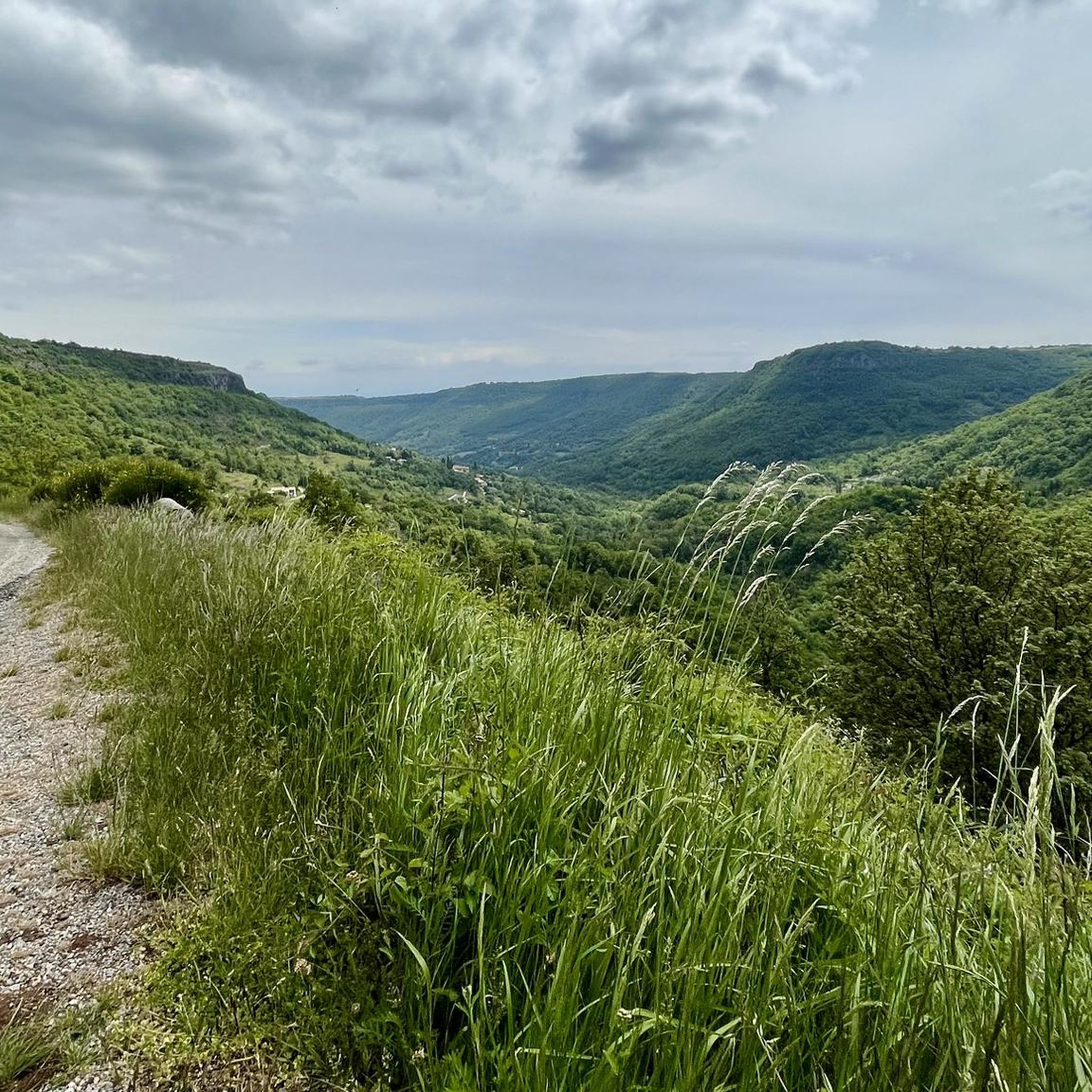
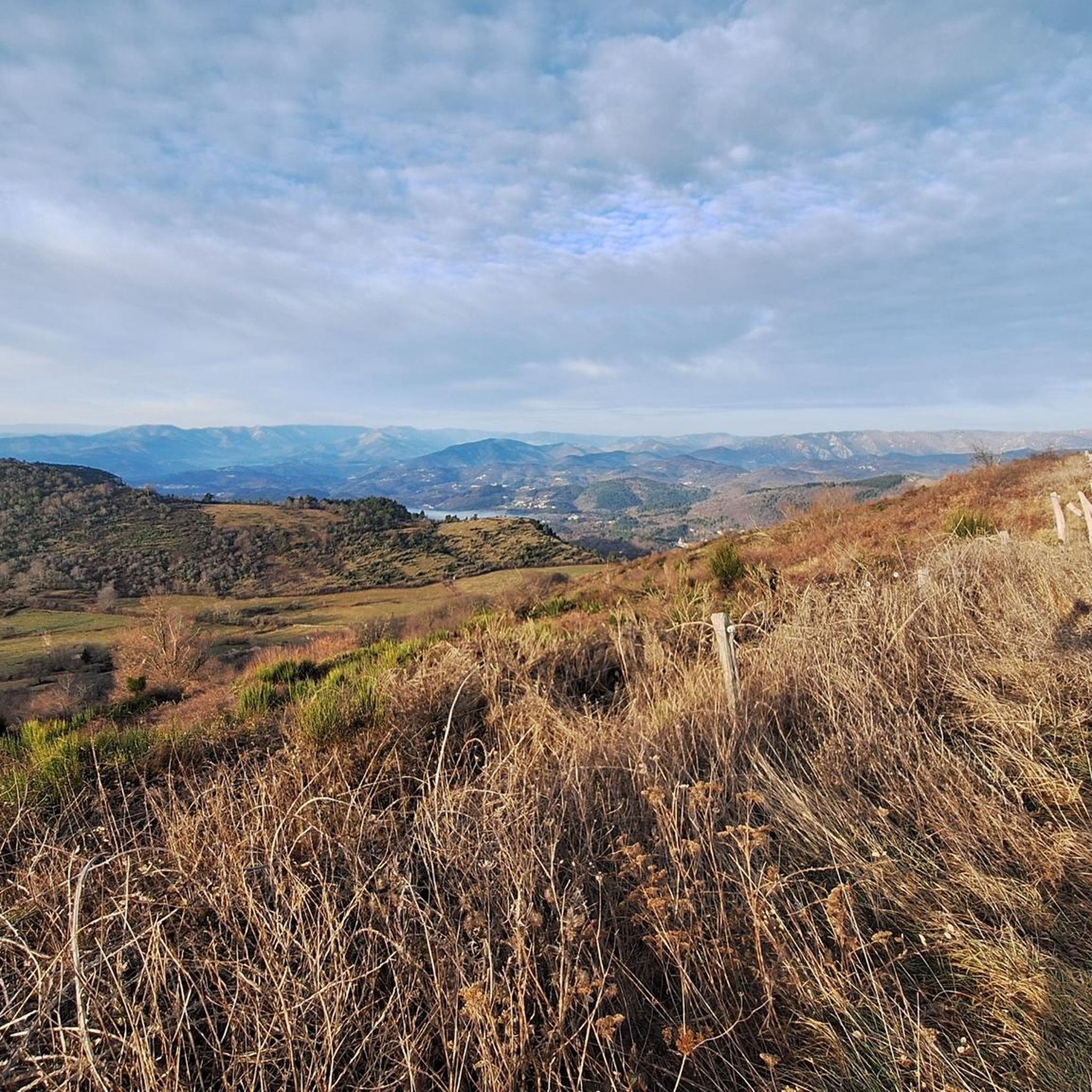
Hiking trails around Freyssenet navigate a landscape characterized by the basaltic Coiron Plateau, offering views over the Rhône Valley. The region features a mix of "serres" (ridges), gorges, and streams, typical of the Ardèche. Trails often include geological features and provide panoramas of the Ardèche and Ouvèze valleys. The terrain varies from accessible paths to more challenging routes.
Best hiking trails around Freyssenet
- The most popular hiking route is Small Stream with Rocks – Picnic Area loop from Privas,…
Last updated: August 25, 2026
4.5
(12)
44
hikers
5.81km
01:35
80m
80m
Easy hike. Great for any fitness level. Easily-accessible paths. Suitable for all skill levels.
4.5
(8)
38
hikers
6.34km
01:43
90m
90m
Easy hike. Great for any fitness level. Easily-accessible paths. Suitable for all skill levels.

Sign up for free
4.0
(2)
24
hikers
13.4km
04:07
480m
480m
Moderate hike. Good fitness required. Easily-accessible paths. Suitable for all skill levels.
4.8
(5)
27
hikers
9.74km
03:04
350m
350m
Moderate hike. Good fitness required. Easily-accessible paths. Suitable for all skill levels.
5.0
(7)
17
hikers
7.67km
02:45
350m
350m
Moderate hike. Good fitness required. Mostly accessible paths. Sure-footedness required.
Get access to more routes and recommendations from other explorers.
Sign up for free
Already have an account?
Our route recommendations are based on thousands of hikes, rides, and runs completed by other people on komoot.
Start today with a free account
Your next adventure awaits.
Login or Signup

Tips from the Community

Located in the heart of the old town, Privas Town Hall is housed in an elegant, historic building. With its light stone facade and French flags, it embodies the charm of small towns in the South of France. The small square in front of it is bustling with town life, amidst the market, cafés, and narrow alleys.
0
0

Privas is a commune in the Ardèche. It is better known as the capital of chestnut cream! It also appears in the Ardéchoise cyclosportive.
1
1

Get some rest, traveller! Here lies a really nice picnic ground.
1
0
Frequently Asked Questions
What kind of terrain can I expect on hikes around Freyssenet?
Hiking around Freyssenet offers a diverse landscape. You'll encounter the unique basaltic Coiron Plateau, providing geological interest and views over the Rhône Valley. The area is also characterized by 'serres' (ridges), gorges, and streams typical of the Ardèche, leading to varied terrain from accessible paths to more challenging routes.
Are there any easy hiking trails suitable for beginners or casual walkers?
Yes, Freyssenet offers numerous easy trails. For instance, the Small Stream with Rocks – Picnic Area loop from Privas is an easy 3.5-mile route, and the Small Stream with Rocks – Picnic Area loop from Veyras is another accessible 3.9-mile path exploring streams and picnic areas. Overall, there are 52 easy routes available.
What are some notable viewpoints or natural features to look out for on the trails?
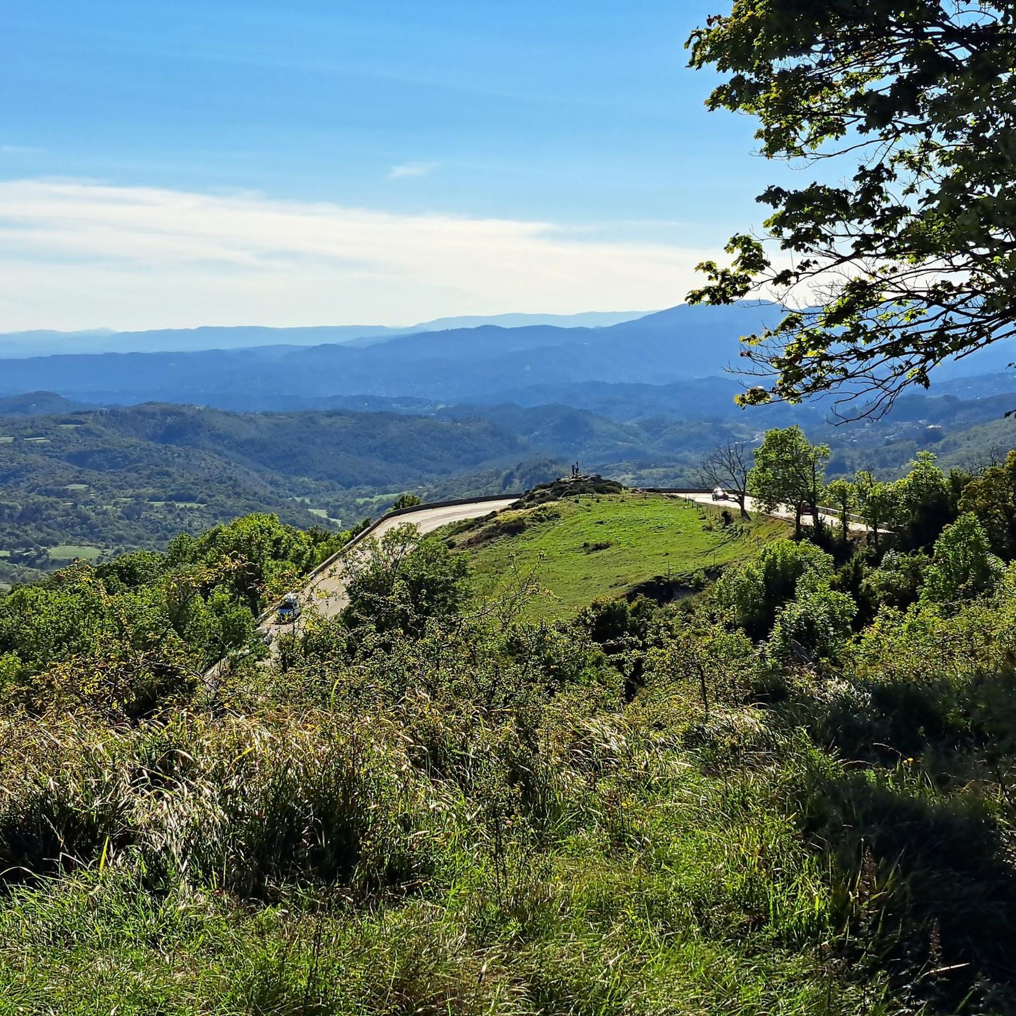
Many trails offer stunning panoramas of the Ardèche and Ouvèze valleys, with distant views of the Alps on clear days. The Coiron Plateau itself is a significant natural feature. You might also find ancient troglodytic habitats in the basaltic cliffs of Montbrun. Vantage points like Saint-Laurent-sous-Coiron offer 180° views, and the Roc de Gourdon provides a remarkable 360° viewpoint.
Are there any family-friendly hiking options in the Freyssenet area?
Yes, many of the easier routes are suitable for families. Trails that explore streams and picnic areas, such as the Small Stream with Rocks – Picnic Area loop from Privas, are generally good choices for families. The region's diverse landscape means you can find paths with gentle elevation gains and interesting natural features to keep everyone engaged.
Can I find circular hiking routes around Freyssenet?
Absolutely. Many of the trails around Freyssenet are designed as loops, allowing you to start and end at the same point. Examples include the Hiking loop from Veyras and the Hiking loop from Saint-Priest, both offering moderate challenges and scenic experiences.
What historical sites or landmarks can I explore while hiking near Freyssenet?
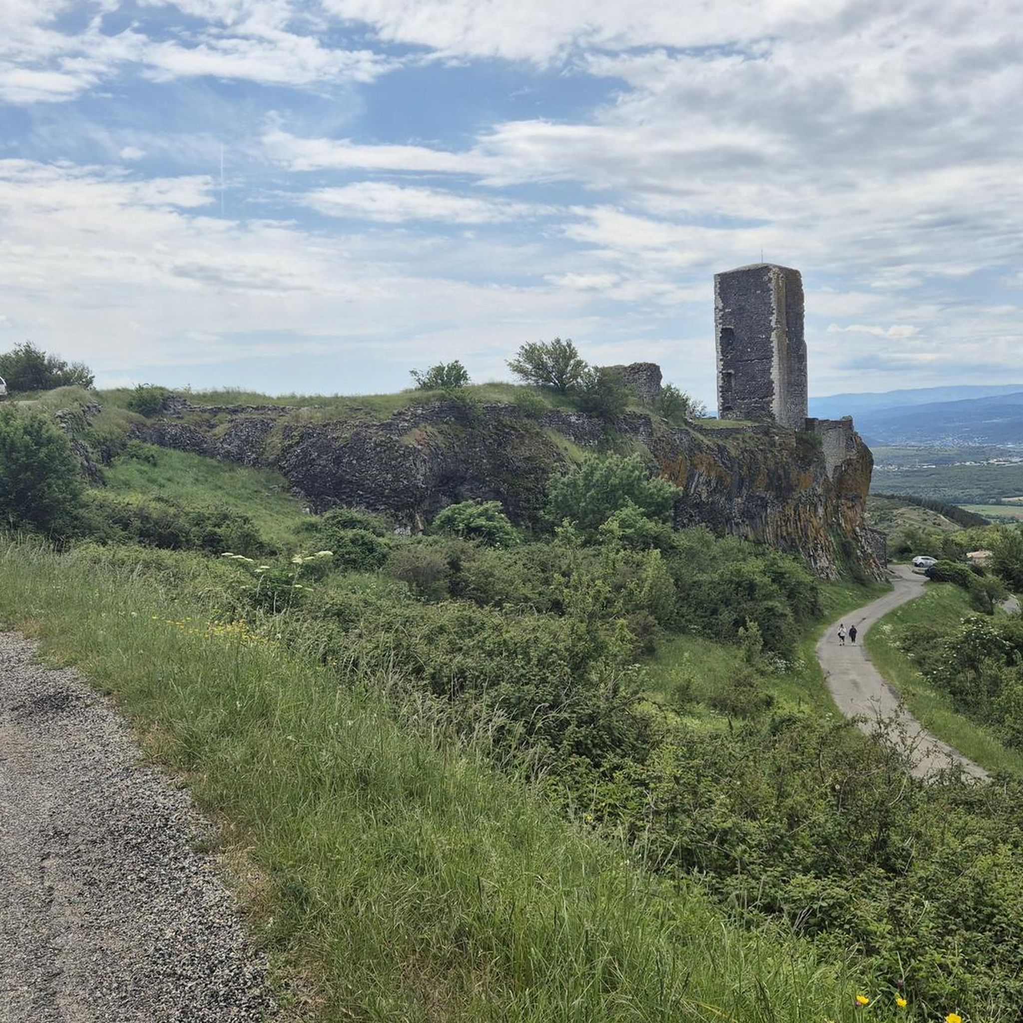
Hikes in the region often integrate historical elements. You might pass ancient millings or historical castles like the Château Bijou. A notable option is a route from Saint-Étienne-de-Boulogne to the fortified La Roche Castle, a classified historical monument dating back to the 11th century. The town of Privas also offers historical interest.
What do other hikers enjoy most about the trails around Freyssenet?
The hiking trails around Freyssenet are highly rated by the komoot community, with an average score of 4.6 stars from over 400 reviews. Hikers often praise the varied terrain, the stunning views of the Ardèche and Rhône valleys, and the unique geological features of the Coiron Plateau. The mix of easy and moderate routes also caters to a wide range of abilities.
Are there any challenging hikes for experienced hikers in the area?
Yes, while there are many easy and moderate trails, Freyssenet also offers more challenging options. There are 4 difficult routes available for those seeking a greater physical test. These routes typically feature higher elevation gains and longer distances, providing a rewarding experience for experienced hikers.
What is the best season for hiking around Freyssenet?
The Ardèche region, including Freyssenet, generally offers pleasant hiking conditions in spring and autumn, when temperatures are milder. Summer can be warm, but early mornings or late afternoons are still enjoyable. Winter hiking is possible, especially on lower elevation trails, but some higher routes might be affected by weather conditions.
Are there options for parking near the trailheads in Freyssenet?
While specific parking details vary by trailhead, many hiking routes in the Freyssenet area, particularly those starting from towns or villages like Privas or Veyras, typically have designated parking areas nearby. It's always advisable to check route descriptions for specific parking information before you go.
What are some nearby attractions that can be combined with a hike?
Beyond the trails, you can explore the town of Privas or visit historical sites like La Roche Castle. For those willing to venture a bit further, the iconic Gorges de l'Ardèche and Aven d'Orgnac are within reasonable driving distance, offering spectacular natural wonders.
How long do hikes around Freyssenet typically take?
Hikes around Freyssenet vary significantly in length and duration. Easy routes like the Small Stream with Rocks – Picnic Area loop from Privas can be completed in about 1 hour 30 minutes. Moderate trails, such as the Privas town center – Chapelle des Récollets loop from Privas, might take around 3 hours, while longer, more challenging routes can extend to half a day or more.
Most popular routes around Freyssenet
Most popular attractions around Freyssenet

Get inspired with the komoot mobile app


Explore more
Browse the best Hikes in other regions.
