The best walks and hikes around Gravières
4.6
(1587)
8,072
hikers
22
hikes
Hiking around Gravières offers diverse trails through the varied landscape of the Ardèche region. The area is characterized by river valleys, such as the Chassezac, and a network of old farm roads connecting small hamlets like Les Eyrnes. Hikers can expect routes with moderate elevation changes, leading through rural settings and offering views of the surrounding terrain.
Best hiking trails around Gravières
- The most popular hiking route is Gravieres Mairie et Eglise – View of Les Eyrnes loop from Gravières…
Last updated: July 9, 2026
4.7
(17)
73
hikers
12.8km
03:51
420m
420m
Moderate hike. Good fitness required. Easily-accessible paths. Suitable for all skill levels.
4.8
(10)
45
hikers
7.75km
02:26
310m
300m
Moderate hike. Good fitness required. Easily-accessible paths. Suitable for all skill levels.

Sign up for free
4.4
(13)
33
hikers
10.4km
03:00
270m
270m
Moderate hike. Good fitness required. Easily-accessible paths. Suitable for all skill levels.
4.9
(8)
39
hikers
4.54km
01:33
250m
250m
Easy hike. Great for any fitness level. Easily-accessible paths. Suitable for all skill levels.
4.2
(6)
24
hikers
6.08km
01:40
100m
90m
Easy hike. Great for any fitness level. Easily-accessible paths. Suitable for all skill levels.
Get access to more routes and recommendations from other explorers.
Sign up for free
Already have an account?
Our route recommendations are based on thousands of hikes, rides, and runs completed by other people on komoot.
Start today with a free account
Your next adventure awaits.
Login or Signup

Tips from the Community

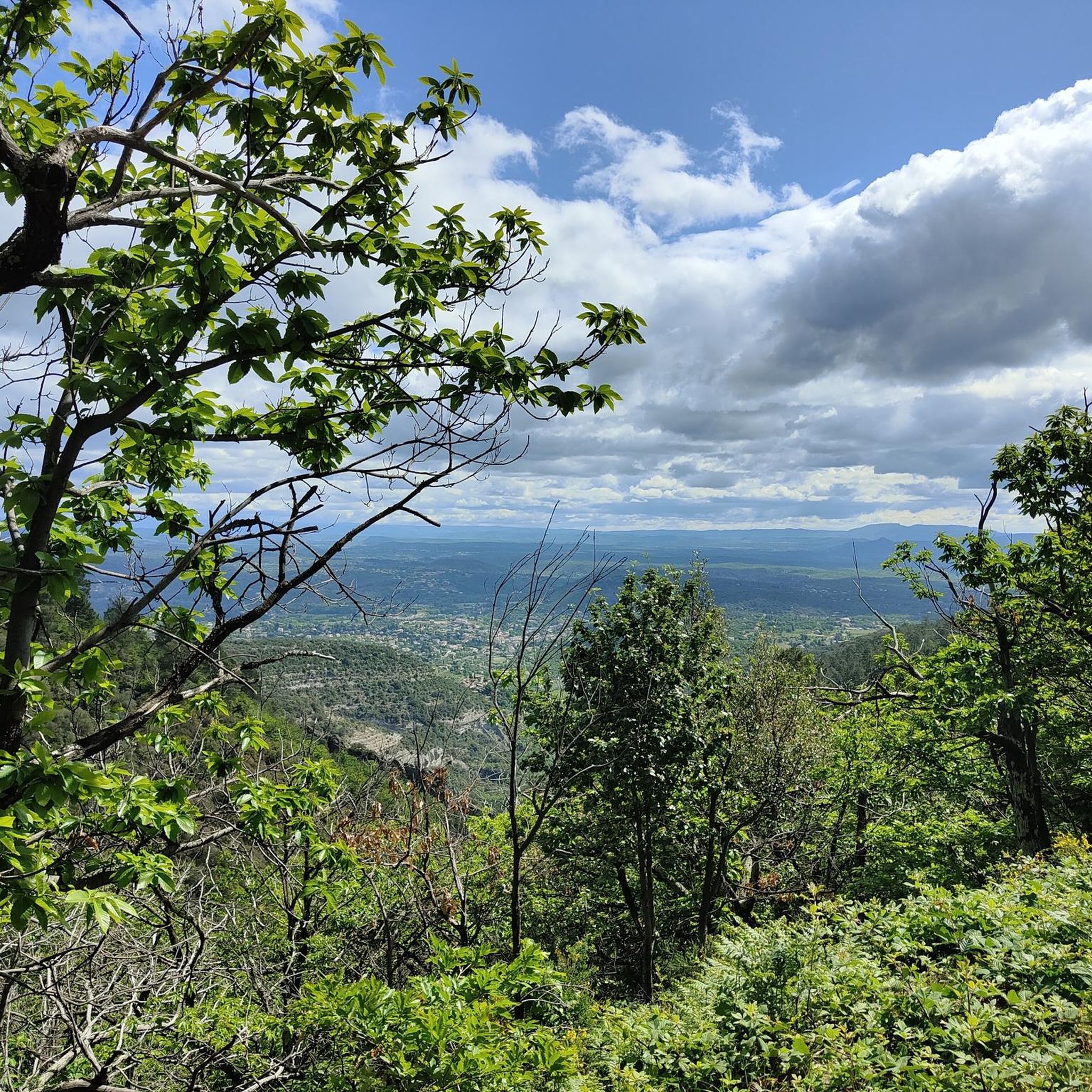
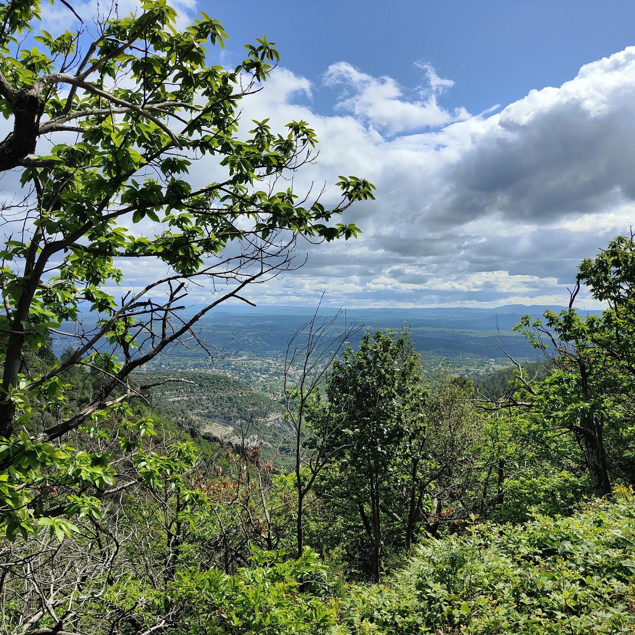
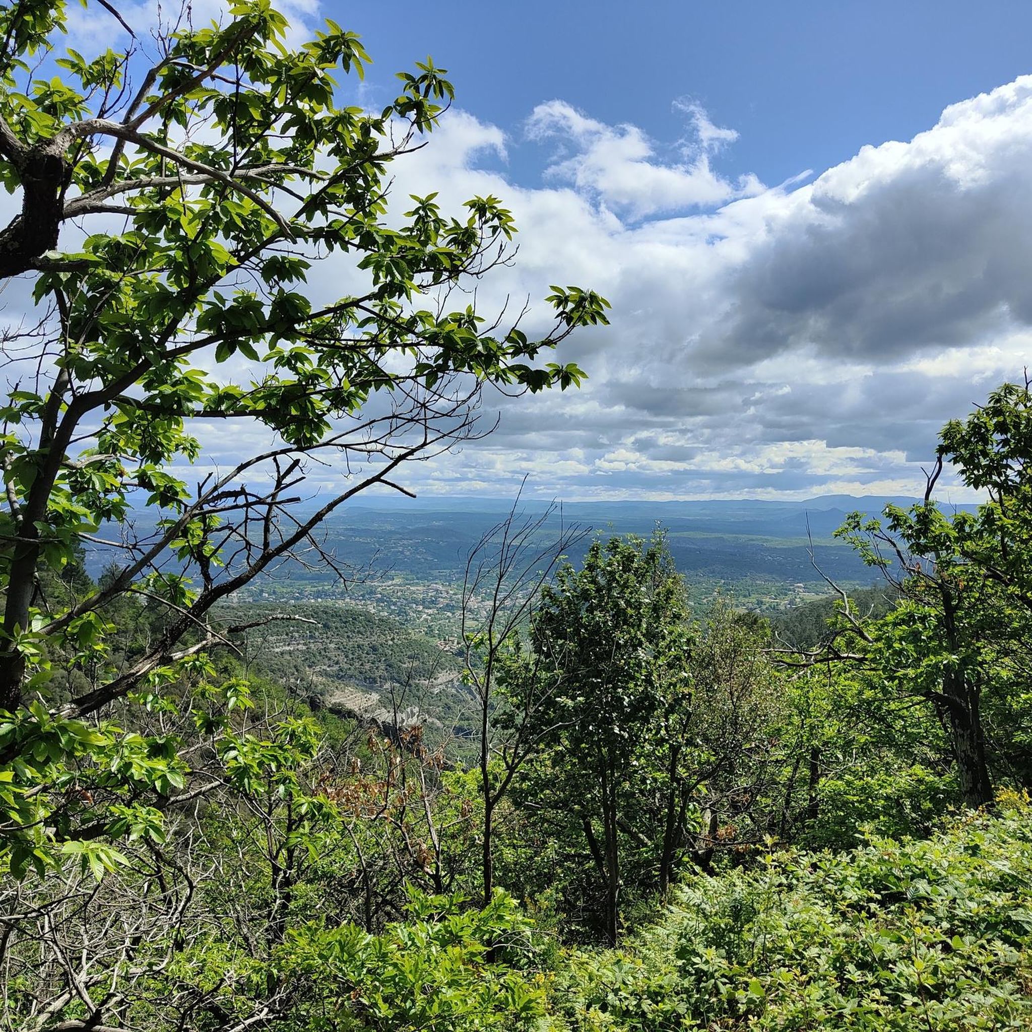
A beautiful, varied circular hiking trail. All of it follows ancient cultural trails. Numerous explanations of ancient customs are included. Integrated into a themed trail (La Virade du Batistou), with information provided in gravières on information boards. In Les Vans, you can pick up an explanatory letter about the hike from the Tourist Office. Also suitable for older children. Many of the trails are shaded. Bring plenty of water on hot summer days. No refreshment stops!
0
0


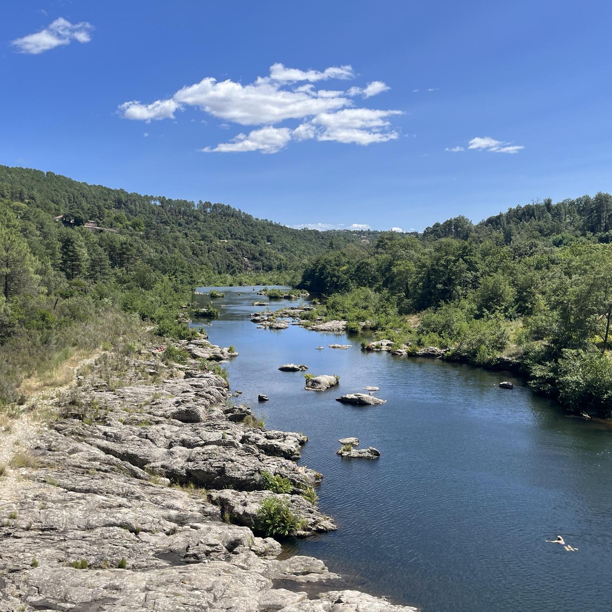
The Chassezac, a winding river that crosses the Cévennes and the Ardèche, offers an exceptional natural setting for outdoor enthusiasts. Its spectacular gorges, surrounded by limestone cliffs and green forests, create a perfect setting for outdoor activities such as canoeing, hiking or climbing. The crystal-clear waters of the Chassezac invite you to swim or take a refreshing break in the heart of wild nature.
1
0

Many hikes start at the church in Gravieres. Just before returning there, this spot offers the perfect opportunity to cool off.
1
1

On the banks of the Chassezac, at the Nassier bridge, this pretty beach invites you to swim after a hike.
0
0

Wonderful bathing area and great picnic - place
0
0

Another small and pittoresque crossing of Chassezac. With a nice climb and beatifull hairpins!
0
0
Frequently Asked Questions
How many hiking trails are available around Gravières?
Gravières offers a good selection of hiking opportunities, with over 20 trails to explore. These routes cater to various skill levels, ranging from easy riverside strolls to more challenging paths with greater elevation gain.
What kind of terrain can I expect on hikes around Gravières?
The hiking trails around Gravières traverse the varied landscape of the Ardèche region. You'll encounter river valleys, such as the Chassezac, and a network of old farm roads connecting small hamlets. Expect routes with moderate elevation changes, leading through rural settings and offering views of the surrounding terrain.
Are there easy hiking trails suitable for beginners or families in Gravières?
Yes, Gravières has 5 easy hiking trails perfect for beginners or families. A good option is the Chassezac River loop from Gravières, a 2.0-mile (3.2 km) trail that takes about 54 minutes to complete, offering a pleasant walk along the river.
Are there challenging hikes for experienced hikers in Gravières?
For experienced hikers seeking a challenge, Gravières offers 4 difficult routes. These trails typically feature more significant elevation changes and longer distances, providing a rewarding experience through the region's rugged landscape.
What are the typical durations for hikes in Gravières?
Hike durations in Gravières vary widely. Shorter, easier routes like the Chassezac River loop from Gravières can be completed in under an hour. Moderate trails, such as the Gravieres Mairie et Eglise – Great old farm roads loop from Les Salelles (4.8 miles / 7.8 km), typically take around 2 hours 25 minutes. Longer routes can extend to nearly 4 hours.
Are there circular walks available in Gravières?
Many of the trails around Gravières are designed as circular routes, allowing you to start and end at the same point. An example is the Gravieres Mairie et Eglise – View of Les Eyrnes loop from Gravières, a 7.9-mile (12.8 km) trail offering expansive views.
What can I see along the hiking trails around Gravières?
Beyond the natural beauty of the Ardèche, you can explore several points of interest. The region is known for its impressive gorges, such as the Gorges du Chassezac, and the scenic Chassezac River itself. You might also encounter viewpoints like the View of the Chassezac River at Pied-de-Borne, or even the Fox Cave.
Can I bring my dog on the hiking trails in Gravières?
Generally, dogs are welcome on hiking trails in the Gravières area, especially on rural paths and old farm roads. It's always recommended to keep your dog on a leash, particularly in areas with livestock or near protected natural sites, and to carry waste bags to clean up after them.
Where can I park when hiking in Gravières?
Parking is typically available in the village of Gravières itself, often near the Mairie (town hall) or church. For routes starting from smaller hamlets like Les Salelles, you can usually find designated parking areas or roadside spots. Always check local signage for any restrictions.
What do other hikers enjoy the most about hiking in Gravières?
The komoot community highly rates the hiking experience in Gravières, with an average score of 4.6 stars from over 1500 reviews. Hikers often praise the diverse landscape, the peaceful rural settings, and the well-maintained network of trails that offer a mix of riverside walks and elevated viewpoints.
Are there any less crowded hiking options around Gravières?
While Gravières offers popular routes, you can find quieter trails by exploring some of the less-trafficked old farm roads or starting your hike from smaller, less central hamlets. The region's extensive network provides many opportunities to discover serene paths away from the main tourist spots.
What is the best season for hiking in Gravières?
The spring and autumn months are generally ideal for hiking in Gravières, offering pleasant temperatures and vibrant natural scenery. Summer can be warm, so early morning or late afternoon hikes are recommended, especially for longer routes. Winter hiking is possible, but some paths might be muddy or require appropriate gear depending on conditions.
Most popular routes around Gravières
Most popular attractions around Gravières

Get inspired with the komoot mobile app


Explore more
Browse the best Hikes in other regions.
