The best road cycling routes around Tauriers
4.6
(278)
6,124
riders
106
rides
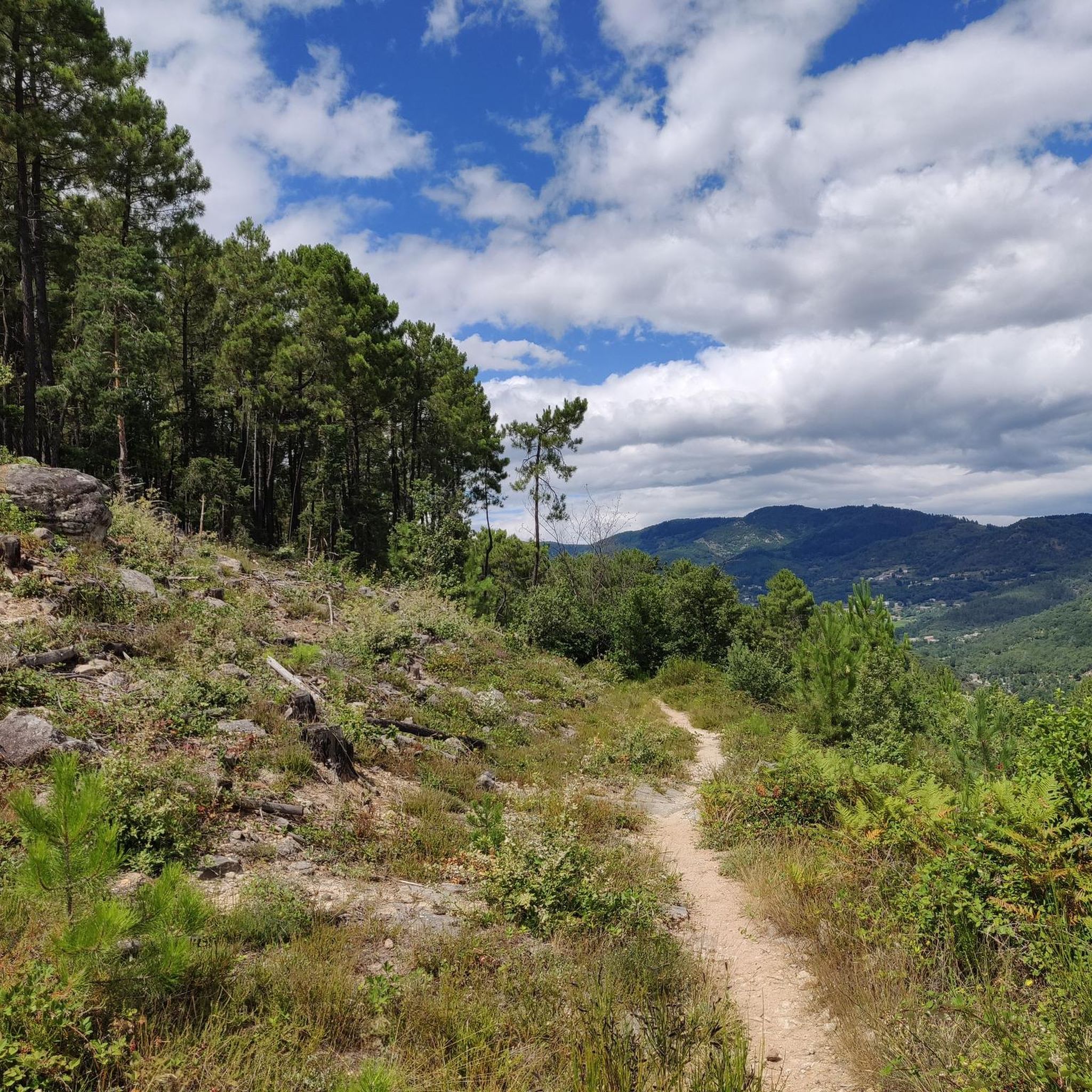
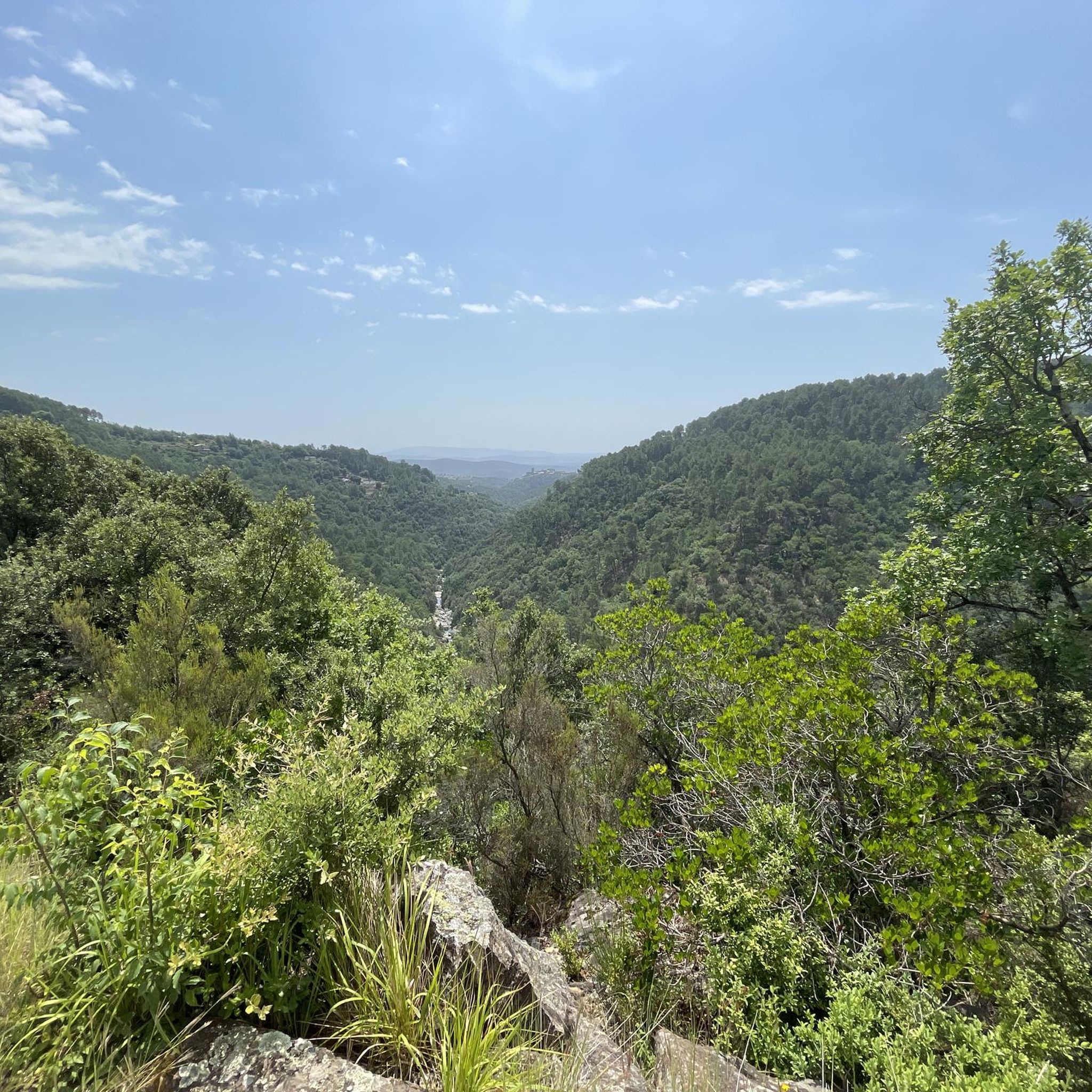
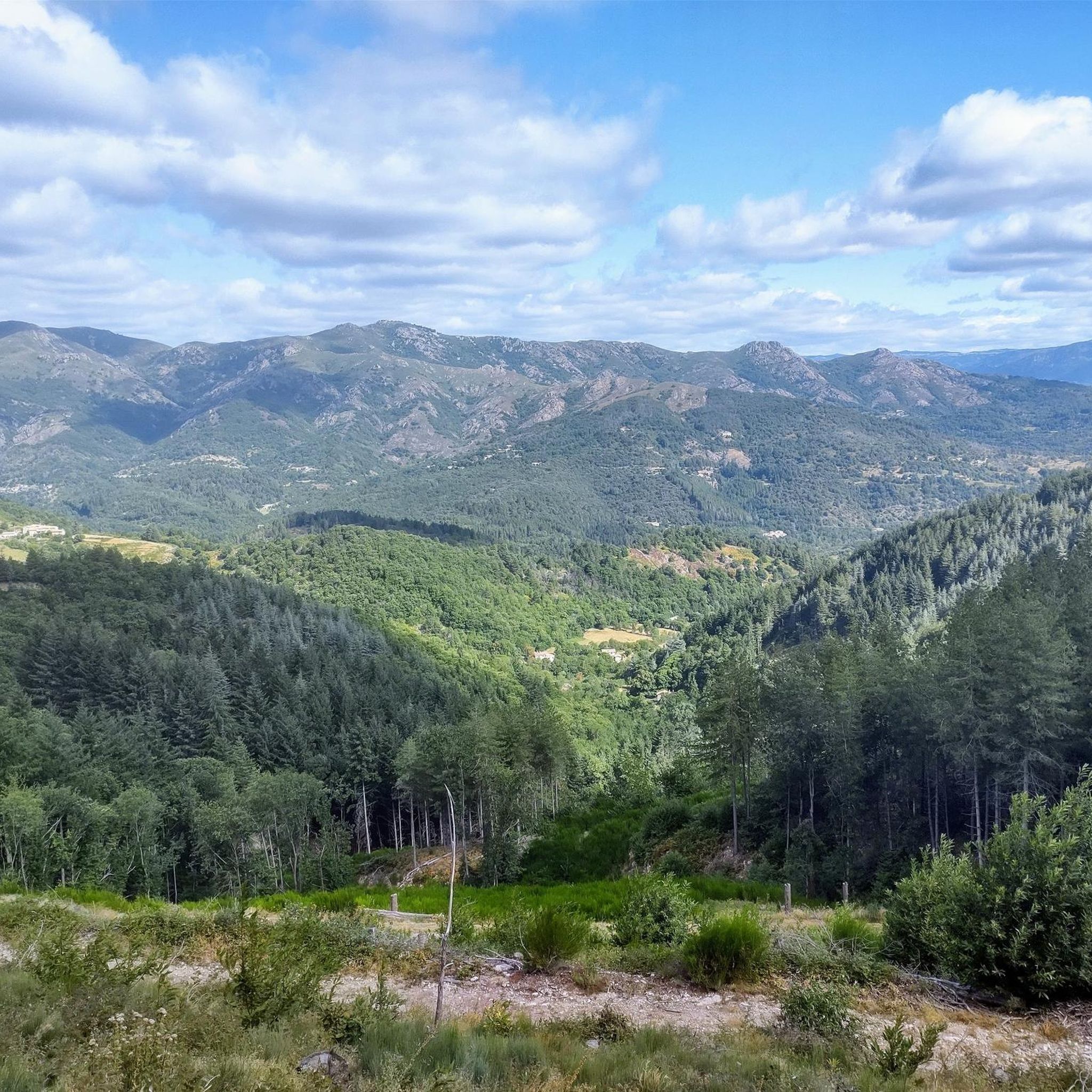
Road cycling routes around Tauriers are situated in the Auvergne-Rhône-Alpes region of southern France, characterized by varied relief, from forests to gorges and canyons. The area features a hilly to mountainous environment, with elevations ranging from 219 to 503 meters, and an average altitude of approximately 420 meters. The communal territory is traversed by the Roubreau river, contributing to the natural landscape. This region is known for its winding, lightly trafficked roads, offering diverse cycling experiences.
Best road cycling routes…
Last updated: November 1, 2026
4.8
(4)
161
riders
95.0km
05:10
1,730m
1,730m
Hard road ride. Very good fitness required. Mostly well-paved surfaces and easy to ride.
4.3
(3)
129
riders
78.9km
04:06
1,280m
1,280m
Hard road ride. Very good fitness required. Some segments of this route may be unpaved and difficult to ride.

4.9
(13)
76
riders
35.6km
02:03
720m
720m
Moderate road ride. Good fitness required. Mostly well-paved surfaces and easy to ride.
4.3
(8)
72
riders
40.3km
01:56
520m
520m
Moderate road ride. Good fitness required. Some segments of this route may be unpaved and difficult to ride.
4.5
(11)
134
riders
34.2km
01:54
710m
710m
Moderate road ride. Good fitness required. Mostly well-paved surfaces and easy to ride.
Get access to more routes and recommendations from other explorers.
Already have an account?
Our route recommendations are based on thousands of hikes, rides, and runs completed by other people on komoot.
Start today with a free account
Your next adventure awaits.

Tips from the Community

Very impressive bridge
0
0


Same for me, I've been to Ruoms several times but not on this side. Thanks for the info.
0
0

Vogüé, the charming village with small houses at the foot of an imposing rock face. Stone calades (small paved alleys), typical of the old villages in Ardèche with narrow streets beautiful to drive through and catch your breath.
1
0

A beautifully situated village with narrow streets. The large bridge is a great place to swim in the Ardèche. One of the shops, La Virginie Episerie d'Ardèche, on the grande rue, serves delicious goat ice cream and offers shady seating. They also sell snacks and many regional delicacies to give as gifts.
1
0
Frequently Asked Questions
How many road cycling routes are available around Tauriers?
There are over 110 road cycling routes around Tauriers, offering a wide range of options for different skill levels. The komoot community has explored these routes extensively, with over 4900 road cyclists using komoot in the area.
What kind of terrain can I expect on road cycling routes near Tauriers?
The region around Tauriers is characterized by a hilly to mountainous environment, with elevations ranging from 219 to 503 meters. You can expect varied relief, winding roads, and a mix of challenging climbs and exhilarating descents, typical of the Ardèche department.
Are there routes suitable for beginners or those looking for easier rides?
While the area is known for its varied and often challenging terrain, there are a few easier routes available. Out of the 110 routes, 4 are classified as easy, providing options for those seeking less demanding rides.
Where can I find challenging climbs for advanced road cyclists?
For advanced road cyclists seeking challenging climbs, the region offers numerous opportunities. Many routes feature significant elevation changes, with 47 routes classified as difficult. A notable example is the Col de La Croix de Millet – Croix de Millet Pass loop from Chassiers, which includes over 1000 meters of ascent.
What scenic landmarks or natural features can I see along the routes?
Road cycling routes around Tauriers offer picturesque views and access to several natural wonders and charming villages. You can encounter features like the Ruoms Gorge, the historic village of Balazuc, and the stunning Cirque de Gens (Ardèche). The Vogüé Village – Bridge over the Ardèche in Balazuc loop from Chassiers is a great option for connecting charming villages and scenic views.
Are there any circular road cycling routes in the area?
Yes, many of the road cycling routes around Tauriers are designed as loops, allowing you to start and end in the same location. Examples include the Ruoms Gorge – Pont des Brasseries loop from Largentière and the Nice climb – Courthouse loop from Chassiers.
What is the best time of year for road cycling in Tauriers?
The Ardèche region, where Tauriers is located, generally offers pleasant cycling conditions from spring through autumn. The sun-drenched southern Ardèche provides a rich sensory journey. However, it's always advisable to check local weather forecasts closer to your visit, as conditions can vary.
Is parking available for cyclists near the routes in Tauriers or Largentière?
While specific parking facilities for cyclists are not detailed, Tauriers is a small commune, and nearby larger villages like Largentière (just 1.59 km away) typically offer public parking options. It's recommended to check local signage upon arrival for the most suitable parking spots.
Can I reach Tauriers by public transport with my bike?
Public transport options directly to Tauriers with a bike may be limited due to its small size. The Ardèche region is known for its low population density. It's best to research regional bus services or train connections to larger towns in the Ardèche and then cycle the remaining distance, or consider driving to a starting point with your bike.
Are there any specific permits required for road cycling in the Ardèche region?
Generally, no specific permits are required for road cycling on public roads in the Ardèche region of France. However, always respect local traffic laws and any signage indicating restricted areas or private property.
Are the road cycling routes around Tauriers family-friendly?
The varied and often hilly to mountainous terrain around Tauriers means that many routes might be challenging for very young children or inexperienced family members. However, some of the easier routes could be suitable for families with older, more experienced cyclists. Always check the difficulty grade and elevation profile of a route before setting out with family.
What do other road cyclists enjoy the most about road cycling in Tauriers?
The road cycling experience around Tauriers is highly rated by the komoot community, with an average score of 4.4 stars from over 200 reviews. Cyclists often praise the winding, lightly trafficked roads, the diverse landscapes, and the challenging climbs that offer rewarding views of the Ardèche countryside.
Most popular attractions around Tauriers

Get inspired with the komoot mobile app


Explore more
Browse the best Road cycling routes in other regions.
