The best running trails around Roquefeuil
4.8
(6)
802
runners
68
runs
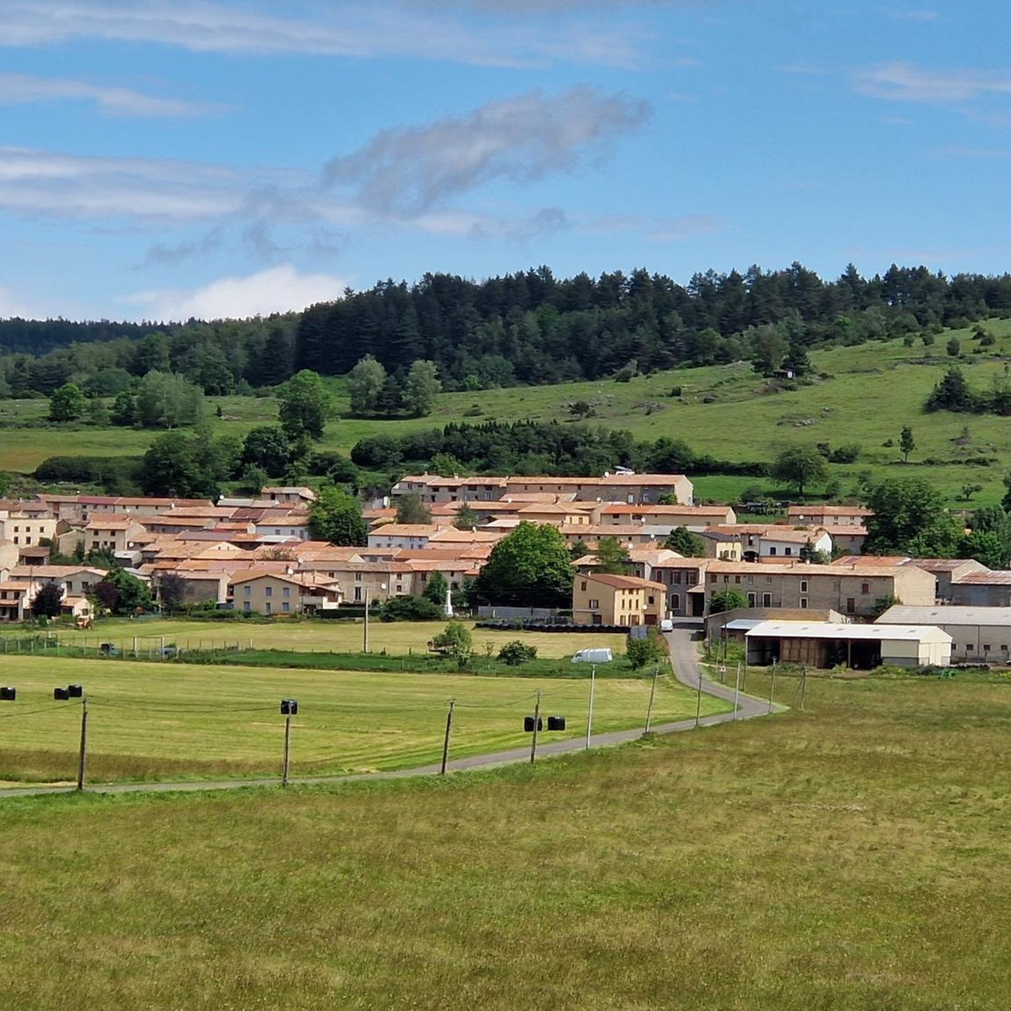
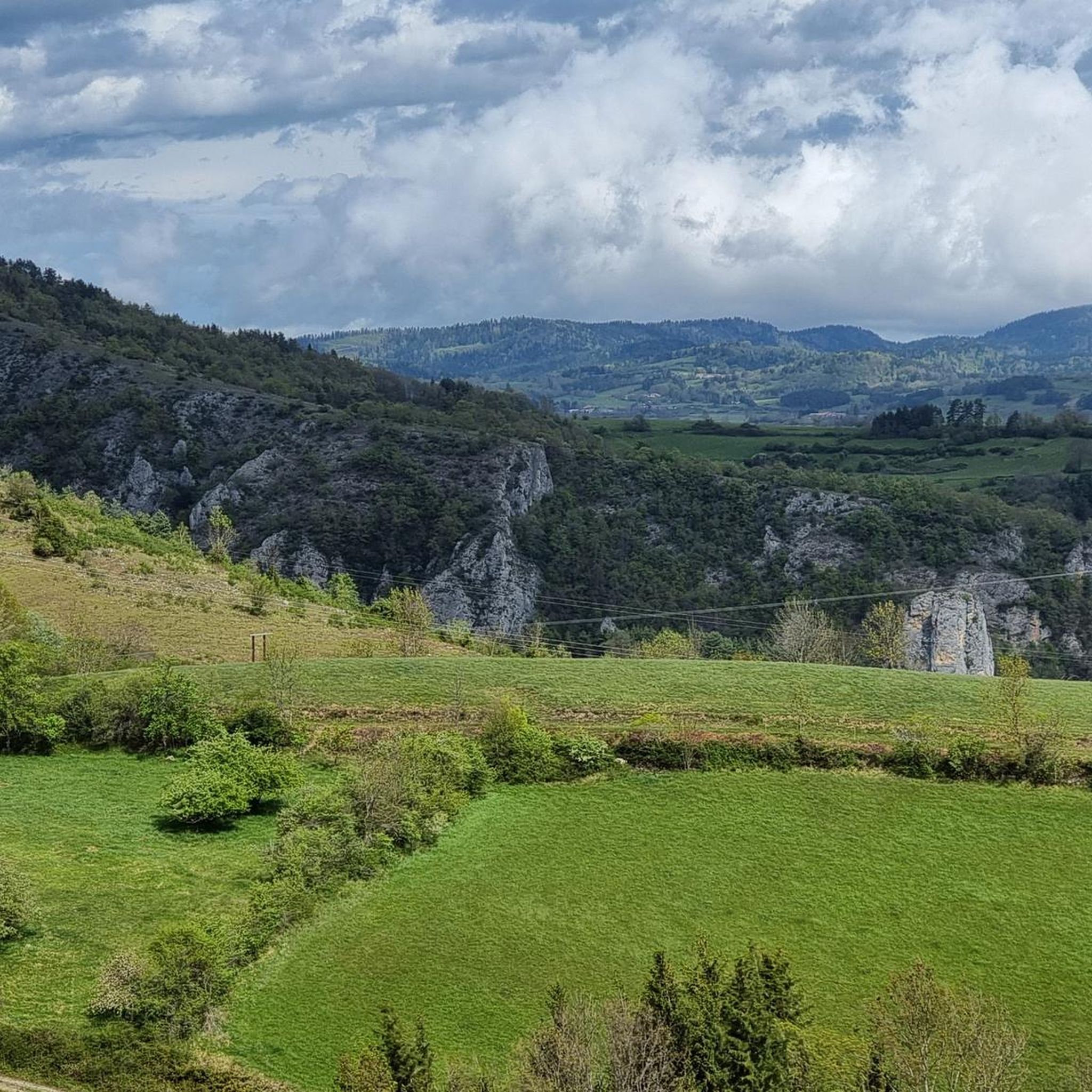
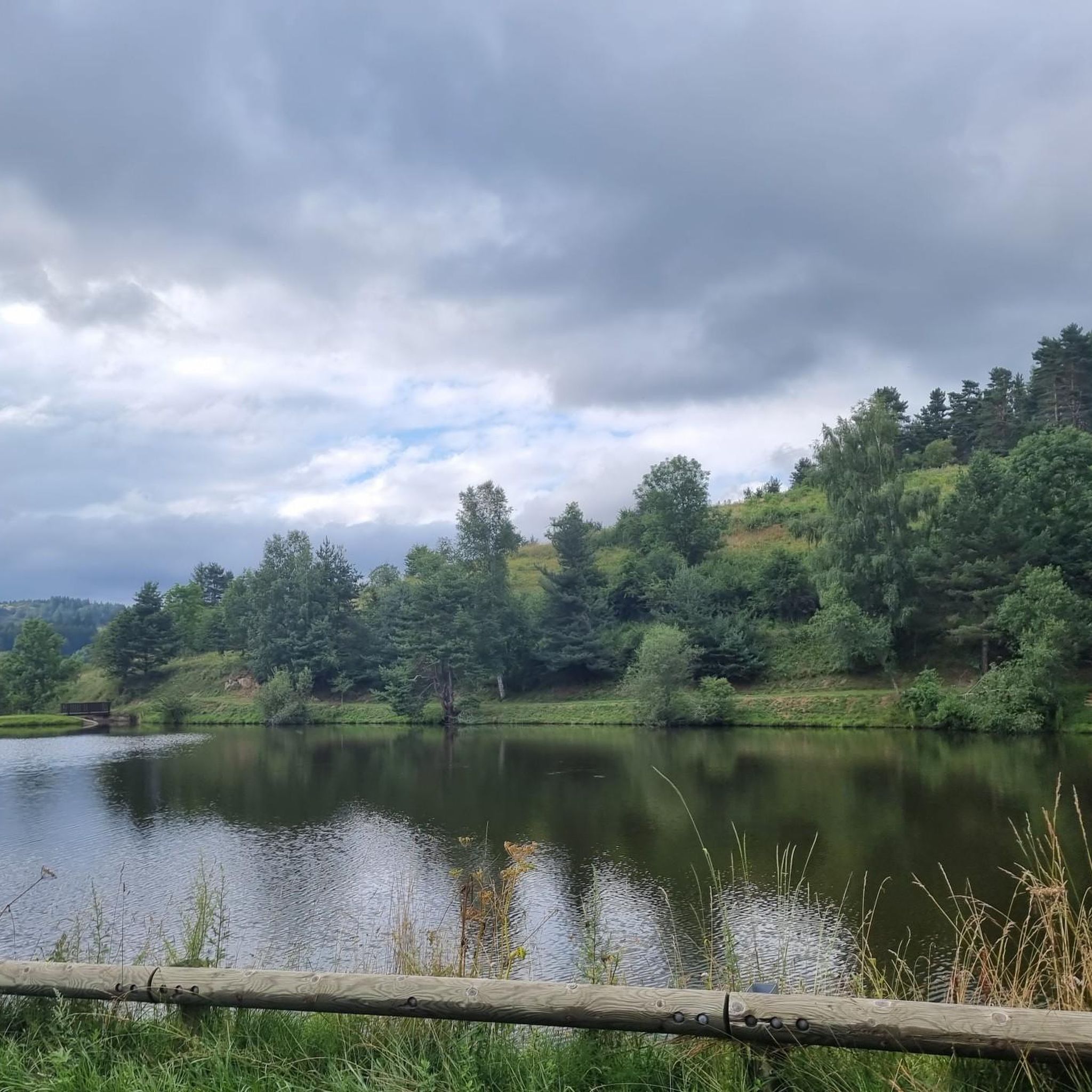
Jogging around Roquefeuil offers a diverse experience through the Aude department, close to the Ariège Pyrenees. The region features mountainous terrain with significant elevation changes, providing panoramic views of the Pyrenees and distant plains. Runners can explore high-altitude lakes and extensive forested paths, including the "forêt de Sainte-Colombe." To the west, the Pays de Sault presents wide open spaces with lavender and spelt fields, offering varied landscapes for running.
Best jogging routes around Roquefeuil
- The most popular jogging route is…
Last updated: July 4, 2026
5.0
(1)
13
runners
6.14km
00:59
400m
400m
Hard run. Very good fitness required. Mostly paved surfaces. Suitable for all skill levels.
8
runners
9.09km
01:15
410m
410m
Hard run. Very good fitness required. Mostly paved surfaces. Suitable for all skill levels.

Sign up for free
7
runners
9.90km
01:08
250m
250m
Moderate run. Good fitness required. Mostly paved surfaces. Suitable for all skill levels.
4
runners
10.4km
01:14
290m
290m
Moderate run. Good fitness required. Mostly paved surfaces. Suitable for all skill levels.
8
runners
21.5km
02:58
930m
930m
Hard run. Very good fitness required. Mostly paved surfaces. Suitable for all skill levels.
Get access to more routes and recommendations from other explorers.
Sign up for free
Already have an account?
Our route recommendations are based on thousands of hikes, rides, and runs completed by other people on komoot.
Start today with a free account
Your next adventure awaits.
Login or Signup

Tips from the Community

The Croix des 7 Frères is a small, inconspicuous summit and the start of a nice ride in the area.
17
0
1253 meters high, you can reach it via asphalt or gravel road
6
0

Fairly easy pass with average gradients of 5% on both sides.
5
0

Cross the forest of Bélesta, pass of the cross of the dead, Belcaire, pass of the 7 brothers, descent to Niort de Sault, climb of Espezel, then return via the maquis of Picaussel, the Babourade....an excellent route, very pleasant with a lot of shade.
0
0

Located at an altitude of 1,253 meters, this pass is approximately 11 kilometers from the Chioula pass when arriving from Ax-les-Thermes. The road that leads there is very pleasant and panoramic. You can also go up there from Niort-de-Sault for 10 kilometers at around 4%. Its name comes from the disappearance of seven brothers who froze to death after getting lost in a snowstorm.
0
0

Between Andorra and Carcassonne
1
0

By Niort, beautiful climb of 8.5 kms and 500 of D+
0
0

Simple port from Belcaire. The interesting thing is to take the detour to Niort de Sault towards the Rebenty valley and enjoy a simple road without hardly any traffic that circulates through a beautiful forest.
4
1
Frequently Asked Questions
How many running routes are available around Roquefeuil?
Roquefeuil offers a wide selection of running routes, with over 60 trails available. These range from easy village loops to challenging mountain ascents, catering to various fitness levels.
What kind of terrain can I expect on jogging routes in Roquefeuil?
You can expect a diverse range of terrain. The region is characterized by mountainous landscapes, extensive forests like the "forêt de Sainte-Colombe", and high-altitude plateaus such as the Pays de Sault. Many routes feature significant elevation changes, offering both challenging climbs and rewarding panoramic views of the Pyrenees.
Are there any easy running trails suitable for beginners or families?
Yes, while many routes are moderate to difficult, there are options for easier runs. For instance, the region offers several village loops that are less strenuous. Look for routes marked as 'easy' or 'moderate' on komoot for a more relaxed experience.
Where can I find routes with scenic views in Roquefeuil?
Many routes in Roquefeuil offer stunning scenic views, especially those that ascend to higher elevations. Trails leading towards the Pic des Sarrasis and Pic du Midi are known for panoramic vistas. The Pic des Rives loop from Belcaire, for example, provides challenging climbs with rewarding views from the Pic des Rives.
Are there any circular running routes available?
Yes, many of the running routes around Roquefeuil are designed as loops, allowing you to start and finish in the same location. Popular examples include the Col des Sept Frères loop from Belcaire and the Running loop from Espezel, which offer varied landscapes and return to their starting points.
What do other runners say about the trails in Roquefeuil?
The running trails in Roquefeuil are highly regarded by the komoot community, with an average rating of 4.8 stars from over 6 reviews. Runners often praise the diverse terrain, the tranquility of the forested paths, and the breathtaking views of the Pyrenees and surrounding landscapes.
Can I find long-distance running routes in the area?
Absolutely. Roquefeuil's mountainous terrain and extensive network of trails are ideal for long-distance running. Routes like the Col du Pradel loop from Espezel, at nearly 12 km with significant elevation, provide excellent opportunities for longer, more challenging workouts.
Are there any interesting landmarks or attractions along the running routes?
Yes, the region is rich in natural and historical points of interest. While running, you might encounter various mountain passes such as Pradel Pass or Col des Sept Frères. The nearby Lac de Belcaire also offers a picturesque setting. For a different experience, you could explore the Labyrinthe Vert.
What is the best season for running in Roquefeuil?
Roquefeuil offers enjoyable running conditions across multiple seasons. Spring and autumn provide pleasant temperatures and vibrant scenery. Summer offers shaded routes through the extensive forests, while winter running can be beautiful, especially on paths at lower altitudes, though higher mountain trails may require specific gear due to snow.
Are there any moderate running routes for those looking for a challenge without extreme difficulty?
Yes, there are numerous moderate routes that offer a good workout without the extreme climbs of the most difficult trails. The Ancien manoir loop from Belcaire is a great example, providing a substantial distance and elevation gain that is challenging yet manageable for many runners.
Most popular attractions around Roquefeuil

Get inspired with the komoot mobile app


Explore more
Browse the best Running Trails & Routes in other regions.
