The best running trails around Belfort-Sur-Rebenty
4.8
(4)
131
runners
31
runs
Jogging routes Belfort-sur-Rebenty traverse a heavily wooded plateau in the Aude department, offering varied terrain for runners. The region is characterized by its diverse landscapes, including winding paths along rivers, trails through lush forests, and ascents to elevated viewpoints. Situated within the Pays de Sault, the area features a network of routes ranging from gentle circuits through open fields to more challenging climbs up hills, providing options for different fitness levels.
Best jogging routes around Belfort-Sur-Rebenty
- The most popular jogging…
Last updated: July 18, 2026
5.0
(1)
13
runners
6.14km
00:59
400m
400m
Hard run. Very good fitness required. Mostly paved surfaces. Suitable for all skill levels.
8
runners
9.09km
01:15
410m
410m
Hard run. Very good fitness required. Mostly paved surfaces. Suitable for all skill levels.

Sign up for free
7
runners
9.90km
01:08
250m
250m
Moderate run. Good fitness required. Mostly paved surfaces. Suitable for all skill levels.
4
runners
10.4km
01:14
290m
290m
Moderate run. Good fitness required. Mostly paved surfaces. Suitable for all skill levels.
8
runners
21.5km
02:58
930m
930m
Hard run. Very good fitness required. Mostly paved surfaces. Suitable for all skill levels.
Get access to more routes and recommendations from other explorers.
Sign up for free
Already have an account?
Our route recommendations are based on thousands of hikes, rides, and runs completed by other people on komoot.
Start today with a free account
Your next adventure awaits.
Login or Signup
Tips from the Community

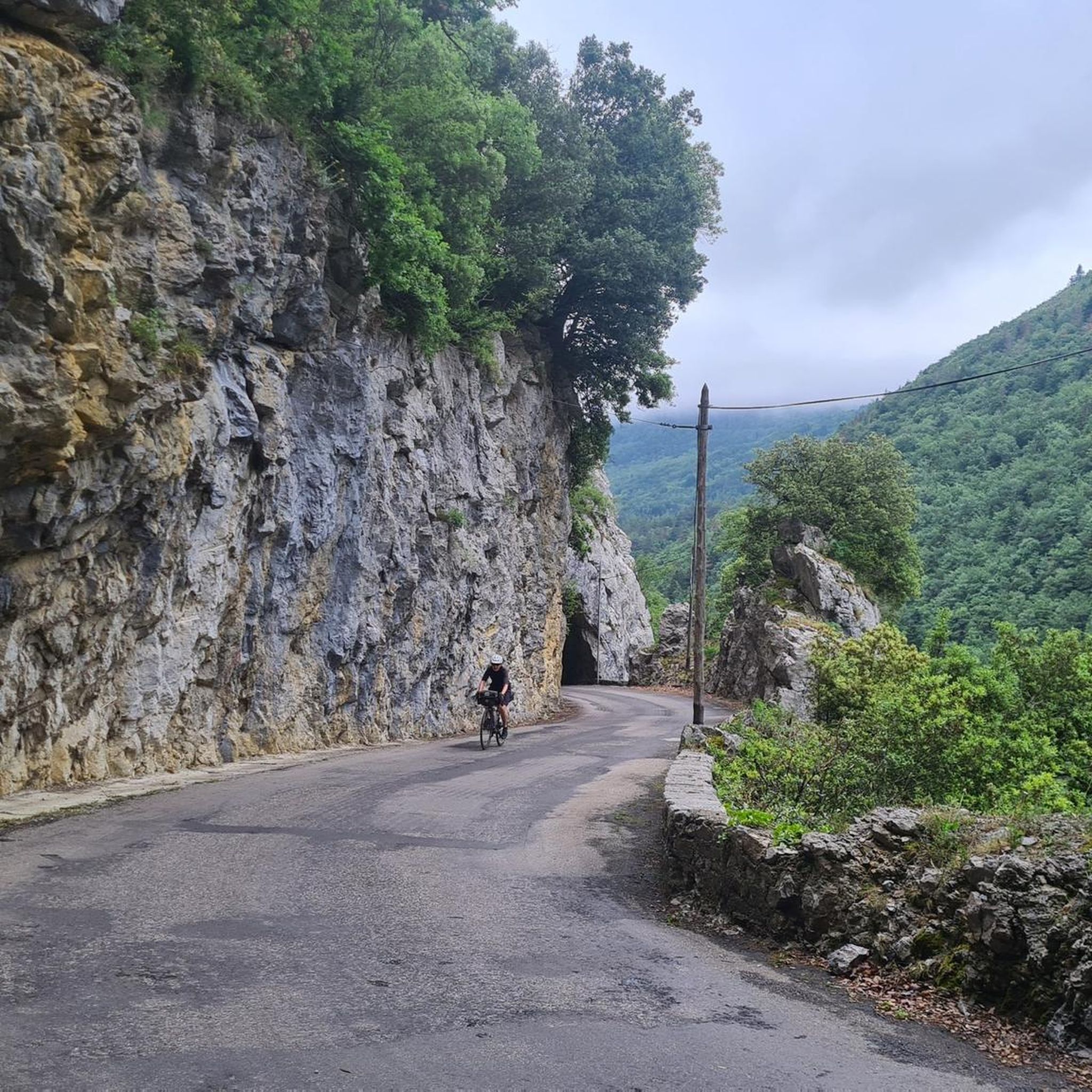
The Croix des 7 Frères is a small, inconspicuous summit and the start of a nice ride in the area.
17
0
1253 meters high, you can reach it via asphalt or gravel road
6
0

Fairly easy pass with average gradients of 5% on both sides.
5
0

Cross the forest of Bélesta, pass of the cross of the dead, Belcaire, pass of the 7 brothers, descent to Niort de Sault, climb of Espezel, then return via the maquis of Picaussel, the Babourade....an excellent route, very pleasant with a lot of shade.
0
0

Located at an altitude of 1,253 meters, this pass is approximately 11 kilometers from the Chioula pass when arriving from Ax-les-Thermes. The road that leads there is very pleasant and panoramic. You can also go up there from Niort-de-Sault for 10 kilometers at around 4%. Its name comes from the disappearance of seven brothers who froze to death after getting lost in a snowstorm.
0
0

Between Andorra and Carcassonne
1
0

By Niort, beautiful climb of 8.5 kms and 500 of D+
0
0

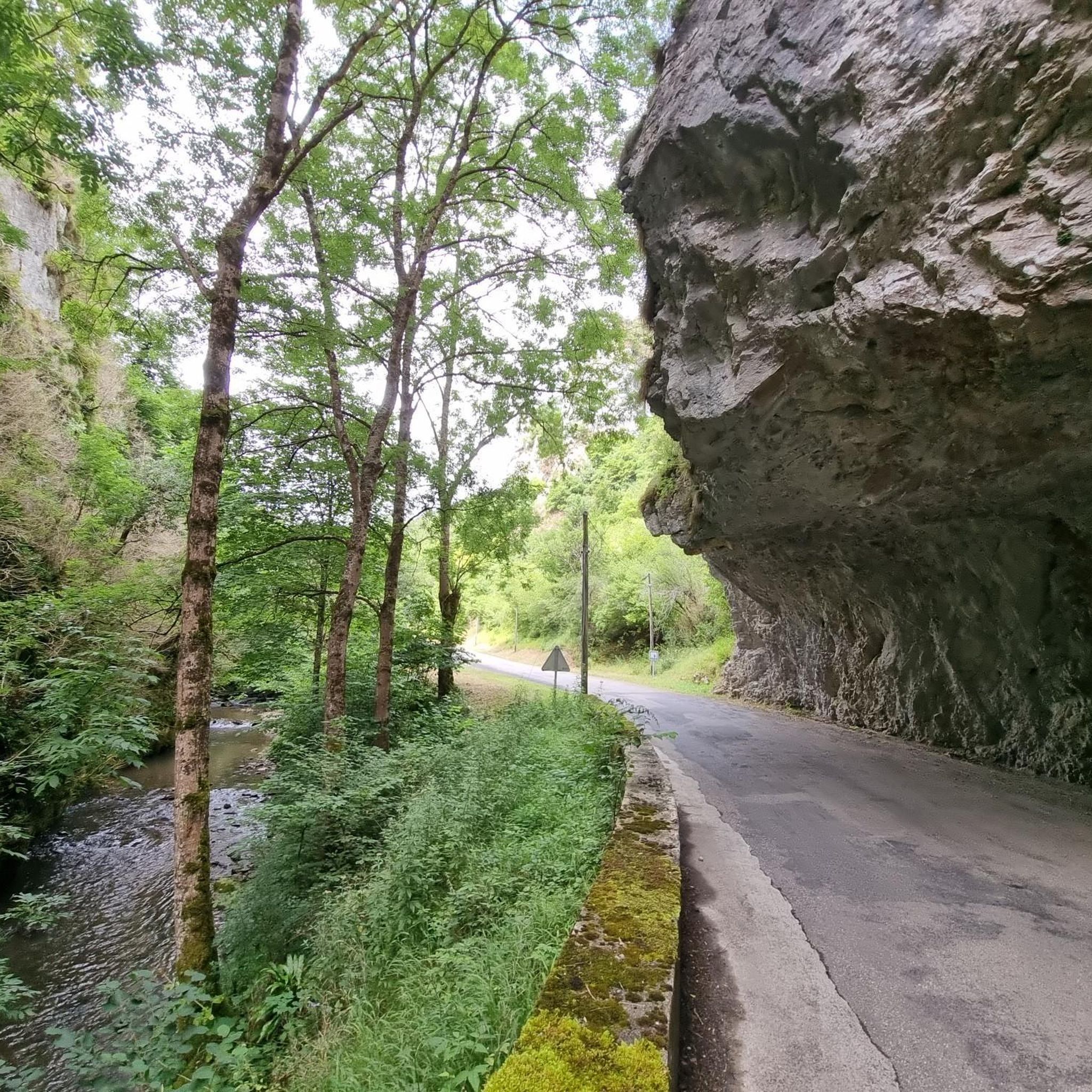
Simple port from Belcaire. The interesting thing is to take the detour to Niort de Sault towards the Rebenty valley and enjoy a simple road without hardly any traffic that circulates through a beautiful forest.
4
1
Frequently Asked Questions
How many running routes are available in Belfort-Sur-Rebenty?
Belfort-Sur-Rebenty offers a diverse network of over 30 running routes. These range from easy paths suitable for a gentle jog to more challenging trails for experienced runners, ensuring options for various fitness levels.
What kind of terrain can I expect on the jogging routes around Belfort-Sur-Rebenty?
The region is characterized by diverse terrain, including winding paths along rivers, trails through lush forests, and ascents to elevated viewpoints. You'll find a mix of wooded plateaus, river valleys, and hilly sections, providing varied landscapes for your run.
Are there any easy jogging routes for beginners or casual runners?
Yes, there are several easier options. The area features routes ranging from gentle circuits through open fields to more accessible forest paths. While specific easy routes aren't detailed here, you can find at least 2 easy routes among the 30+ available, perfect for a relaxed run.
What are some of the more challenging running trails in the area?
For those seeking a challenge, Belfort-Sur-Rebenty offers 13 difficult routes with more demanding climbs and varied gradients. The general hilly topography and proximity to mountainous areas like the Regional Natural Park of Catalan Pyrenees provide ample opportunities for elevation training and panoramic views.
What do other runners enjoy most about jogging in Belfort-Sur-Rebenty?
The running routes in Belfort-Sur-Rebenty are highly rated by the komoot community, with an average score of 4.75 stars from 4 reviews. Runners often praise the unspoiled nature, breathtaking scenery, and the variety of terrains, from peaceful lakeside loops to challenging mountain ascents.
Are there any circular jogging routes in Belfort-Sur-Rebenty?
Yes, many of the routes are designed as loops. For example, the Running loop from Espezel is a popular 6.2-mile (9.9 km) circular trail, and the Pic des Rives loop from Belcaire offers a 3.8-mile (6.1 km) circuit through elevated terrain.
Can I find running routes that pass by interesting landmarks or natural features?
Absolutely. The region is rich in natural beauty and historical sites. You can find routes that offer dramatic scenery like the Gorges de la Pierre-Lys and Gorges de Galamus. For specific points of interest, consider exploring highlights such as the Pailhères Pass or the Labyrinthe Vert, which are near some of the running areas.
Are there any running routes that explore historical points of interest?
Yes, some routes incorporate cultural elements. For instance, the Ancien manoir loop from Belcaire is a moderate 6.1-mile (9.9 km) path that explores the local countryside and historical points of interest, allowing you to combine your run with a glimpse into the region's past.
What is the best time of year for jogging in Belfort-Sur-Rebenty?
The diverse terrain, including lush forests, makes jogging enjoyable throughout much of the year. Forest paths offer shaded routes, which are particularly beneficial during warmer weather. The region's natural beauty is captivating in spring and autumn, while summer provides longer daylight hours. Winter running is also possible, though conditions may vary.
Are there any running trails suitable for families?
While specific family-friendly routes are not detailed here, the presence of easy and moderate trails, particularly those along rivers or through forests, suggests options suitable for families looking for a less strenuous outing. Look for routes with gentler gradients and well-maintained paths.
Are there any running routes with water views or near lakes?
Yes, the region's natural features include lakes like Lac des Bouillouses and Lac du Diable, suggesting tranquil routes with scenic water views. Running along the Canal du Midi or the Rigole du Canal du Midi also offers picturesque water-side experiences.
What are the options for parking when accessing running trails?
While specific parking details for individual routes are not provided here, many trailheads in the Aude department typically offer designated parking areas, especially in villages or near popular access points. It's advisable to check local signage upon arrival.
Most popular attractions around Belfort-Sur-Rebenty

Get inspired with the komoot mobile app


Explore more
Browse the best Running Trails & Routes in other regions.
