The best walks and hikes around Nonières
4.4
(247)
1,437
hikers
139
hikes
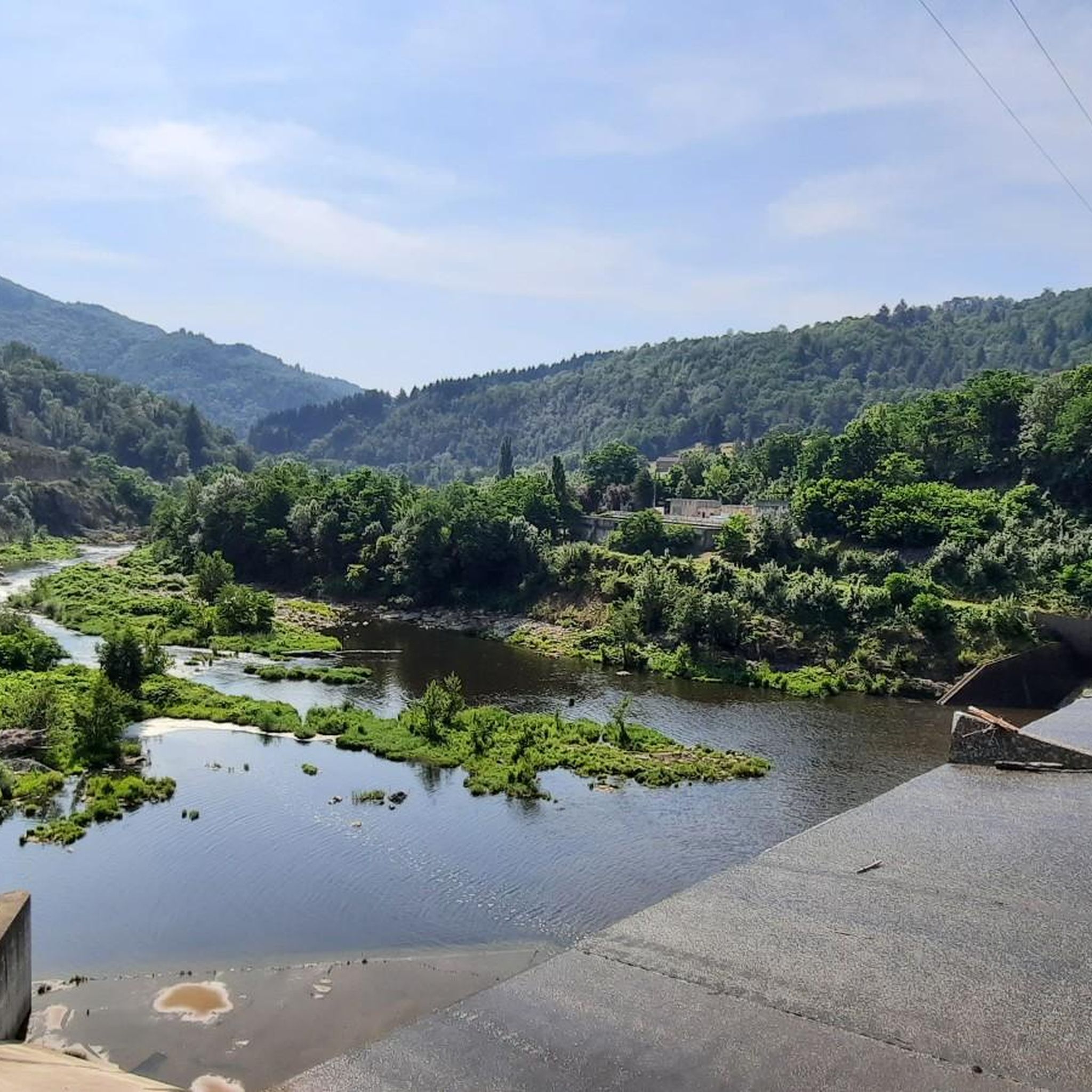
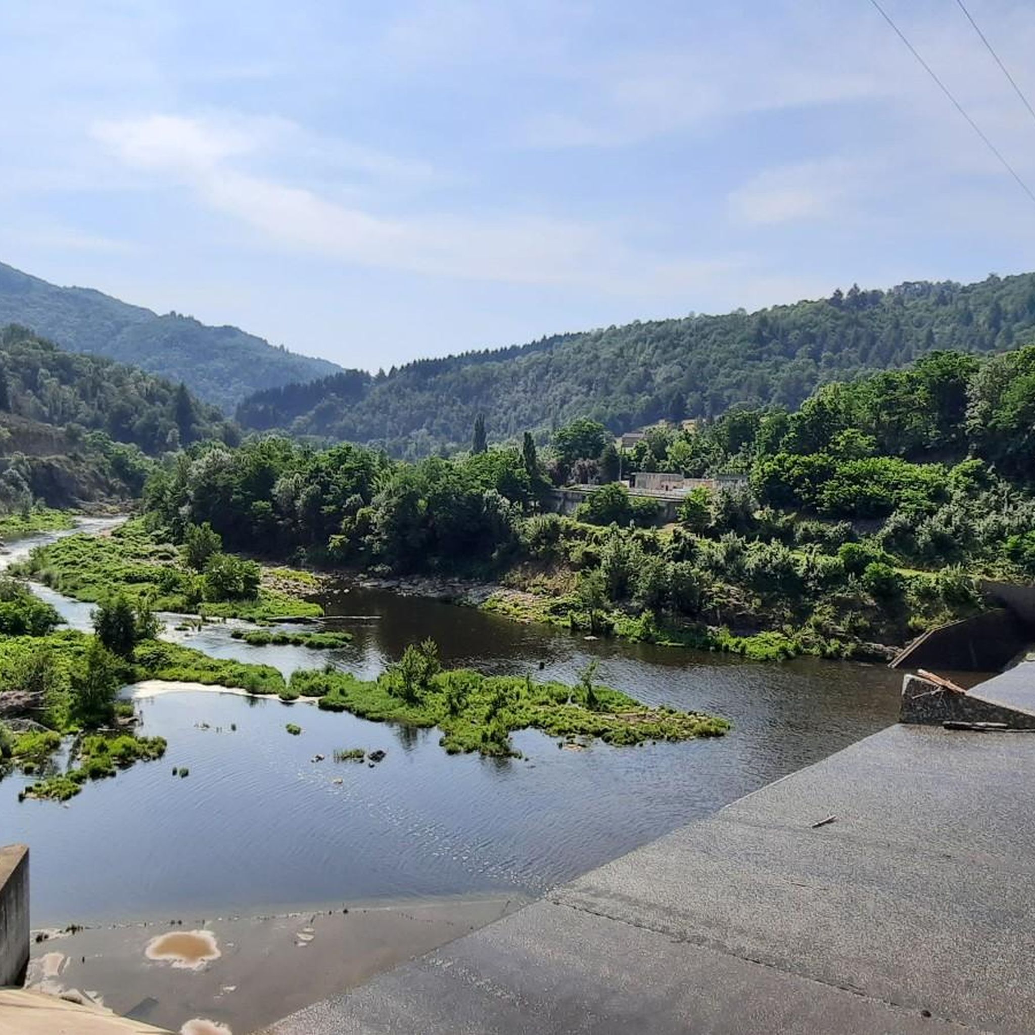
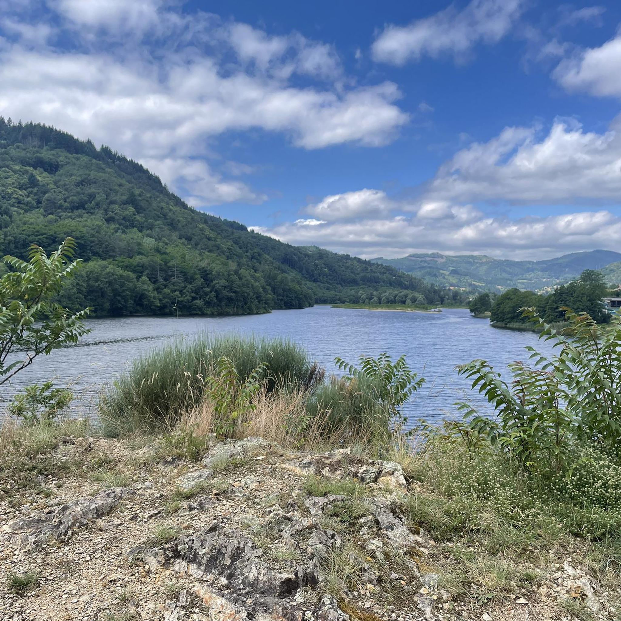
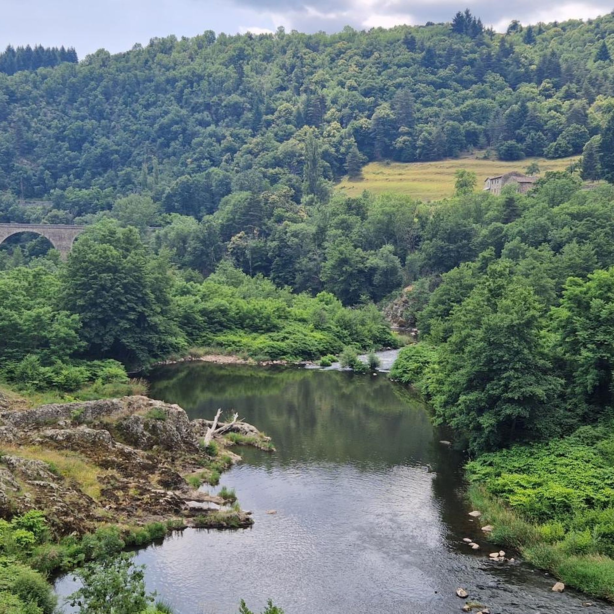
Hiking around Nonières offers diverse landscapes, from mountainous terrain with varied elevations to tranquil river valleys and dense forests. The region is characterized by the Ardèche mountains, the Sumène river, and features like the former railway line La Dolce Via. Hikers can explore a range of natural features, including Lake Collanges and historical railway infrastructure.
Best hiking trails around Nonières
- The most popular hiking route is Ruisseau du Devès – Rochebonne Castle loop from Saint-Jean-Roure, a 6.5 miles (10.5…
Last updated: October 16, 2026
3.5
(4)
13
hikers
10.5km
03:21
390m
390m
Hard hike. Good fitness required. Sure-footedness, sturdy shoes and alpine experience required.
13
hikers
15.1km
04:27
420m
420m
Moderate hike. Good fitness required. Easily walkable paths.

13
hikers
9.65km
03:08
430m
430m
Moderate hike. Good fitness required. Easily walkable paths.
5.0
(1)
10
hikers
5.62km
01:38
150m
150m
Easy hike. Easily walkable paths.
10
hikers
13.7km
03:52
290m
300m
Moderate hike. Good fitness required. Easily walkable paths.
Get access to more routes and recommendations from other explorers.
Already have an account?
Our route recommendations are based on thousands of hikes, rides, and runs completed by other people on komoot.
Start today with a free account
Your next adventure awaits.
Tips from the Community

A large, refreshing tunnel
0
0

The tunnel lights up automatically, great atmosphere
1
0

La Dolce Via lives up to its name. Very nice bike path. Many benches and picnic areas.
1
0

The ruins of Rochebonne castle, in the upper Eyrieux valley, are perched on a granite promontory dominating the left bank of the Eyrieux, 850 meters above sea level.
4
1


Beautiful scenery and views from the old railway line. Unfortunately, car traffic is also possible on the non-asphalted sections. The asphalt is partly old and bad, the non-asphalted sections are difficult to drive with luggage.
1
0

Be careful if you have to go to Nonières village you will have to take a very steep path at the exit of the tunnel
1
1

The longest of the tunnels, and the coolest!
1
0
Frequently Asked Questions
What types of landscapes can I expect to see while hiking around Nonières?
Nonières offers a diverse range of landscapes, from mountainous terrain with panoramic views of Les Collanges Lake and the Ardèche mountains to tranquil river valleys along the Sumène. You'll also find dense forests, and unique features like the former railway line, La Dolce Via, which provides a blend of natural beauty and historical infrastructure.
Are there any easy hiking trails suitable for beginners in Nonières?
Yes, Nonières offers a good selection of easy trails. Out of 115 routes, 32 are classified as easy. An example of an accessible route is The Code Bar loop from Belsentes, which is 5.6 km long and takes just under 1.5 hours to complete.
What are some notable natural features or landmarks to look out for on the trails?
Hikers can explore several interesting features. The Nonières Tunnel, a 320-meter illuminated passage on La Dolce Via, is a unique experience. You can also discover historical railway infrastructure like impressive viaducts, and enjoy views of Lake Devesset, a Natural Area of Ecological Interest surrounded by fir trees.
Are there any circular hiking routes available in Nonières?
Yes, many routes around Nonières are circular. For example, the moderate View From Rocher du Cheylard loop from Saint-Cierge-sous-le-Cheylard is a 9.7 km trail through forested areas with viewpoints. Another option is the longer, moderate La Dolce Via – Nonières Tunnel loop from Saint-Cierge-sous-le-Cheylard, covering over 15 km.
What do other hikers say about the trails in Nonières?
The hiking trails in Nonières are highly regarded by the komoot community, with an average rating of 4.4 stars from over 190 reviews. Hikers often praise the varied terrain, the mix of shaded and open areas, and the unique experience of walking along the former railway line, La Dolce Via.
Can I find trails that offer panoramic views in the Nonières area?
Absolutely. The region is known for its mountainous terrain, providing breathtaking views. Trails often offer vistas of Les Collanges Lake, the sweeping landscapes of the Boutières, and the Ardèche mountains. You might even spot iconic peaks like Mount Gerbier de Jonc and Mount Mézenc in the distance on clear days.
Are there any trails that follow river valleys or have a 'jungle vibe'?
Yes, some sections of trails, particularly those following the River Sumène, offer a varied hiking experience with alternating shaded and sunny segments amidst the trees. The region is noted for having a 'jungle vibe' in certain areas due to abundant moss and rocky terrain, providing a unique natural immersion.
What is La Dolce Via and how can I experience it while hiking?
La Dolce Via is a former railway line that has been transformed into a multi-purpose path, ideal for both cycling and walking. It offers a unique way to experience the region's natural beauty and historical infrastructure. You can hike sections of it, such as the moderate La Dolce Via – Nonières Tunnel loop from Saint-Cierge-sous-le-Cheylard, which includes the illuminated Nonières Tunnel.
Are there any challenging hikes for experienced trekkers in Nonières?
Yes, Nonières offers challenging routes for experienced hikers. There are 20 difficult trails available. One such route is the Ruisseau du Devès – Rochebonne Castle loop from Saint-Jean-Roure, a 10.5 km trail with significant elevation gain that takes over 3 hours to complete and offers views of Rochebonne Castle.
Are there any facilities or points of interest along the trails, like old train stations?
Yes, the historical railway infrastructure provides interesting points along the way. The Le Cheylard train station, for instance, serves as a convenient highlight for hikers, offering facilities like bicycle repair and charging, along with shady seating near a cafe or restaurant. You can also find the Old Lamastre train station.
What is the best time of year to go hiking in Nonières?
The Ardèche region generally offers pleasant hiking conditions from spring through autumn. Spring brings lush greenery and wildflowers, while autumn provides beautiful foliage. Summer can be warm, but trails along river valleys or through forests offer welcome shade. Always check local weather forecasts before heading out.
Are there opportunities to combine hiking with exploring charming villages?
Yes, the trails in the Nonières area often connect to attractive destinations. For example, the medieval village of Désaignes, classified as a 'village de caractère,' is nearby and can enrich your hiking experience with cultural exploration.
Most popular attractions around Nonières

Get inspired with the komoot mobile app


Explore more
Browse the best Hikes in other regions.
