The best MTB trails around Alteglofsheim
4.6
(539)
1,972
riders
219
rides
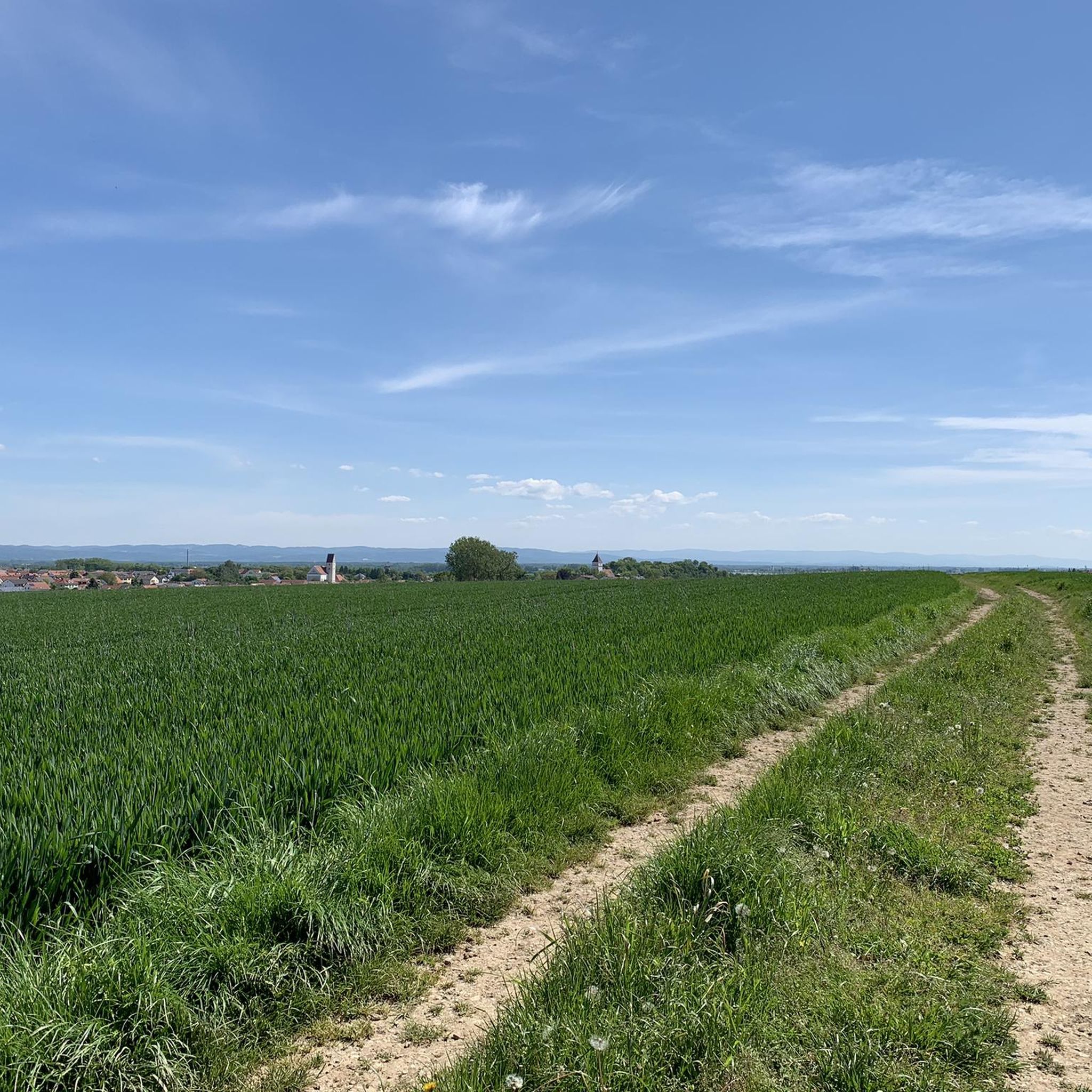
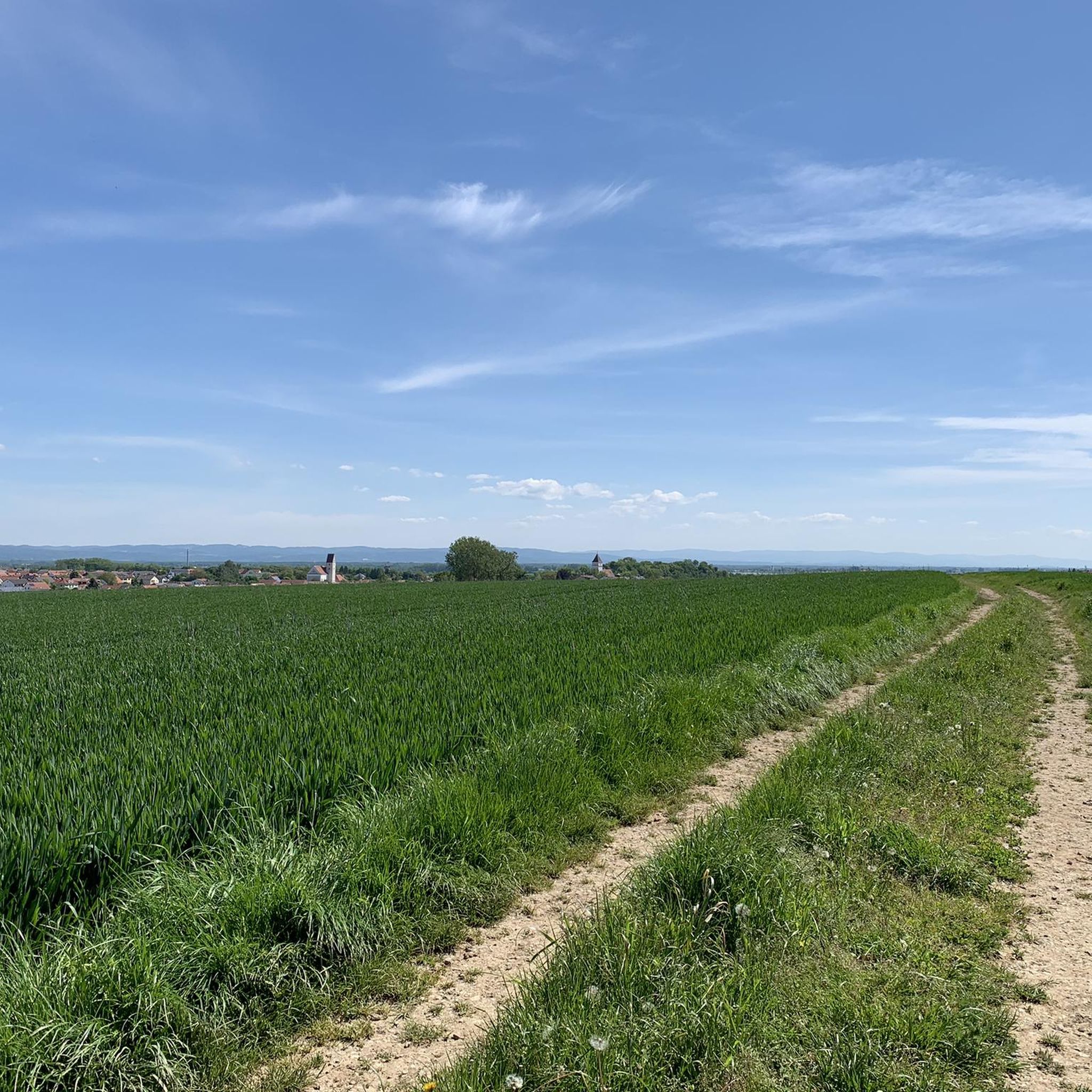
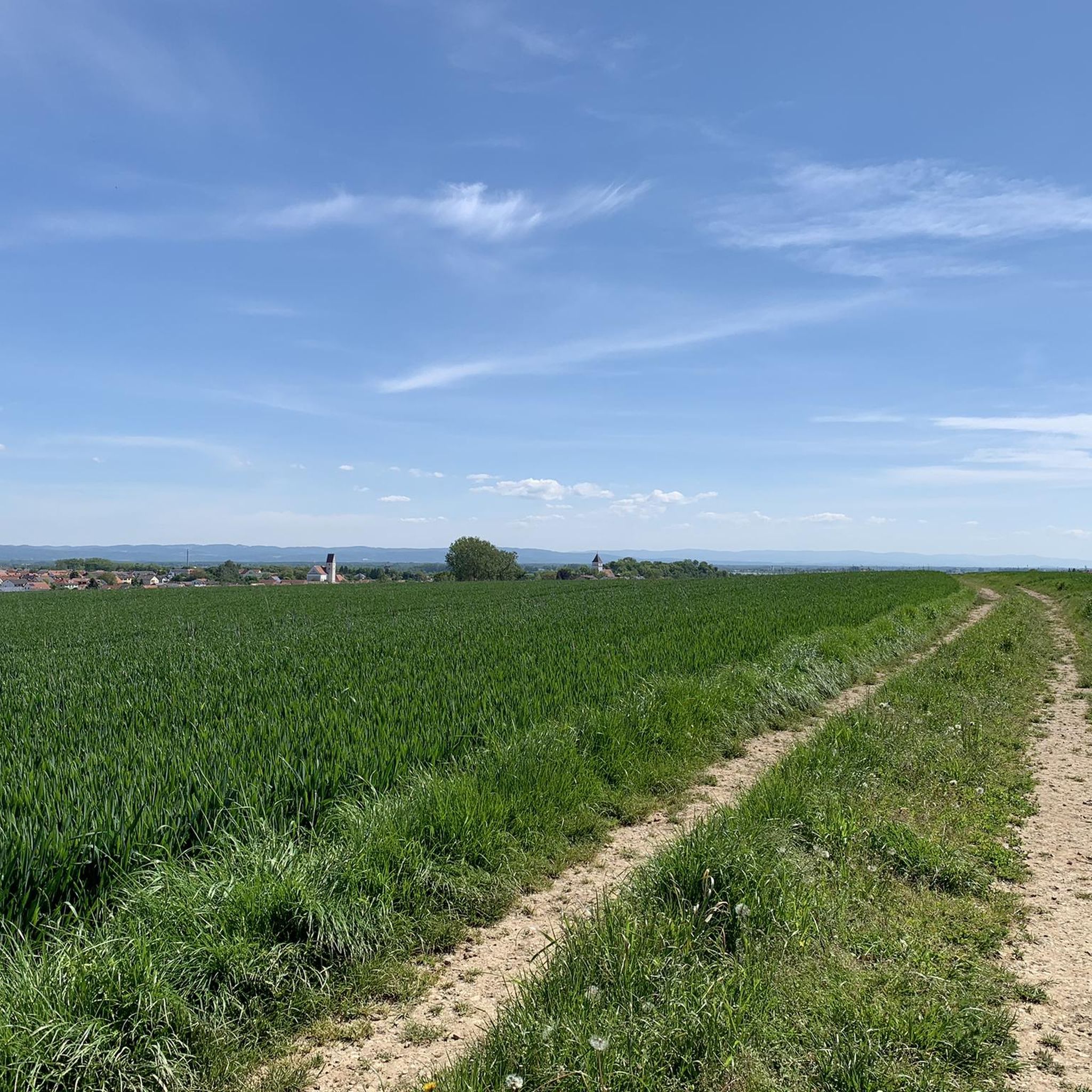
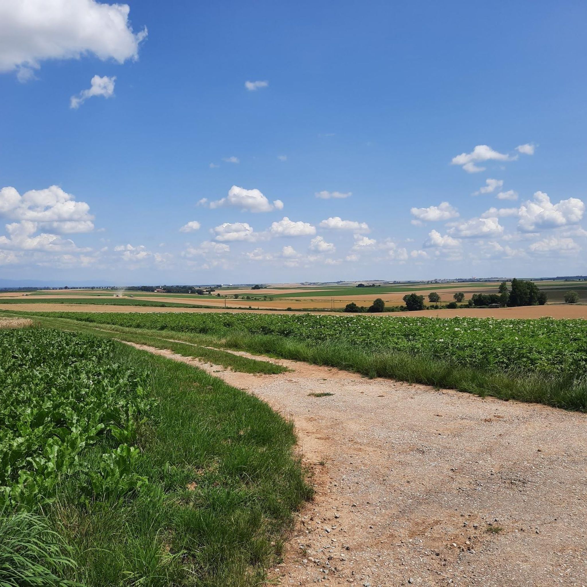
Mountain biking around Alteglofsheim features a landscape characterized by gentle hills, open fields, and sections of woodland, often in proximity to the Danube river. The region offers a variety of terrain suitable for different skill levels, with routes that include both paved and unpaved sections. Many trails are loop mountain bike trails, providing diverse scenery and elevation changes.
Best mountain bike trails around Alteglofsheim
- The most popular mountain bike trail is Balance and Fitness Trail – Oberhinkhofen Glider Airfield loop…
Last updated: July 5, 2026
4.5
(2)
16
riders
Moderate mountain bike ride. Great for any fitness level. Advanced riding skills necessary.
4.4
(10)
17
riders
49.5km
03:45
600m
600m
Moderate mountain bike ride. Good fitness required. Suitable for all skill levels.

Sign up for free
2.0
(1)
9
riders
39.9km
03:04
380m
380m
Moderate mountain bike ride. Good fitness required. Advanced riding skills necessary.
5.0
(1)
11
riders
46.5km
02:43
150m
150m
Moderate mountain bike ride. Good fitness required. Suitable for all skill levels.
5.0
(1)
5
riders
41.9km
03:10
450m
450m
Hard mountain bike ride. Good fitness required. Advanced riding skills necessary. Some portions of the route may require you to push your bike.
Get access to more routes and recommendations from other explorers.
Sign up for free
Already have an account?
Our route recommendations are based on thousands of hikes, rides, and runs completed by other people on komoot.
Start today with a free account
Your next adventure awaits.
Login or Signup

Tips from the Community

Whenever I cycle or walk over the bridge, I always stop for a while to enjoy the magical views of the mighty Danube.
1
0

This path along the banks of the Danube is recommended in any weather. You'll always see something new.
11
1


St. Wolfgang's Oak - Neueglofsheim The St. Wolfgang's Oak stands near Schloss Haus, near Neueglofsheim. The oak stands in a meadow next to a dirt road. It is one of the largest oaks in Bavaria. A horizontal branch has been supported by wooden posts towards the dirt road for over 100 years. In 1905, the trunk circumference was 8 m at a height of 1 m. According to legend, Saint Wolfgang preached eloquently from this branch. The monumental trunk is very irregular and has strong growths in the lower area. On one side, the trunk has an oval opening that comes from a branch breaking a long time ago. The oak burned in 1878 and 1909. In 1909, it burned on St. Wolfgang's Day. The crown is formed by a few, quite large branches. Holes can be seen everywhere in the branches, which come from smaller branches that have broken off. The vitality is still quite good considering the relatively old age of the oak. Height: 385 m above sea level Tree species: Pedunculate oak Age: around 500 years Chest height: 9.80 m Waist circumference: 9.03 m Height of the tree: 18 m Crown diameter: 15 m Year of measurements: 2021 Source: www.monumentale-eichen.de
7
0

ND-Nr. 46 (running number in the LKR Regensburg) Interesting web links: https://www.monumentale-eichen.de/bayern/schloss-haus/ https://de.m.wikipedia.org/wiki/Sankt-Wolfgangs-Eiche https://www.baumkunde.de/baumregister/1555-sankt_wolfgangs_eiche_bei_schloss_haus/ https://nationalerbe-baeume.de/project/wolfgangseiche-thalmassing-bei-regensburg-bayern/
8
0

From there you can let your gaze wander over the valley. Beautiful.
5
1
This view is phenomenal 👍🏼😊
5
1
Frequently Asked Questions
How many mountain bike trails are available around Alteglofsheim?
There are over 200 mountain bike routes around Alteglofsheim, offering a wide range of options for different skill levels and preferences. More than 2000 mountain bikers have already explored the area using komoot.
What kind of terrain can I expect on mountain bike trails in Alteglofsheim?
The region features a diverse landscape with gentle hills, open fields, and sections of woodland, often close to the Danube river. You'll find a mix of paved and unpaved sections, river valleys, and agricultural land, providing varied scenery and elevation changes.
Are there easy mountain bike trails suitable for beginners in Alteglofsheim?
Yes, Alteglofsheim offers a good selection of trails for beginners. There are 57 easy routes available, characterized by less challenging terrain and manageable distances. These are perfect for those new to mountain biking or looking for a relaxed ride.
Are there any challenging mountain bike trails for advanced riders?
Absolutely. For experienced mountain bikers seeking a challenge, there are 20 difficult routes around Alteglofsheim. These trails often feature significant elevation gains and more technical sections. An example is the Wolfgang Oak – Haus Castle loop from Köfering, which covers 40.6 km with over 330 meters of elevation gain.
What do other mountain bikers enjoy most about the trails in Alteglofsheim?
The mountain bike routes in Alteglofsheim are highly rated by the komoot community, with an average score of 4.6 stars from almost 500 reviews. Riders often praise the varied terrain, the scenic views, and the well-maintained paths that cater to different abilities.
Are there mountain bike trails that offer scenic viewpoints or natural landmarks?
Many trails in Alteglofsheim pass by scenic spots and natural landmarks. For instance, the Balance and Fitness Trail – Oberhinkhofen Glider Airfield loop from Köfering offers open views, while the View of the Danube – Danube Bridge Schwabelweis loop from Köfering provides beautiful vistas of the Danube river. You can also find highlights like the St. Wolfgang's oak or the Sulphur Spring in Aubachpark along various routes.
Are there any historical sites or castles to see along the mountain bike routes?
Yes, the region is rich in history. Some routes, like the difficult Wolfgang Oak – Haus Castle loop from Köfering, pass by historical sites and natural landmarks. You can also find several castles nearby, such as Köfering Castle and Alteglofsheim Castle, which are often accessible from or visible along the trails.
Are there loop mountain bike trails in Alteglofsheim?
Yes, many of the mountain bike trails around Alteglofsheim are designed as loops, providing diverse scenery without retracing your steps. Examples include the Schloss Haus – Wooden Bridge Over the Laber loop from Thalmassing and the St. Georg Chapel – St. Wolfgang's oak loop from Köfering.
What is the best season for mountain biking in Alteglofsheim?
The best season for mountain biking in Alteglofsheim is generally from spring to autumn (April to October). During these months, the weather is typically mild, and the trails are in optimal condition. While winter riding is possible, some paths might be muddy or icy, and daylight hours are shorter.
Are there any trails that feature unique natural elements like wooden bridges?
Yes, some routes incorporate interesting natural and man-made features. For example, the Schloss Haus – Wooden Bridge Over the Laber loop from Thalmassing leads through varied terrain and includes a distinctive wooden bridge over the Laber river, adding to the route's charm.
What are the typical distances and elevation gains for mountain bike trails in Alteglofsheim?
Trail distances vary significantly, from shorter easy routes to longer, more challenging ones. For instance, a moderate trail like the Balance and Fitness Trail – Oberhinkhofen Glider Airfield loop from Köfering is about 24.8 km with around 159 meters of elevation gain. More difficult routes, such as the St. Georg Chapel – St. Wolfgang's oak loop from Köfering, can be over 40 km long with more than 450 meters of climbing.
Most popular routes around Alteglofsheim
Most popular attractions around Alteglofsheim

Get inspired with the komoot mobile app


Explore more
Browse the best MTB trails in other regions.
