The best walks and hikes around Wölflingen Bei Busendorf
4.5
(5354)
20,348
hikers
570
hikes
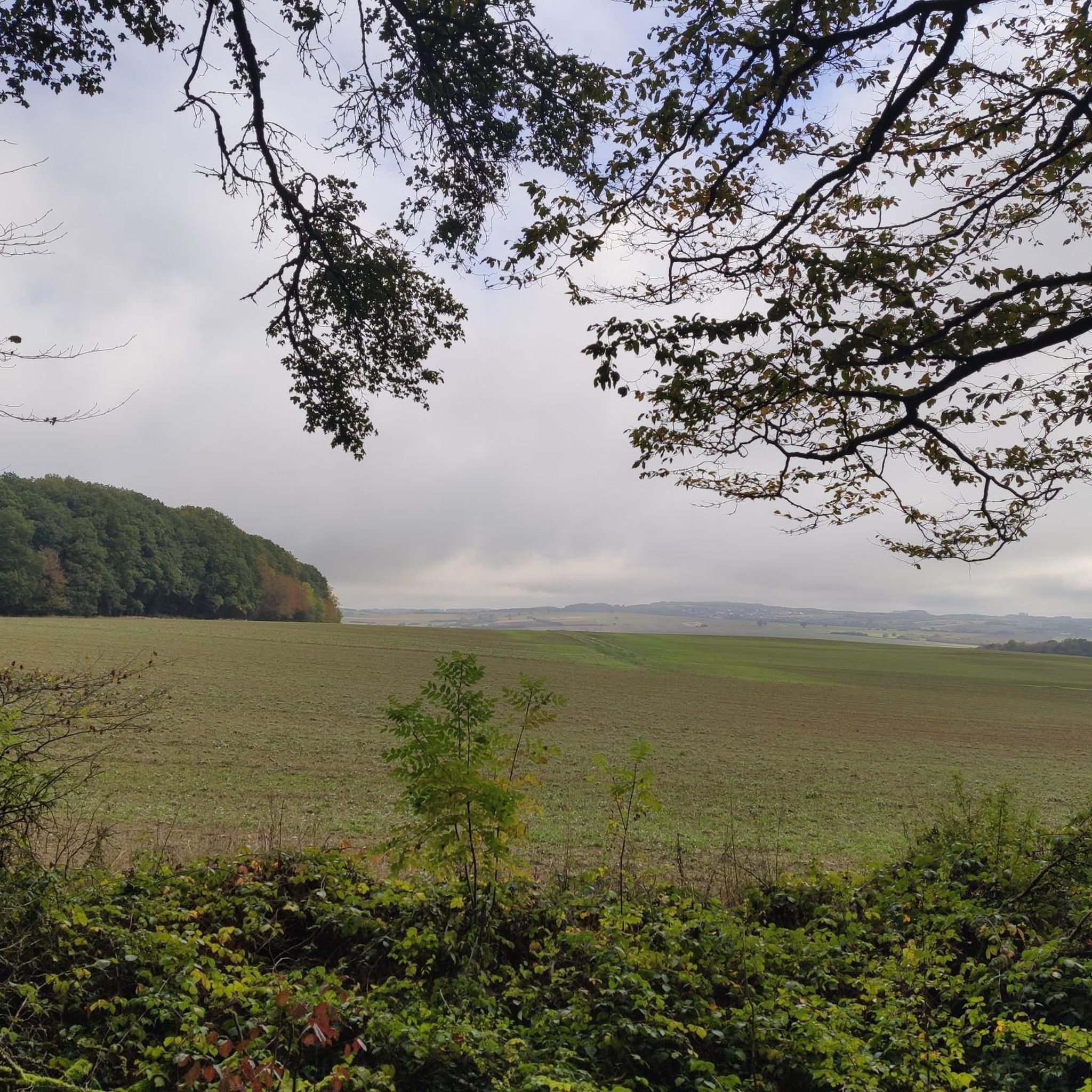
Hiking around Wölflingen Bei Busendorf offers a network of trails through a landscape characterized by gentle hills and open countryside, often tracing historical border routes. The region features a mix of agricultural land and small wooded areas, providing varied scenery for outdoor activities. Elevation changes are generally moderate, making many routes accessible for different fitness levels. The area's proximity to the border adds a unique historical dimension to its natural surroundings.
Best hiking trails around Wölflingen Bei Busendorf
- The most…
Last updated: July 19, 2026
4.6
(167)
570
hikers
Moderate hike. Good fitness required. Easily-accessible paths. Suitable for all skill levels.
4.6
(16)
53
hikers
Easy hike. Great for any fitness level. Easily-accessible paths. Suitable for all skill levels.

Sign up for free
4.5
(15)
49
hikers
Easy hike. Great for any fitness level. Easily-accessible paths. Suitable for all skill levels.
3.8
(5)
8
hikers
5.97km
01:37
80m
80m
Easy hike. Great for any fitness level. Easily-accessible paths. Suitable for all skill levels.
5.0
(2)
14
hikers
Moderate hike. Good fitness required. Easily-accessible paths. Suitable for all skill levels.
Get access to more routes and recommendations from other explorers.
Sign up for free
Already have an account?
Our route recommendations are based on thousands of hikes, rides, and runs completed by other people on komoot.
Start today with a free account
Your next adventure awaits.
Login or Signup
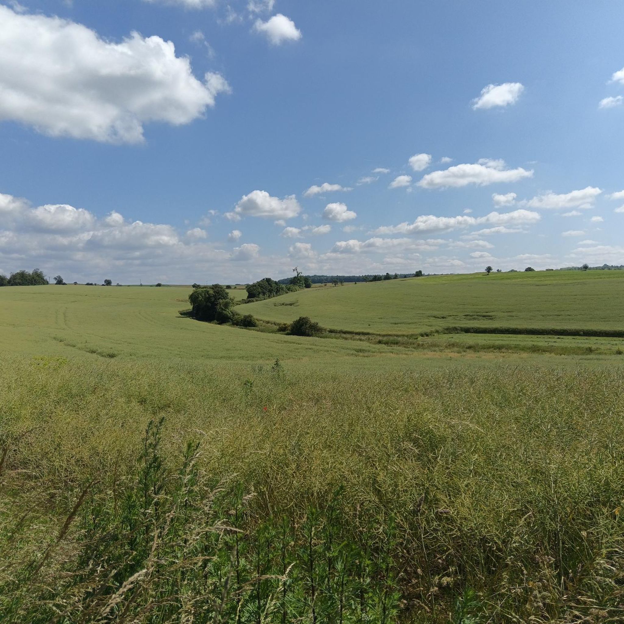
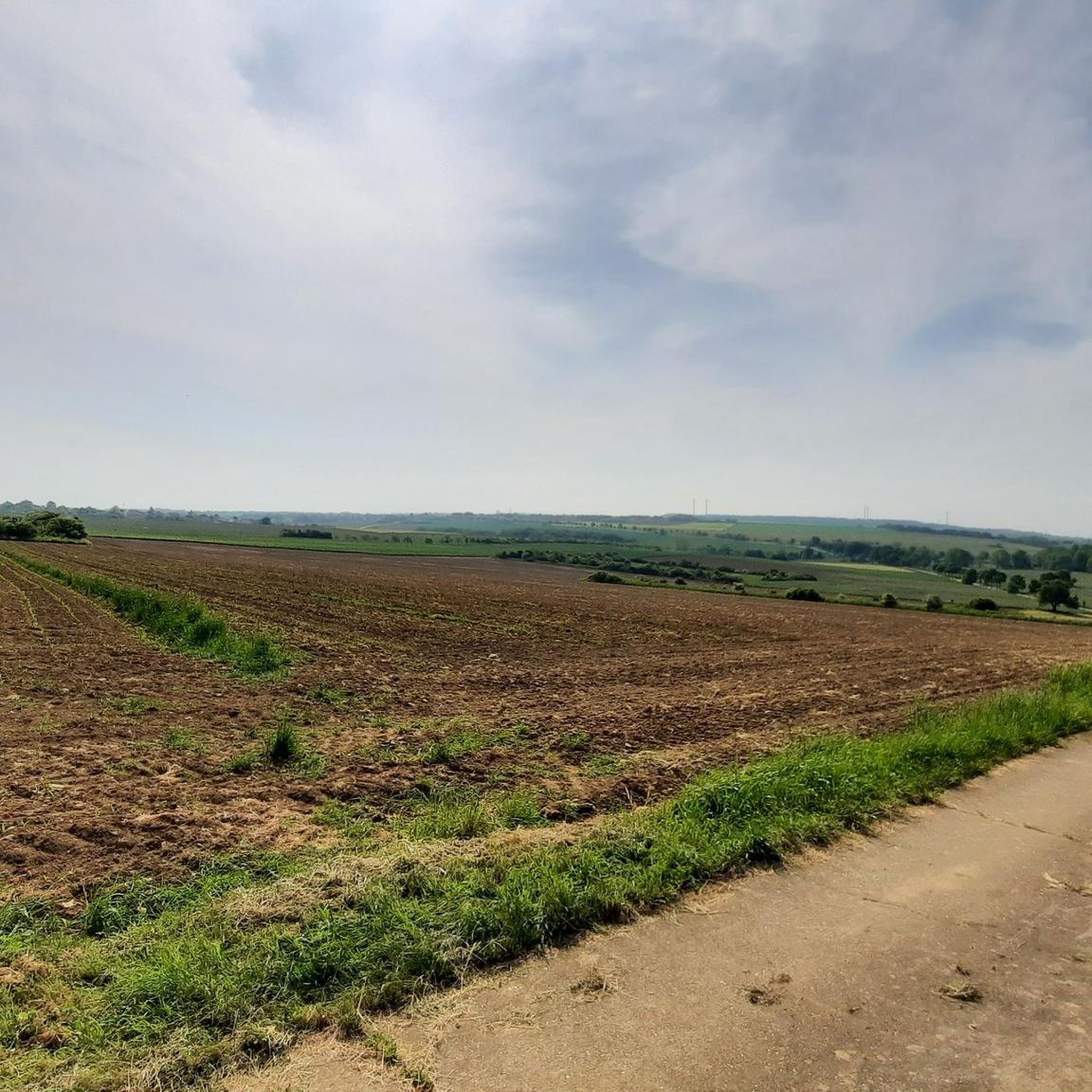
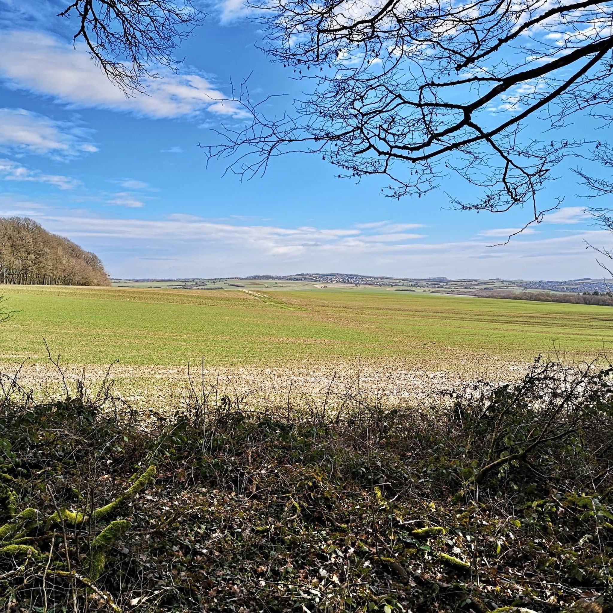
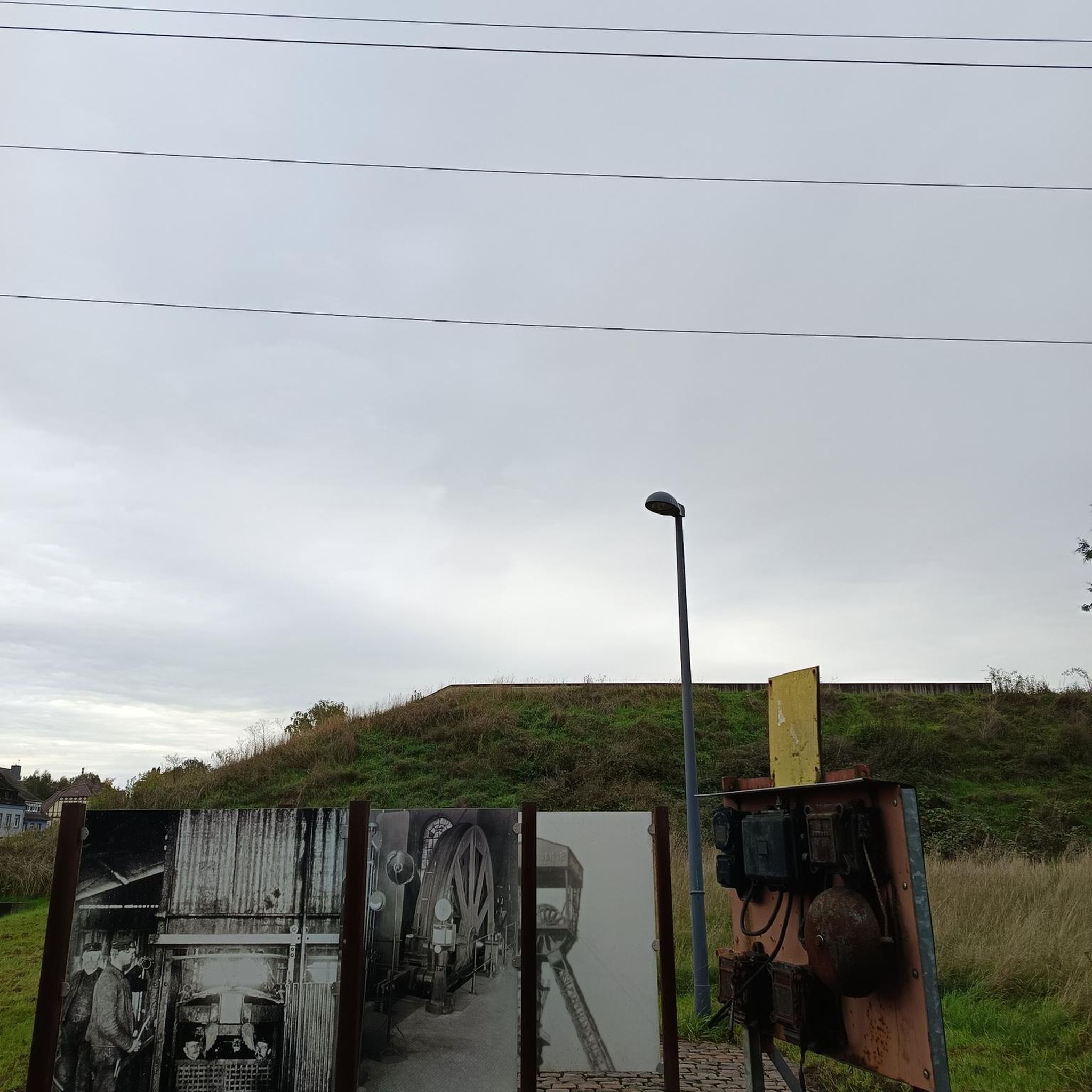
Tips from the Community

Great stream that flows into the Ihner Weiher.
1
0
Idyllic pond complex with fishing hut of ASV Ihn-Leidingen and the dream loop Grenzblickweg trail running there.
1
0
The bank is now in need of some renovation.
1
0
Beautiful view of the town from the edge of the forest.
1
0
The border view windows represent the boundlessness of the place - not only in terms of its relationship with its French neighbors, but also in terms of the magnificent panoramas that await guests when they look through the beautiful windows.
1
0

A very nice idea with the windows
1
0
Also worth seeing from the inside
0
0
A great church that was fortunately open
1
0
Frequently Asked Questions
How many hiking trails are available around Wölflingen Bei Busendorf?
There are nearly 600 hiking trails around Wölflingen Bei Busendorf. The region offers a diverse network of paths, ranging from easy strolls to more challenging routes, catering to various fitness levels.
Are there easy hiking trails suitable for beginners or families?
Yes, Wölflingen Bei Busendorf has a good selection of easy trails. Over 350 routes are classified as easy. A great option for families or beginners is the Saint Joan of Arc Church – Leidingen Border Street loop from Vœlfling-lès-Bouzonville, which is 3.2 miles (5.2 km) long and explores local landmarks.
What kind of terrain can I expect on hikes in this region?
The hiking trails around Wölflingen Bei Busendorf are characterized by gentle hills and open countryside. You'll often find paths tracing historical border routes, with a mix of agricultural land and small wooded areas. Elevation changes are generally moderate, making the landscape accessible for many.
Are there any challenging hikes for experienced trekkers?
While the region is known for its gentle terrain, there are a few more challenging options. There are 14 routes classified as difficult. These trails typically feature longer distances and more significant elevation gains compared to the easier paths in the area.
What are the typical durations for hikes around Wölflingen Bei Busendorf?
Hike durations vary widely. Many easy routes, like the Château-Rouge loop from Vœlfling-lès-Bouzonville, can be completed in under 2 hours. Moderate trails, such as the View of the Border Window – Leidingen Border Street loop from Vœlfling-lès-Bouzonville, often take around 2 hours 47 minutes, while longer routes can extend to 3-4 hours or more.
Are there any circular hiking routes available?
Yes, many of the trails in Wölflingen Bei Busendorf are circular, offering convenient starting and ending points. For instance, the View of the Border Window – Saint Joan of Arc Church loop from Heining-lès-Bouzonville is a popular circular route that allows you to return to your starting point without retracing your steps.
What attractions or landmarks can I see along the hiking trails?
The region offers several points of interest. You might encounter historical sites related to the border, or natural features like the Travertine Steps on the Idesbach Trail. Nearby, you can also explore the Devil's Castle (Felsberg) or various lakes such as Taffing Pond.
Is Wölflingen Bei Busendorf a good destination for dog-friendly hiking?
Yes, the open countryside and numerous trails make Wölflingen Bei Busendorf generally suitable for hiking with dogs. Many paths are through fields and wooded areas, providing ample space for your canine companion. Always remember to keep dogs on a leash where required and clean up after them.
What is the best time of year to go hiking in Wölflingen Bei Busendorf?
The region is enjoyable for hiking throughout much of the year. Spring and autumn offer pleasant temperatures and beautiful scenery with blooming flowers or colorful foliage. Summer is also popular, though some trails may be more exposed to the sun. Winter hiking is possible, but conditions can vary, so check local weather forecasts.
Are there options for refreshments or pub stops along the trails?
While specific pub stops directly on every trail are not guaranteed, the region has villages and towns where you can find places to eat and drink. The Wackenmühle on the Nied is one such establishment that can be incorporated into a hike or visited nearby.
What do other hikers enjoy most about hiking in Wölflingen Bei Busendorf?
The area is highly rated by the komoot community, with an average score of 4.5 stars from over 4,800 reviews. Reviewers often praise the peaceful, varied terrain, the well-maintained paths, and the unique experience of hiking along historical border routes through gentle hills and open landscapes.
Is public transport available to access hiking trails in the area?
Public transport options exist to reach some of the starting points for hikes in Wölflingen Bei Busendorf and its surrounding villages. It's advisable to check local bus schedules and routes in advance to plan your journey effectively, especially for specific trailheads.
Most popular routes around Wölflingen Bei Busendorf
Most popular attractions around Wölflingen Bei Busendorf

Get inspired with the komoot mobile app


Explore more
Browse the best Hikes in other regions.
