The best mountain hikes around Sankt Pankraz - San Pancrazio
4.8
(228)
2,020
hikers
102
hikes
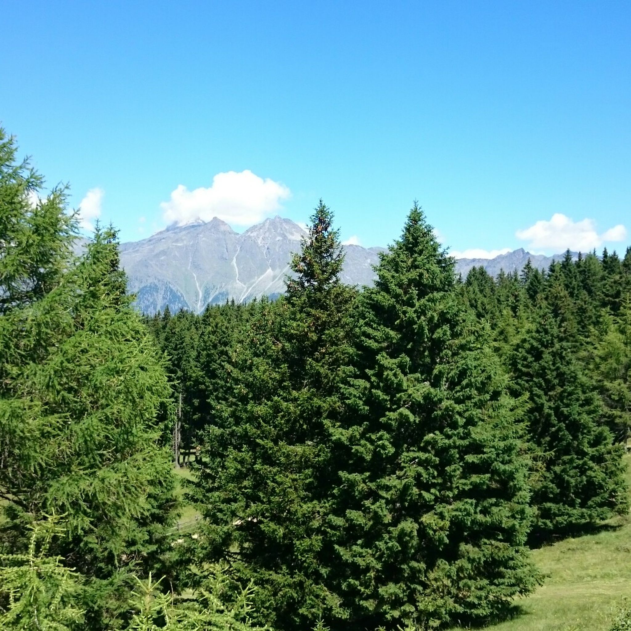
Mountaineering routes around Sankt Pankraz - San Pancrazio are set within the Ultental valley (Val d'Ultimo) in South Tyrol, Italy, characterized by a diverse and dramatic alpine landscape. The region features numerous mountain peaks, including the Hochwart (2608 meters) and Rauhebühel (2026 meters), alongside the wild Maddalene and Sarentino Alps. Natural features like the San Pancrazio Reservoir and dense forests contribute to the varied terrain, with parts of the valley located within the Stelvio National Park.
Best mountaineering routes around…
Last updated: July 21, 2026
4.5
(12)
98
hikers
Hard mountaineering route. Very good fitness required. Sure-footedness, sturdy shoes and alpine experience required.
5.0
(1)
36
hikers
9.79km
05:43
1,000m
1,000m
Hard mountaineering route. Very good fitness required. Sure-footedness, sturdy shoes and alpine experience required.

Sign up for free
5.0
(1)
34
hikers
Hard mountaineering route. Good fitness required. Sure-footedness, sturdy shoes and alpine experience required.
4.8
(5)
29
hikers
Moderate mountaineering route. Good fitness required. Mostly accessible paths. Sure-footedness required.
5.0
(4)
23
hikers
11.7km
05:59
1,050m
1,050m
Hard mountaineering route. Very good fitness required. Sure-footedness, sturdy shoes and alpine experience required.
Get access to more routes and recommendations from other explorers.
Sign up for free
Already have an account?
Our route recommendations are based on thousands of hikes, rides, and runs completed by other people on komoot.
Start today with a free account
Your next adventure awaits.
Login or Signup
Popular around Sankt Pankraz - San Pancrazio

Tips from the Community

The Laugensee (Italian: Lago del Luco) is an idyllic, circular mountain lake in South Tyrol at an altitude of 2,182 meters. It is located in a hollow at the foot of the Laugenspitze on the border between Burggrafenamt and the Val di Non. The lake is a popular hiking destination and offers an impressive panorama of the Etschtal valley and the surrounding mountains.
0
0
The Laugenspitze (Italian: Monte Luco) at 2,434 meters is the highest mountain in the Nonsberg Group in South Tyrol. The striking porphyry double peak consists of the Große Laugen (2,434 m) and the Kleine Laugen (2,297 m), which are separated by the picturesque Laugensee (2,182 m). Due to its freestanding location, it offers an excellent viewing platform over the Etschtal valley, the Meraner Land region, the Vinschgau valley, and as far as the Dolomites.
0
0

The sign indicates: If you want to get to the Laugen quickly, take this route. And it starts off steeply!
0
0
A beautiful weather cross with a bench accompanies the start and end of the mountain tour.
0
0
One of the few flat sections of the mountain hike leads past a small raised bog.
1
0
In the middle of the forest, a large boulder lies in a small clearing and serves as a good marker: You've already covered a good distance here and can gradually look forward to emerging from the forest onto the first open alpine meadow. With children, this is also suitable for a short break for a drink and a climb.
0
0
Frequently Asked Questions
How many mountaineering routes are available in Sankt Pankraz - San Pancrazio?
Sankt Pankraz - San Pancrazio offers a wide selection of mountaineering routes, with over 100 options. These include 1 easy route, 46 moderate routes, and 64 difficult routes, catering to various skill levels.
Are there any easy mountaineering routes suitable for beginners or those seeking a less strenuous experience?
While most mountaineering routes in the region are moderate to difficult, there is one easy route available. Additionally, there are 46 moderate routes that offer a less strenuous experience than the high-alpine challenges, often leading through dense forests and scenic valleys.
What kind of challenging mountaineering routes can I find in Sankt Pankraz - San Pancrazio?
For experienced mountaineers, Sankt Pankraz - San Pancrazio offers 64 difficult routes. These often involve significant elevation gain and high-alpine terrain, such as the Laugenalm – Laugen Lake loop from Gampenpass - Passo delle Palade or the Lake Laugen – Laugen Lake loop from Gampenpass - Passo delle Palade, both known for their demanding ascents and panoramic views.
Are there any circular mountaineering routes in the area?
Yes, many routes in Sankt Pankraz - San Pancrazio are designed as loops, allowing you to start and end at the same point. Examples include the Schwarze Lacke Biotope – Church of St. Vigilio loop from Oberhöfe - Masi di Sopra, which takes you through varied landscapes and past historical sites, or the challenging Laugen Summit Cross loop from Passo Castrin - Hofmahdjoch.
What are some notable natural features or landmarks I might encounter on the mountaineering routes?
The routes in Sankt Pankraz - San Pancrazio often lead past stunning natural features. You might encounter the serene San Pancrazio Reservoir, the picturesque Lago di Pancrazio, or dense alpine forests. Parts of the Ultental valley are also within the Stelvio National Park, offering opportunities to spot rare wildlife like ibexes and marmots.
Are there any routes that offer panoramic viewpoints?
Absolutely. The region is rich with breathtaking vistas. Many mountaineering routes provide stunning views of the Ultental valley, the Ortler group, and even the main Alpine ridge. Specific viewpoints like Knottnkino on Rotsteinkogel or the View of Merano are accessible via various trails, offering expansive panoramas of the South Tyrolean landscape.
What do other mountaineers say about the routes in Sankt Pankraz - San Pancrazio?
The mountaineering routes in Sankt Pankraz - San Pancrazio are highly regarded by the komoot community, holding an impressive average rating of 4.8 out of 5 stars from over 240 reviews. Mountaineers frequently praise the diverse terrain, the dramatic alpine scenery, and the well-maintained paths that lead to stunning peaks and serene mountain lakes.
Can I combine mountaineering with cultural sightseeing in Sankt Pankraz - San Pancrazio?
Yes, the region beautifully blends outdoor activity with cultural exploration. Some routes pass by historical attractions such as Eschenlohe Castle, the St. Helena Church, or the parish church with its distinctive Gothic tower. The Ultner Talweg, a 24 km circular trail, also allows you to explore old buildings and farms, offering a glimpse into local heritage.
What is the best time of year for mountaineering in Sankt Pankraz - San Pancrazio?
The prime season for mountaineering in Sankt Pankraz - San Pancrazio is typically from late spring to early autumn (June to September), when the weather is most stable and the high-alpine trails are clear of snow. However, some lower-altitude routes and forest paths can be enjoyed earlier or later in the season.
Are there options for winter activities in Sankt Pankraz - San Pancrazio?
While this guide focuses on mountaineering, Sankt Pankraz - San Pancrazio is also active in winter. Many paths are suitable for winter walks, and the region offers opportunities for cross-country skiing, downhill skiing at the Schwemmalm Ski Area, ice skating, and tobogganing in nearby Santa Valburga and Pracupola.
Are there any multi-day mountaineering treks available in the Ultental valley?
The Ultental valley offers possibilities for multi-day treks, allowing for deeper exploration of its diverse alpine landscape. While specific multi-day routes are not detailed here, the extensive network of trails, including challenging high-alpine paths like the Falkomaier high-alpine path, can be combined for longer adventures, often utilizing mountain huts for overnight stays.
What are some of the highest peaks accessible for mountaineering in the region?
The region boasts numerous impressive peaks for mountaineering. Prominent mountains forming the 'frame' of the Ultental valley include the Hochwart (2608 meters) and the Rauhebühel (2026 meters), both part of the majestic Ortler group. The wild Maddalene mountain range and the Sarentino Alps also offer rewarding ascents.
Most popular routes around Sankt Pankraz - San Pancrazio
Most popular attractions around Sankt Pankraz - San Pancrazio

Get inspired with the komoot mobile app


Explore more
Browse the best Mountain Hikes & Routes in other regions.
