The best mountain hikes around Lake Garda
4.8
(1164)
8,685
hikers
193
hikes
Mountaineering routes around Lake Garda are defined by a unique blend of Mediterranean and Alpine environments. The region's northern reaches are dramatically fjord-like, carved into the Alps, while the southern part expands into a wider basin framed by morainic hills. This topography, shaped by ancient glacial activity, has sculpted numerous torrents, gorges, and limestone cliffs, providing an ideal setting for mountaineering. Monte Baldo, reaching 2200 meters, is the highest peak overlooking the lake, offering expansive panoramic views.
Best mountaineering routes around Lake Garda
- The most popular mountaineering route is Colodri Via Ferrata – Colodri Karst Landscape loop from Arco, a difficult 2.8 miles (4.5 km) trail that takes 1 hour 48 minutes to complete. This route explores the unique karst landscape near Arco, a renowned climbing area.
- Another top favourite among local mountaineers is Via Ferrata Fausto Susatti – Cima Capi loop from Riva del Garda, a difficult 5.4 miles (8.7 km) path. This route offers challenging ascents and panoramic views over Lake Garda from Cima Capi.
- Local mountaineers also love the Santa Barbara Chapel and Hut – Via Ferrata dell'Amicizia loop from Riva del Garda, a 6.8 miles (10.9 km) trail leading through the classic Via Ferrata dell'Amicizia, often completed in about 6 hours 39 minutes.
- Mountaineering around Lake Garda is defined by dramatic fjord-like valleys, limestone cliffs, and the alpine environment of peaks like Monte Baldo. The network offers options for various ability levels, including numerous via ferrata and rock climbing opportunities.
- The routes in Lake Garda are highly rated by the komoot community with an average score of 4.8 stars from over 1,100 reviews. More than 8,600 mountaineers have used komoot to explore Lake Garda's varied terrain.
Last updated: October 9, 2026
4.7
(149)
1,142
hikers
6.30km
02:17
240m
240m
Hard mountaineering route. Good fitness required. Sure-footedness, sturdy shoes and alpine experience required.
4.8
(144)
1,210
hikers
5.00km
01:59
250m
260m
Hard mountaineering route. Great for any fitness level. Sure-footedness, sturdy shoes and alpine experience required.

4.9
(37)
214
hikers
8.19km
05:41
990m
990m
Hard mountaineering route. Very good fitness required. Sure-footedness, sturdy shoes and alpine experience required.
4.7
(91)
579
hikers
10.8km
06:36
1,140m
1,140m
Hard mountaineering route. Very good fitness required. Sure-footedness, sturdy shoes and alpine experience required.
4.9
(42)
340
hikers
13.6km
07:39
1,220m
1,220m
Hard mountaineering route. Very good fitness required. Sure-footedness, sturdy shoes and alpine experience required.
Get access to more routes and recommendations from other explorers.
Already have an account?
Our route recommendations are based on thousands of hikes, rides, and runs completed by other people on komoot.
Start today with a free account
Your next adventure awaits.
Popular around Lake Garda
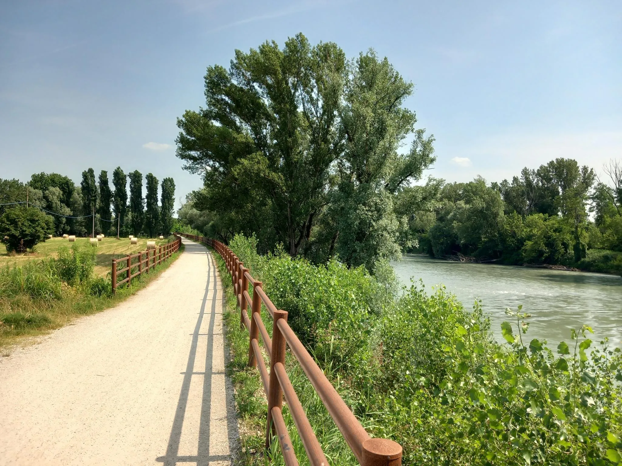
Via Postumia – Hike between the Tyrrhenian and Adriatic seas
Road to BAM! 2026 – Condividi la strada
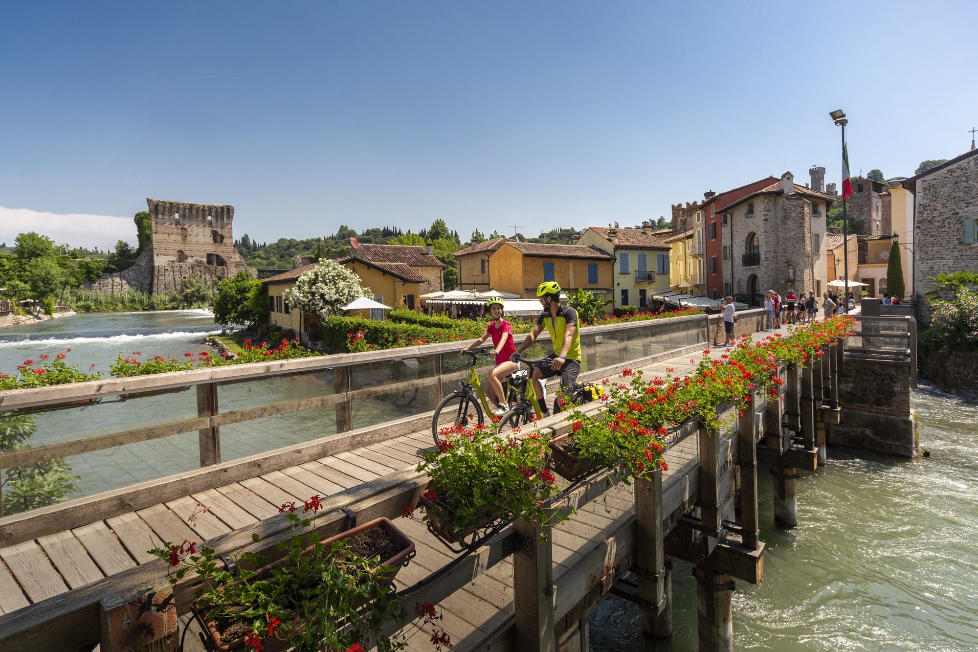
Explore Veneto at a slow pace – day trips by bike
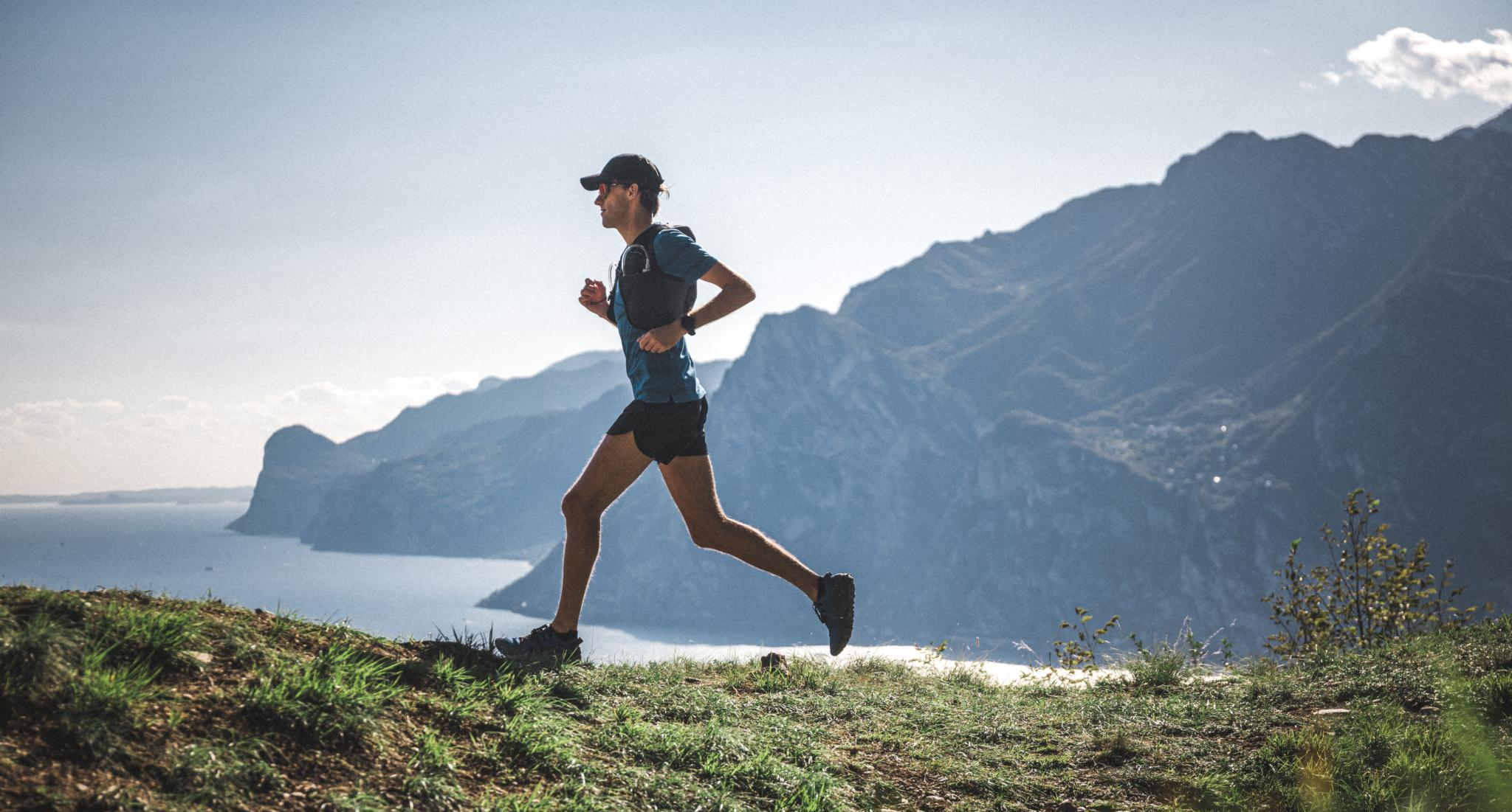
Trail running in Garda Trentino – the best trails all year round
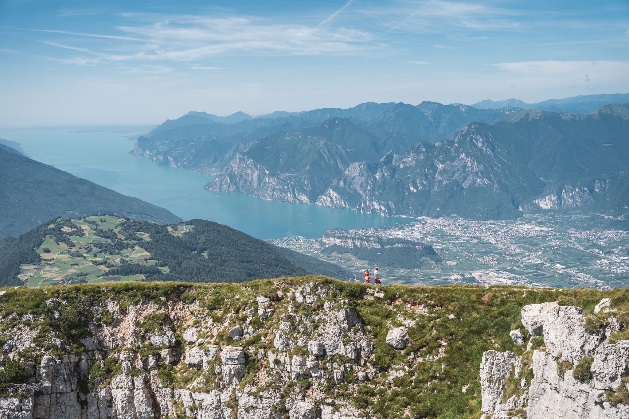
Trails and panoramas – hiking in Garda Trentino
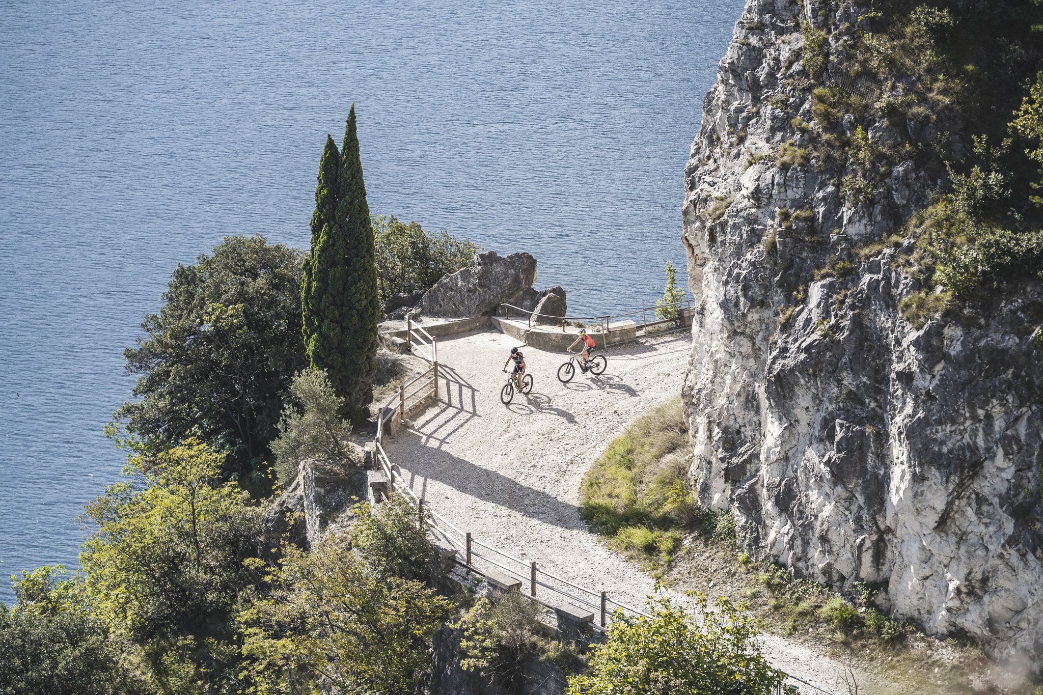
MTB in Garda Trentino – trails, panoramas and fun
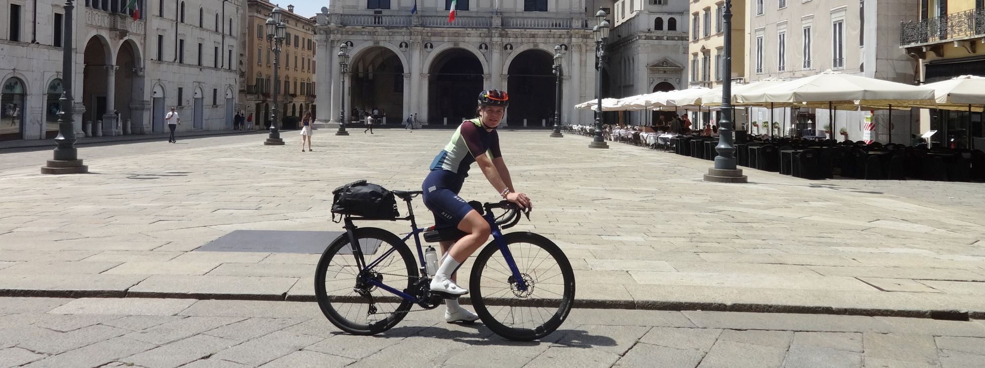
The Pizza Pilgrimage – Milan to Naples, fuelled by pizza

The Path of Peace – journey into Trentino's history
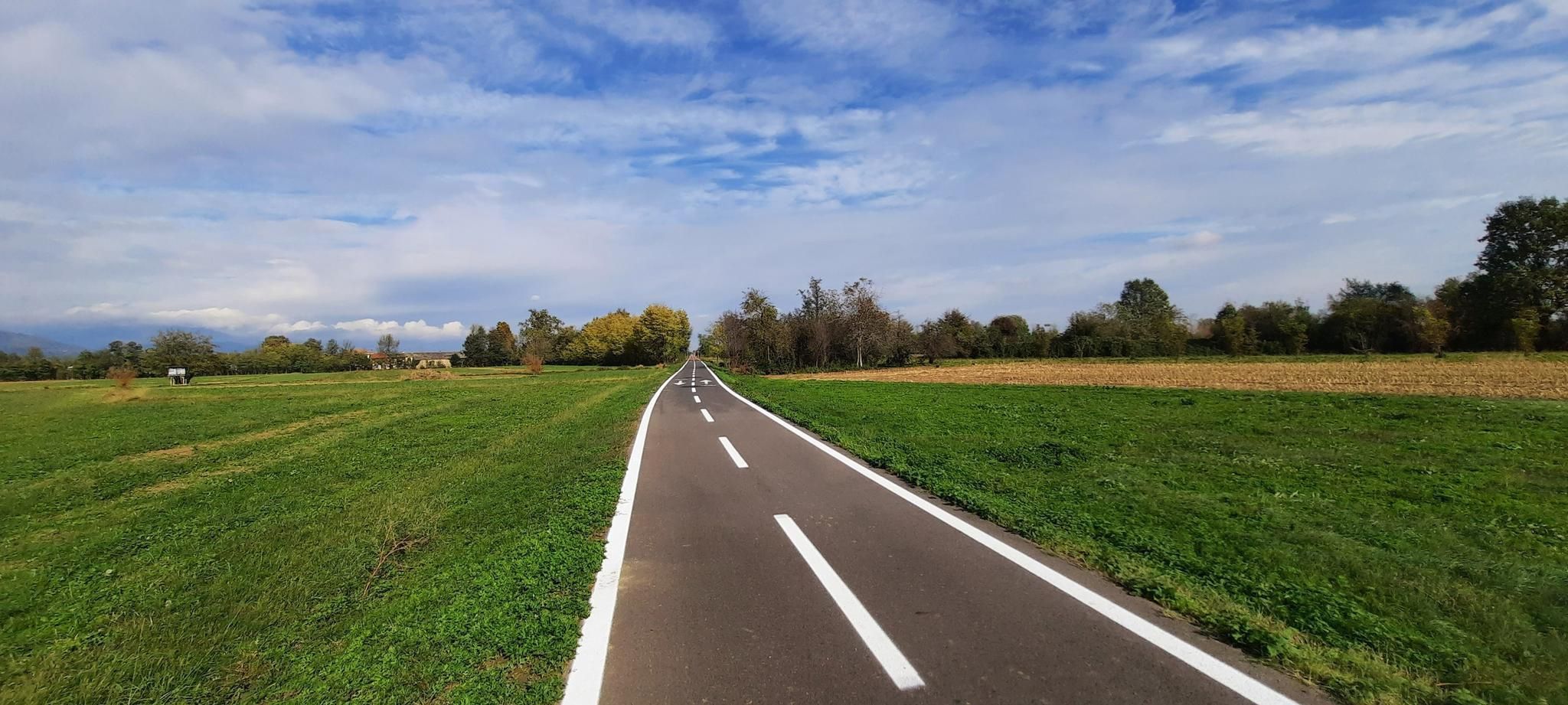
Ride across the Italian Alps – Pedemontana cycle route
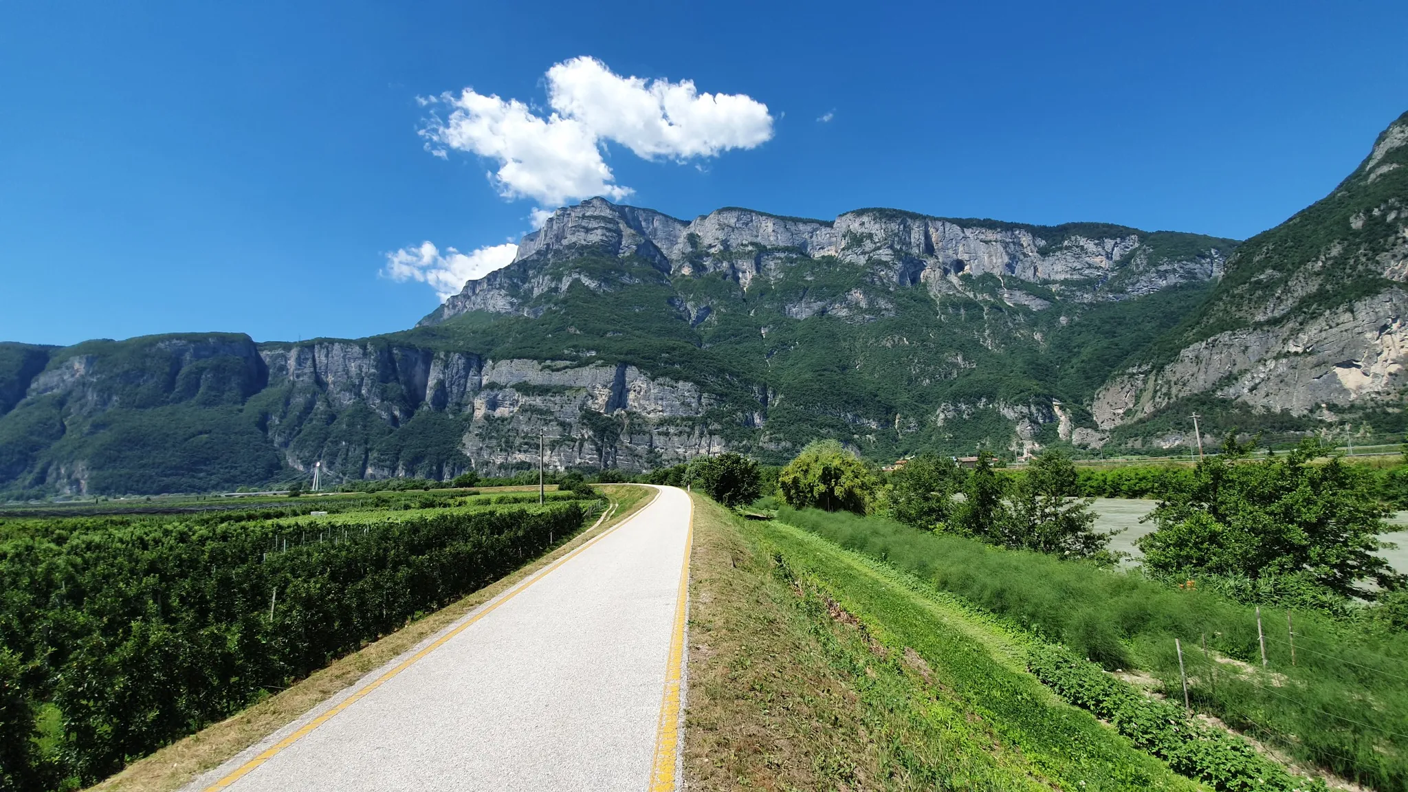
Ride a Roman road in Northern Italy – Claudia Augusta Cycle Path
Other adventures around Lake Garda


Tips from the Community

The castle is perched on a rugged rocky spur, from which it dominates the Alto Garda plain. Of the ancient fortress, the towers, part of the curtain walls and some ruined buildings remain intact, having suffered numerous assaults over the centuries. The last was that of the French troops in August 1703, while the War of the Spanish Succession was being fought. Inside Arco Castle, thanks to a recent restoration, you can visit the Stone Prison (Prigione del Sasso) and the Great Tower (Torre Grande), whose walls are decorated with a splendid cycle of profane 14th-century frescoes depicting ladies playing chess.
0
0
Arco si estende dalla piana del fiume Sarca fino alle pendici del Monte Stivo, con quote che vanno da poche decine di metri fino oltre i 2.000. La vicinanza al lago di Garda e il riparo offerto dai rilievi garantiscono temperature miti, che permettono la crescita di ulivi, cipressi e piante mediterranee accanto a specie di montagna. Nel centro storico ritrovi tracce dell’eredità asburgica nei palazzi signorili, nelle ville liberty e nel Parco Arciducale con il suo arboreto. Il castello medievale, posto in alto sulla rupe, è il riferimento visivo della città e testimonia il valore strategico di questo punto di passaggio verso la valle. Accanto al patrimonio storico, Arco ha sviluppato una forte identità legata allo sport all’aria aperta e agli eventi internazionali di arrampicata.
0
0

A view that pays off in a short time, a constant climb to two different panoramic points: the port and the historic center of Riva del Garda from above, then an open view of the lake.
0
0

Great via ferrata with a rewarding destination (view!!!) and also well suited for beginners and children.
0
0
Great little town with winding narrow streets and many small shops, cafes, and restaurants! An ice cream at the church square is always a good idea!
0
0

At the top of the mountain, you walk on a kind of stone sea with great patterns in the stones. Surefootedness necessary.
0
0

Below the small church of San Giovanni, there are some caves and ravines from the First World War. There are explanatory panels with period photos. Two flags, Italian and Austrian, are also flying.
0
0

A gem with a castle ruin. Very picturesque.
0
0
Frequently Asked Questions
How many mountaineering routes are available around Lake Garda?
Lake Garda offers a vast network of mountaineering routes, with over 220 options available. These range from easier paths to very challenging ascents, catering to various skill levels.
What types of mountaineering can I experience in the Lake Garda region?
The Lake Garda region is renowned for its diverse mountaineering opportunities. You can enjoy rock climbing in areas like Arco, explore numerous via ferrata routes such as the classic Via Ferrata dell'Amicizia, and embark on extensive trekking and hiking trails. The glaciated terrain also provides ideal settings for canyoning, and during winter, ski touring and snowshoeing are popular.
Are there easy mountaineering routes suitable for beginners or families?
Yes, Lake Garda offers several easier mountaineering routes. While many routes are challenging, there are at least 5 routes specifically categorized as easy, providing accessible options for beginners or families looking for a less strenuous experience. These routes often feature less elevation gain and shorter distances.
What is the best time of year for mountaineering around Lake Garda?
Thanks to its unique microclimate, Lake Garda is suitable for mountaineering almost year-round. The mild Mediterranean climate at lower elevations allows for climbing and hiking even in winter, especially on south-facing crags. Spring and autumn offer pleasant temperatures for most routes, while higher elevations like Monte Baldo are best enjoyed in summer when alpine conditions are more favorable.
What kind of views can I expect on mountaineering routes around Lake Garda?
Mountaineering routes around Lake Garda offer breathtaking and varied vistas. You can expect expansive panoramic views of the lake and its surrounding mountains, especially from peaks like Monte Baldo. Many trails also provide dramatic perspectives of fjord-like valleys, limestone cliffs, and the unique karst landscapes near Arco. Highlights like View of Lake Garda and View of Lake Garda, Riva and Torbole from Monte Brione offer stunning viewpoints.
Are there challenging mountaineering routes for experienced climbers?
Absolutely. Lake Garda is a prime destination for experienced mountaineers, with over 140 routes categorized as difficult. These include demanding via ferrata and rock climbing routes. For example, the Via Ferrata Fausto Susatti – Cima Capi loop from Riva del Garda offers challenging ascents and panoramic views, while the Santa Barbara Chapel and Hut – Via Ferrata dell'Amicizia loop from Riva del Garda is a classic, longer route.
What are some notable natural attractions or landmarks near the mountaineering routes?
The region boasts several remarkable natural attractions. You can explore the unique karst landscape near Arco on routes like the Colodri Via Ferrata – Colodri Karst Landscape loop from Arco. Other highlights include the stunning Lake Tenno, the dramatic Monte Tremalzo, and the historic Pile-dwelling Village at Lake Ledro. Many routes also pass by viewpoints like Rocca di Manerba del Garda.
How long do mountaineering routes around Lake Garda typically take to complete?
The duration of mountaineering routes varies significantly depending on their difficulty and length. Shorter, difficult routes like the Colodri Via Ferrata – Colodri Karst Landscape loop from Arco can be completed in under 2 hours. More extensive and challenging routes, such as the Via Ferrata dell'Amicizia – Santa Barbara Chapel and Hut loop from Riva del Garda, can take over 7 hours.
Are there circular mountaineering routes available?
Yes, many mountaineering routes around Lake Garda are designed as loops, allowing you to start and finish at the same point. Examples include the Colodri Via Ferrata – Colodri Karst Landscape loop from Arco and the Santa Barbara Chapel and Hut – Via Ferrata dell'Amicizia loop from Linfano, which offer a complete experience without needing to arrange return transport.
What do other mountaineers say about the routes in Lake Garda?
The mountaineering routes around Lake Garda are highly regarded by the komoot community, boasting an impressive average rating of 4.8 stars from over 1,100 reviews. Mountaineers frequently praise the dramatic scenery, the variety of terrain, and the well-maintained via ferrata. Over 8,600 mountaineers have used komoot to explore this unique region.
Is it possible to access higher elevations easily for mountaineering?
Yes, for convenient access to higher elevations, particularly on Monte Baldo, you can utilize the panoramic cable car from Malcesine. This provides an excellent starting point for various hikes, paragliding, or simply enjoying the unparalleled views before embarking on your mountaineering adventure.
Most popular routes around Lake Garda
Most popular attractions around Lake Garda

Get inspired with the komoot mobile app


Explore more
Browse the best Mountain Hikes & Routes in other regions.
