The best MTB trails around Wallerchen
4.5
(136)
555
riders
126
rides
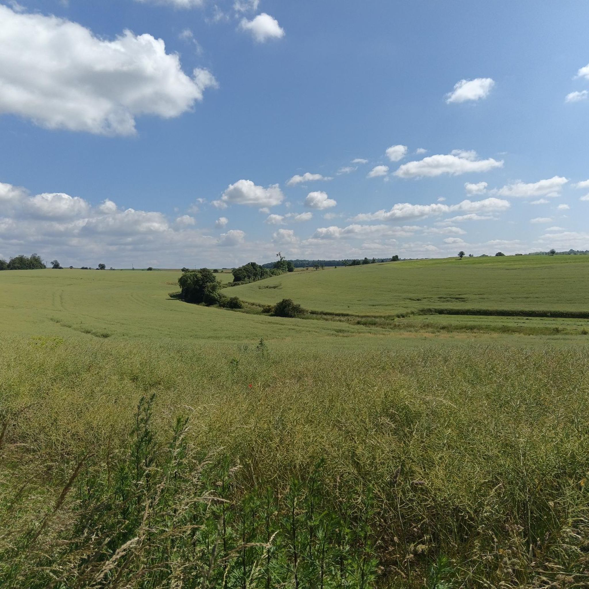
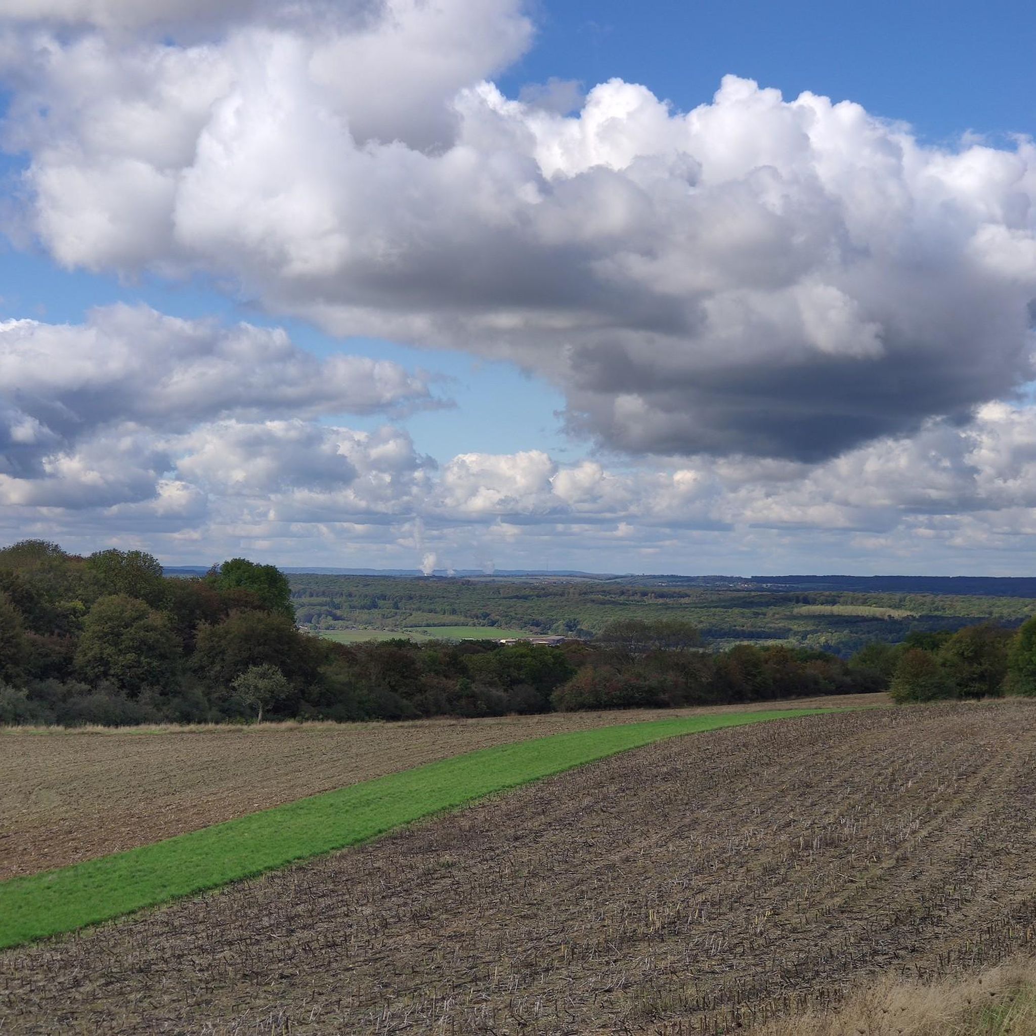
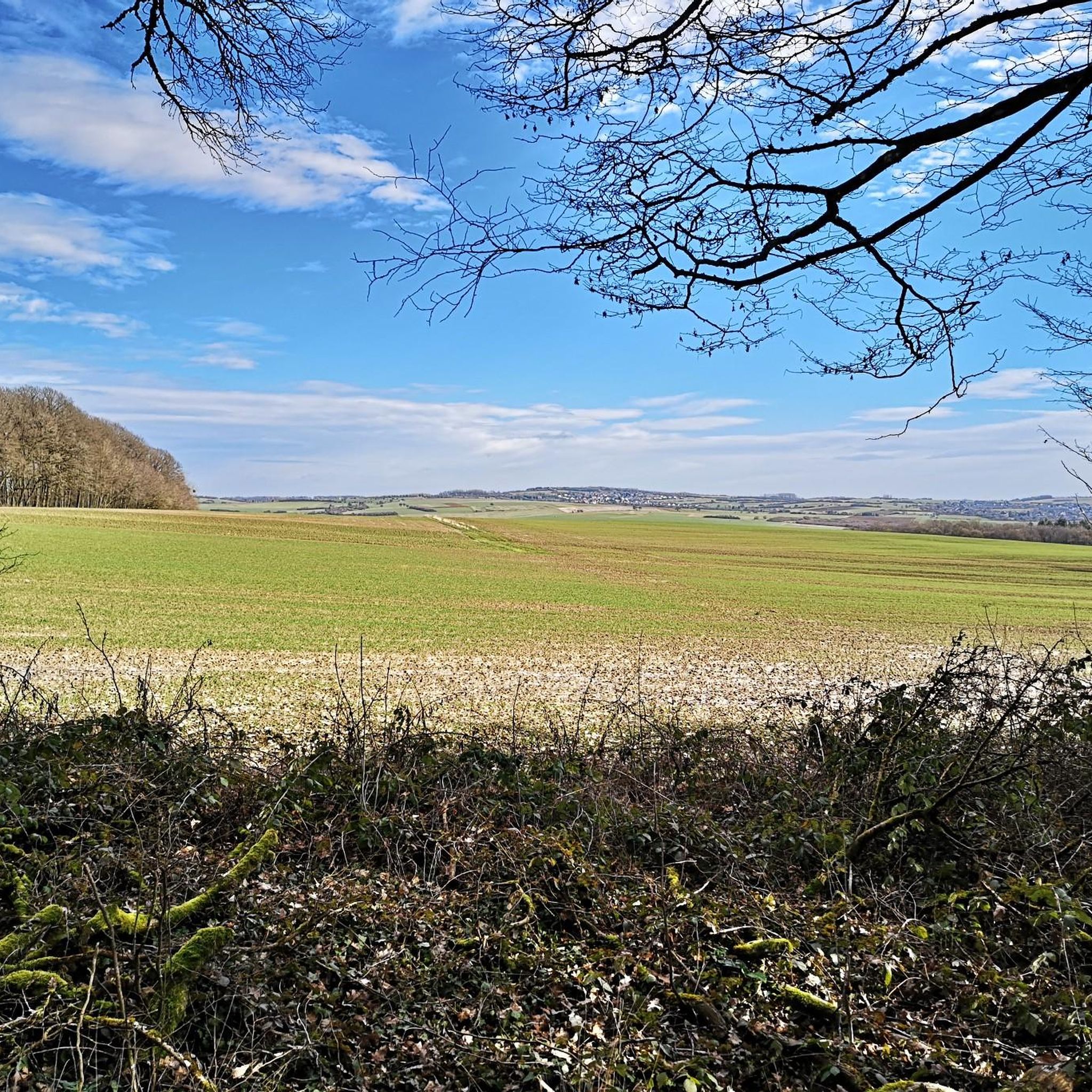
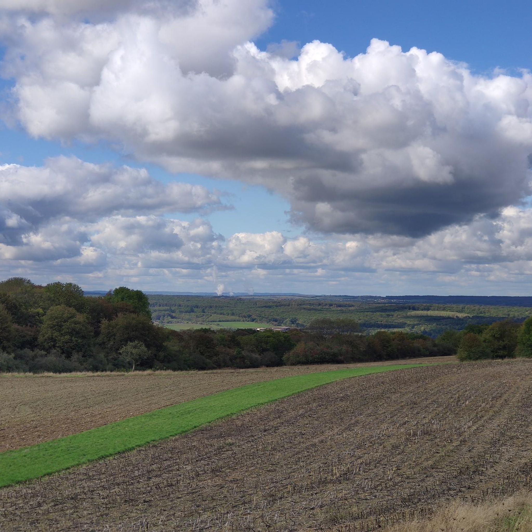
Mountain biking around Wallerchen features a diverse landscape with rolling hills, dense woodlands, and open sections offering varied terrain. The region includes significant elevation changes, with some routes climbing over 1,000 meters, providing challenging ascents and rewarding descents. Trails often traverse through natural areas, including canyons and near lakes, making for engaging rides.
Best mountain bike trails around Wallerchen
- The most popular mountain bike trail is Notre-Dame de Rabas Chapel – Canyon de Saint-Hubert loop from Bouzonville, a 43.2…
Last updated: August 29, 2026
4.0
(2)
57
riders
69.8km
06:00
1,010m
1,010m
Hard mountain bike ride. Very good fitness required. Advanced riding skills necessary.
3
riders
24.5km
01:56
410m
410m
Moderate mountain bike ride. Good fitness required. Suitable for all skill levels.

Sign up for free
5.0
(3)
4
riders
26.7km
01:50
250m
250m
Moderate mountain bike ride. Great for any fitness level. Advanced riding skills necessary.
5.0
(1)
2
riders
41.7km
03:19
540m
540m
Moderate mountain bike ride. Good fitness required. Suitable for all skill levels.
3.0
(2)
4
riders
35.6km
02:40
460m
460m
Moderate mountain bike ride. Good fitness required. Advanced riding skills necessary.
Get access to more routes and recommendations from other explorers.
Sign up for free
Already have an account?
Our route recommendations are based on thousands of hikes, rides, and runs completed by other people on komoot.
Start today with a free account
Your next adventure awaits.
Login or Signup

Tips from the Community

In the wooded area in Holling, a tree has fallen and is blocking the trail / path a bit, you have to get off your MTB!
0
0


The Cross of Lorraine (also called the double cross or Anjou cross) is a cross with two crossbars of equal length and has been a symbol of the Duchy of Lorraine since the 15th century.
1
0
A popular vantage point and landmark of the municipality of Überherrn is the monument 'For the Great Europeans'
1
0

Ideal for cooling off on hot days 🥵. But not drinking water.
0
0

Since 1912, Alsace-Lorraine carried a patriarchal cross on its flag, as did the French resistance (Free French Forces) from 1940 to 1944.
1
0

According to legend, it was built based on a promise made by Charlemagne.
2
0

Inaugurated in May 1970, this monument is intended to "express the European-democratic attitude of the border population on both sides of the border." The two pylons represent the countries of Germany and France, which have been at war with each other for centuries. The metal bars in the upper area symbolize the friendship that developed after the Second World War.
0
0
Frequently Asked Questions
How many mountain bike trails are available around Wallerchen?
There are over 120 mountain bike trails around Wallerchen, offering a wide range of options for different skill levels and preferences.
Are there easy mountain bike trails in Wallerchen suitable for beginners?
Yes, Wallerchen offers a good selection of trails for beginners. You'll find 39 easy mountain bike routes that are less demanding, perfect for those new to the sport or looking for a relaxed ride. For example, the Church of Valmunster – Gomelange loop from Bouzonville is a moderate option that can be a good stepping stone.
What about more advanced mountain bike routes in Wallerchen?
For experienced mountain bikers seeking a challenge, Wallerchen has 3 difficult routes. These trails feature significant elevation changes and technical sections. A prime example is the Notre-Dame de Rabas Chapel – Canyon de Saint-Hubert loop from Bouzonville, which includes over 1,000 meters of climbing and descending.
How long do mountain bike trails in Wallerchen typically take to complete?
The duration of mountain bike trails in Wallerchen varies greatly depending on the route's length and difficulty. For instance, the Grenzland Trail – Europe Monument, Berus loop from Tromborn is a moderate 24.6 km trail that typically takes around 1 hour 56 minutes, while longer routes like the Notre-Dame de Rabas Chapel – Canyon de Saint-Hubert loop from Bouzonville can take nearly 6 hours.
Are there family-friendly mountain bike trails in Wallerchen?
While specific 'family-friendly' designations aren't always explicit, many of the 39 easy and some of the 78 moderate routes in Wallerchen can be suitable for families, depending on the children's experience and fitness levels. Look for routes with less elevation gain and smoother terrain. The region's diverse landscape offers options for various abilities.
Can I find circular mountain bike trails in Wallerchen?
Yes, many mountain bike trails in Wallerchen are designed as loops, allowing you to start and finish at the same point. Examples include the Casemate Michelsberg I – Eglise Hestroff loop from Anzeling and the Lake Bisten – E.ON Reservoir loop from Tromborn, both offering engaging circular rides.
What is the best time of year for mountain biking in Wallerchen?
The best time for mountain biking in Wallerchen is generally from spring through autumn (April to October). During these months, the weather is typically mild, and trail conditions are usually dry and firm. Winter riding can be possible, but trails may be muddy or icy, requiring more caution.
Are there mountain bike trails with viewpoints or interesting sights in Wallerchen?
Absolutely! Many trails in Wallerchen pass by scenic spots and points of interest. You can find routes that lead to places like the Hirnberg Observation Tower for panoramic views, or near historical sites such as the Celtic Farmstead Reconstruction. The region also features natural highlights like the Beruser Kalksteinbruch Nature Reserve.
What do other mountain bikers enjoy most about Wallerchen's trails?
The mountain bike trails around Wallerchen are highly rated by the komoot community, with an average score of 4.5 stars from over 100 reviews. Riders often praise the diverse landscape, which includes rolling hills, dense woodlands, and open sections, providing varied terrain and engaging rides. The mix of challenging ascents and rewarding descents is also frequently highlighted.
Are there any lakes or water features along the mountain bike routes?
Yes, Wallerchen's landscape includes several lakes and water features that some mountain bike routes pass by or near. You might encounter highlights such as the ASV Ihn-Leidingen Pond Recreation Area, Blue Water, or the Blue Lagoon (Berus Pond), offering picturesque views and potential rest stops.
Are there mountain bike trails in Wallerchen with pub stops or places to eat nearby?
While specific pub stops are not always explicitly marked on every trail, the region around Wallerchen has villages and towns where you can find places to eat and drink. Some routes might pass close to establishments like the Wackenmühle on the Nied, which is a restaurant. Planning your route with komoot allows you to identify such points of interest along the way.
Most popular routes around Wallerchen
Most popular attractions around Wallerchen

Get inspired with the komoot mobile app


Explore more
Browse the best MTB trails in other regions.
