The best walks and hikes around Altenbeuthen
4.6
(8233)
25,313
hikers
22
hikes
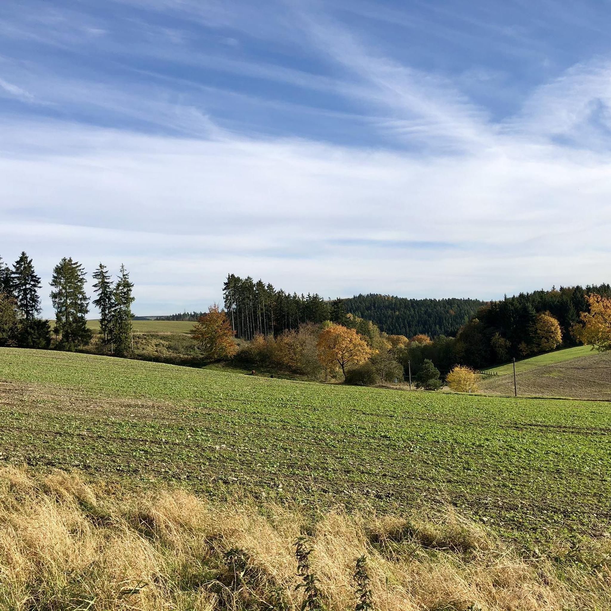
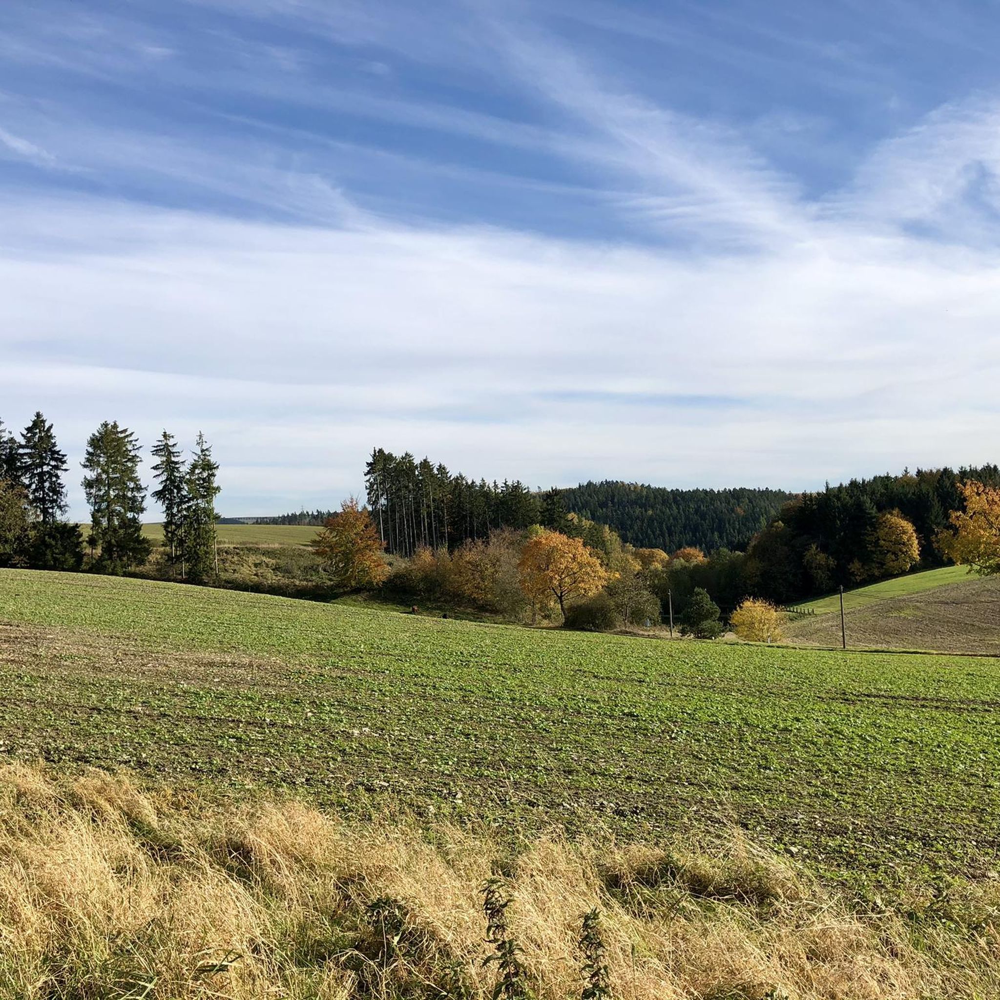
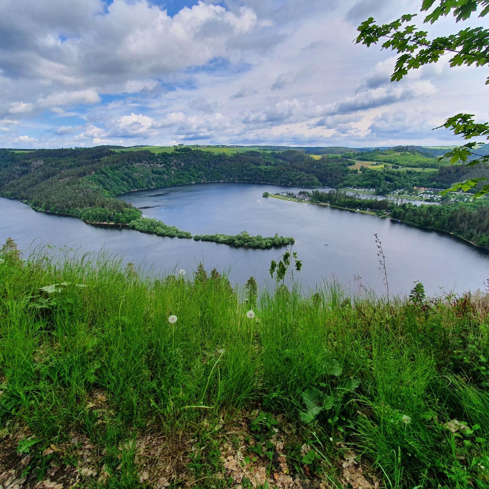
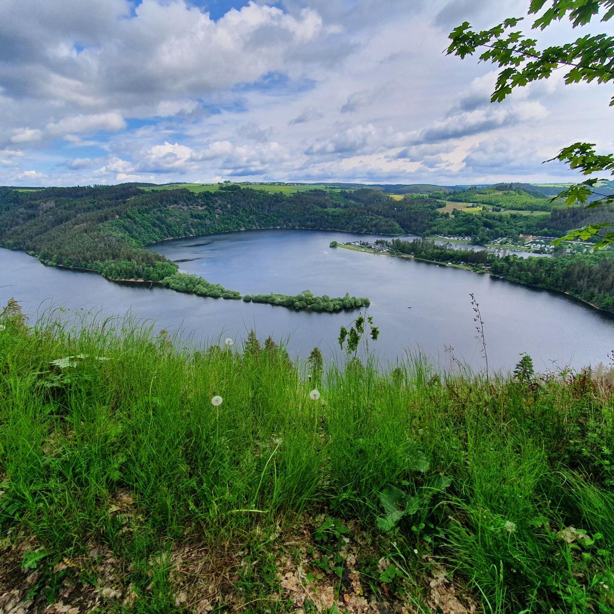
Hiking around Altenbeuthen offers diverse trails through the idyllic Thuringian countryside, characterized by rolling hills, dense forests, and picturesque river valleys. The region is notably shaped by the "Thuringian Sea" around the Hohenwarte Reservoir, providing a fjord-like water landscape with extensive hiking opportunities. These physical features create a varied terrain for outdoor activities.
Best hiking trails around Altenbeuthen
- The most popular hiking route is View of the Hohenwarte Reservoir – Hohe Leite Viewpoint loop from Altenbeuthen, a 8.9 miles (14.3 km) trail that takes 4 hours 10 minutes to complete. This moderate route offers unique views of the Hohenwarte Reservoir.
- Another top favourite among local hikers is View of Ziemestal Bridge – View of the Ziemestal Bridge loop from Altenbeuthen, a moderate 4.4 miles (7.0 km) path. This trail features scenic paths leading to the impressive Ziemestal Viaduct.
- Local hikers also love the Wysburg Castle Ruins – View of Ziemestal Bridge loop from Altenbeuthen, a 6.1 miles (9.7 km) trail leading through forested areas and past historical ruins, often completed in about 2 hours 51 minutes.
- Hiking around Altenbeuthen is defined by rolling hills, dense forests, and the scenic Hohenwarte Reservoir. The network of trails offers options for various ability levels, from easy walks to more challenging routes.
- The routes in Altenbeuthen are highly rated by the komoot community with an average score of 4.6 stars from over 2100 reviews. More than 7900 hikers have used komoot to explore Altenbeuthen's varied terrain.
Last updated: October 11, 2026
4.9
(21)
72
hikers
15.1km
04:07
230m
230m
Moderate hike. Good fitness required. Easily-accessible paths. Suitable for all skill levels.
5.0
(4)
27
hikers
Moderate hike. Good fitness required. Mostly accessible paths. Sure-footedness required.

4.9
(9)
33
hikers
Moderate hike. Good fitness required. Mostly accessible paths. Sure-footedness required.
4.7
(7)
33
hikers
Moderate hike. Good fitness required. Easily-accessible paths. Suitable for all skill levels.
4.7
(71)
238
hikers
5.93km
01:45
140m
140m
Moderate hike. Great for any fitness level. Mostly accessible paths. Sure-footedness required.
Get access to more routes and recommendations from other explorers.
Already have an account?
Our route recommendations are based on thousands of hikes, rides, and runs completed by other people on komoot.
Start today with a free account
Your next adventure awaits.
Tips from the Community

View from the stump of the keep of Wysburg castle onto the remains of the castle complex
0
0


Great photo spot ♥️ with a view of Ziegenrück Castle. Of course, there's a lovely bench on the banks of the Saale River.
16
0
Offers a beautiful view of Ziegenrück.
16
0
Offers a wonderful view 🤩.
15
0
Many relaxing benches and picnic areas are located here on the edge of the weir.
15
0

Easily accessible from Ziegenrück, this trail offers a beautiful view of the Saale River and the village. If you approach from the other side (from the tunnel), you'll have to be prepared for narrow, steep paths.
0
0

This is a stamp office, Touringen stamp 226!
1
0
Frequently Asked Questions
How many hiking trails are available around Altenbeuthen?
Altenbeuthen offers a diverse network of over 20 hiking trails, catering to various preferences and fitness levels. These routes explore the scenic Thuringian countryside, including the Hohenwarte Reservoir and dense forests.
What is the best time of year for hiking in Altenbeuthen?
The best seasons for hiking in Altenbeuthen are spring and autumn. During these times, the landscape is particularly vibrant, with colorful flower meadows in spring and glowing foliage in autumn, offering a beautiful backdrop for your walks.
Are there easy hiking trails suitable for beginners in Altenbeuthen?
Yes, Altenbeuthen has several easy hiking options. For instance, the Schiefer Outcrop Trail loop from Altenbeuthen is an easy route that allows you to enjoy the natural beauty without significant challenges. Overall, there are 11 easy routes available.
Can I find circular hiking routes in Altenbeuthen?
Many of the trails around Altenbeuthen are circular, offering convenient starting and ending points. A popular moderate circular route is the View of the Hohenwarte Reservoir – Hohe Leite Viewpoint loop from Altenbeuthen, which provides unique views of the 'Thuringian Sea'.
What kind of terrain can I expect on hikes around Altenbeuthen?
The terrain around Altenbeuthen is characterized by rolling hills, dense forests, and picturesque river valleys, particularly along the Saale and Schwarza rivers. The region is also significantly shaped by the fjord-like landscape of the Hohenwarte Reservoir.
Are there family-friendly hiking options in Altenbeuthen?
Absolutely! The region offers routes suitable for families. The Altenbeuthen Fairytale Trail is specifically designed for children, leading through the forest with various stories and legends. Additionally, the railway embankment hike from Ziegenrück to the impressive Ziemestal Viaduct is also a great experience for families.
Are there any interesting landmarks or viewpoints along the hiking trails?
Yes, hikers can discover several notable landmarks and viewpoints. You can visit the Kobersfelsen for great views, or enjoy the panoramic vistas from the Teufelskanzel Viewpoint (Saale Bend). The impressive Ziemestal Viaduct is also a significant sight, accessible via trails like the View of Ziemestal Bridge loop from Altenbeuthen.
What do other hikers enjoy most about hiking in Altenbeuthen?
The komoot community highly rates hiking in Altenbeuthen, with an average score of 4.6 stars from over 2100 reviews. Hikers often praise the diverse terrain, the stunning views of the Hohenwarte Reservoir, and the well-maintained paths through the idyllic Thuringian countryside.
Can I find hikes that include historical sites or castles?
Yes, the region boasts historical buildings and monuments. For example, the Wysburg Castle Ruins – View of Ziemestal Bridge loop from Altenbeuthen leads through forested areas and past historical ruins. Altenbeuthen Castle itself is an impressive 12th-century complex, offering a glimpse into history.
Are there any challenging hikes around Altenbeuthen?
While most routes are easy to moderate, some longer trails offer a more challenging experience. The multi-day Hohenwarte Reservoir Trail, for instance, spans 78.1 km and is considered challenging, providing extensive exploration of the 'Thuringian Sea' landscape.
Are dogs allowed on the hiking trails in Altenbeuthen?
Generally, dogs are welcome on the hiking trails around Altenbeuthen, allowing you to enjoy the beautiful Thuringian countryside with your canine companion. However, it's always advisable to keep them on a leash, especially in nature reserves or near wildlife, and to respect local regulations.
Are there any short walks available near Altenbeuthen?
Yes, for those looking for shorter excursions, there are several options. Many of the easy and moderate trails can be adapted for shorter walks, or you can explore specific sections. The View of Ziemestal Bridge loop from Altenbeuthen, at 7 km, is a good example of a moderate route that can be completed in a shorter timeframe.
Most popular routes around Altenbeuthen
Most popular attractions around Altenbeuthen

Get inspired with the komoot mobile app


Explore more
Browse the best Hikes in other regions.
