The best walks and hikes around Schemmerich
4.4
(475)
1,902
hikers
122
hikes
Hiking around Schemmerich offers a diverse network of trails suitable for various skill levels. The region features varied terrain, including woodlands and open landscapes, with gentle elevation changes. These routes provide opportunities to explore the local environment and its natural features. The area's hiking paths are well-suited for those seeking accessible outdoor experiences.
Best hiking trails around Schemmerich
- The most popular hiking route is Bouzonville Route loop from Vaudreching, a 1.9 miles (3.1 km) trail that takes 50 minutes…
Last updated: October 22, 2026
5.0
(5)
23
hikers
3.09km
00:50
40m
40m
Easy hike. Easily walkable paths.
5.0
(1)
20
hikers
10.5km
02:49
120m
120m
Moderate hike. Good fitness required. Easily walkable paths.

5.0
(4)
20
hikers
9.63km
02:32
80m
80m
Moderate hike. Good fitness required. Easily walkable paths.
4.7
(3)
11
hikers
9.47km
02:31
100m
100m
Moderate hike. Good fitness required. Easily walkable paths.
4.7
(3)
11
hikers
10.5km
02:48
110m
110m
Moderate hike. Good fitness required. Easily walkable paths.
Get access to more routes and recommendations from other explorers.
Already have an account?
Our route recommendations are based on thousands of hikes, rides, and runs completed by other people on komoot.
Start today with a free account
Your next adventure awaits.
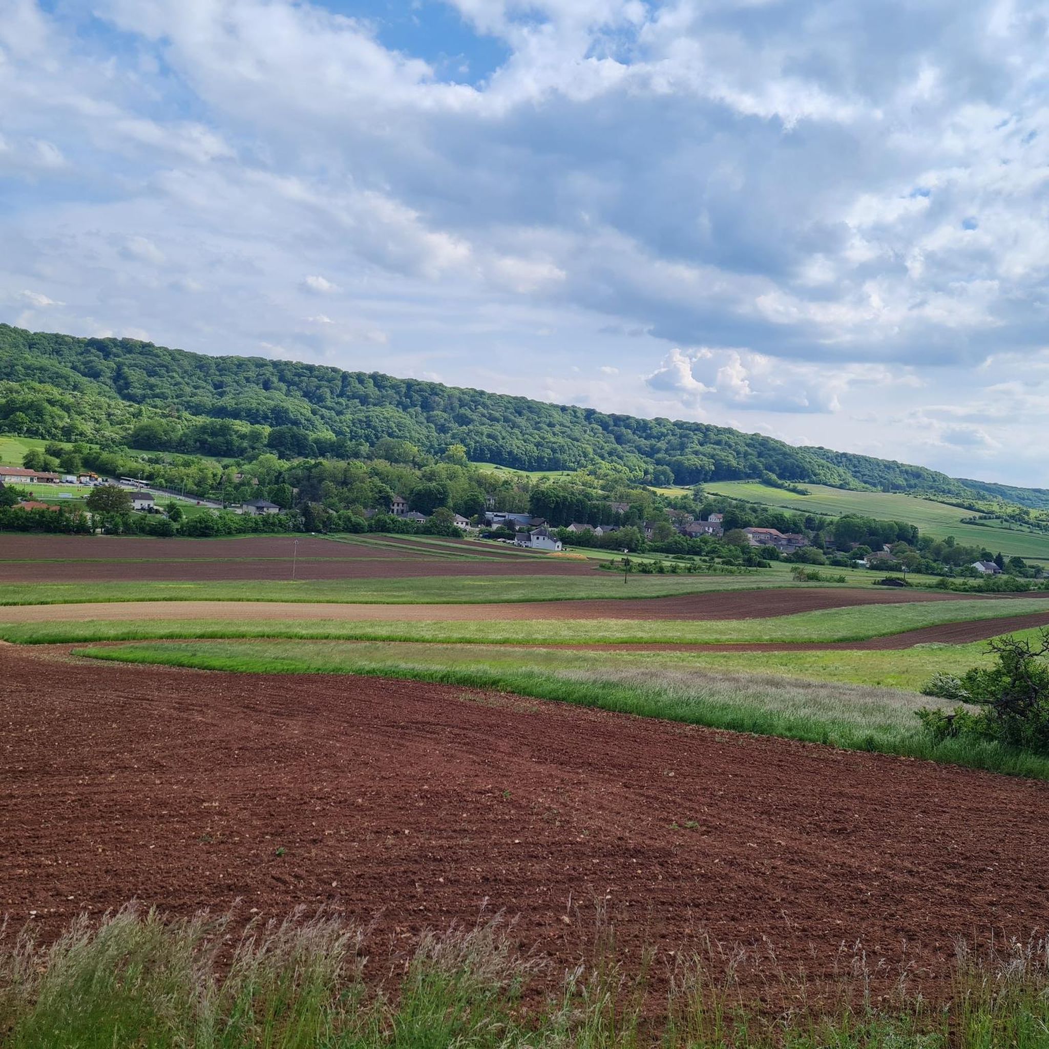

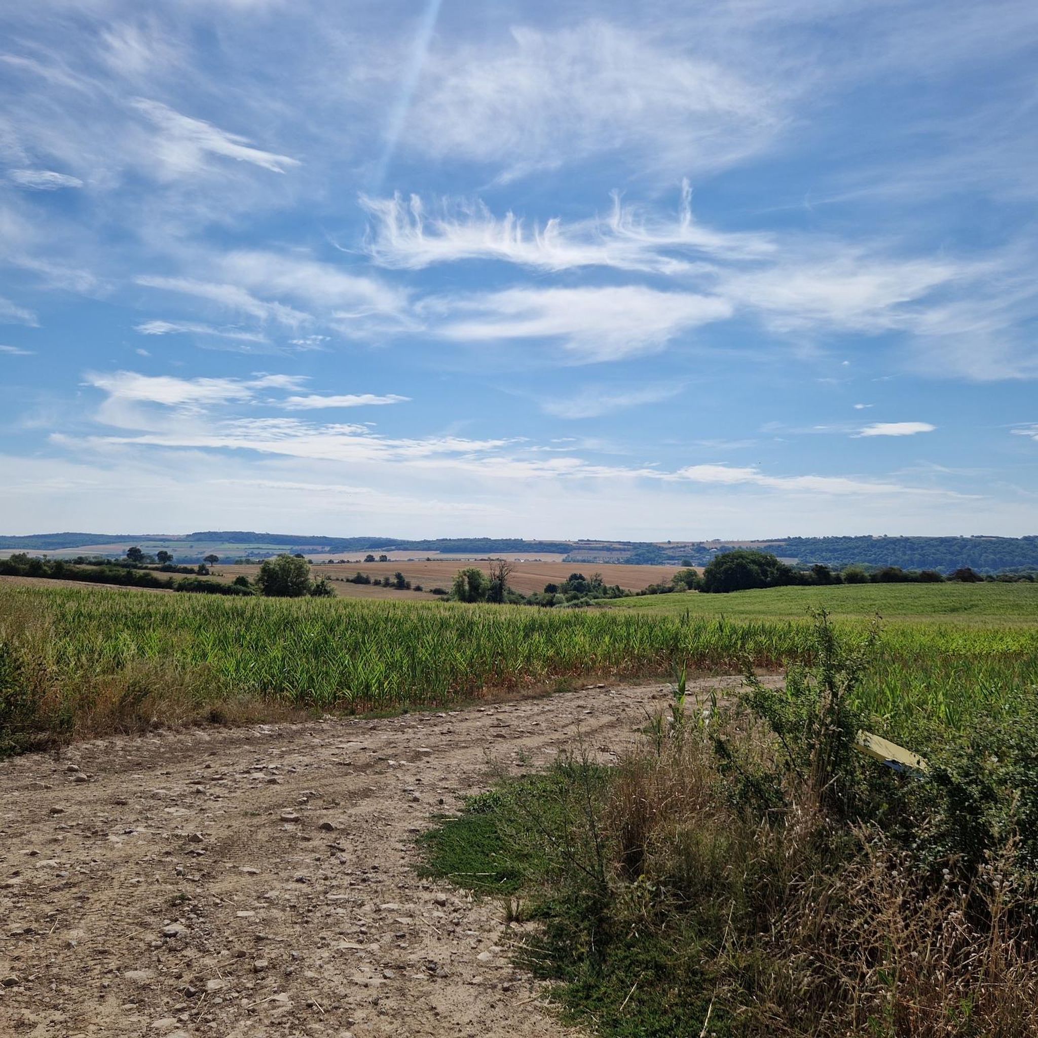
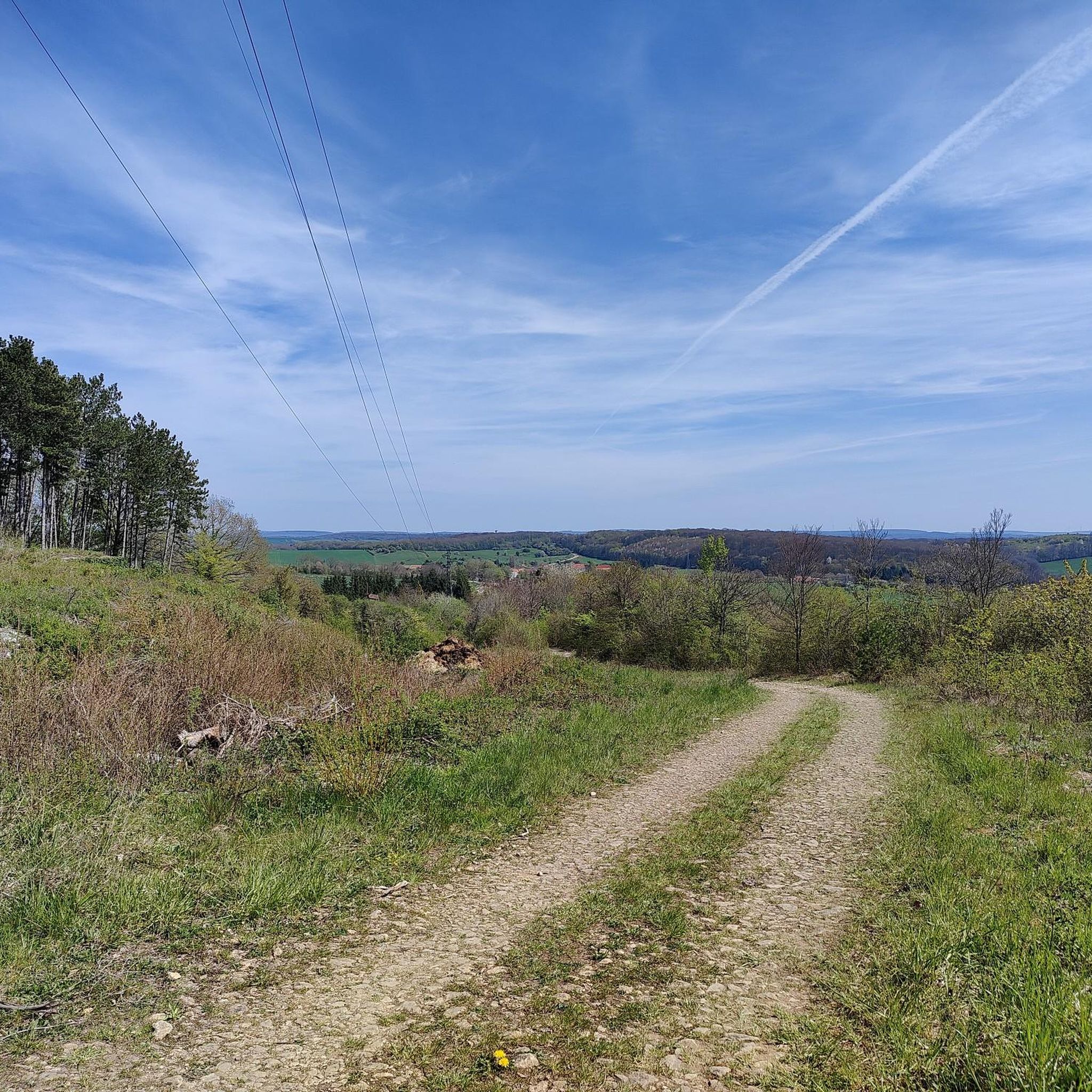
Tips from the Community

Very nice hike.
0
0

⛪ **Église abbatiale Sainte-Croix – Heart of the Abbey in Bouzonville** The **Église abbatiale Sainte-Croix** is the impressive **monastery church of the Benedictine abbey** in **Bouzonville** and a spiritual center with over 1,000 years of history. Originally founded in the **11th century**, the church today combines **Romanesque roots** with **Gothic and Baroque elements**, which have been added through numerous renovations. 🕍 Particularly striking: the massive portal, the tranquil interior with its barrel vault, and the harmoniously simple design, which invites contemplation. Regular services and hymns performed by the religious community lend the place a special depth. **Tip:** The church is open during the day and is a wonderful place of tranquility – particularly impressive by candlelight or in conjunction with a visit to the historic monastery complex.
1
0
⛪ **Saint-Croix Abbey in Bouzonville – Monastic Tradition with a Rich History** The **Saint-Croix Abbey** in **Bouzonville** is one of the oldest monastic complexes in the region. Founded in the **11th century**, it was a spiritual center between the Moselle and Saar rivers for centuries. The Romanesque-Gothic architecture of the monastery church has been rebuilt and restored several times, but its origins remain. 📜 After its dissolution during the French Revolution, the monastery was partially destroyed but later returned to religious use. Today, it is inhabited by a **Benedictine community** that welcomes visitors. **Tip:** The simple, spiritual atmosphere of the complex invites you to pause for a moment. Ideal for a quiet stroll or a quick visit to the monastery shop – featuring handmade products made by the nuns.
0
0

Rest area with a good view of the Nied and the abbey.
0
1

Part of the ancient lordship of Sierck, it was destroyed during the Hundred Years' War and was renamed Manquery in the 18th century. Peaceful today with its hundred or so inhabitants, it is beautifully flowered and the Weissland forest trail 1km away tells a good story of the ecological diversity of its environment.
1
0

Unfortunately closed
1
0

Caution ! Runners and hikers!
1
0
Frequently Asked Questions
How many hiking trails are available around Schemmerich?
The Schemmerich area offers a wide selection of hiking opportunities, with over 120 routes documented on komoot. These range from easy strolls to more challenging paths, ensuring options for various skill levels.
Are there easy hiking routes suitable for beginners or families in Schemmerich?
Yes, Schemmerich has numerous easy routes. Nearly 50 of the trails are classified as easy, featuring minimal elevation gain and shorter distances. An example is the Bouzonville Route loop from Vaudreching, which is just under 2 miles long and takes about 50 minutes to complete.
What kind of landscapes can I expect to see while hiking in Schemmerich?
Hiking around Schemmerich will take you through diverse landscapes, including woodlands and open fields. The terrain generally features gentle elevation changes, providing a pleasant experience for exploring the natural environment.
Are there any circular walks available in the Schemmerich region?
Many of the trails in Schemmerich are designed as loops, offering convenient circular walks. For instance, the Tercentenary Oak loop from Saint-François-Lacroix is a moderate 6-mile circular path that guides you through forested areas.
What do other hikers say about the trails in Schemmerich?
The hiking trails in Schemmerich are highly regarded by the komoot community, holding an average rating of 4.4 out of 5 stars from over 390 reviews. Hikers often praise the varied terrain and well-suited paths for different ability levels.
Are there any historical points of interest or landmarks to explore along the hiking routes?
Yes, the region around Schemmerich features several historical points of interest. You can explore sites like the Celtic Farmstead Reconstruction, the Leidingen Border Street, or the impressive Hackenberg Fort. These add a cultural dimension to your outdoor adventure.
What is the longest moderate hike available in Schemmerich?
For those looking for a longer moderate challenge, the Fort aux Fresques loop from Dalstein is a notable option. This route spans over 10 miles (16 km) and involves moderate ascents, typically taking around 4 hours to complete.
Are there any trails that offer a mix of woodlands and open landscapes?
Many routes in Schemmerich traverse both woodlands and open landscapes. The Menskirch loop from Menskirch is a good example, offering varied scenery over its 5.9-mile length, often completed in about 2 hours 30 minutes.
How many people have explored the Schemmerich trails using komoot?
The popularity of Schemmerich's trails is evident, with over 1800 hikers having used komoot to explore the region's diverse terrain and discover its natural beauty.
Are there any other notable historical sites besides forts and border streets?
Beyond the larger historical sites, you can also find places like the Kédange-sur-Canner Church, which offers a glimpse into the local heritage. Additionally, the Positions in the Dennenwald provide insight into past events within the natural landscape.
What is a good moderate hike for someone looking for a slightly longer route than the Tercentenary Oak loop?
If you've already explored the Tercentenary Oak loop and are seeking a similar but slightly longer moderate hike, consider the Menskirch loop from Monneren. This route covers approximately 6.5 miles (10.5 km) and features comparable elevation changes.
Most popular attractions around Schemmerich

Get inspired with the komoot mobile app


Explore more
Browse the best Hikes in other regions.
