The best walks and hikes around Arro
4.1
(282)
1,869
hikers
58
hikes
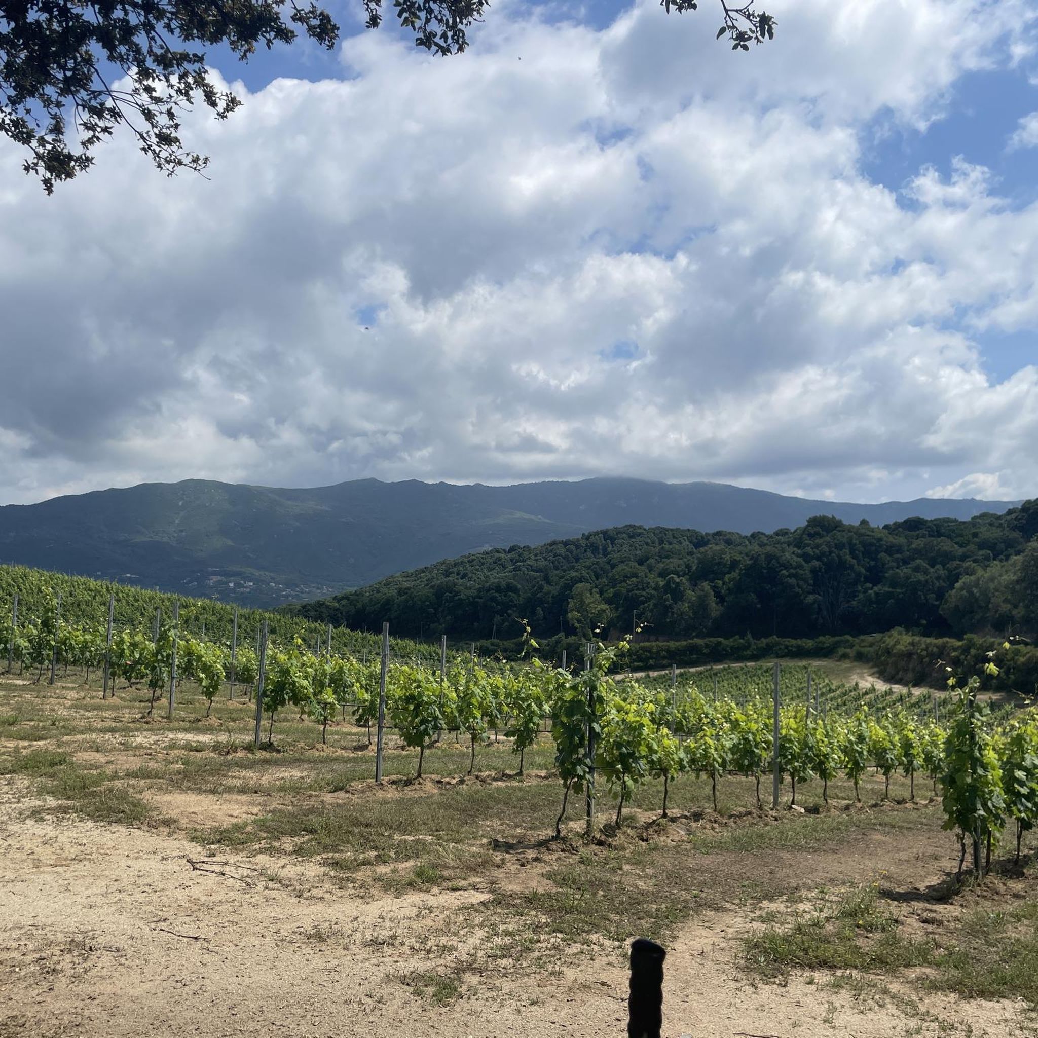
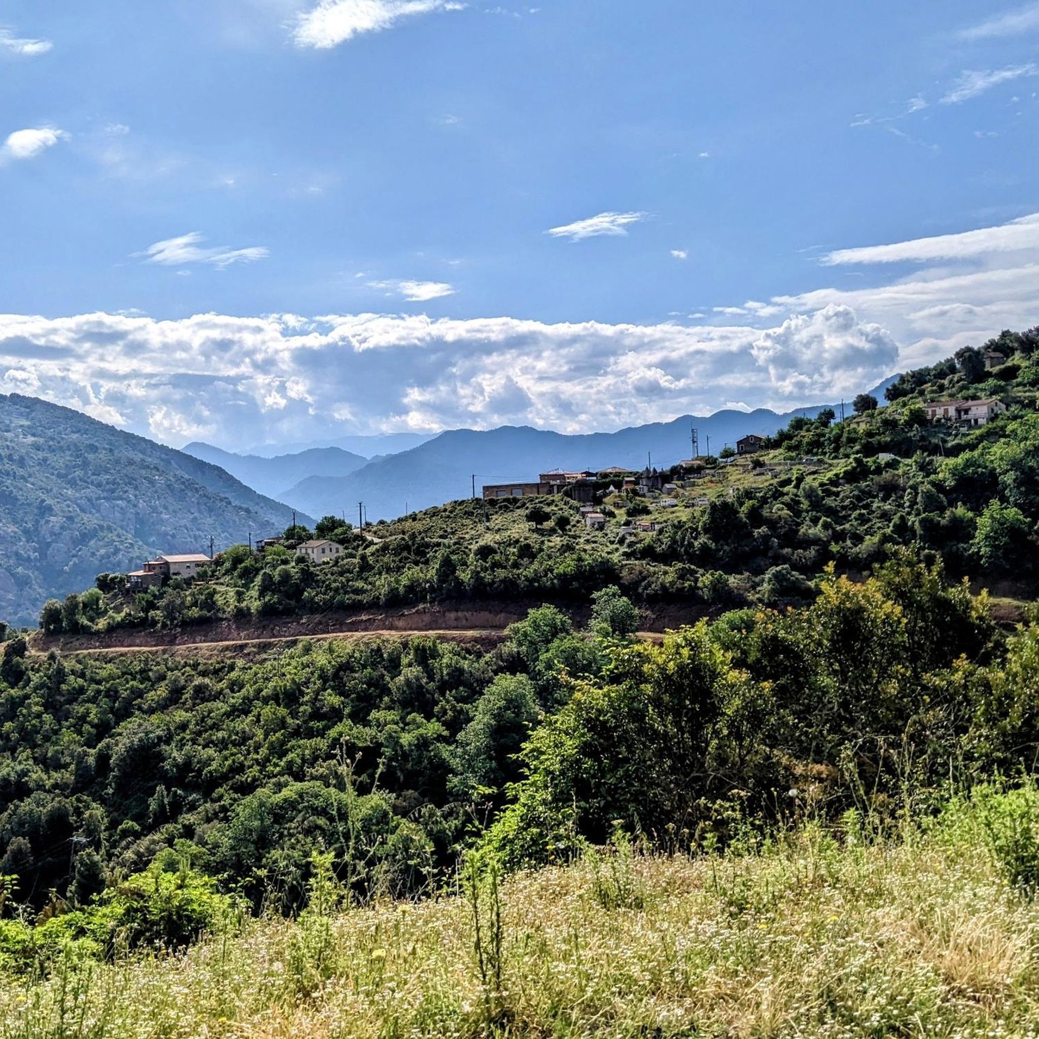
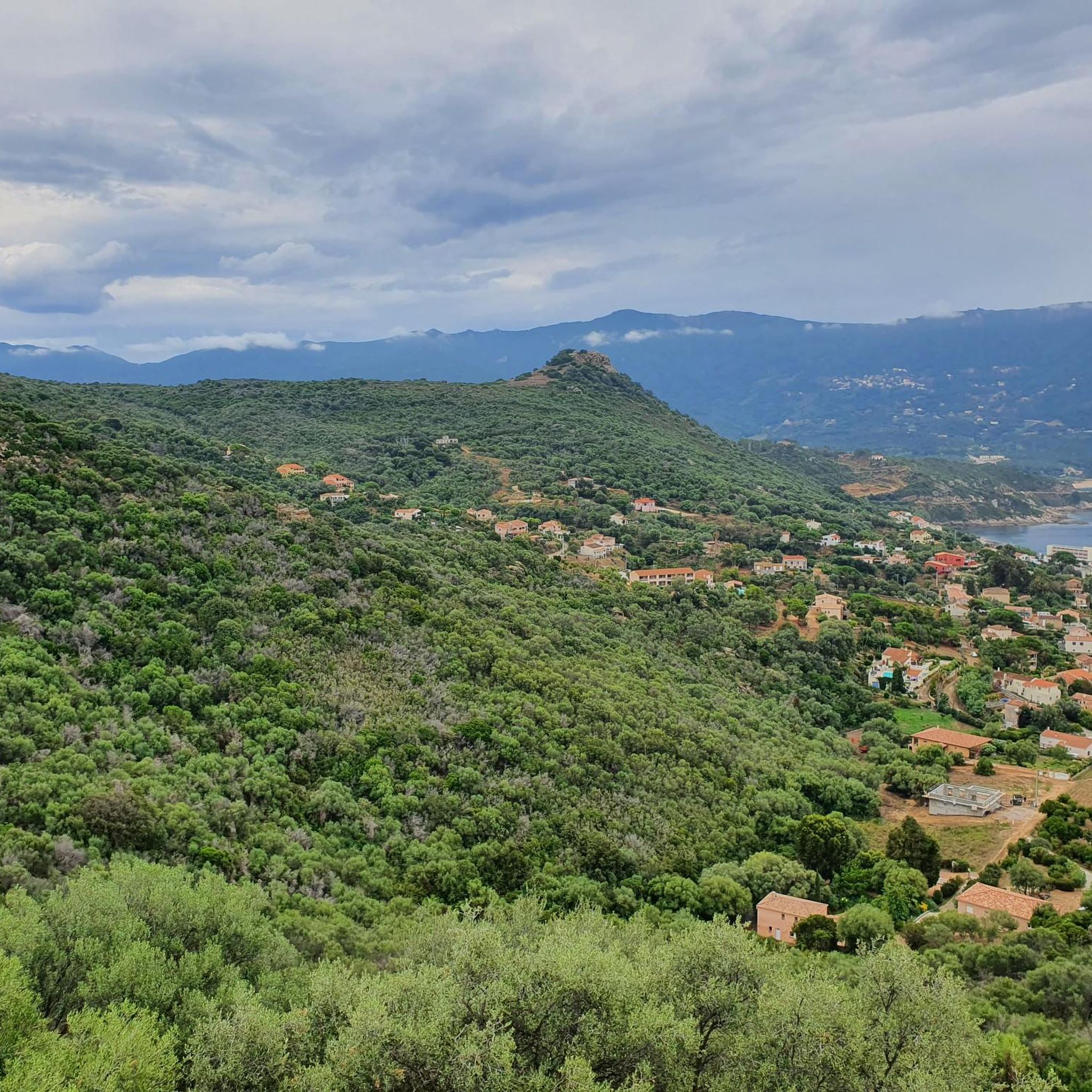
Hiking around Arro offers access to diverse natural environments, situated in proximity to the Parc Naturel Régional de Corse. The region features varied terrain, characteristic of a protected natural area. Hikers can expect a mix of coastal views, forested paths, and hilly landscapes. These natural features provide a range of experiences for outdoor enthusiasts.
Best hiking trails around Arro
- The most popular hiking route is Schöner Weg – Casaglione loop from Casaglione, a 2.7 miles (4.3 km) trail that…
Last updated: August 22, 2026
3.6
(7)
33
hikers
4.33km
01:17
120m
130m
Easy hike. Great for any fitness level. Easily-accessible paths. Suitable for all skill levels.
3.2
(6)
35
hikers
6.47km
01:48
120m
120m
Easy hike. Great for any fitness level. Easily-accessible paths. Suitable for all skill levels.

Sign up for free
4.5
(11)
43
hikers
10.3km
03:22
470m
470m
Moderate hike. Good fitness required. Easily-accessible paths. Suitable for all skill levels.
4.7
(3)
14
hikers
17.3km
05:02
450m
450m
Hard hike. Very good fitness required. Easily-accessible paths. Suitable for all skill levels.
4.3
(6)
35
hikers
4.39km
01:13
70m
70m
Easy hike. Great for any fitness level. Easily-accessible paths. Suitable for all skill levels.
Get access to more routes and recommendations from other explorers.
Sign up for free
Already have an account?
Our route recommendations are based on thousands of hikes, rides, and runs completed by other people on komoot.
Start today with a free account
Your next adventure awaits.
Login or Signup
Tips from the Community

Nice for hiking and sightseeing
0
0

A marked path to the beach and once you get there, you'll have a beautiful view of the bay!
0
0
A beautiful hike to Monte Lazzu begins here and then continues into the heights with signs explaining the history of the trail!
0
0
A mountain with beautiful views of the mountains and the sea.
0
0

Small dilapidated monument of a castle.
3
0
There are many cacti in full bloom here.
3
0
Fortification that served to shield the beach.
3
0
Frequently Asked Questions
How many hiking trails are available around Arro?
Arro offers a wide selection of hiking opportunities, with over 50 routes available. These trails cater to various skill levels, including easy, moderate, and difficult options, ensuring there's something for every hiker.
What kind of terrain can I expect on hikes around Arro?
Hiking around Arro provides access to diverse natural environments, characteristic of the Parc Naturel Régional de Corse. You can expect a mix of coastal views, forested paths, and hilly landscapes. The terrain varies from gentle coastal walks to more challenging mountain passes.
Are there any easy hiking options suitable for beginners in Arro?
Yes, Arro has several easy hiking options perfect for beginners or those looking for a relaxed walk. A pleasant choice is the Schöner Weg – Casaglione loop from Casaglione, a 2.7-mile (4.3 km) trail that takes just over an hour to complete. Another easy route is the Tiuccia – Genuesenturm am Strand loop from Tiuccia, which offers coastal scenery and leads to a Genoese tower.
What are some challenging hikes for experienced trekkers in Arro?
For experienced trekkers seeking a challenge, Arro offers more demanding routes. The Tiuccia – Panoramic view from U Castellu loop from Casaglione is a difficult 10.8-mile (17.3 km) hike with significant elevation changes, providing rewarding panoramic views from U Castellu.
Can I find circular hiking routes in Arro?
Yes, many of the hiking routes around Arro are circular, allowing you to start and end at the same point. Examples include the Vergio Pass – Small chapel loop from Sari-d'Orcino, a moderate 6.4-mile (10.3 km) trail, and the Tiuccia – Genuesen Turm loop from Les flots bleus, an easy 3.0-mile (4.8 km) coastal walk.
Are there any notable landmarks or viewpoints to discover on hikes in Arro?
Absolutely. Hikes around Arro offer opportunities to discover various landmarks and viewpoints. You can visit the Pont de Baccu di a Sarra, explore the area around Sagone, or enjoy the Panoramic view from U Castellu. The region also features natural summits like Rocher des Gozzi and Punta Sant'Eliseu.
What natural features can I expect to see while hiking around Arro?
Beyond the general landscapes, Arro's natural environment, influenced by the Parc Naturel Régional de Corse, features unique elements. You might encounter the Prickly Pear Cactus Hedge at Le Petit Gravolet, the Liamone Sandy Terraces and Wetland Zone, or observe the distinctive Wind-Shaped Trees on the Hill.
What is the best time of year to go hiking in Arro?
Given its proximity to the Parc Naturel Régional de Corse, Arro generally offers pleasant hiking conditions during spring and autumn when temperatures are milder. Summer can be warm, especially for coastal or exposed trails, while winter might bring cooler weather to higher elevations. Always check local weather forecasts before heading out.
Are dogs allowed on the hiking trails in Arro?
While specific regulations can vary within the Parc Naturel Régional de Corse, generally, dogs are often permitted on hiking trails, especially if kept on a leash. It's always recommended to check local signage or park guidelines for any specific restrictions, particularly in protected areas or during certain seasons.
What do other hikers say about their experiences in Arro?
The hiking routes in Arro are highly rated by the komoot community, with an average score of 4.1 stars from over 200 reviews. Hikers often praise the diverse terrain, from coastal paths to mountain passes, and the natural beauty found within this region near the Parc Naturel Régional de Corse.
Is public transport available to reach the trailheads in Arro?
Information regarding specific public transport routes directly to all trailheads in Arro is limited. It is advisable to research local bus services or consider car rental for greater flexibility in accessing various starting points for your hikes, especially those within the broader Parc Naturel Régional de Corse.
Are the hiking trails around Arro suitable for families with children?
Yes, Arro offers several trails suitable for families with children, particularly the easier, shorter loops. These routes often feature gentle gradients and interesting natural sights, making them enjoyable for younger hikers. Always consider the distance and elevation gain when choosing a trail for your family.
Most popular attractions around Arro

Get inspired with the komoot mobile app


Explore more
Browse the best Hikes in other regions.
