The best running trails around Solignat
4.2
(57)
2,964
runners
275
runs
Jogging around Solignat, located in the Puy-de-Dôme department, offers diverse natural landscapes for running. The area features rolling plains, expansive forests, and ancient volcanic formations, including the prominent Puy d'Ysson. This varied terrain provides a mix of ascents, descents, and flatter sections through fields and wooded areas, ensuring a high quality natural environment for outdoor activities.
Best jogging routes around Solignat
- The most popular jogging route is Running loop from Perrier, a 3.1 miles (5.0 km) trail that takes…
Last updated: June 30, 2026
17
runners
6.02km
00:37
20m
20m
Moderate run. Good fitness required. Mostly paved surfaces. Suitable for all skill levels.
7
runners
10.0km
01:12
270m
260m
Hard run. Good fitness required. Sure-footedness, sturdy shoes and alpine experience required.

Sign up for free
6
runners
6.47km
00:41
60m
60m
Moderate run. Good fitness required. Mostly paved surfaces. Suitable for all skill levels.
4
runners
4.24km
00:27
50m
50m
Easy run. Great for any fitness level. Mostly paved surfaces. Suitable for all skill levels.
4
runners
10.9km
01:18
360m
360m
Hard run. Very good fitness required. Sure-footedness, sturdy shoes and alpine experience required.
Get access to more routes and recommendations from other explorers.
Sign up for free
Already have an account?
Our route recommendations are based on thousands of hikes, rides, and runs completed by other people on komoot.
Start today with a free account
Your next adventure awaits.
Login or Signup

Tips from the Community

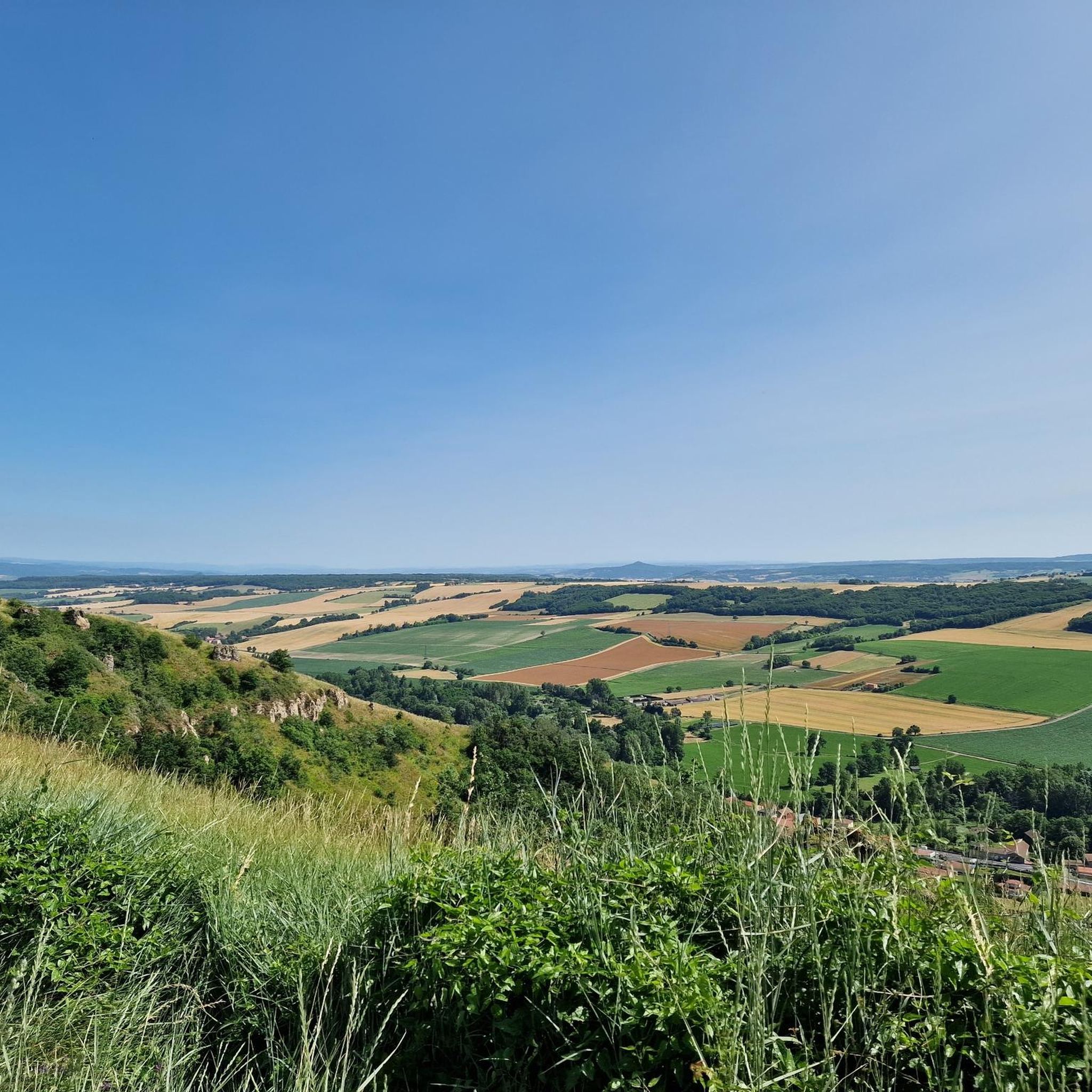
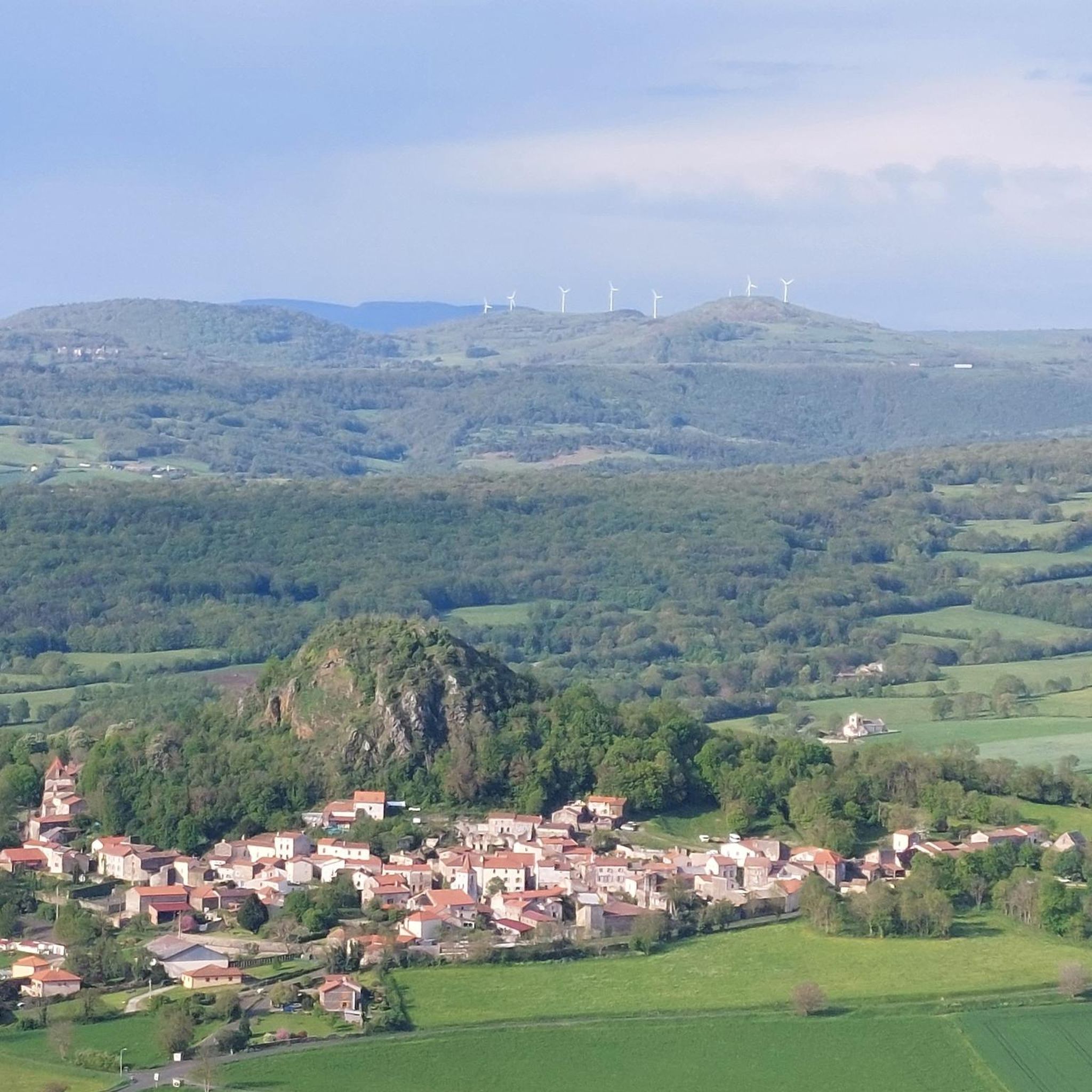
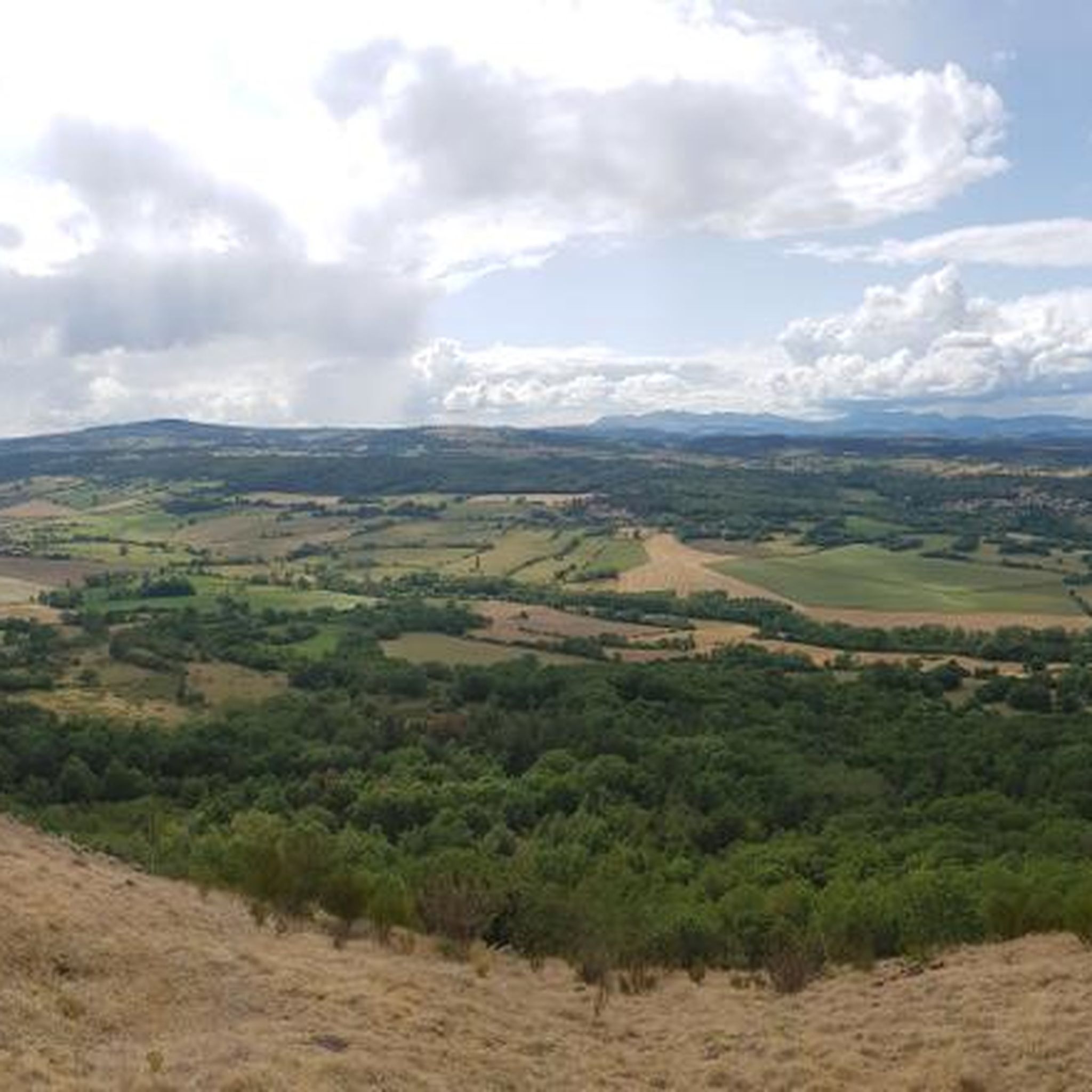
Puy d'Ysson is an ancient volcano which offers stunning views of the surrounding countryside and the nearby town of Issoire. You will be able to appreciate the rich history and culture of this region, as well as the diversity of flora and fauna that thrive on the volcanic soil.
3
0

Pretty grassy summit offering a 360 ° panoramic view of the Sancy, the chain of puys, the Livradois Forez, the Lembron plain and the Cézallier plateau. MTB or road routes by Solignat, or MTB by Vodable to discover !
3
0
Frequently Asked Questions
How many running routes are available around Solignat?
There are over 260 running routes around Solignat, offering a wide variety of options for all skill levels. This includes 20 easy routes, 191 moderate routes, and 56 difficult routes, ensuring there's a path for every runner.
What kind of terrain can I expect on the jogging routes in Solignat?
The jogging routes in Solignat feature diverse natural landscapes, including rolling plains, expansive forests, and ancient volcanic formations. You'll encounter a mix of ascents, descents, and flatter sections through fields and wooded areas, providing varied and engaging environments for runners.
Are there easy running routes suitable for beginners in Solignat?
Yes, Solignat offers several easy running routes perfect for beginners or those looking for a gentle jog. An example is the Running loop from Perrier, which is 5.0 km (3.1 miles) long with minimal elevation gain, taking about 31 minutes to complete.
Can I find routes with significant elevation gain for a more challenging run?
Absolutely. For a more challenging run with significant elevation, consider routes that ascend the Puy d'Ysson. For instance, the Pic d'Ysson – Puy d'Ysson loop from Antoingt is a difficult 10.9 km (6.8 miles) route with over 350 meters of elevation gain, offering panoramic views from the summit.
Are there any family-friendly running trails in Solignat?
While specific 'family-friendly' designations aren't always explicit for running, many of the easier, flatter routes through agricultural plains and forests would be suitable for families. The Running loop from Perrier is an easy option with gentle terrain that could be enjoyed by families.
Are dogs allowed on the jogging routes in Solignat?
Generally, dogs are welcome on many of the natural trails in the Solignat region, especially in rural and forested areas. However, it's always recommended to keep your dog on a leash, especially when passing through agricultural lands or near livestock, and to respect local signage regarding pet policies.
What are some notable natural features or landmarks I might see while running in Solignat?
While jogging in Solignat, you can encounter several unique natural features. The most prominent is the Puy d'Ysson, an ancient volcanic lava chimney offering 360-degree panoramic views. You might also spot the Fairy Chimneys of the Vallon des Fosses or the Mottes Cliffs, showcasing the region's volcanic past.
Are there circular running routes available in Solignat?
Yes, many of the running routes around Solignat are circular, allowing you to start and end at the same point. Examples include the Running loop from Solignat and the Running loop from La Haute Plaine, both offering varied terrain in a convenient loop format.
What is the best time of year for jogging in Solignat?
Solignat offers great jogging opportunities throughout the year. Spring and autumn provide pleasant temperatures and beautiful scenery. Summer is also suitable, with shaded paths through forests offering respite from the heat. Winter jogging is possible, but runners should be prepared for colder conditions and potentially muddy or icy trails.
Are there options for parking near the running trails in Solignat?
Yes, many trailheads in and around Solignat, especially those starting from villages like Solignat, Perrier, or Antoingt, typically have designated parking areas. It's advisable to check specific route details on komoot for parking information related to your chosen starting point.
What do other runners say about the trails in Solignat?
The running routes in Solignat are highly rated by the komoot community, with an average score of 4.2 stars from over 50 reviews. Runners often praise the diverse terrain, the stunning panoramic views from spots like Puy d'Ysson, and the tranquil setting of the forests and agricultural plains.
Can I access the jogging routes in Solignat using public transport?
While Solignat is a rural commune, some public transport options may connect to nearby larger towns. For specific bus routes or train connections to the Puy-de-Dôme department, it's best to consult local public transport networks like the Cherpa network for the most up-to-date information on routes and schedules.
What are some of the unique landscapes I'll encounter on a run in Solignat?
Jogging in Solignat allows you to experience a unique blend of landscapes. You'll run through ancient volcanic formations, vast agricultural plains, and varied forests. The region's proximity to the Parc naturel régional des Volcans d'Auvergne ensures a consistently high-quality natural environment with distinctive geological features and rich biodiversity.
Most popular attractions around Solignat

Get inspired with the komoot mobile app


Explore more
Browse the best Running Trails & Routes in other regions.
