The best running trails around Öttingen
4.3
(546)
11,766
runners
478
runs
Jogging around Öttingen offers diverse terrain within the Nördlinger Ries UNESCO Global Geopark and along the Wörnitz River. The region features varied landscapes, from flat riverside paths to rolling hills and forests, providing options for different running preferences. This unique geological setting, a meteorite crater, contributes to both gentle and more challenging routes with elevation changes. The surrounding countryside is characterized by open fields and wooded areas, creating a rich environment for outdoor running.
Best jogging routes around Öttingen
- The…
Last updated: June 26, 2026
4.7
(3)
180
runners
20.3km
02:17
380m
380m
Hard run. Very good fitness required. Sure-footedness, sturdy shoes and alpine experience required.
4.7
(3)
129
runners
11.4km
01:21
220m
220m
Moderate run. Good fitness required. Mostly paved surfaces. Suitable for all skill levels.

Sign up for free
5.0
(2)
23
runners
14.2km
01:31
190m
190m
Moderate run. Good fitness required. Mostly paved surfaces. Suitable for all skill levels.
20
runners
4.52km
00:28
30m
30m
Easy run. Great for any fitness level. Mostly paved surfaces. Suitable for all skill levels.
12
runners
11.1km
01:20
210m
210m
Moderate run. Good fitness required. Mostly paved surfaces. Suitable for all skill levels.
Get access to more routes and recommendations from other explorers.
Sign up for free
Already have an account?
Our route recommendations are based on thousands of hikes, rides, and runs completed by other people on komoot.
Start today with a free account
Your next adventure awaits.
Login or Signup
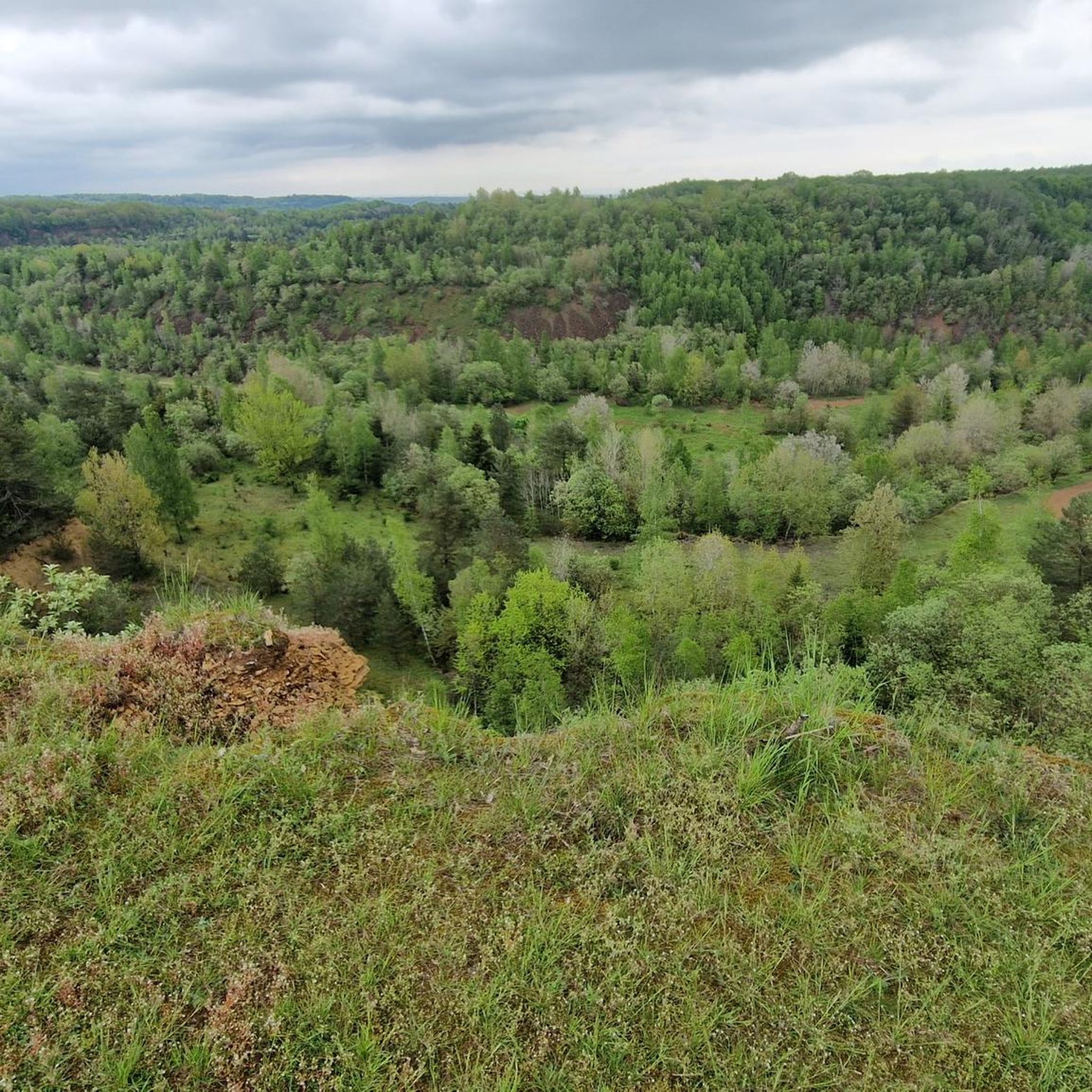
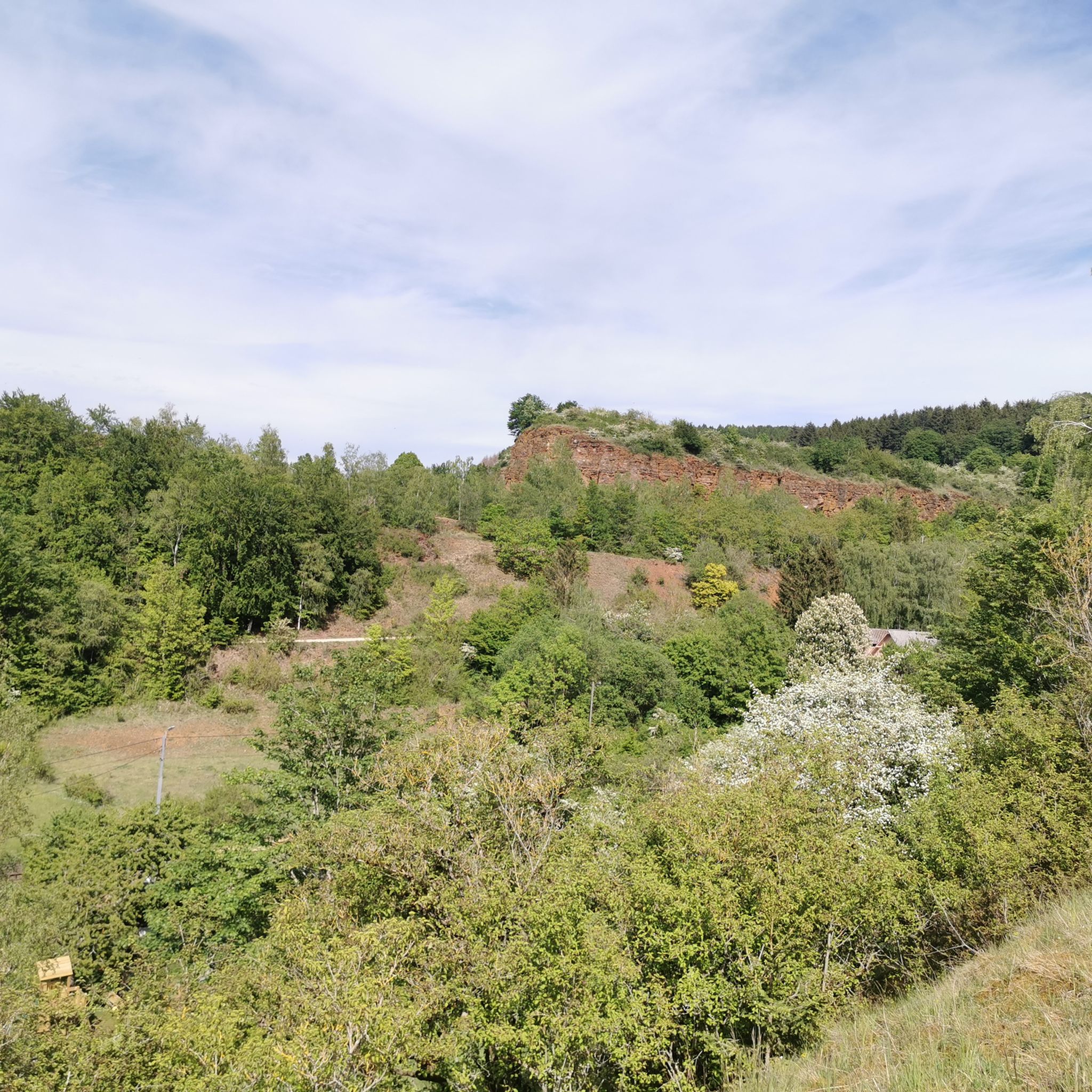
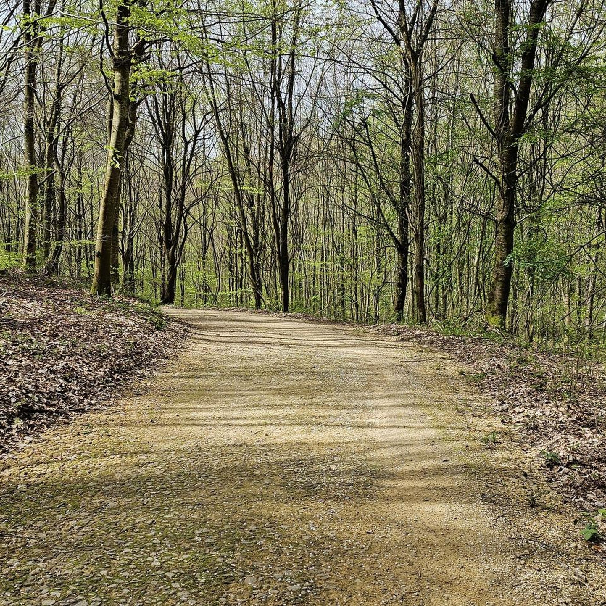
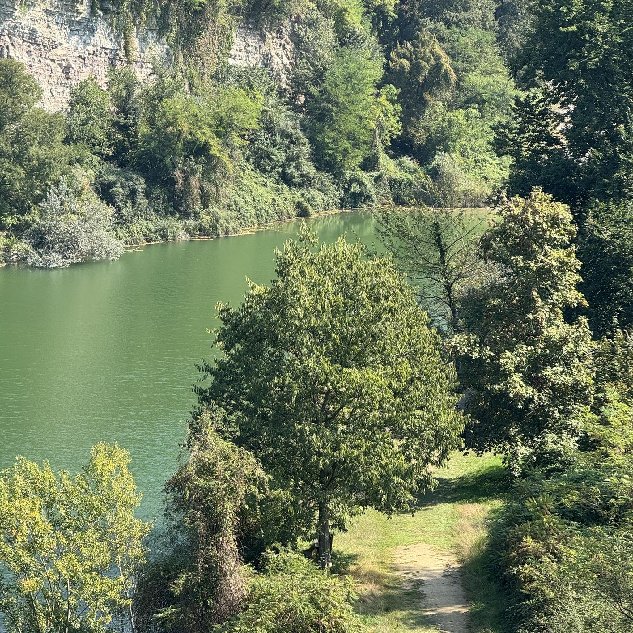
Tips from the Community

Despite the dense vegetation, it's a good spot to enjoy the view, especially after the climb.
0
0

Remains of a machine shed in the former Herenterberg ore mining area.
0
0

A very nice route for gravel riding, a bit technical when it's wet.
0
0

An exciting relic from the days of ore mining. Spectacular with a fantastic view!
1
0


A toilet right next door, remains of a train just opposite
0
0


The wagon was probably used to dispose of slag. There is a pile of slag on the slope directly in front of it. If you look closely, you can see a whole lot more of it further down.
1
0
Frequently Asked Questions
How many running routes are available in Öttingen?
There are over 480 running routes around Öttingen listed on komoot, offering a wide variety of options for all fitness levels. These include 57 easy routes, 337 moderate routes, and 86 difficult routes.
What kind of terrain can I expect on running trails around Öttingen?
The region offers diverse terrain. You'll find flat, picturesque paths along the Wörnitz River, as well as routes traversing rolling hills and forests within the unique Nördlinger Ries UNESCO Global Geopark. This ancient meteorite crater provides varied landscapes, from gentle slopes to more challenging ascents.
Are there routes suitable for beginners or easy runs?
Yes, Öttingen offers 57 easy running routes perfect for beginners or those looking for a relaxed jog. These often include the flat riverside paths along the Wörnitz River, providing a scenic and gentle experience.
Can I find longer running routes for endurance training?
Absolutely. For those seeking longer distances, routes like the Old Concrete Mixer on Rails – Picnic Table in the Forest loop from Rumelange cover over 20 kilometers (12.6 miles) with significant elevation, ideal for endurance training. Another option is The Ruined House loop from Ottange, which is nearly 19 kilometers long.
Are there any scenic viewpoints or natural features to look out for while running?
Yes, the region is rich in natural beauty. Many routes offer breathtaking panoramic views across the expansive Nördlinger Ries crater. You'll also find picturesque riverside scenery along the Wörnitz River and tranquil paths through forests and open fields. The unique geological features of the Geopark are a constant highlight.
What do other runners say about the routes in Öttingen?
The running routes in Öttingen are highly rated by the komoot community, with an average score of 4.2 stars from over 500 reviews. Runners often praise the diverse landscapes, from the tranquil riverside paths to the scenic trails within the Nördlinger Ries, and the variety of options for different fitness levels.
Are there circular running routes available?
Many of the running routes in Öttingen are designed as loops, allowing you to start and finish in the same location. Examples include the Liégeois-Weier Pond – Ancient Ore Transport Towers loop from Rumelange and the Running loop from Rumelange, offering convenient circular options.
Are the running trails in Öttingen family-friendly?
Yes, many of the easier and moderate routes, particularly those along the Wörnitz River or through less challenging forest sections, are suitable for families. These paths often have gentler gradients and provide a pleasant environment for a family jog or walk.
Can I bring my dog on the running trails?
Generally, dogs are welcome on most natural trails in the Öttingen region, especially in the open countryside and forest areas. However, it's always advisable to keep your dog on a leash, especially in nature reserves or areas with wildlife, and to be mindful of local regulations and other trail users.
Where can I park when accessing running trails in Öttingen?
Parking is generally available in and around Öttingen, particularly near popular starting points for trails. Many routes begin close to town centers or designated parking areas in natural parks. Specific parking information can often be found on individual route pages on komoot.
Is it possible to reach running trails using public transport?
While some trails might be accessible via local bus services, Öttingen is a smaller town, and public transport options directly to trailheads might be limited. It's best to check local bus schedules for routes connecting to the outskirts of town or specific natural areas. Many runners choose to start their runs directly from the town center.
Are there any specific attractions or landmarks near the running routes?
Beyond the natural beauty, you might encounter historical sites or other points of interest. For example, the Gro Minière Iron Ore Mine is a historical site that could be near some routes. The town of Öttingen itself offers a charming historic center with unique architecture, which can serve as an interesting starting or ending point for your run.
What are some of the more challenging running routes in the area?
For experienced runners seeking a challenge, Öttingen offers 86 difficult routes. The Old Concrete Mixer on Rails – Picnic Table in the Forest loop from Rumelange is a prime example, featuring significant elevation gain over its 20.3 km (12.6 miles) distance, making it suitable for a demanding workout.
Most popular attractions around Öttingen

Get inspired with the komoot mobile app


Explore more
Browse the best Running Trails & Routes in other regions.
