The best walks and hikes around Oberhomburg
4.3
(271)
1,340
hikers
27
hikes
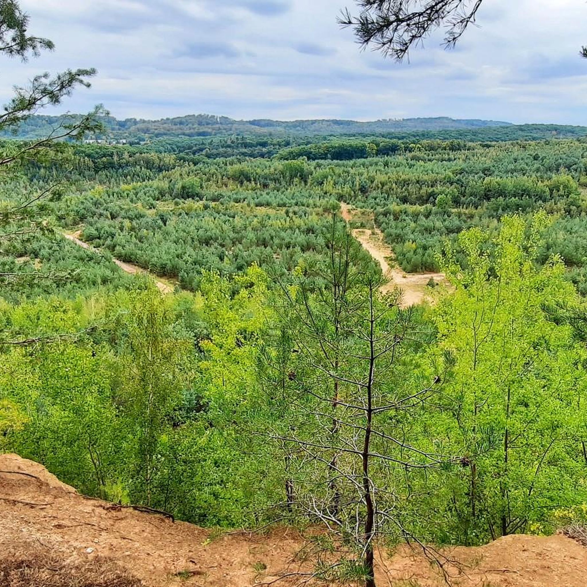
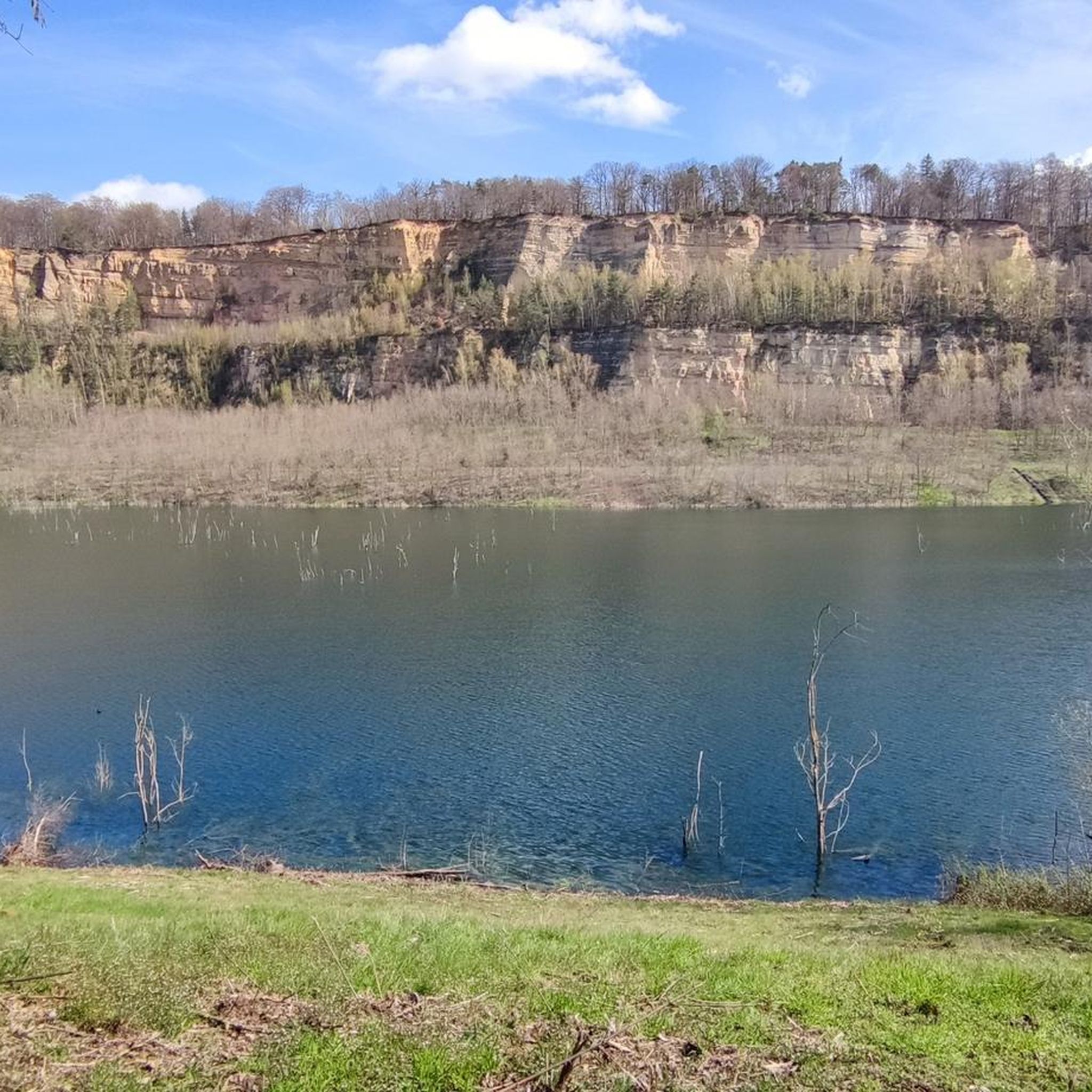
Hiking trails near Oberhomburg traverse a landscape characterized by diverse natural features. The region includes extensive forests, such as those found along the "Joli chemin forestier," and scenic bodies of water like the "Pond Behind the Paper Mill." Terrain varies from gentle paths to routes with significant elevation gain, offering a range of hiking experiences. Natural monuments and historical sites are integrated into the trail network.
Best hiking trails around Oberhomburg
- The most popular hiking route is Joli chemin forestier…
Last updated: July 9, 2026
4.8
(13)
51
hikers
11.0km
03:03
200m
200m
Moderate hike. Good fitness required. Easily-accessible paths. Suitable for all skill levels.
4.7
(6)
26
hikers
Moderate hike. Good fitness required. Easily-accessible paths. Suitable for all skill levels.

Sign up for free
4.3
(4)
25
hikers
3.23km
00:54
60m
60m
Easy hike. Great for any fitness level. Easily-accessible paths. Suitable for all skill levels.
3.5
(2)
14
hikers
8.74km
02:29
190m
190m
Moderate hike. Good fitness required. Easily-accessible paths. Suitable for all skill levels.
2.0
(2)
8
hikers
Moderate hike. Good fitness required. Easily-accessible paths. Suitable for all skill levels.
Get access to more routes and recommendations from other explorers.
Sign up for free
Already have an account?
Our route recommendations are based on thousands of hikes, rides, and runs completed by other people on komoot.
Start today with a free account
Your next adventure awaits.
Login or Signup

Tips from the Community

Unfortunately the route is blocked between point 12 and the end. There is a new metal barrier blocking the way
0
0

The beautiful Marie Rocchia hiking trail runs here.
1
0
The Katharine Chapel is beautifully situated on a green meadow, in the chapel garden. The chapel from the 13th century was formerly the house chapel of a knightly family.
1
0
The church dates from the 14th century and has rich medieval interiors. The church has been classified as a monument historique since 1930. A sign on the church points this out. It is located on the Way of St. James and is decorated with a scallop shell.
1
0
The St. Catherine's Chapel is located in the chapel garden, beautifully surrounded by greenery. It dates back to the 13th century and used to be the house chapel of a knightly family. A scallop shell decorates the chapel.
1
0
If you drive from Oberhombourg to Niederhombourg you pass through a city gate and past sparse remains of the city wall. From up here you can take a look at Niederhombourg.
1
0
The church is from the 14th century and shows rich medieval interiors. The church has been classified as a monument historique since 1930. A sign on the church points this out. The church is on the Way of St. James.
1
0
The Marie Rocchia hiking trail begins here.
1
0
Frequently Asked Questions
How many hiking trails are available in Oberhomburg?
Oberhomburg offers a network of 27 distinct hiking trails, catering to various preferences and fitness levels. These range from easy strolls to more challenging routes.
Are there easy or family-friendly hiking options in Oberhomburg?
Yes, Oberhomburg has 16 easy trails, making it suitable for families and those looking for a relaxed walk. An example is the Joli chemin forestier – Pond Behind the Paper Mill loop from Hombourg-Haut, which is 3.9 miles (6.2 km) long and takes about 1 hour 46 minutes, leading through wooded areas and past a scenic pond.
Are there any challenging hikes in Oberhomburg for experienced hikers?
While most trails are easy to moderate, there is 1 difficult route available for those seeking a more strenuous experience. The varied terrain in Oberhomburg includes paths with significant climbs, some requiring sure-footedness.
What kind of natural landscapes can I expect to see while hiking in Oberhomburg?
Hikers in Oberhomburg will encounter diverse natural settings, including extensive forests, picturesque lakes and ponds like the Pond Behind the Paper Mill, and various natural monuments. The terrain itself is varied, offering both gentle paths and routes with significant elevation changes.
Are there any circular hiking routes in Oberhomburg?
Many of the trails in Oberhomburg are designed as loops, offering convenient circular routes. For instance, the Joli chemin forestier – View from Edelweiss Rock loop from Hombourg Bas is a moderate 6.8-mile (11.0 km) trail that provides scenic views from Edelweiss Rock.
What historical or cultural sites can I explore on a hike in Oberhomburg?
The region integrates historical and cultural points of interest into its trail network. You can explore sites like the Grotto of the Virgin Mary, the Chapelle Sainte-Catherine, and the Old Town Gate. The Collégiale Saint-Étienne – Chapelle Sainte-Catherine loop from Hombourg-Haut is a moderate 6.6-mile (10.6 km) path that passes by historical chapels.
Are there good viewpoints along the hiking trails in Oberhomburg?
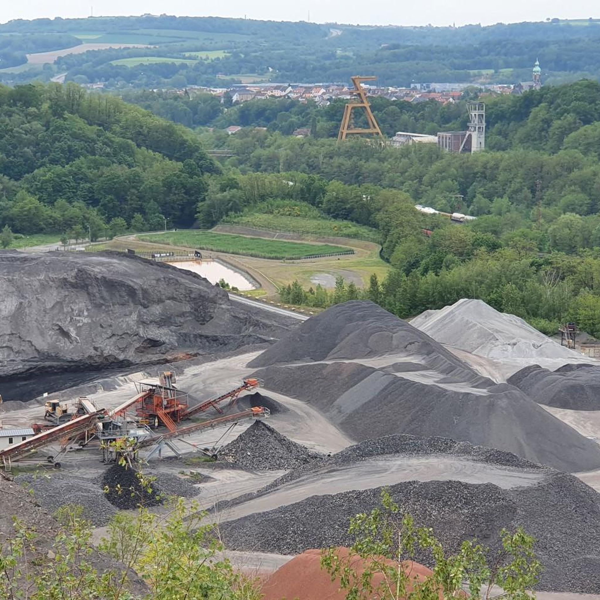
Yes, several trails offer rewarding viewpoints. The Joli chemin forestier – View from Edelweiss Rock loop from Hombourg Bas provides excellent views from Edelweiss Rock. Additionally, the Panoramic Platform at Barrois Quarry is another notable viewpoint in the area.
Can I bring my dog on the hiking trails in Oberhomburg?
Most hiking trails in Oberhomburg are dog-friendly, allowing you to enjoy the natural beauty with your canine companion. However, it's always advisable to keep dogs on a leash and check for any specific local regulations or protected areas along your chosen route.
What do other hikers say about the trails in Oberhomburg?
The hiking routes in Oberhomburg are highly regarded by the komoot community, holding an average rating of 4.4 stars from over 200 reviews. More than a thousand hikers have explored the area, often praising the diverse terrain, dense forests, and picturesque ponds.
Are there any trails that feature water bodies like lakes or ponds?
Yes, the region is known for its scenic bodies of water. The Joli chemin forestier – Pond Behind the Paper Mill loop from Hombourg-Haut specifically leads past a pond. You can also find other lakes in the vicinity, such as Warndtweiher, which can be incorporated into longer excursions.
Is there parking available near the trailheads in Oberhomburg?
While specific parking details vary by trailhead, many popular starting points for hikes in Oberhomburg offer designated parking areas. It's recommended to check the individual tour details on komoot for the most accurate information regarding parking facilities for your chosen route.
What is the best time of year to go hiking in Oberhomburg?
Oberhomburg offers enjoyable hiking experiences throughout much of the year. Spring and autumn provide pleasant temperatures and vibrant scenery with blooming flowers or colorful foliage. Summer is also popular, though some trails might be more shaded in forested areas. Winter hiking is possible, but conditions can vary, so checking local weather is advised.
Most popular routes around Oberhomburg
Most popular attractions around Oberhomburg

Get inspired with the komoot mobile app


Explore more
Browse the best Hikes in other regions.
