The best MTB trails around Ternant-Les-Eaux
4.5
(17)
78
riders
28
rides
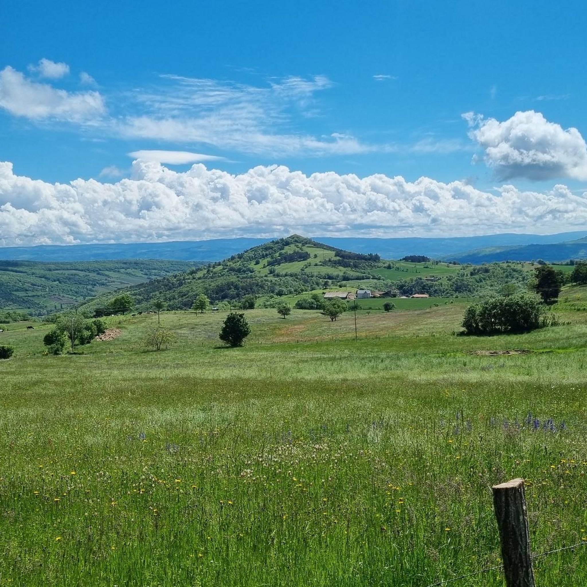
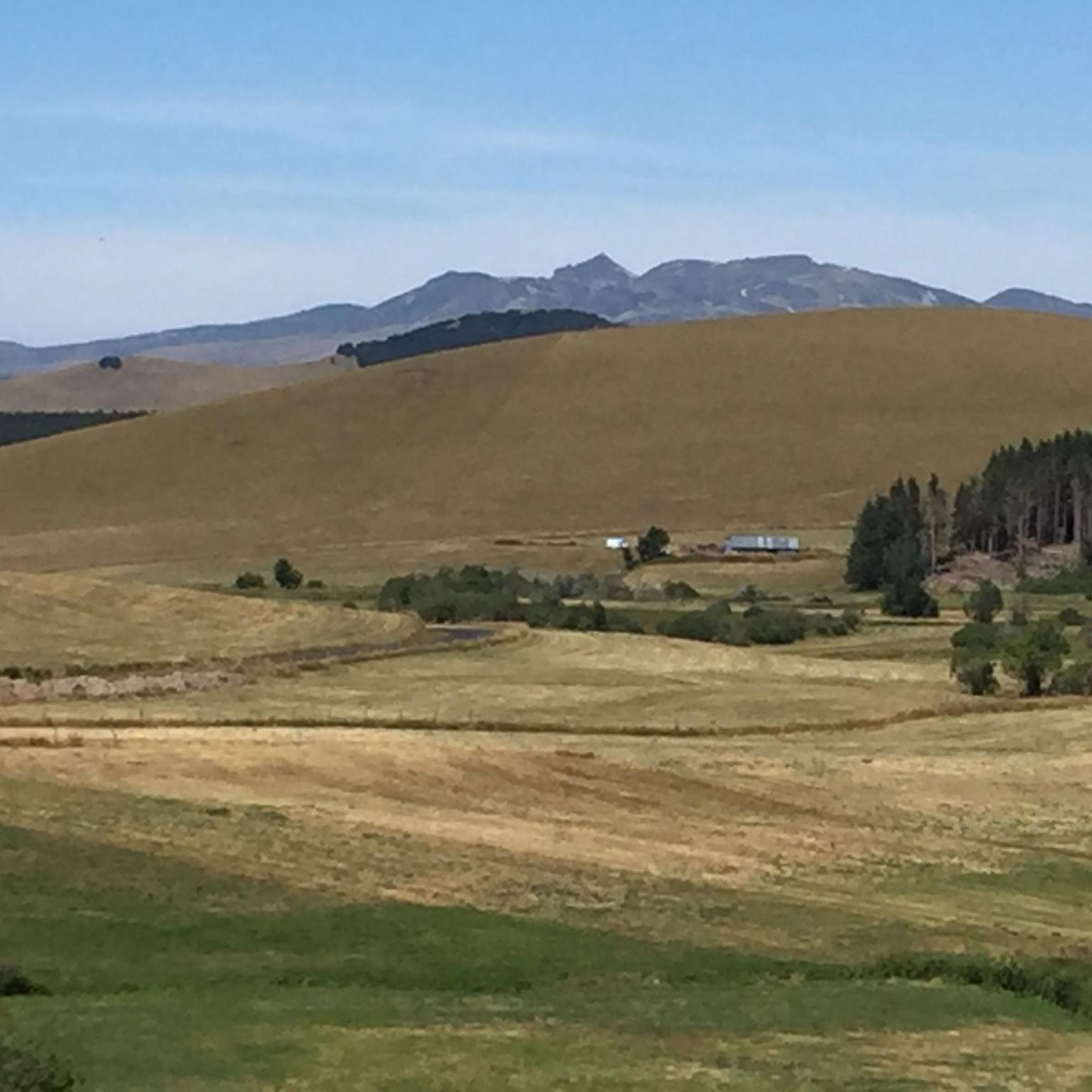
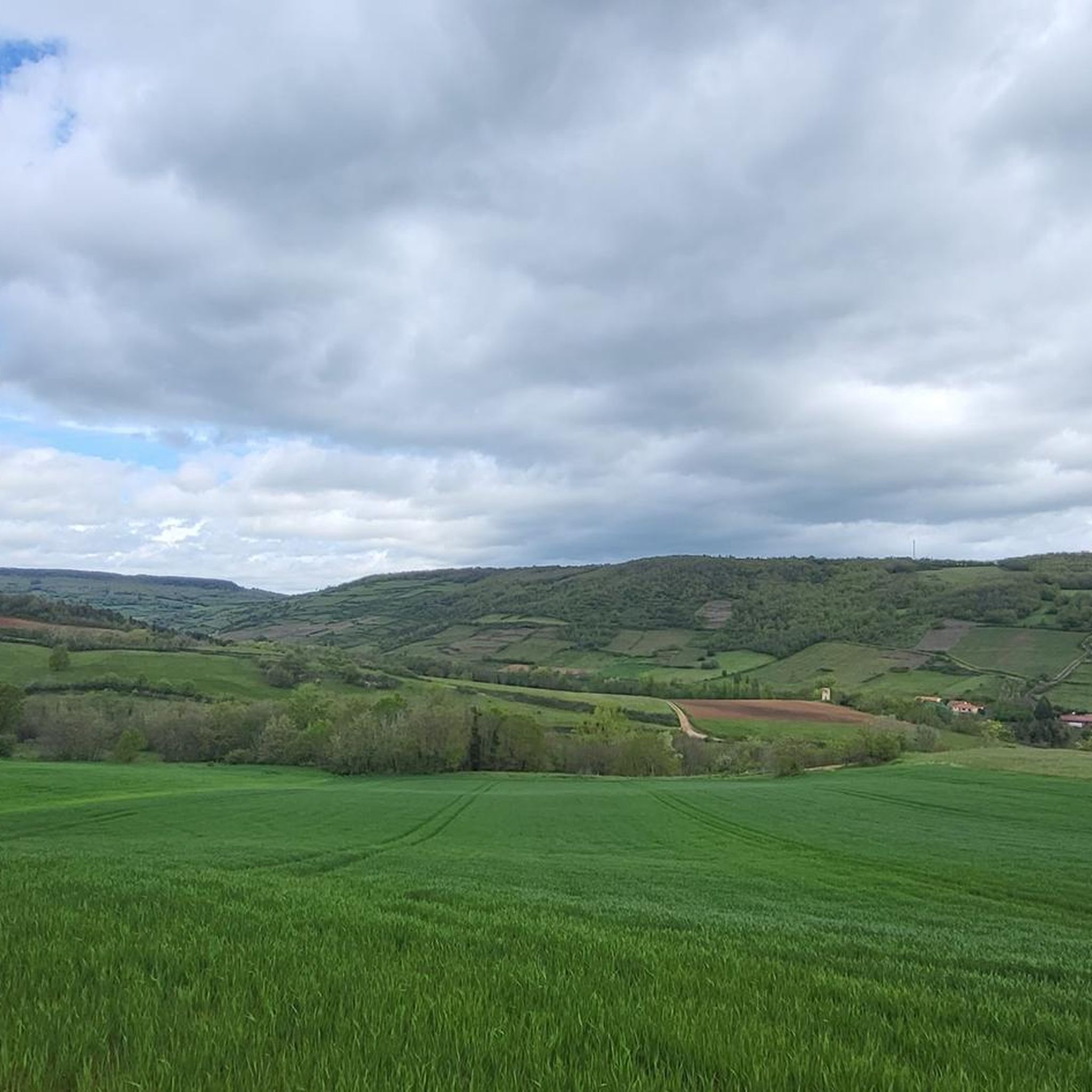
Mountain biking around Ternant-Les-Eaux offers diverse terrain within the Puy-de-Dôme department of the Auvergne-Rhône-Alpes region. The area is characterized by its volcanic origins, with elevations ranging from approximately 558 to 871 meters, providing varied landscapes for exploration. Riders can expect routes that traverse forests, hills, and plateaus, often near the Parc Naturel Régional des Volcans d'Auvergne. This region provides a mix of challenging climbs and scenic descents across its natural features.
Best mountain bike trails around Ternant-Les-Eaux
- The most popular…
Last updated: June 29, 2026
5.0
(1)
12
riders
Moderate mountain bike ride. Good fitness required. Suitable for all skill levels.
3.0
(1)
9
riders
47.5km
04:09
910m
910m
Hard mountain bike ride. Very good fitness required. Suitable for all skill levels.

Sign up for free
2
riders
37.6km
03:27
1,000m
1,000m
Hard mountain bike ride. Very good fitness required. Suitable for all skill levels.
3.5
(2)
6
riders
30.3km
02:42
690m
690m
Moderate mountain bike ride. Good fitness required. Suitable for all skill levels.
5.0
(3)
10
riders
39.1km
02:34
210m
210m
Moderate mountain bike ride. Good fitness required. Suitable for all skill levels.
Get access to more routes and recommendations from other explorers.
Sign up for free
Already have an account?
Our route recommendations are based on thousands of hikes, rides, and runs completed by other people on komoot.
Start today with a free account
Your next adventure awaits.
Login or Signup


Tips from the Community

superb little path between the Couze Pavin and the salt springs of Saurier
0
0

This section of the Via Allier offers a view of the village of Usson, perched on its volcanic peak. It is one of the "Most Beautiful Villages of France."
0
0

Magnificent stop at Saurier with a good history lesson and a visit to the church too
0
0
The bridge will be rehabilitated to integrate the greenway for soft mobility
0
0
You can stop at the village bakery
0
0

Wear sturdy footwear and bring plenty of water and food. There are no restaurants or cafes nearby.
0
0

St Austremoine is one of the most beautiful of the 5 remarkable churches in the region.
0
0

The Colorado Auvergne: a magical place with red cliffs of several sedimentary layers. The first layers date back more than 400 million years. The upper part of the cliff was created by a lava flow.
0
0
Frequently Asked Questions
How many mountain bike trails are available around Ternant-les-Eaux?
There are over 30 mountain bike trails around Ternant-les-Eaux listed on komoot. These routes offer a variety of experiences across the region's volcanic landscapes.
What are the difficulty levels of the mountain bike trails in this area?
The trails around Ternant-les-Eaux cater to various skill levels. You'll find 5 easy routes, 14 moderate routes, and 11 difficult routes, ensuring options for beginners to experienced riders.
What kind of terrain can I expect when mountain biking near Ternant-les-Eaux?
The terrain is characterized by its volcanic origins, with elevations ranging from approximately 558 to 871 meters. Riders can expect varied landscapes, including dense forests, rolling hills, and plateaus, often near the Parc Naturel Régional des Volcans d'Auvergne. Trails can feature challenging climbs and scenic descents.
Are there any circular mountain bike routes available?
Yes, many of the mountain bike routes around Ternant-les-Eaux are designed as loops. For example, the difficult Menhir de Gourdon – View of the Puy d'Olloix Ridge loop from Saint-Floret offers panoramic views, while the moderate Mottes Cliff – The Roman Spring of Bard loop from Boudes explores varied landscapes.
What natural landmarks or points of interest can I see along the trails?
The region offers several notable natural landmarks. You might encounter the impressive Mottes Cliffs, the unique Fairy Chimneys of the Vallon des Fosses, or the scenic Pic d'Ysson. Some routes also pass by the Source de Barde, one of the area's natural mineral springs.
What do other mountain bikers say about the trails around Ternant-les-Eaux?
The mountain bike trails in this area are highly regarded by the komoot community, holding an average rating of 4.6 stars from 19 reviews. Riders often praise the diverse volcanic landscapes, the mix of challenging and moderate routes, and the scenic beauty of the region.
Are there any family-friendly mountain bike trails near Ternant-les-Eaux?
While many routes feature significant elevation changes, there are 5 easy routes available that might be suitable for families or those looking for a less strenuous ride. Always check the specific route details for distance and elevation to ensure it matches your family's ability.
Can I bring my dog on the mountain bike trails?
Many trails in natural areas of France, including the Auvergne region, are generally dog-friendly, especially if your dog is well-behaved and kept on a leash. However, it's always best to check local regulations for specific trails or protected areas within the Parc Naturel Régional des Volcans d'Auvergne to ensure compliance.
What is the best season for mountain biking in Ternant-les-Eaux?
The Auvergne region generally offers pleasant conditions for mountain biking from spring through autumn. Spring brings lush greenery, while autumn provides vibrant colors. Summer can be warm but is often popular. Winter riding is possible but may be affected by snow or colder temperatures, especially at higher elevations.
Are there any challenging routes for experienced mountain bikers?
Yes, there are 11 difficult routes for experienced riders seeking a challenge. For instance, the Cirque des Mottes – Mottes Cliffs loop from Boudes is a difficult 23.4-mile (37.6 km) trail with challenging climbs and over 1000 meters of elevation gain.
Where can I find parking for the mountain bike trails?
While specific parking information for every trailhead isn't always available, routes often start from villages or designated parking areas. For example, the Gallo-Roman Bridge – Saurier loop from Les Deux-Rives starts from Les Deux-Rives, and the Saint-Nectaire Church – Montaigut-le-Blanc loop from Saint-Vincent begins near Saint-Vincent. Look for parking facilities in or near the starting points of the routes.
Most popular routes around Ternant-Les-Eaux
Most popular attractions around Ternant-Les-Eaux

Get inspired with the komoot mobile app


Explore more
Browse the best MTB trails in other regions.
