The best running trails around Rentières
4.3
(7)
346
runners
63
runs
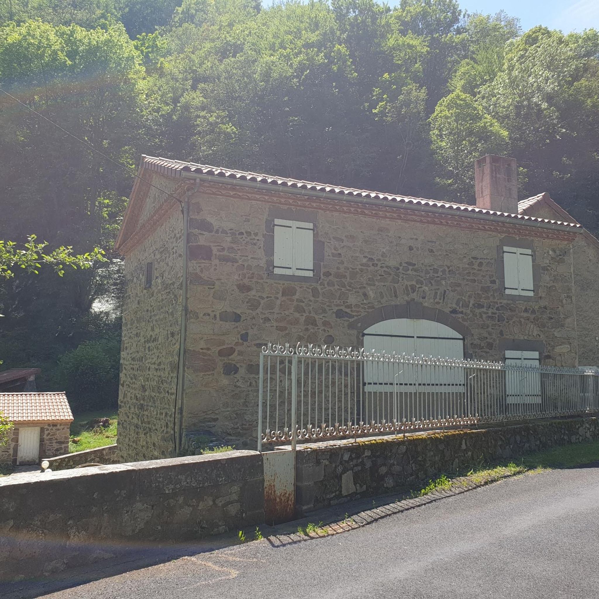
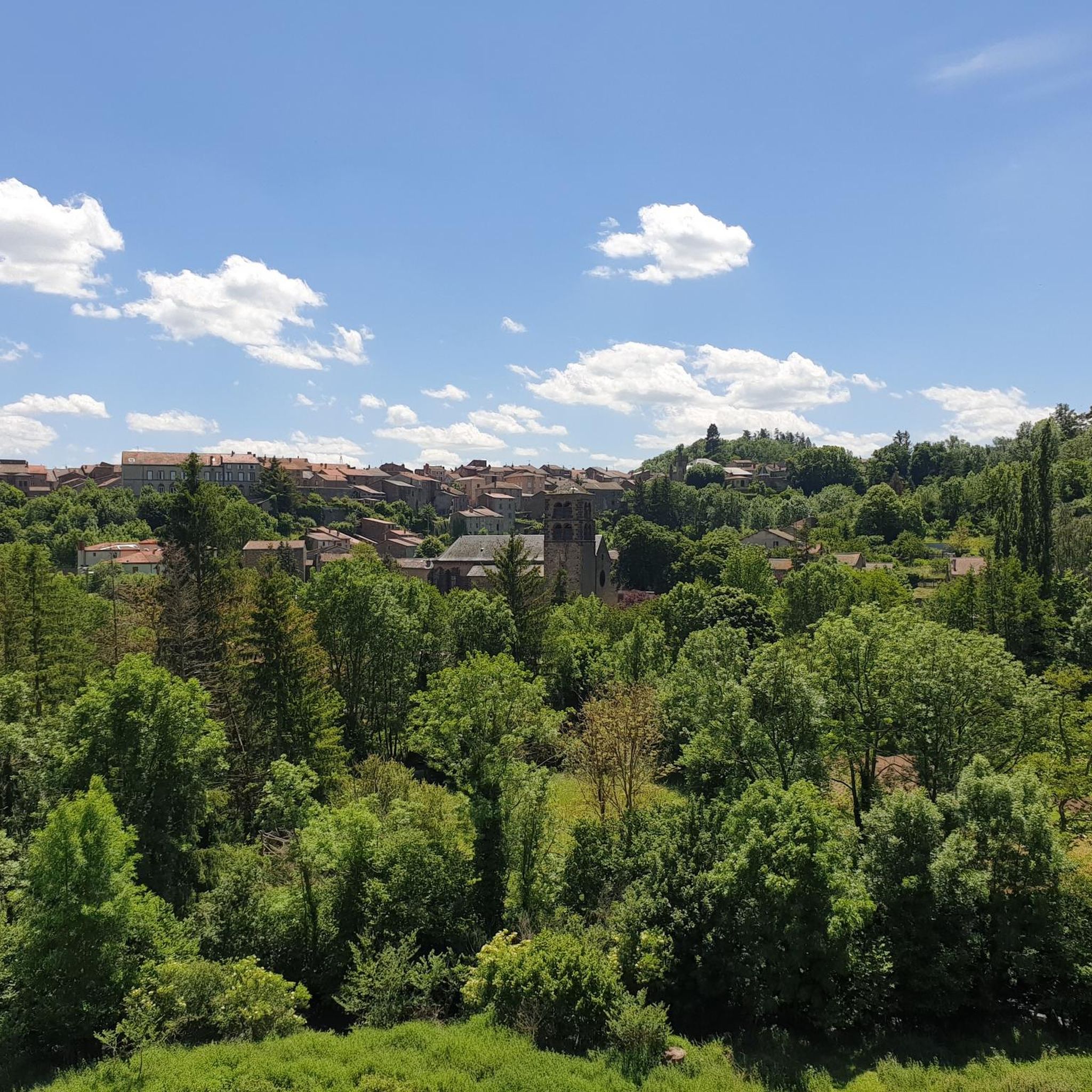
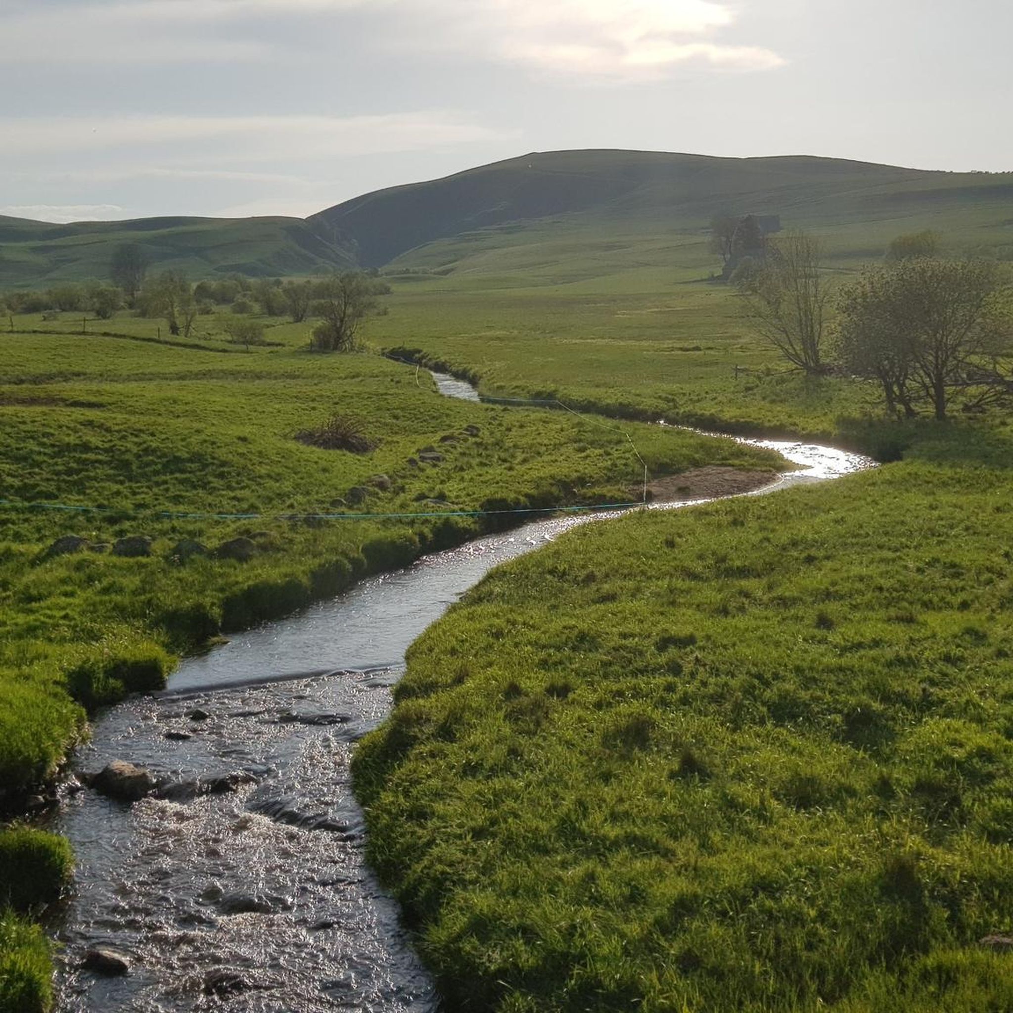
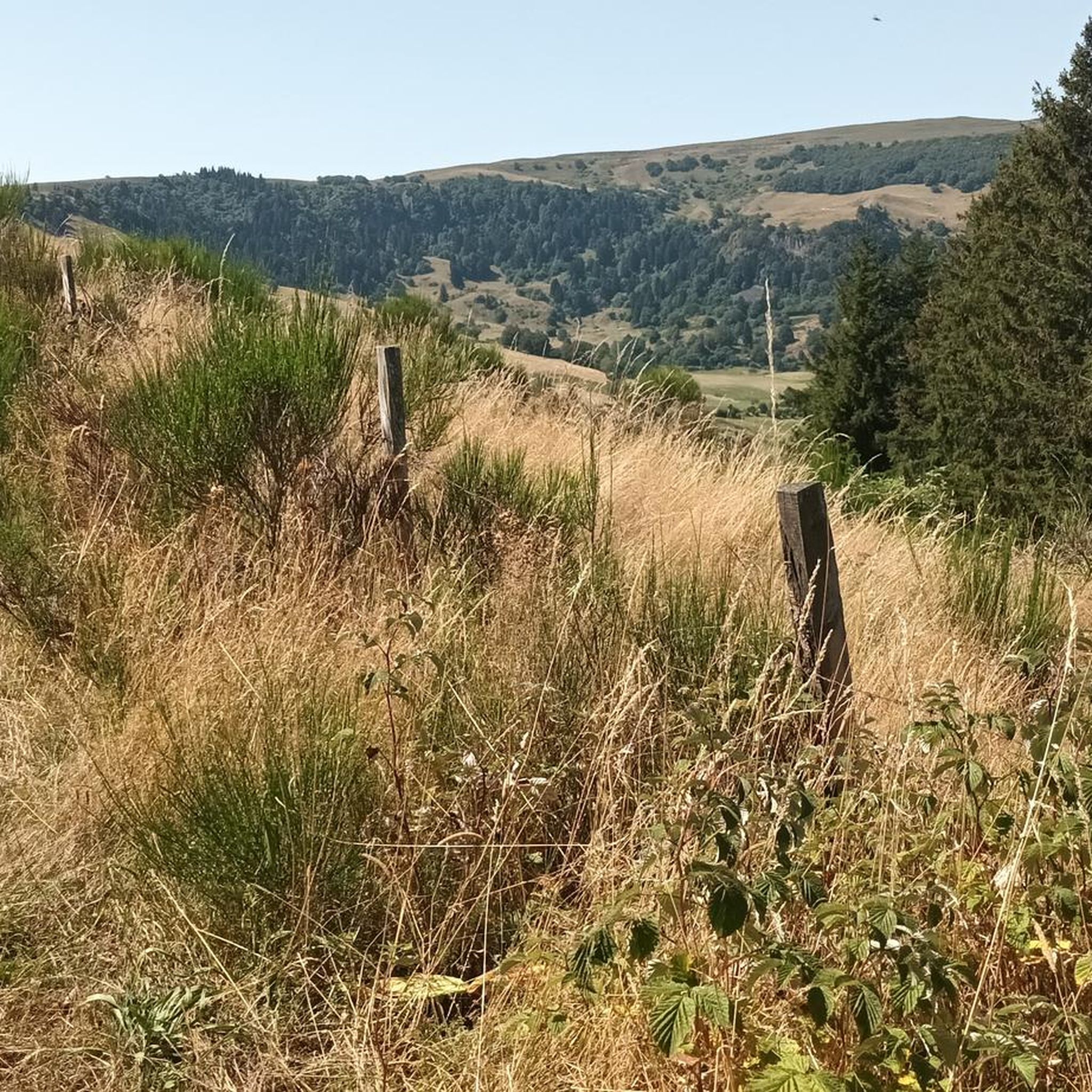
Jogging around Rentières offers diverse terrain within the Auvergne Volcanoes Regional Natural Park. The Rentières valley, shaped by the Couze d'Ardes river, features altitudes ranging from 600m to 1275m, providing varied ascents and descents. The landscape includes basaltic formations, metamorphic bedrock, and a mix of oak and beech forests interspersed with open meadows. The village itself is situated on the gorges of the Couze, adding to the scenic character of the running routes.
Best jogging routes around Rentières
- The most…
Last updated: July 13, 2026
14
runners
10.6km
01:20
260m
260m
Moderate run. Good fitness required. Mostly paved surfaces. Suitable for all skill levels.
13
runners
11.4km
01:26
270m
260m
Moderate run. Good fitness required. Mostly paved surfaces. Suitable for all skill levels.

Sign up for free
9
runners
10.3km
01:13
210m
210m
Moderate run. Good fitness required. Mostly paved surfaces. Suitable for all skill levels.
4.0
(1)
7
runners
10.8km
01:12
240m
240m
Moderate run. Good fitness required. Mostly paved surfaces. Suitable for all skill levels.
4
runners
10.1km
01:18
340m
340m
Hard run. Very good fitness required. Mostly paved surfaces. Suitable for all skill levels.
Get access to more routes and recommendations from other explorers.
Sign up for free
Already have an account?
Our route recommendations are based on thousands of hikes, rides, and runs completed by other people on komoot.
Start today with a free account
Your next adventure awaits.
Login or Signup

Frequently Asked Questions
How many running routes are available around Rentières?
There are over 60 running routes available around Rentières, offering a wide range of options for different skill levels and preferences. These routes explore the diverse landscapes of the Auvergne Volcanoes Regional Natural Park.
What kind of terrain can I expect on running trails in Rentières?
Running trails in Rentières feature a diverse topography, with altitudes ranging from 600m to 1275m. You'll encounter a mix of ascents and descents, basaltic formations, metamorphic gneiss bedrock, and a blend of oak and beech forests interspersed with open meadows. The village itself is perched on the gorges of the Couze d'Ardes river, adding to the scenic character.
Are there easy running routes suitable for beginners or families in Rentières?
Yes, Rentières offers several easy running routes perfect for beginners or families. There are 4 easy routes available, providing gentle paths to enjoy the natural beauty without significant challenges. Many hiking trails, like the 'Circuit de la Vallée des Saints', can also be enjoyed as easy jogging routes.
Can I find challenging running routes in the Rentières area?
Absolutely. For experienced runners seeking a challenge, Rentières has 20 difficult running routes. These trails often feature more significant elevation changes and rugged terrain, such as the 360-degree view loop from Boudes, which includes over 340 meters of ascent.
What natural features or landmarks can I see along the running routes?
The region is rich in natural wonders. You can explore unique geological formations like the Mottes Cliffs and the Fairy Chimneys of the Vallon des Fosses. Water features such as the Cascade du Gour d'Appat and Lac des Bordes also offer refreshing sights. Many routes provide panoramic views, including those from the Volpilière Pass.
Are there any circular running routes in Rentières?
Yes, many of the running routes around Rentières are circular, allowing you to start and finish at the same point. Examples include the popular Château de Perpezat loop from Apchat and the 360-degree view loop from Madriat, which offer varied scenery and return you to your starting location.
What do other runners enjoy most about jogging in Rentières?
The running routes in Rentières are highly rated by the komoot community, with an average score of 4.25 stars from 5 reviews. Over 300 runners have explored the area, often praising the varied topography, the mix of forests and open landscapes, and the rewarding panoramic views of the Auvergne Volcanoes Regional Natural Park.
Are there running routes that offer great viewpoints?
Yes, Rentières is known for its stunning vistas. Routes often lead to locations like the Panorama sur la vallée du Couty, offering expansive views. The 'dent' du Monty and the 'Doigt de Mercœur' are also significant natural landmarks providing commanding views over the Rentières valley and surrounding landscapes.
What is the typical length and duration of running trails in this region?
The running trails vary in length and duration. Moderate routes, such as the Château de Perpezat loop from Augnat, are typically around 7 miles (11 km) and can take about 1 hour 25 minutes to complete. Shorter, easier options are also available, while difficult routes can be longer and take more time due to elevation.
Are there any protected natural areas that running routes pass through?
Many running routes in Rentières are situated within or near protected natural areas. The village is in the heart of the Auvergne Volcanoes Regional Natural Park, and you can find trails close to the Vallée des Saints, a sensitive natural area, and the Réserve Naturelle du rocher de la Jaquette, ensuring well-preserved environments for your run.
Is Rentières a good destination for trail running?
Rentières is an excellent destination for trail running due to its comprehensive network of paths and diverse terrain. The mix of ascents, descents, forests, and open meadows, combined with unique geological formations, provides a varied and engaging experience for trail runners of all levels.
Most popular attractions around Rentières

Get inspired with the komoot mobile app


Explore more
Browse the best Running Trails & Routes in other regions.
