The best cycling routes around Saint-Alyre-Ès-Montagne
4.8
(35)
285
riders
55
rides
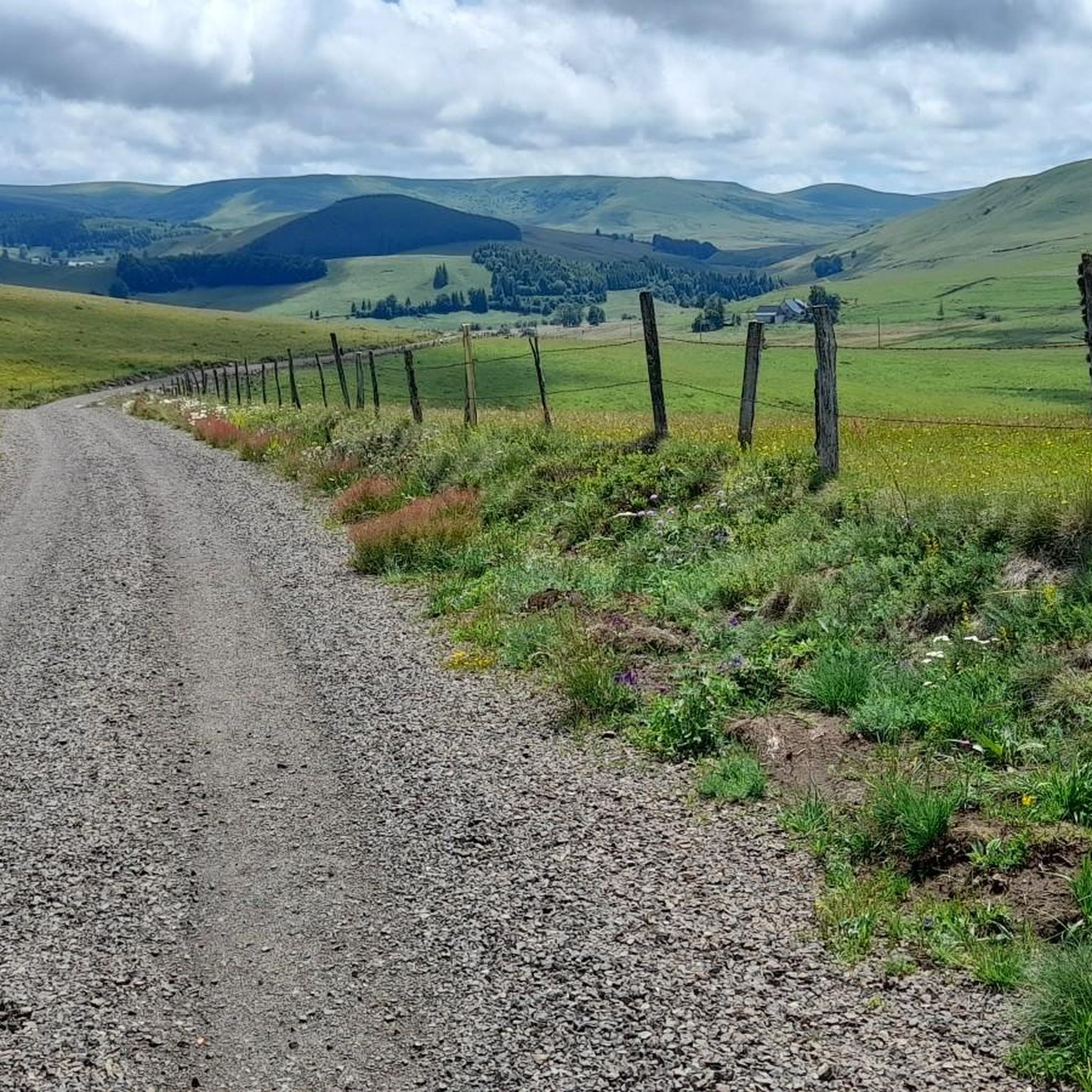
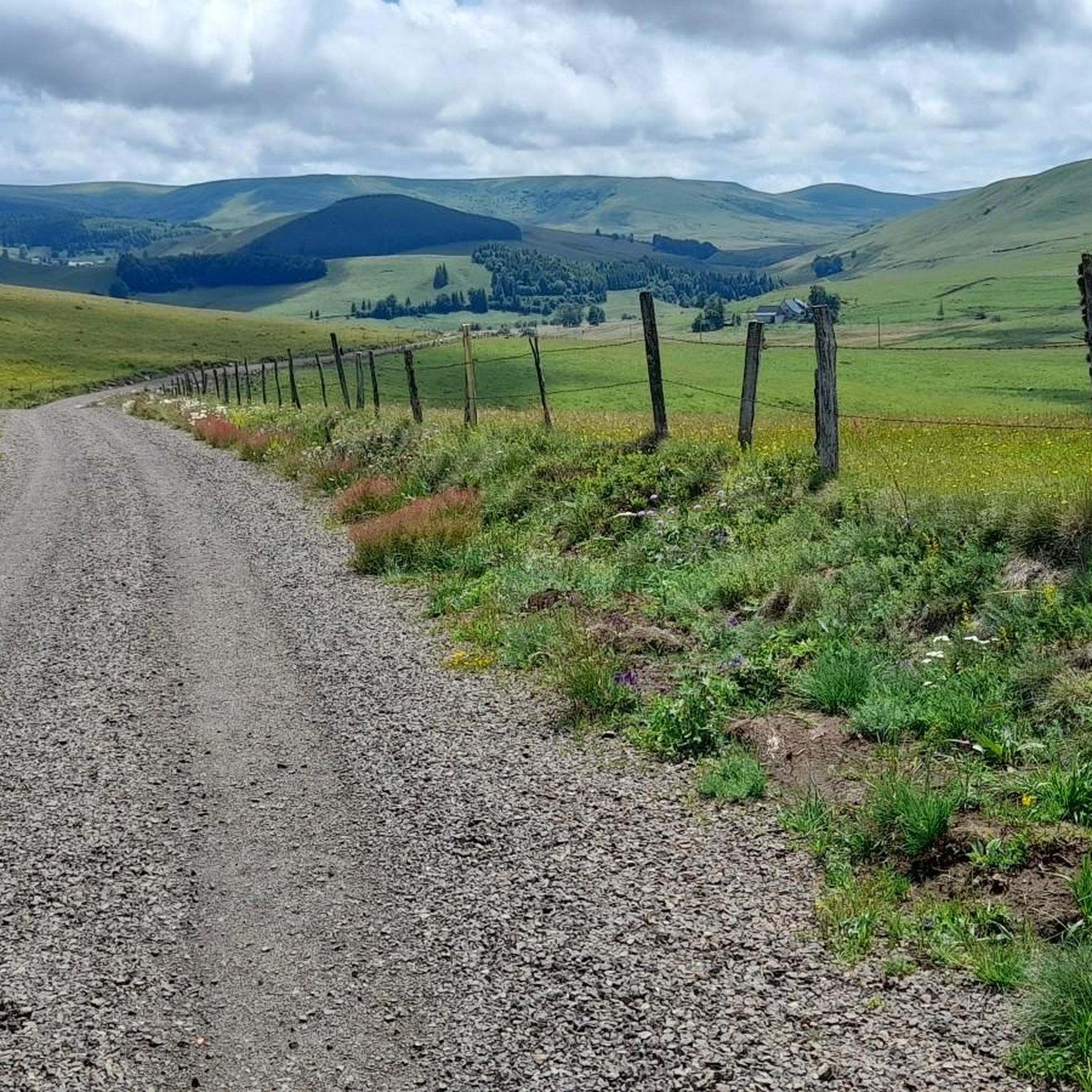
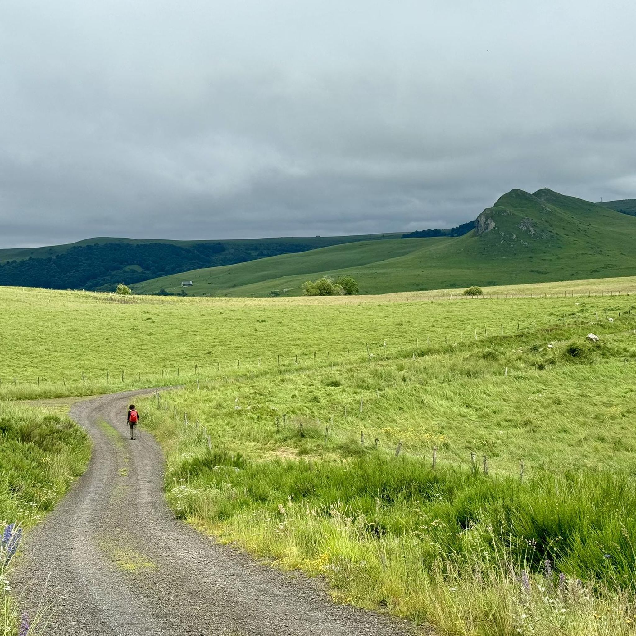
Touring cycling around Saint-Alyre-ès-Montagne offers routes through the Cézallier massif and the Natural Regional Park of the Volcanoes of Auvergne. The area features a blend of mountainous terrain, volcanic landscapes, and pastoral scenery. Cyclists encounter high summer pastures, volcanic lakes, and rounded slopes, with altitudes often exceeding 1,400 meters. The region provides varied tracks, country roads, and volcanic paths suitable for touring cycling.
Best touring cycling routes around Saint-Alyre-ès-Montagne
- The most popular touring cycling route is Lake Montcineyre – La…
Last updated: July 13, 2026
40
riders
98.5km
07:48
1,870m
1,870m
Hard bike ride. Very good fitness required. You may need to push your bike for some segments of this route.
5.0
(2)
16
riders
72.3km
05:02
1,140m
1,140m
Hard bike ride. Very good fitness required. Mostly paved surfaces. Suitable for all skill levels.

Sign up for free
4.6
(8)
36
riders
38.4km
02:34
580m
580m
Hard bike ride. Very good fitness required. Mostly paved surfaces. Suitable for all skill levels.
4.8
(4)
18
riders
75.3km
05:21
1,310m
1,320m
Hard bike ride. Very good fitness required. Mostly paved surfaces. Suitable for all skill levels.
4.8
(4)
11
riders
37.2km
02:43
660m
660m
Hard bike ride. Very good fitness required. Mostly paved surfaces. Suitable for all skill levels.
Get access to more routes and recommendations from other explorers.
Sign up for free
Already have an account?
Our route recommendations are based on thousands of hikes, rides, and runs completed by other people on komoot.
Start today with a free account
Your next adventure awaits.
Login or Signup
Popular around Saint-Alyre-Ès-Montagne

The Grande traversée du Massif Central by gravel bike
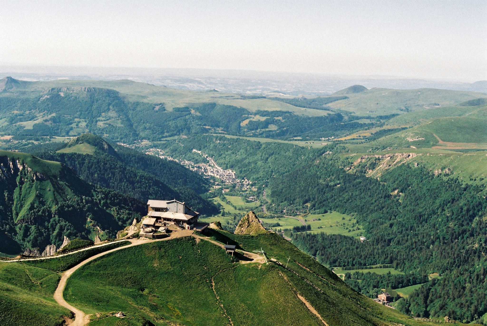
Crossing the volcanoes of Auvergne – Stromboliens, peléens and maars
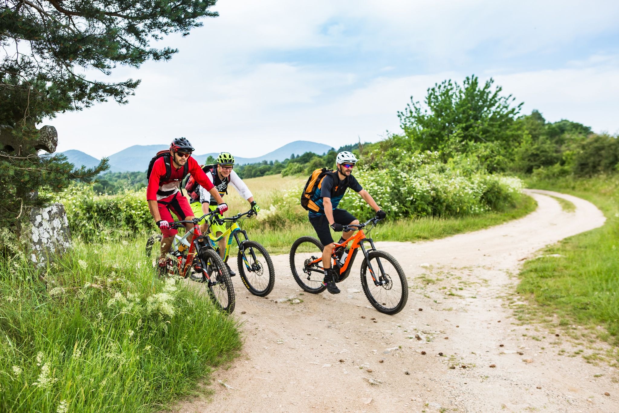
Conquering the trails – Auvergne by MTB
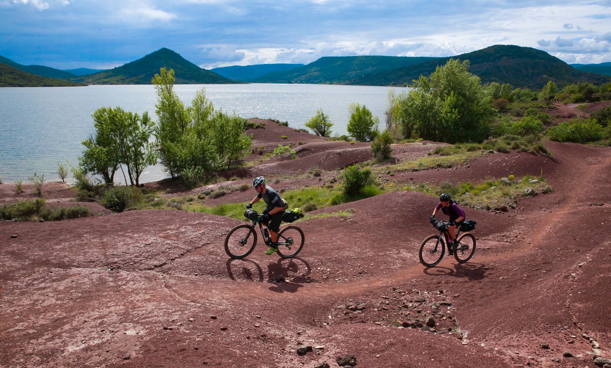
The Great Crossing of France's Massif Central by mountain bike
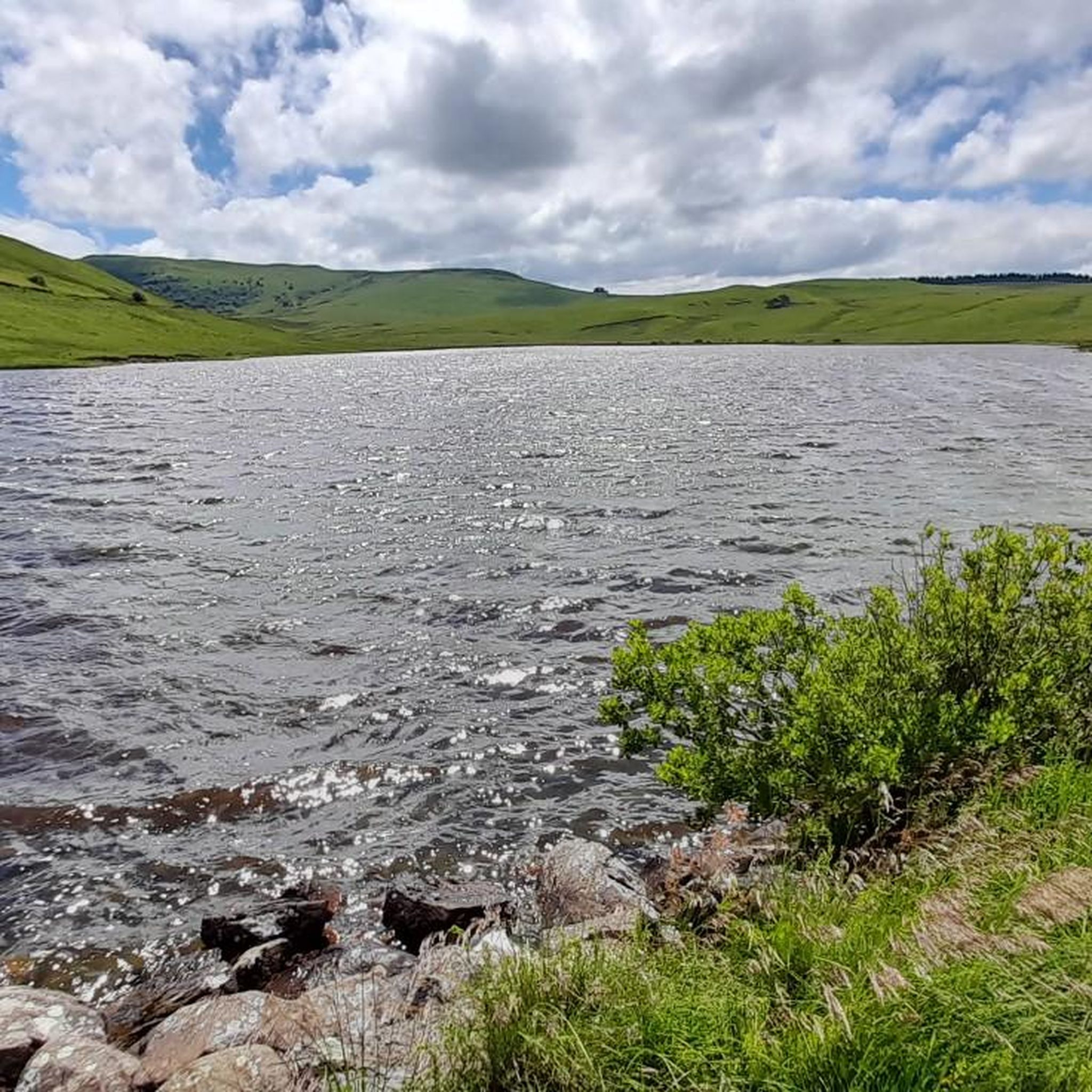
Road Cycling Routes around Saint-Alyre-Ès-Montagne
Hiking around Saint-Alyre-Ès-Montagne
MTB Trails around Saint-Alyre-Ès-Montagne
Running Trails around Saint-Alyre-Ès-Montagne
Gravel biking around Saint-Alyre-Ès-Montagne
Other adventures around Saint-Alyre-Ès-Montagne


Tips from the Community

An exceptional stretch of road, out of this world. Panoramic views of the Sancy and Cantal massifs, in the heart of the Cezallier massif, little used by cars that drive reasonably, and with no elevation changes.
0
0

very pretty pass typical of Cezallier
1
0

Not too difficult, I did it on a mountain bike.
0
0

Beautiful pass in a remote valley. Cows, horses and the occasional farm vehicle.
0
0


It's difficult to drive without stopping every 100m to immortalize the fabulous landscapes before us! In any case, take your time and keep your eyes wide open.
0
0
Frequently Asked Questions
How many touring cycling routes are available around Saint-Alyre-ès-Montagne?
There are over 45 touring cycling routes available around Saint-Alyre-ès-Montagne. These routes offer a diverse range of experiences through the Cézallier massif and the Natural Regional Park of the Volcanoes of Auvergne.
What kind of terrain can I expect on touring cycling routes in Saint-Alyre-ès-Montagne?
You can expect a varied terrain, including good tracks, country roads, and volcanic paths. The region is characterized by high summer pastures, volcanic landscapes, and the rounded slopes of the Cézallier massif, with altitudes often exceeding 1,400 meters.
Are there touring cycling routes suitable for beginners or families in Saint-Alyre-ès-Montagne?
While many routes are challenging, there are options for different ability levels. The Cézallier area features gentler, more rounded slopes, and there is at least one easy touring cycling route available. For example, the Col de Chamaroux – La Godivelle loop from Boutaresse, though rated difficult, offers a manageable distance for experienced riders looking for a less strenuous option compared to longer routes.
What natural features and landmarks can I see while touring cycling in Saint-Alyre-ès-Montagne?
The region is rich in natural beauty. You can encounter volcanic lakes like Lac de Bourdouze, Lac Pavin, and Montcineyre Lake. The area also features protected peat bogs, high summer pastures, and offers views of mountains such as Mont Chamaroux and the Signal du Luguet. You might also pass by the feudal mound of La Motte de Brion, which provides panoramic views.
Can I cycle past any volcanic lakes in Saint-Alyre-ès-Montagne?
Yes, several touring cycling routes will take you past volcanic lakes. The Lake Montcineyre – La Godivelle loop from Le Fraud, for instance, traverses volcanic landscapes and offers views of Lac Montcineyre and the unique ecosystem around La Godivelle, known for its two volcanic lakes and peat bogs.
Are there any waterfalls accessible by touring bike in the Saint-Alyre-ès-Montagne area?
Yes, the region features several beautiful waterfalls. The magnificent Saillant Waterfall, where the Bonjon stream flows over natural 'organs,' is a notable sight. Other waterfalls like Entraigues Waterfall and Bois de Chaux Waterfall are also in the vicinity and can be incorporated into your cycling plans.
What do other touring cyclists appreciate most about the routes in Saint-Alyre-ès-Montagne?
The touring cycling routes in Saint-Alyre-ès-Montagne are highly rated by the komoot community, with an average score of 4.6 stars from over 30 reviews. Cyclists often praise the stunning volcanic landscapes, the quiet country roads, and the diverse terrain that makes for an engaging experience.
What is the best time of year for touring cycling in Saint-Alyre-ès-Montagne?
The region is best enjoyed during the warmer months, typically from late spring to early autumn, when the high summer pastures are vibrant and the weather is most favorable for cycling. While Lac de Bourdouze offers picturesque views year-round, including freezing in winter, the extensive network of routes is most accessible outside of the colder, potentially snowy periods.
Are there any circular touring cycling routes in the area?
Yes, many of the touring cycling routes around Saint-Alyre-ès-Montagne are designed as loops. Examples include the Col de Vestizoux – La Godivelle loop from Parrot and the Ascent to Col de Chamaroux – La Godivelle loop from Cascade du Saillant, allowing you to start and finish at the same point.
Can I find accommodation suitable for cyclists in Saint-Alyre-ès-Montagne?
Saint-Alyre-ès-Montagne and the surrounding villages, such as La Godivelle, offer various accommodation options. As the region is part of the Grande Traversée du Massif Central (GTMC) cycling route, you can find gîtes, chambres d'hôtes, and other cyclist-friendly lodgings. It's advisable to check local listings for specific amenities like secure bike storage.
Are there any specific long-distance cycling routes that pass through Saint-Alyre-ès-Montagne?
Yes, Saint-Alyre-ès-Montagne is notably situated on the Grande Traversée du Massif Central (GTMC), a renowned mountain biking route. One stage of this route spans over 40 km from Murol to Saint-Alyre-ès-Montagne, offering magnificent views of volcanic lakes and high summer pastures. Another stage continues from Saint-Alyre-ès-Montagne towards Chalinargues, involving a climb to the Col du Mont Chamaroux pass. You can find more details on these stages via Murol to Saint-Alyre-ès-Montagne and Saint-Alyre-ès-Montagne to Chalinargues.
What are the most challenging touring cycling routes in the area?
Many routes in Saint-Alyre-ès-Montagne are rated as difficult due to significant elevation gains. For example, the Chamaroux Pass – Allanche loop from Cascade du Saillant involves substantial climbing, as does the Col de Vestizoux – La Godivelle loop from Parrot, which includes over 1,100 meters of elevation gain through the Cézallier massif.
Most popular routes around Saint-Alyre-Ès-Montagne
Most popular attractions around Saint-Alyre-Ès-Montagne

Get inspired with the komoot mobile app


Explore more
Browse the best Cycling routes in other regions.
