The best walks and hikes around Moudeyres
4.6
(539)
4,440
hikers
139
hikes
Hiking around Moudeyres offers diverse terrain shaped by its volcanic origins, featuring prominent peaks, expansive plateaus, and picturesque valleys. The region is characterized by high plateaus, often covered in meadows, and volcanic lakes. Hikers can explore areas around Mont Mézenc, which provides panoramic views, and discover waterfalls and traditional landscapes. This varied geography makes Moudeyres a destination for outdoor activities.
Best hiking trails around Moudeyres
- The most popular hiking route is Lake of Saint-Front - loop starting from Saint-Front,…
Last updated: June 29, 2026
5.0
(3)
27
hikers
17.1km
04:47
330m
330m
Moderate hike. Good fitness required. Mostly accessible paths. Sure-footedness required.
4.8
(39)
255
hikers
Hard hike. Very good fitness required. Mostly accessible paths. Sure-footedness required.

Sign up for free
4.6
(20)
105
hikers
Moderate hike. Good fitness required. Mostly accessible paths. Sure-footedness required.
4.5
(6)
39
hikers
Easy hike. Great for any fitness level. Easily-accessible paths. Suitable for all skill levels.
4.3
(3)
39
hikers
10.7km
03:06
270m
270m
Moderate hike. Good fitness required. Mostly accessible paths. Sure-footedness required.
Get access to more routes and recommendations from other explorers.
Sign up for free
Already have an account?
Our route recommendations are based on thousands of hikes, rides, and runs completed by other people on komoot.
Start today with a free account
Your next adventure awaits.
Login or Signup

Tips from the Community

Nice walk with a beautiful waterfall at the end. However, the path is not maintained and slippery, which is quite difficult with young children.
0
0

Lots of hikers. Be polite and share the trail. The descent with the small steps is a treat.
0
0

pretty flowers, pretty trees, pretty views, but what more could you ask for...oh yes, a windbreaker, because the mistral makes his grandmother cold.
0
0
Who built this? Probably a grion who was passing by...
0
0
The cross is a bit ugly but it is not for it that we come to frolic in these green lands but rather for this landscape that would make a Caribou pale.
0
0
landscape that would make a caribou pale
0
0

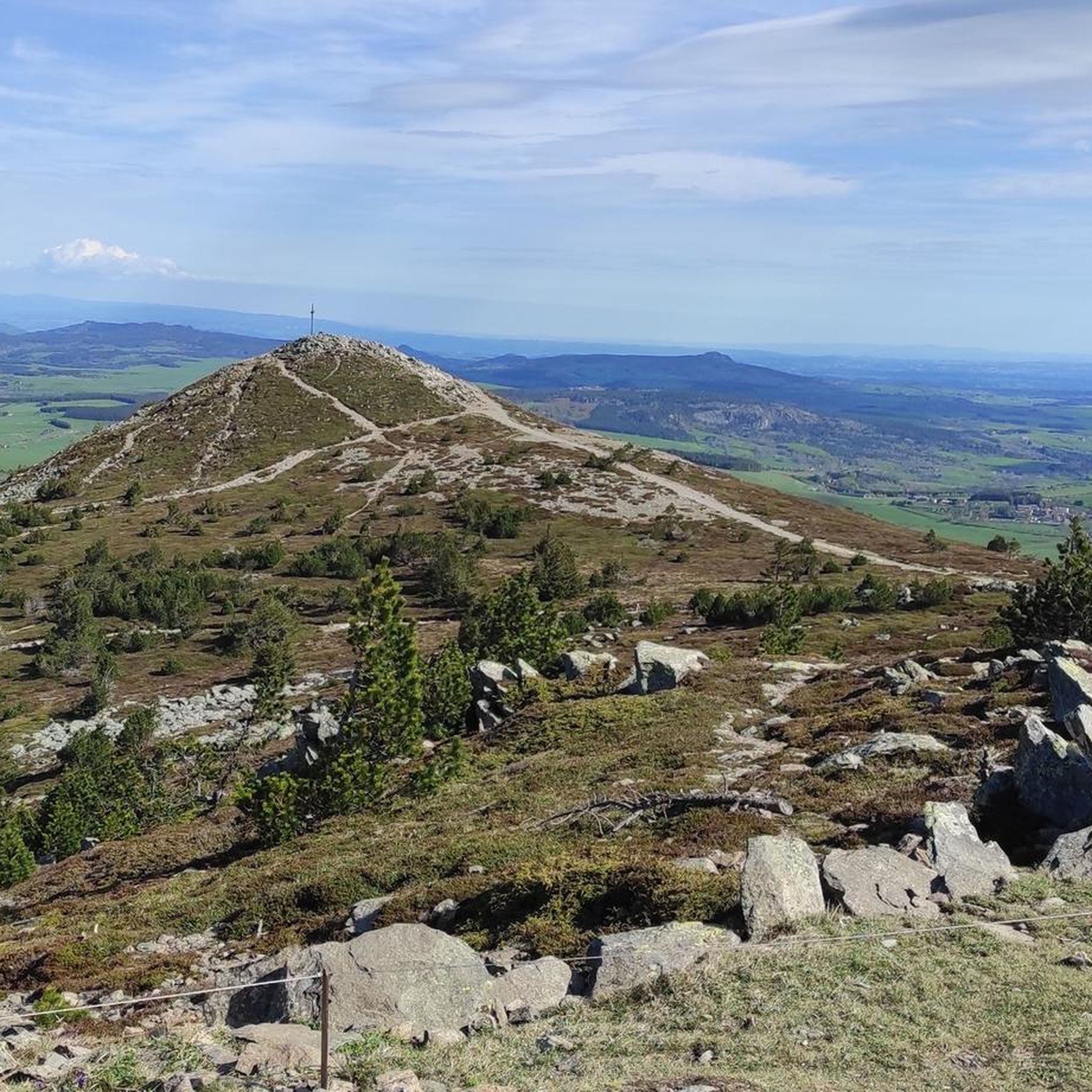
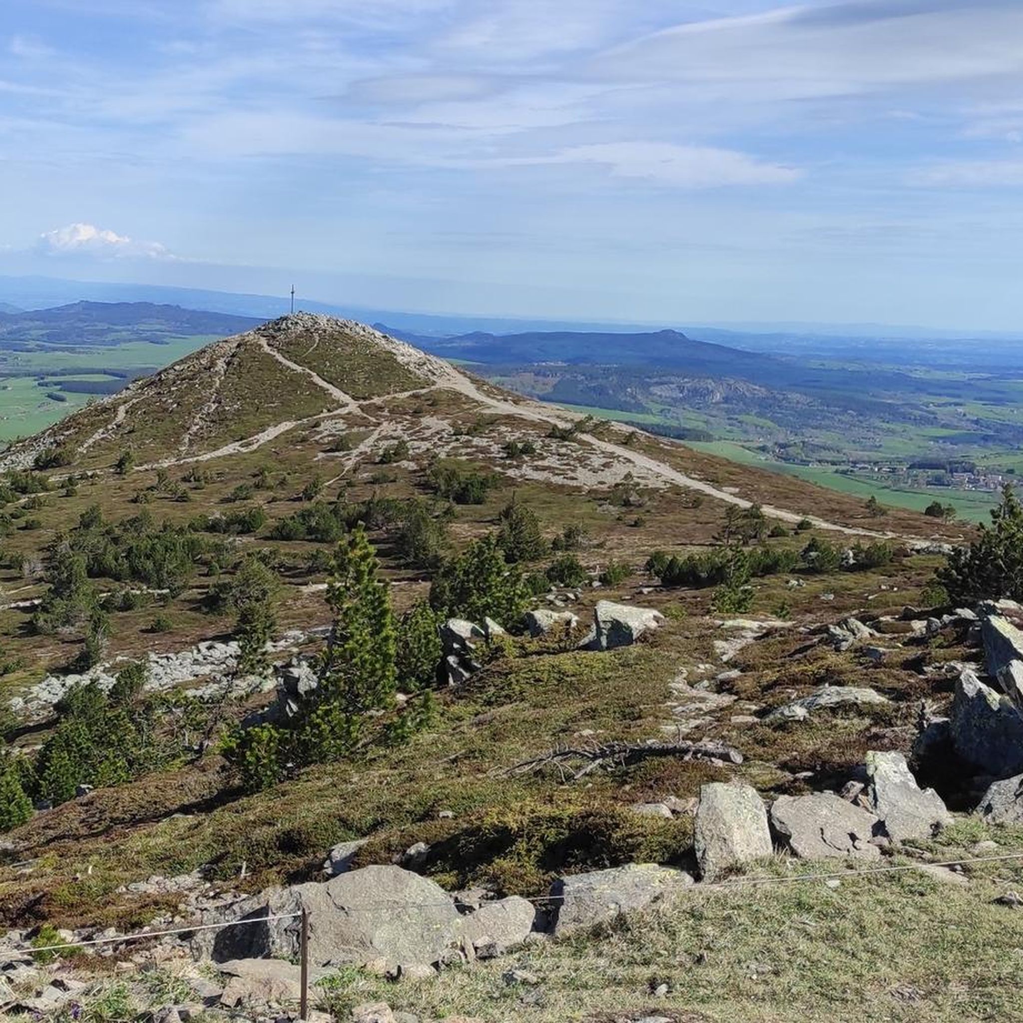
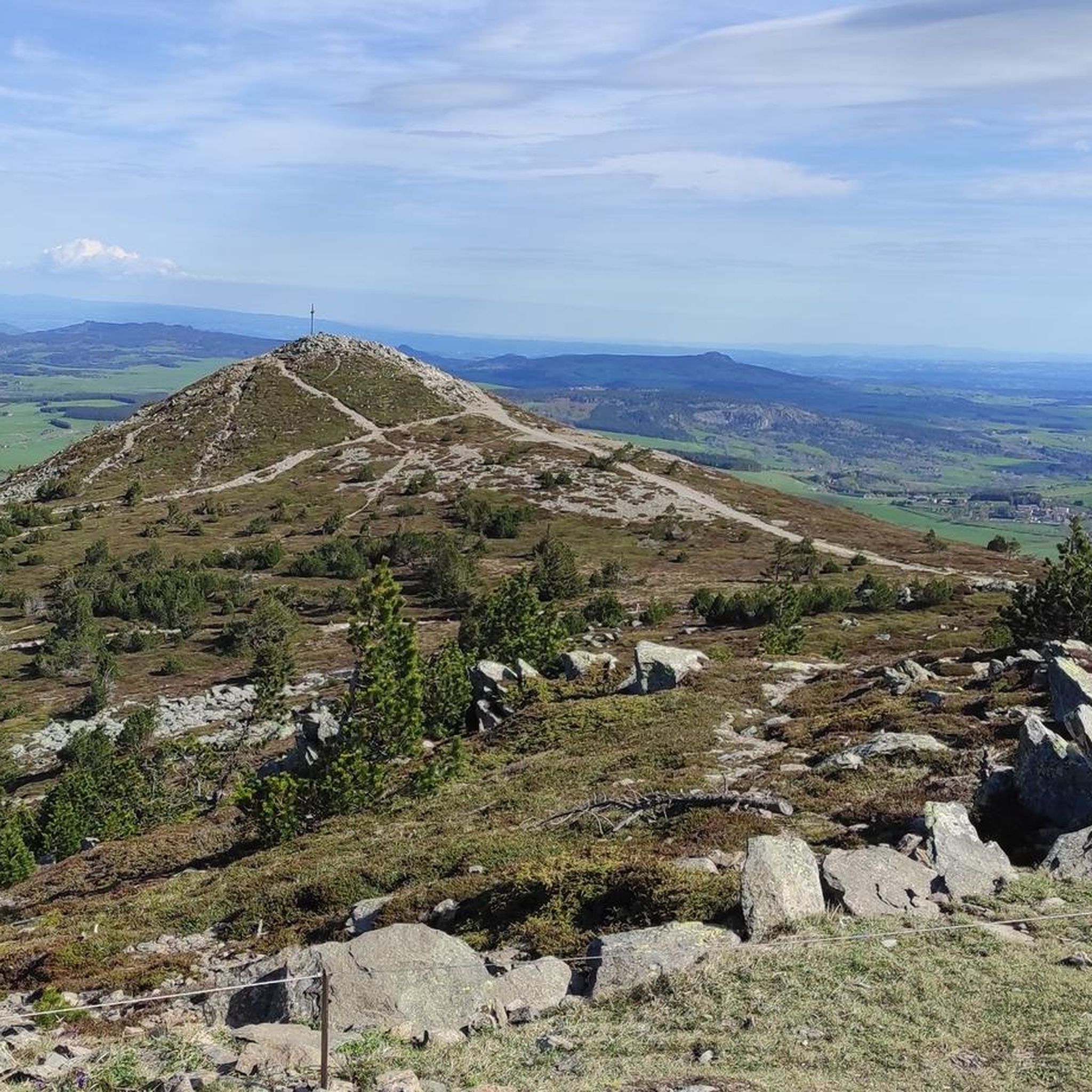
superb hike with a 360 view at the top of Mézenc
0
0

A pass at an altitude of over 1500 m. It is the highest in Ardèche.
0
0
Frequently Asked Questions
How many hiking trails are available around Moudeyres?
There are over 140 hiking routes around Moudeyres, offering a wide range of options for different preferences and fitness levels. These include easy walks, moderate excursions, and more challenging ascents.
What is the best time of year to go hiking in Moudeyres?
The region around Moudeyres is excellent for hiking from spring through autumn. Summer offers lush landscapes and warmer weather, while spring and autumn provide pleasant temperatures and beautiful seasonal colors. Winter hiking is also possible, especially for activities like snowshoeing, but conditions can be challenging, particularly at higher elevations like Mont Mézenc.
What are the general difficulty levels of hikes in Moudeyres?
Moudeyres offers a diverse range of hiking difficulties. You'll find approximately 33 easy routes, 92 moderate routes, and 19 difficult trails. This variety ensures there's something for everyone, from leisurely strolls to demanding mountain ascents.
Are there any hikes that feature waterfalls near Moudeyres?
Yes, the region boasts several beautiful waterfalls. You can explore the Cascade de la Beaume loop, an easy 2.0 km trail that leads to a notable waterfall. The Aubépin Valley also offers views of the Cascade de Souteyros, and the famous Cascade du Ray-Pic, known for its basalt columns, is about 23 km away.
Where can I find the best panoramic views while hiking in Moudeyres?
For breathtaking panoramic views, consider trails that ascend Mont Mézenc. The South summit of Mont Mézenc – North summit of Mont Mézenc loop from Les Estables is a challenging route that offers expansive vistas. The Plateau du Fraisse also provides extensive 360° views of the Velay and Mézenc areas, and Mont Gerbier de Jonc, the source of the Loire River, offers magnificent panoramas.
What natural landmarks can I explore around Moudeyres?
The volcanic origins of Moudeyres have created a dramatic landscape rich in natural landmarks. You can visit the prominent South summit of Mont Mézenc, explore the volcanic Lac de Saint-Front, or discover mountain passes like Boutières Cross Pass and Col de la Croix Peccata, which often offer great viewpoints.
Are there any circular hiking routes in Moudeyres?
Yes, many routes around Moudeyres are designed as loops, allowing you to start and end at the same point. An example is the Lake of Saint-Front loop, a moderate 17.1 km trail. The GR 430, known as the Chemin de Saint-Régis, is also a significant 189 km loop trail that passes directly through Moudeyres.
Are the hiking trails around Moudeyres suitable for families?
Moudeyres offers several family-friendly options. Shorter, easier trails like the 2.5 km "La vallée de l'Aubépin" (PR 592) are ideal for families, offering tranquil walks and views of the Souteyros waterfall. The 7 km "Sentier Moudeyres" is another discovery trail with educational elements on local geology and traditional thatched roof construction, which can be engaging for children.
Are there dog-friendly hiking trails in Moudeyres?
Many trails in the Moudeyres region are suitable for hiking with dogs, provided they are kept under control, especially in areas with livestock or protected wildlife. It's always recommended to check local signage for specific regulations regarding dogs on trails, particularly in nature reserves or around sensitive natural sites.
What unique cultural features can I see in Moudeyres village?
Moudeyres village itself is a charming attraction, renowned for its traditional thatched-roof houses, which give it a timeless ambiance. You can visit Ferme Perrel to learn about the unique local heritage and the traditional techniques of constructing these roofs. The "Sentier Moudeyres" discovery trail also highlights these cultural elements.
What do other hikers enjoy the most about hiking in Moudeyres?
The komoot community highly rates the hiking experience in Moudeyres, with an average score of 4.6 stars from over 470 reviews. Hikers often praise the diverse terrain shaped by volcanic origins, the expansive plateaus, and the picturesque valleys. The well-developed trail network and the breathtaking panoramic views from peaks like Mont Mézenc are frequently highlighted as favorite aspects.
Are there any challenging hikes for experienced hikers?
Yes, experienced hikers will find rewarding challenges in Moudeyres. Beyond the demanding South summit of Mont Mézenc – North summit of Mont Mézenc loop, trails like the ascent of Rocher d'Aiglet (1417m) via Lac de Saint Front and the loop ascending Rocher Tourte (1535m) and Suc de Rechausseyre (1450m) offer significant elevation gain and traverse vast high-altitude pastures.
Is public transport available to reach Moudeyres for hiking?
While Moudeyres is a rural village, public transport options to reach the area are limited. It is generally recommended to travel by car for maximum flexibility when planning hikes, as many trailheads may not be directly accessible by bus. Check local transport schedules for the Haute-Loire department for any specific routes that might serve nearby towns.
Are there parking facilities for hikers in Moudeyres?
Yes, Moudeyres typically offers designated parking areas for visitors and hikers within or on the outskirts of the village. These facilities are usually well-marked and provide convenient access to the various local trails that start from Moudeyres, such as the discovery trail and "respirando" marked routes.
Most popular attractions around Moudeyres

Get inspired with the komoot mobile app


Explore more
Browse the best Hikes in other regions.
