The 5 Most Amazing Peaks around Cadeilhan-Trachère
Best mountain peaks around Cadeilhan-Trachère are found in the Hautes-Pyrénées department of the Occitanie region. This commune serves as a gateway to a mountainous landscape with elevations ranging from 834 meters to 1924 meters. The area offers access to the Pyrenean environment, providing opportunities for hiking and exploring diverse terrain. It is situated near the Pyrenees National Park and the Néouvielle Nature Reserve.
Best mountain peaks around Cadeilhan-Trachère
- The most popular mountain peaks is Col de Val Louron-Azet, a…
Last updated: July 7, 2026
Col de Val Louron-Azet
Highlight • Mountain Pass
Translated by Google •
Tip by

Laquet de Coste Oueillère
Highlight • Lake
If sheep are regularly found around …
Translated by Google •
Tip by

Sign up now to discover places like this
Get recommendations on the best single tracks, peaks, & plenty of other exciting outdoor places.
Sign up for free
L'Oule Hut
Highlight • Summit
Translated by Google •
Tip by
Aumar Pass
Highlight • Mountain Pass
Translated by Google •
Tip by
View of Lac de Port Bielh from Hourquette de Caderolles
Highlight • Viewpoint
Translated by Google •
Tip by

Start today with a free account
Your next adventure awaits.
Login or Signup
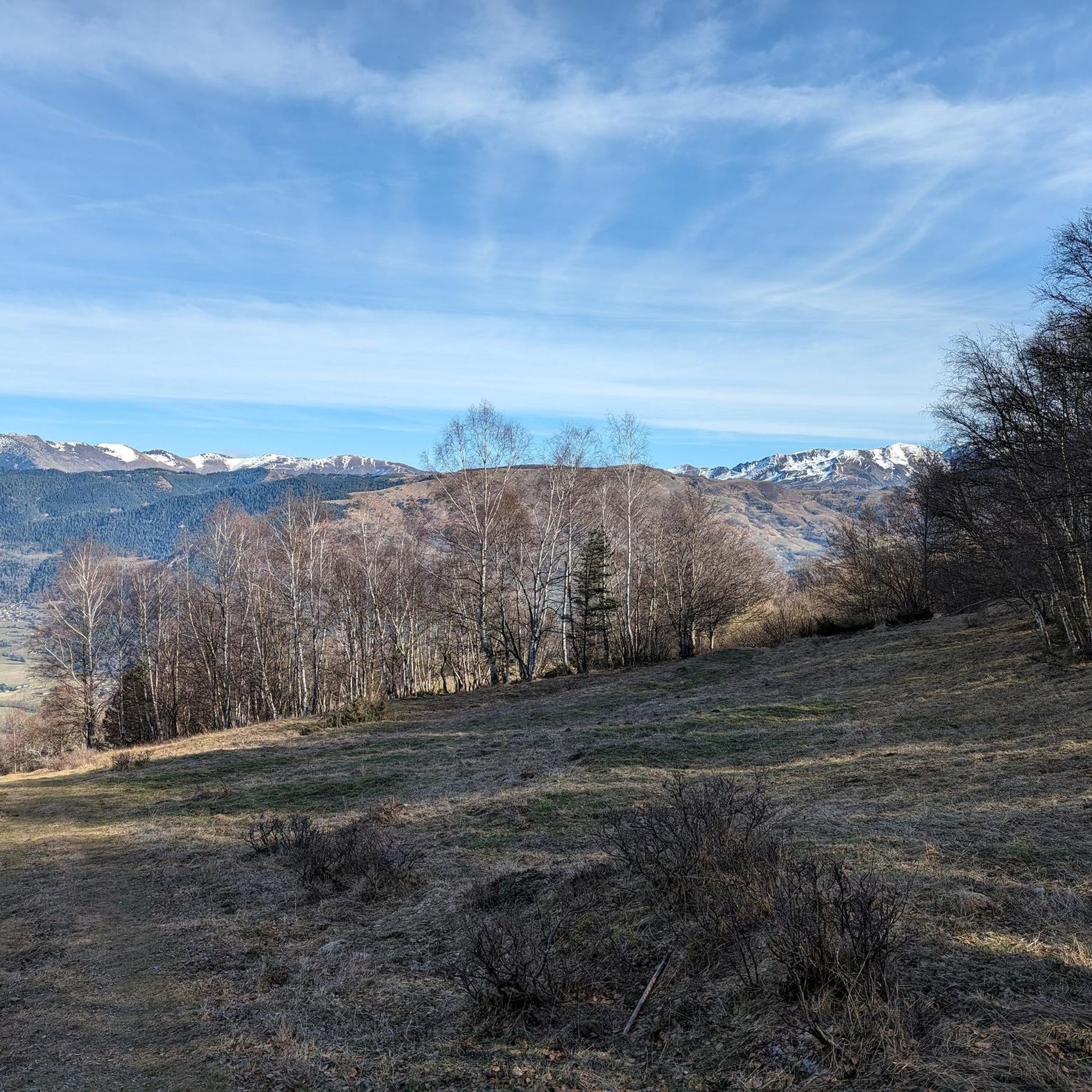

Tips from the Community

Passes reserved for cyclists 9-12 p.m. this Monday 07/15, happiness!
0
0

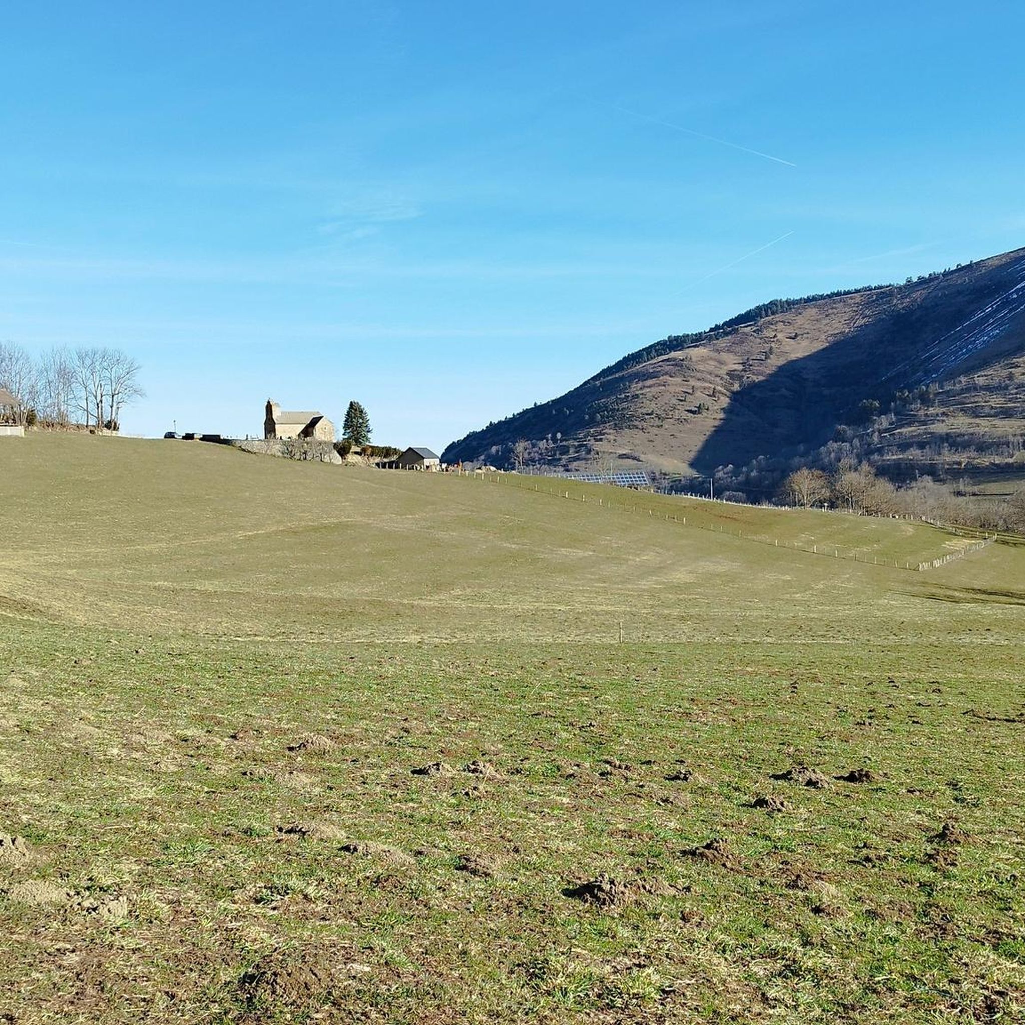
The Col d'Azet is a road mountain pass located at 1,585 meters above sea level. It allows you to go from the Aure valley to the Louron valley. It is one of the 34 passes connected by the famous pass road.
0
0

Located in the Louron valley, the Col d'Azet peaks at an altitude of 1,580 meters. This passage connects the village of Loudenvielle and that of Azet on the heights of Saint-Lary-Soulan. The ascent from Lake Génos is 7.5 kilometers for an average of 8.3% with some passages at 13%.
1
0
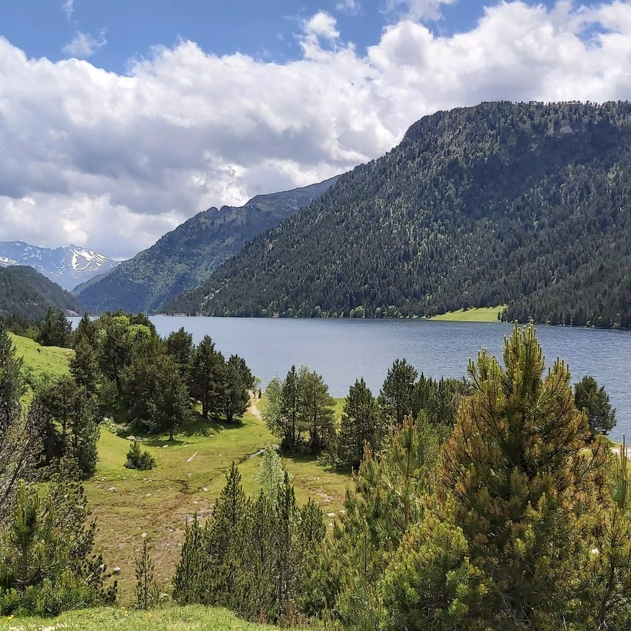
La Hourquette de Caderolles is located on a rocky outcrop at an altitude of 2,495 metres. At the top, beautiful panoramas overlook the lake of Port Bielh and the Néouvielle massif
0
0

Here at more than 2600m altitude, the view is impregnable, almost terrifying when the sky darkens but it is majestic.
0
0

It climbs, it turns, it's beautiful 🚴 ♂️⛰
1
0

Do not underestimate this climb from Saint Lary Soulan. The first 7 km are steep (8% -14%),last 3km is smoother. Beautiful views .
0
0

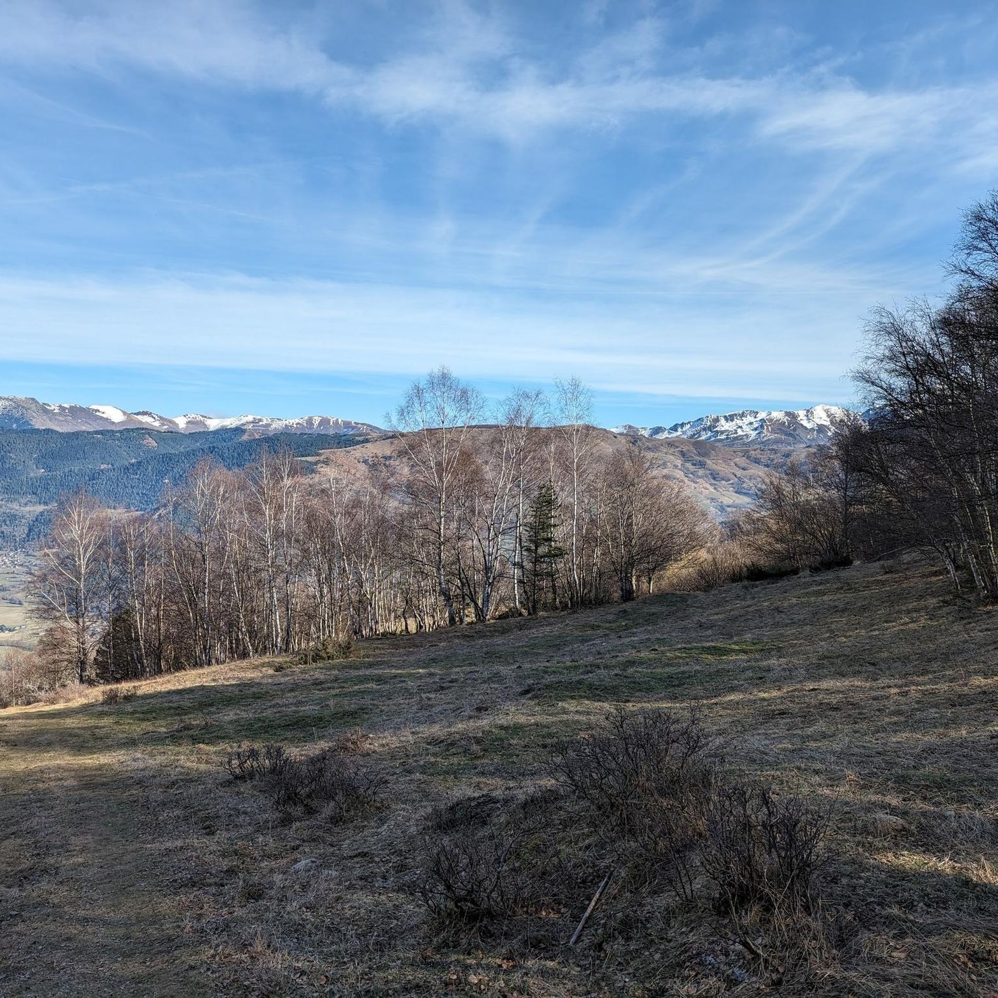
Col d'Azet is the 'linkpin' between the Porté to the West and the Peyresaude to the East - both are visible from this summit. Popular with the Tour de France (last visit 2021).
1
0
Frequently Asked Questions
What are some prominent mountain peaks or areas to explore near Cadeilhan-Trachère?
The region around Cadeilhan-Trachère offers diverse mountainous terrain. Notable areas include the Arbizon Massif, known for its rugged terrain and rewarding climbs. You can also explore the area around Sommet de Pouy Louby – Pic du Lion, which provides varied mountainous terrain and panoramic rewards. Additionally, the Crête de Coudet offers trails and scenic views.
What kind of natural features can I discover around Cadeilhan-Trachère's mountains?
The mountainous surroundings are characterized by varied terrain, including dense forests of pine, fir, and beech. You'll find numerous torrents, streams, and high-altitude lakes such as the lakes of Consaterre and l'Oule. The region borders the Pyrenees National Park and the Néouvielle Nature Reserve, offering access to protected and exceptionally beautiful natural environments.
What makes the Col de Val Louron-Azet a popular mountain pass?
The Col de Val Louron-Azet is a mountain pass located in the Louron valley at an altitude of 1,580 meters. It connects the village of Loudenvielle and Azet and is one of the 34 passes on the famous pass road, making it a significant spot for cyclists and those enjoying scenic drives. The ascent from Lake Génos is 7.5 kilometers with an average gradient of 8.3%.
What is special about Laquet de Coste Oueillère?
The Laquet de Coste Oueillère is a lake surrounded by other natural lakes, making it an ideal spot for mountain pastures. Visitors often find sheep around this lake, which is reflected in its Occitan name, where 'coste' means 'slope' and 'oueilhèro' means 'sheep or ewe'.
What hiking opportunities are available near Cadeilhan-Trachère?
The region offers diverse hiking opportunities, from moderate trails to challenging ascents. Trails often lead to picturesque lakes and provide chances to observe local flora and fauna. For specific running trails, you can explore options like the 'Bastan Refuge – Lac de l'Oule loop from Saint-Lary-Soulan' or the 'Vignec – Vielle-Aure loop from Cadeilhan-Trachère' found in the Running Trails around Cadeilhan-Trachère guide.
Are there challenging climbs for experienced hikers?
Yes, the region provides challenging ascents for experienced hikers. The Arbizon Massif, for instance, offers a challenging 10.3 km loop with an elevation gain of 1364 meters. The Aumar Pass, reaching 2,374 meters, is another hiking pass that opens into the wilder and less frequented heart of the Néouvielle reserve, offering a good climb.
Where can I find impressive views of Lac de Port Bielh?
For breathtaking views of Lac de Port Bielh, head to the View of Lac de Port Bielh from Hourquette de Caderolles. Located at an altitude of more than 2600 meters, this viewpoint offers majestic panoramas overlooking the lake and the Néouvielle massif.
Are there cycling routes around Cadeilhan-Trachère's mountain passes?
Yes, the area is popular for cycling, especially around its mountain passes. You can find routes like the 'Col d'Aspin – Hourquette d'Ancizan loop from Cadeilhan-Trachère' or the 'Vignec – Portet Pass loop from Cadeilhan-Trachère'. More options are available in the Cycling around Cadeilhan-Trachère guide.
What is the L'Oule Hut and what does it offer?
The L'Oule Hut is an unguarded and open hut. While rustic, with a clay floor and a weak fireplace, it serves as a useful shelter from rain and wind. Streams and woods are nearby, providing basic amenities for those exploring the area.
What is the best time to visit the mountains around Cadeilhan-Trachère?
The region offers diverse landscapes suitable for mountaineering. While specific seasonal conditions vary, the presence of high-altitude lakes and challenging climbs suggests that late spring to early autumn generally provides the most favorable weather for hiking and exploring the higher elevations.
Are there family-friendly mountain walks in the area?
The mountainous surroundings of Cadeilhan-Trachère offer diverse hiking opportunities, including options suitable for various skill levels. While specific 'family-friendly' categorizations are not detailed, the presence of picturesque lakes and varied terrain means there are likely trails that are less strenuous and enjoyable for families, especially in lower altitude areas or designated nature reserves.
What kind of terrain can I expect in the mountainous surroundings of Cadeilhan-Trachère?
The terrain is highly varied, ranging from dense forests of pine, fir, and beech in lower elevations to rugged, rocky landscapes at higher altitudes. You'll encounter numerous torrents, streams, and high-altitude lakes. The region provides direct access to diverse landscapes, bordering the Pyrenees National Park and the Néouvielle Nature Reserve.
Most popular routes around Cadeilhan-Trachère
Most popular attractions around Cadeilhan-Trachère

Get inspired with the komoot mobile app


Explore more
See even more amazing summits around Cadeilhan-Trachère with these guides:
