The best running trails around Sarrancolin
4.4
(55)
2,053
runners
14
runs
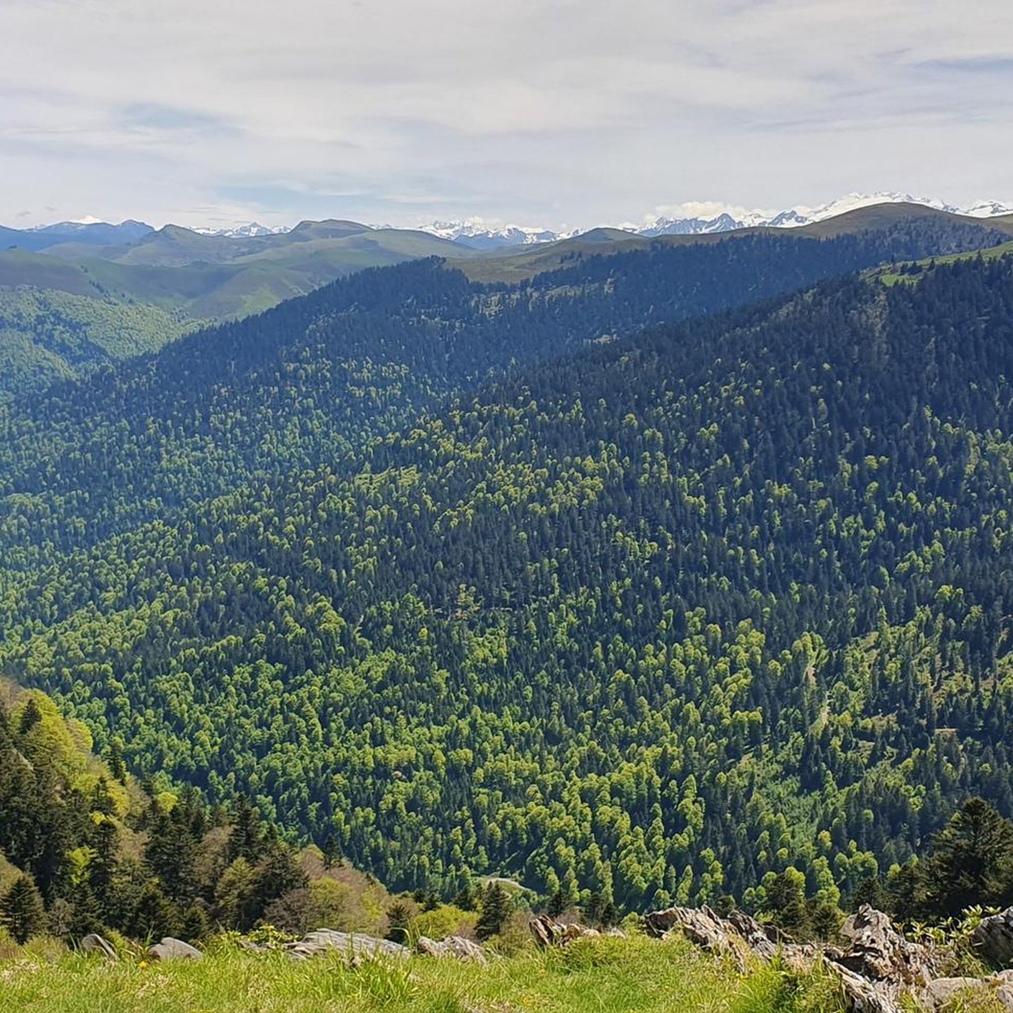
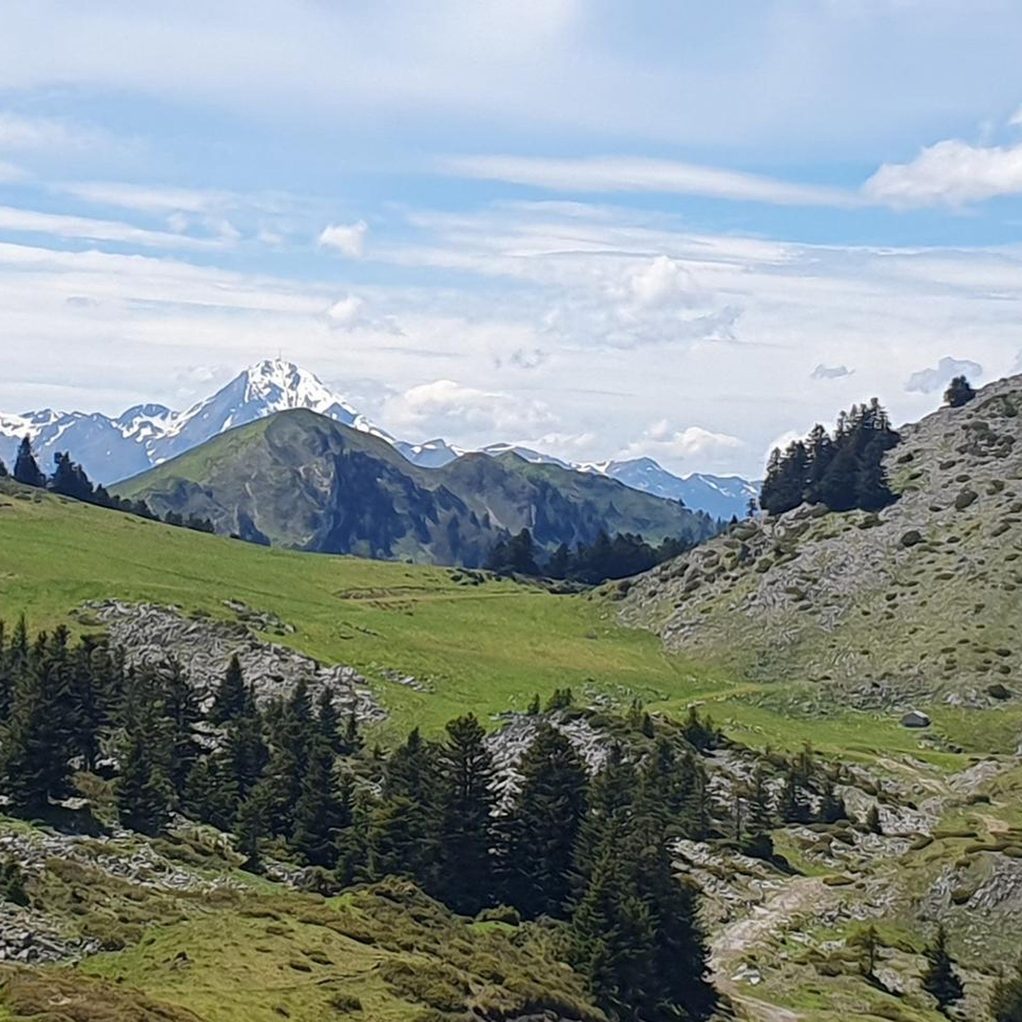
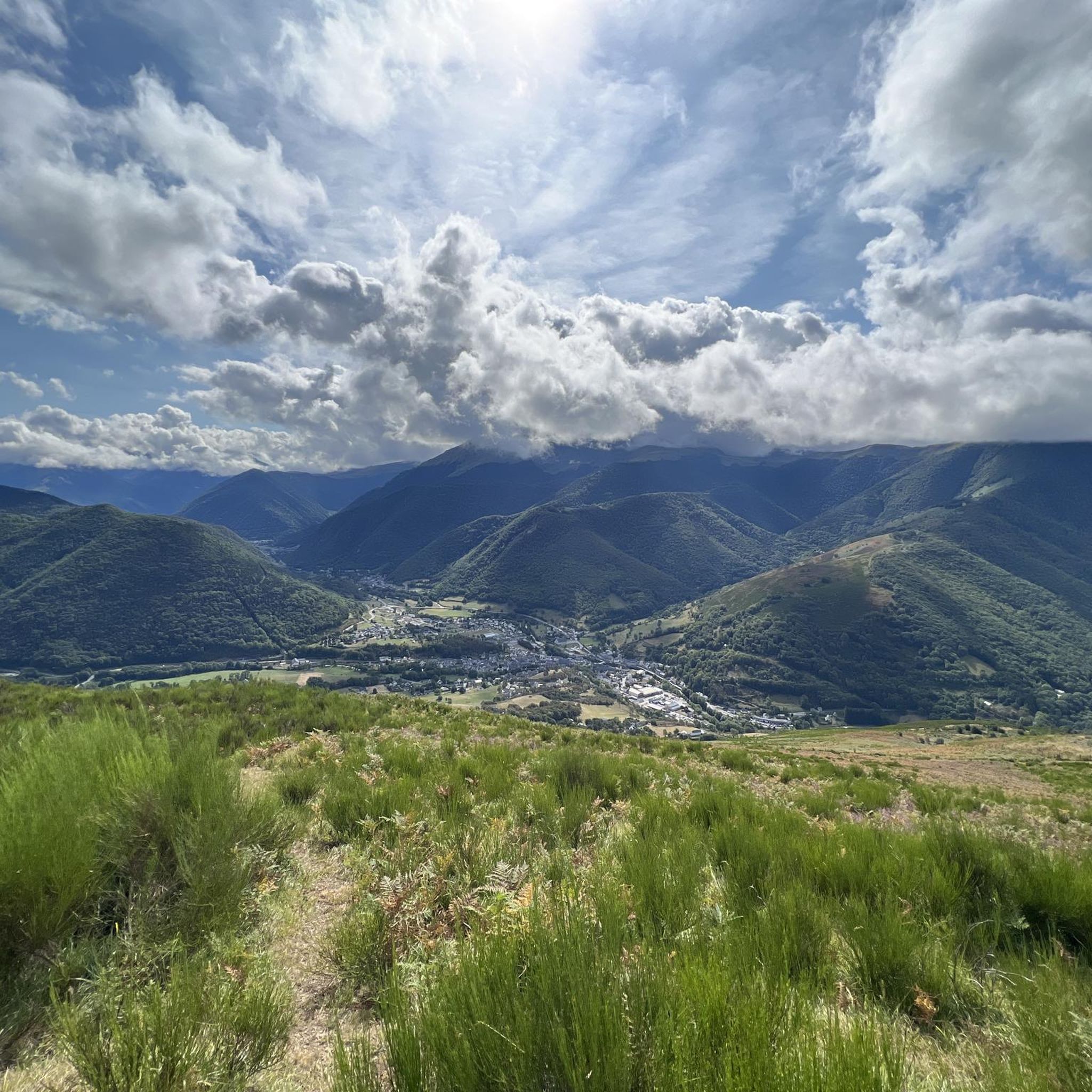
Jogging routes around Sarrancolin traverse a diverse landscape within the Aure Valley, characterized by mountainous terrain, dense forests, and river valleys. The region offers a variety of paths, from gentler runs to challenging routes with significant elevation gains. Joggers can experience varied terrain and elevation, providing options for different fitness levels.
Best jogging routes around Sarrancolin
- The most popular jogging route is Pic de Montaut loop from Sarrancolin, an 8.1 miles (13.0 km) trail that takes 2 hours 22…
Last updated: July 4, 2026
34
runners
13.7km
02:26
1,070m
1,070m
Hard run. Very good fitness required. Mostly paved surfaces. Suitable for all skill levels.
10
runners
9.78km
01:22
520m
520m
Hard run. Very good fitness required. Mostly paved surfaces. Suitable for all skill levels.

Sign up for free
7
runners
20.0km
03:26
1,360m
1,360m
Hard run. Very good fitness required. Sure-footedness, sturdy shoes and alpine experience required.
5.0
(1)
8
runners
19.8km
03:25
1,260m
1,260m
Hard run. Very good fitness required. Sure-footedness, sturdy shoes and alpine experience required.
7
runners
17.1km
02:27
780m
780m
Hard run. Very good fitness required. Sure-footedness, sturdy shoes and alpine experience required.
Get access to more routes and recommendations from other explorers.
Sign up for free
Already have an account?
Our route recommendations are based on thousands of hikes, rides, and runs completed by other people on komoot.
Start today with a free account
Your next adventure awaits.
Login or Signup
Tips from the Community

Pass with a beautiful view! If you go up the Hourc road, it's a steep climb at the end, but it's worth it!
0
0

Church and old railway line in Camous, unfortunately there is no railway line cycle path here.
2
0

The percentages on the Payolle side are very high, reaching 14 to 17% over more than 3km!
0
1

The Col de Beyrède peaks at 1,417 meters above sea level. Much less frequented than the Col d'Aspin, it offers incredible tranquility throughout the climb. I suggest you climb from the side that overlooks the Col d'Aspin. Indeed the road is sometimes in poor condition, which would make the descent more dangerous.
1
1

Magnificent point of view! Unavoidable !
1
0

Climb mainly in beautifull mountain forest. Tarmac is very bad with many holes, pits and sections withoud tarmac at all. Many parts with loose gravel on tarmac, which will make this a very dangerous descent. I experienced this climb as extremely challenging; many sections 10-15%. Climbed mid-August, saw not a single other cyclist.
2
0

Steep and fun ramps. But beware of the Aspin-side. The surface is very rough there, so descent carefully.
0
0

Beautiful neck, much less frequented than its neighbor Aspin. The rise on the west side is not in very good condition. A must visit
3
0
Frequently Asked Questions
How many running routes are available in Sarrancolin?
Sarrancolin offers a wide variety of running routes, with over 150 trails documented on komoot. These range from easy jogs to very challenging mountain runs, ensuring options for all fitness levels.
Are there any easy or family-friendly running routes in Sarrancolin?
Yes, for those seeking a gentler pace or a family-friendly outing, there are several easy running options. A great choice is the Running loop from Rebouc, which is suitable for all fitness levels and features mostly paved surfaces with manageable elevation changes. This route offers a pleasant experience through villages, forests, and meadows.
What are some of the more challenging running trails around Sarrancolin?
For experienced runners looking for a challenge, Sarrancolin's mountainous terrain provides numerous difficult routes. The Pic de Montaut loop from Sarrancolin is a demanding trail with significant elevation gain, offering panoramic views. Another challenging option is the Cap de Castillon – Signal de Bassia loop from Sarrancolin, which leads through alpine environments with expansive views of the Pyrenees.
Which running routes offer the best views or scenic landscapes?
Many routes in Sarrancolin boast stunning Pyrenean vistas. Trails that ascend to mountain passes like Col d'Aspin or Hourquette d'Ancizan, or those leading to summits such as Pic de Montaut, provide breathtaking panoramic views. The Col de Beyrède – Signal of Bassia loop from Sarrancolin, for instance, traverses mountainous terrain with rewarding scenery.
When is the best time of year to go running in Sarrancolin?
The best time for running in Sarrancolin is generally from spring through autumn. During these seasons, the weather is milder, and the trails are free of snow, allowing access to higher mountain paths. Spring brings vibrant wildflowers, while autumn offers beautiful foliage. Winter running is possible, especially on lower-altitude paths, but higher routes, particularly in areas like the Nordic area of Nistos, may be covered in snow.
Are there any circular running routes in the Sarrancolin area?
Yes, many of the running routes around Sarrancolin are designed as circular loops, allowing you to start and finish in the same location. This includes popular options like the Running loop from Sarrancolin, which provides a varied experience without needing to retrace your steps.
What do other runners enjoy most about jogging in Sarrancolin?
The running routes in Sarrancolin are highly rated by the komoot community, with an average score of 4.4 stars from over 40 reviews. Runners frequently praise the diverse landscapes, from challenging mountain ascents with incredible views to peaceful paths through forests and along river valleys. The variety of terrain and options for different fitness levels are also highly appreciated.
Can I bring my dog on the running trails in Sarrancolin?
Generally, dogs are welcome on most trails in the Sarrancolin area, provided they are kept under control, especially in areas with livestock or wildlife. It's always best to check local signage for any specific restrictions, and remember to carry water for your dog and clean up after them.
Are there any notable landmarks or natural features to see along the running routes?
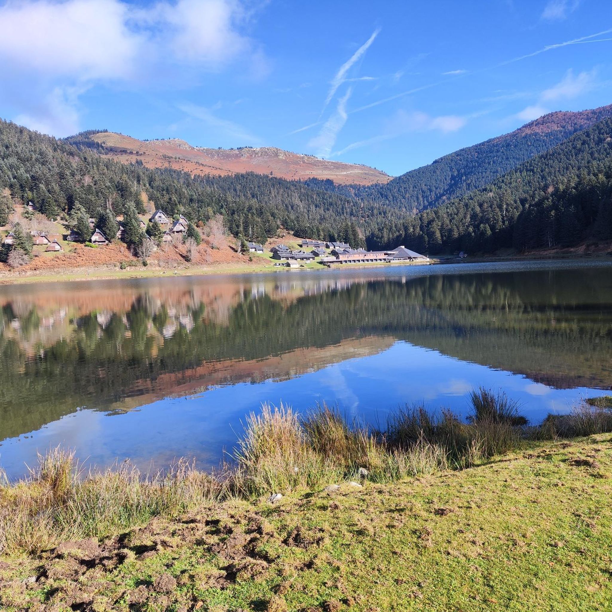
Absolutely! The region is rich in natural beauty. You might encounter majestic mountain passes like Col d'Aspin, or discover serene lakes such as Lac de Payolle and Lake Bareilles. The trails also often wind through beautiful forests and past traditional villages, offering a glimpse into the local Pyrenean charm.
Are there running routes suitable for beginners in Sarrancolin?
Yes, Sarrancolin offers several routes ideal for beginners or those looking for an easier run. These routes typically feature less elevation gain and more stable surfaces. The Running loop from Rebouc is an excellent example, providing a gentle introduction to running in the area through picturesque countryside.
Most popular routes around Sarrancolin
Most popular attractions around Sarrancolin

Get inspired with the komoot mobile app


Explore more
Browse the best Running Trails & Routes in other regions.
