The best running trails around Bouriège
4.5
(20)
586
runners
82
runs
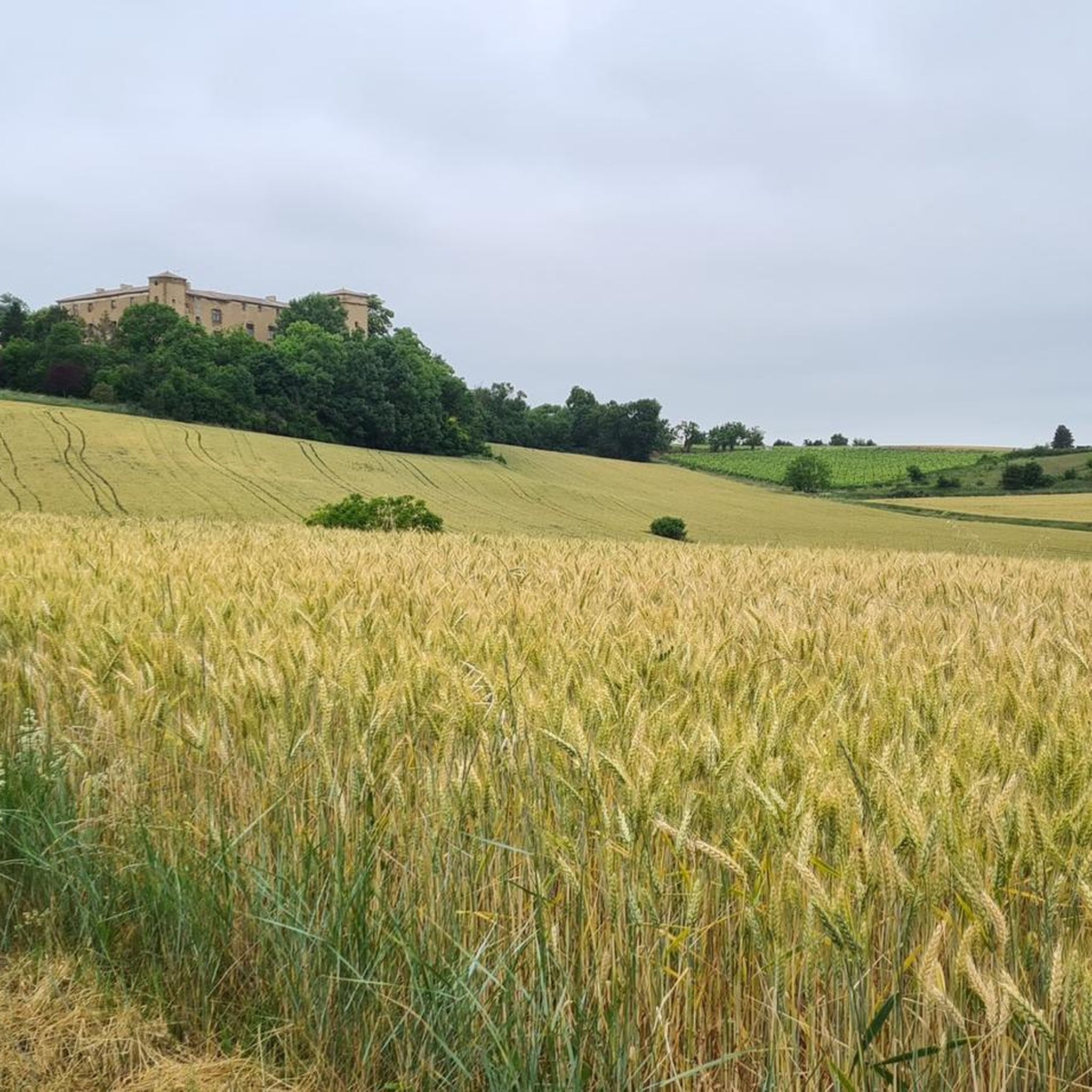
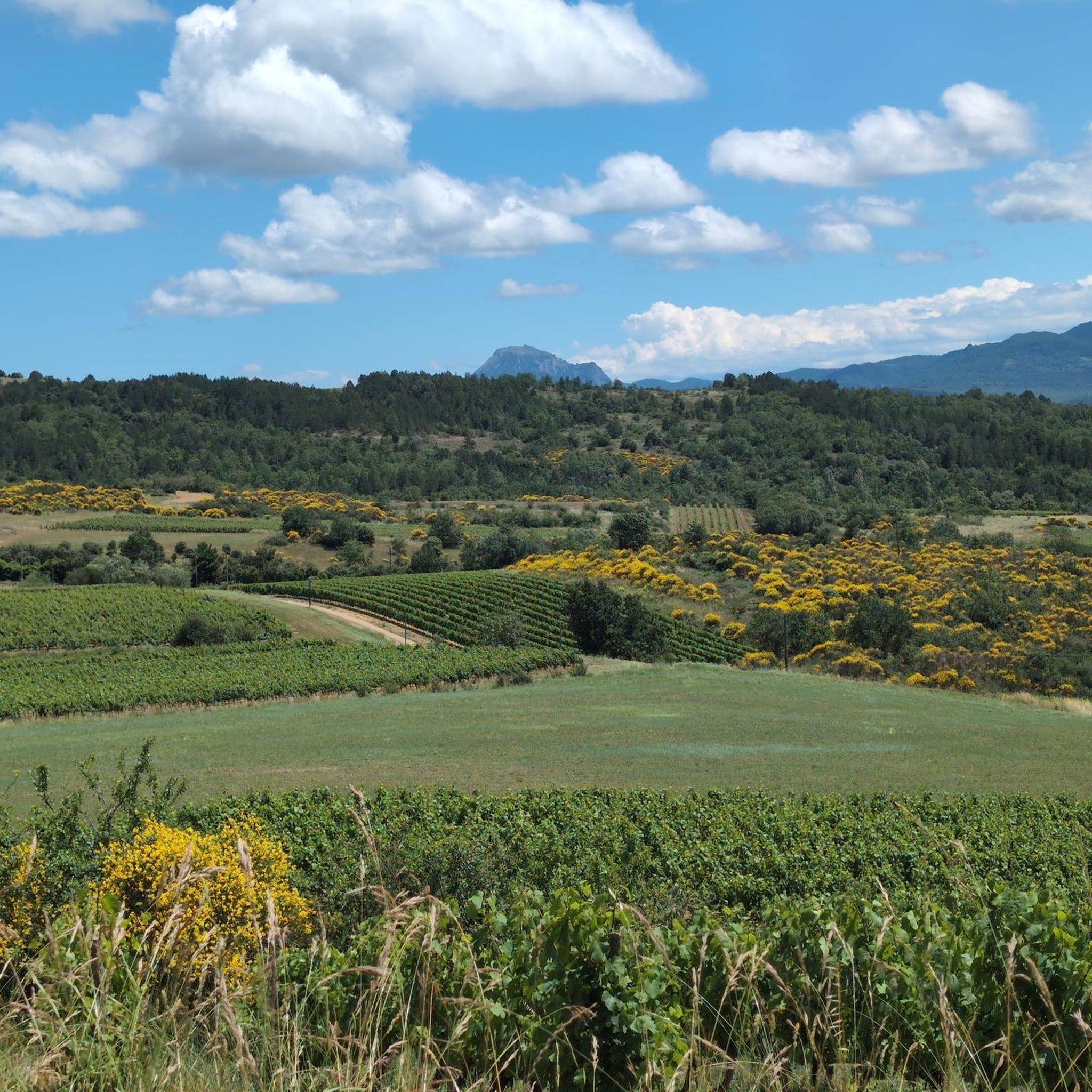
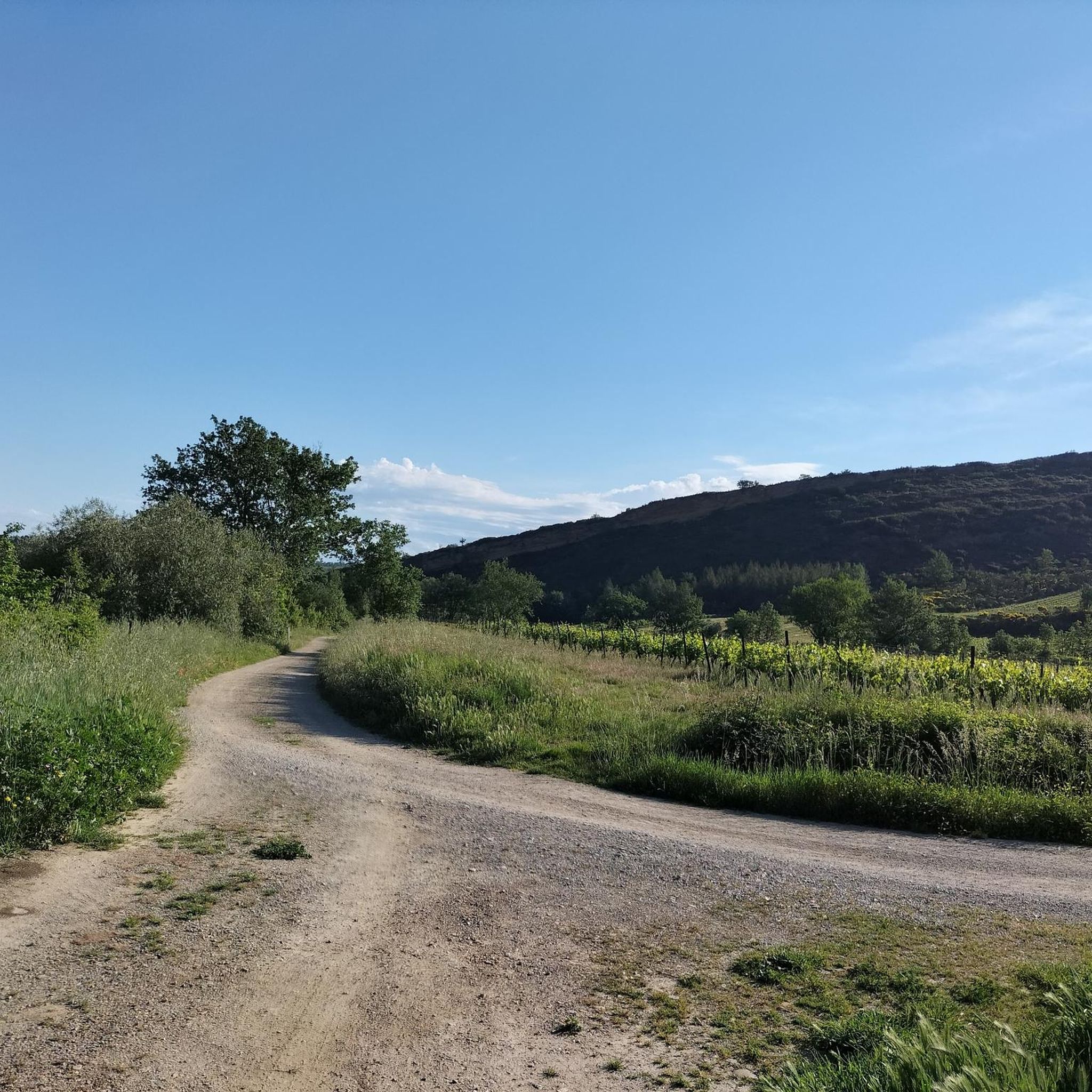
Jogging routes around Bouriège traverse a rural landscape in the Limouxin region, characterized by rolling hills and varied natural beauty. The area features picturesque countryside, with the Corneilla river adding to its natural appeal. Runners can experience diverse terrain, including paths that ascend to viewpoints, offering panoramic vistas across the Limouxin and towards the Pyrénées mountains. Historical sites, such as old castle remains and Romanesque churches, are integrated into the local environment.
Best jogging routes around Bouriège
- The most popular…
Last updated: July 4, 2026
4.0
(1)
16
runners
9.59km
01:24
470m
470m
Hard run. Very good fitness required. Mostly accessible paths. Some sure footedness required.
42
runners
5.54km
00:35
50m
60m
Moderate run. Good fitness required. Mostly paved surfaces. Suitable for all skill levels.

Sign up for free
25
runners
12.3km
01:38
410m
410m
Hard run. Very good fitness required. Mostly paved surfaces. Suitable for all skill levels.
3
runners
9.93km
01:28
470m
470m
Hard run. Very good fitness required. Mostly accessible paths. Some sure footedness required.
5.0
(1)
9
runners
13.2km
01:25
150m
150m
Moderate run. Good fitness required. Mostly paved surfaces. Suitable for all skill levels.
Get access to more routes and recommendations from other explorers.
Sign up for free
Already have an account?
Our route recommendations are based on thousands of hikes, rides, and runs completed by other people on komoot.
Start today with a free account
Your next adventure awaits.
Login or Signup

Tips from the Community


The Pic de Brau, with its 654m altitude and its orientation table, offers a nice viewpoint during a race on the foothills of the Corbières massif.
0
0
Frequently Asked Questions
How many running routes are available around Bouriège?
There are over 75 running routes in the Bouriège area, offering a wide variety of options for different preferences and fitness levels. The komoot community has explored these trails extensively, providing valuable insights.
What kind of terrain can I expect on jogging routes near Bouriège?
The terrain around Bouriège is quite varied, ranging from tranquil paths along the Corneilla river to invigorating ascents through rolling hills. You'll find a mix of rural countryside, forested sections, and elevated areas that provide diverse running experiences. The region's altitude, from 273 to 597 meters, ensures a good mix of flat and hilly sections.
Are there routes suitable for beginners or those looking for an easier run?
Yes, while many routes feature varied terrain, there is at least one easy jogging route available. Additionally, many of the 44 moderate routes can be enjoyed at a comfortable pace, offering scenic experiences without overly strenuous climbs. For example, the La Digne-d'Aval loop from La Digne-d'Amont is a moderate option with less elevation gain.
What natural features or landmarks can I see while running near Bouriège?
Jogging around Bouriège offers opportunities to discover unique natural and historical sites. You might encounter the fascinating Labyrinthe Vert, a rocky limestone labyrinth, or enjoy views from Brau Peak. The area also features historical remains like an old castle and a Romanesque church, adding a cultural dimension to your run.
Are there challenging running routes with significant elevation gain in the Bouriège area?
Absolutely. Bouriège's hilly landscape provides excellent opportunities for challenging runs. There are 32 difficult routes, many of which feature substantial elevation gain. A prime example is the Le Pic de Brau – loop trail from Magrie, which includes over 460 meters of ascent and offers panoramic views.
What do other runners say about the trails in Bouriège?
The running routes in Bouriège are highly regarded by the komoot community, with an average rating of 4.6 stars from over 11 reviews. Runners often praise the varied hilly terrain, the rural charm, and the opportunities for panoramic views across the Limouxin and towards the Pyrénées mountains.
Are there any circular running routes available?
Yes, many of the running routes around Bouriège are designed as loops, allowing you to start and finish at the same point. Examples include the challenging Le Pic de Brau – loop trail from Magrie and the scenic On the hills loop from La Digne-d'Aval.
Can I find running routes that offer panoramic views?
Yes, the varying altitude of Bouriège means many routes lead to elevated points offering stunning vistas. The area around Saint Sernin, for instance, provides an exceptional panorama of the Limouxin, Carcassonnais, and the Pyrenees mountains. Routes like Le Pic de Brau – loop trail from Magrie also feature significant viewpoints.
Are there any historical sites or points of interest along the running trails?
Yes, Bouriège is rich in history. Joggers can discover the remains of an old castle and a Romanesque church dedicated to Saint Saturnin within the village. Further afield, the archaeological site of the oppidum of Carla offers glimpses into the Bronze Age and Middle Ages. The nearby Rennes-le-Château Village and Church is also a fascinating historical site to explore.
What is the best time of year to go running in Bouriège?
The Aude department generally enjoys a Mediterranean climate, making spring and autumn ideal for running with milder temperatures. Summer can be warm, so early morning or late evening runs are recommended. Winter offers crisp air, but some higher elevation paths might be more challenging depending on conditions.
Are there any routes that pass by unique natural monuments?
Yes, the region boasts unique natural features. A notable one is the Labyrinthe Vert, a vast, rocky limestone labyrinth composed of oaks and boxwood, offering a truly immersive and fairy-like atmosphere for trail running.
Most popular attractions around Bouriège

Get inspired with the komoot mobile app


Explore more
Browse the best Running Trails & Routes in other regions.
