The best running trails around Gebenstorf
4.4
(290)
6,886
runners
14
runs
Jogging around Gebenstorf offers diverse terrain for runners, situated at the confluence of the Aare, Reuss, and Limmat rivers, providing extensive waterside paths. The region is characterized by abundant forests, covering 41.6% of its area, which offer shaded trails and varied inclines. Topography ranges from 330 meters at the river confluence to 561 meters at Chörnlisberg, allowing for both flat runs and more challenging uphill routes. Open agricultural land also provides expansive landscapes for running.
Best jogging routes around Gebenstorf
- The most popular jogging route is Wasserschloss Gebenstorf – Reuss Weir in Windisch loop from Gebenstorf, a 3.6 miles (5.8 km) trail that takes 39 minutes to complete. This route follows the river, offering flat and scenic paths.
- Another top favourite among local runners is Freudenau Castle Ruins – Forest trail along the Aare loop from Turgi, a moderate 7.1 miles (11.4 km) path. This route winds through forest trails and along the Aare river.
- Local runners also love the View of the Alps from Baldegg – Hornweg Trail loop from Gebenstorf, a 9.2 miles (14.8 km) trail leading through varied terrain with views, often completed in about 1 hour 38 minutes.
- Jogging around Gebenstorf is defined by riverside paths, abundant forests, and varied topography including hills and open agricultural land. The network of routes offers options for easy, moderate, and difficult running experiences.
- The routes in Gebenstorf are highly rated by the komoot community with an average score of 4.5 stars from over 220 reviews. More than 6000 runners have used komoot to explore Gebenstorf's varied terrain.
Last updated: September 30, 2026
67
runners
Moderate run. Good fitness required. Mostly paved surfaces. Suitable for all skill levels.
3.0
(1)
32
runners
Moderate run. Good fitness required. Mostly paved surfaces. Suitable for all skill levels.

4.0
(1)
21
runners
14.7km
01:38
260m
260m
Moderate run. Good fitness required. Mostly paved surfaces. Suitable for all skill levels.
12
runners
Moderate run. Good fitness required. Mostly paved surfaces. Suitable for all skill levels.
10
runners
14.3km
01:36
320m
320m
Hard run. Very good fitness required. Mostly paved surfaces. Suitable for all skill levels.
Get access to more routes and recommendations from other explorers.
Already have an account?
Our route recommendations are based on thousands of hikes, rides, and runs completed by other people on komoot.
Start today with a free account
Your next adventure awaits.

Tips from the Community

a beautiful place at any time of the year
0
0

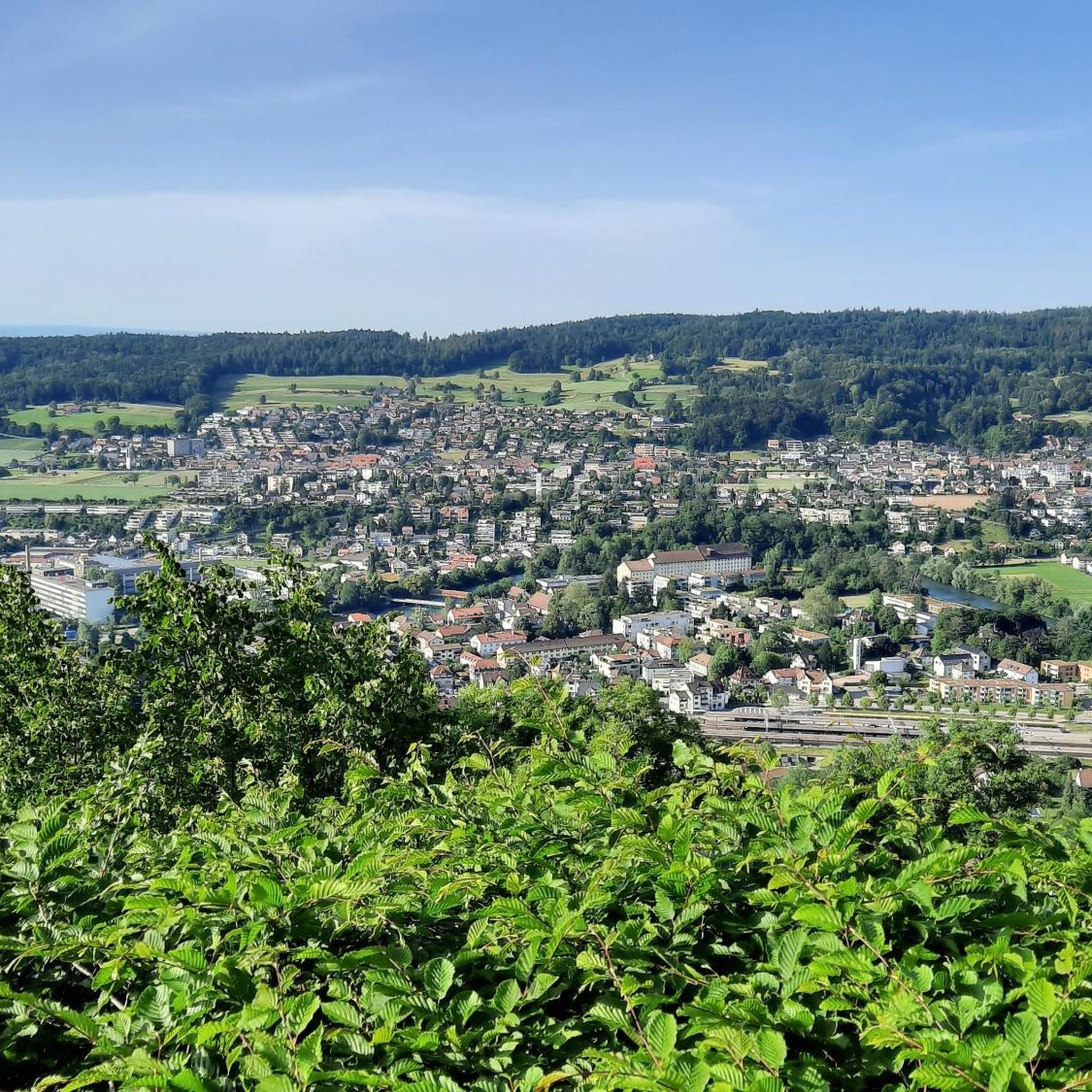
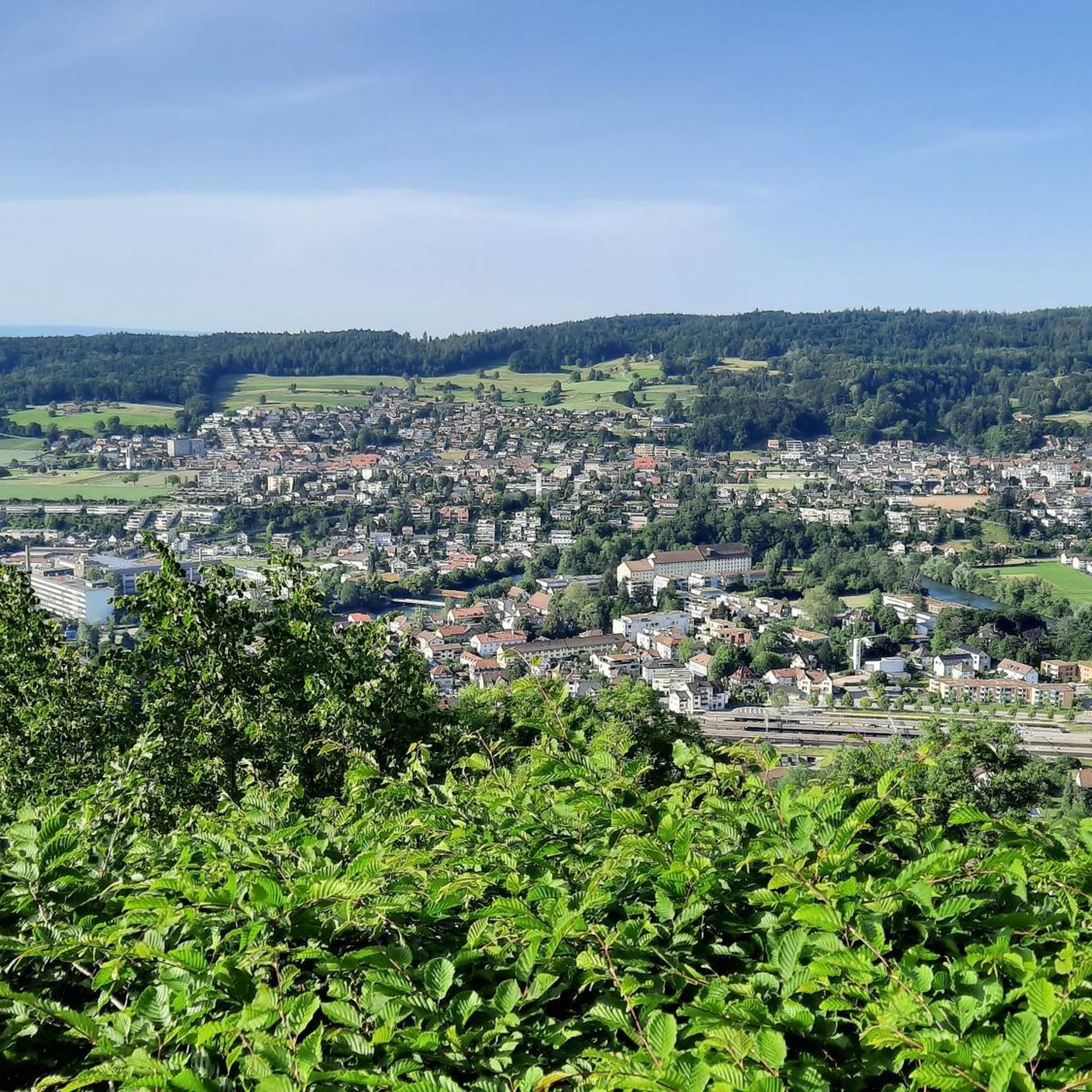
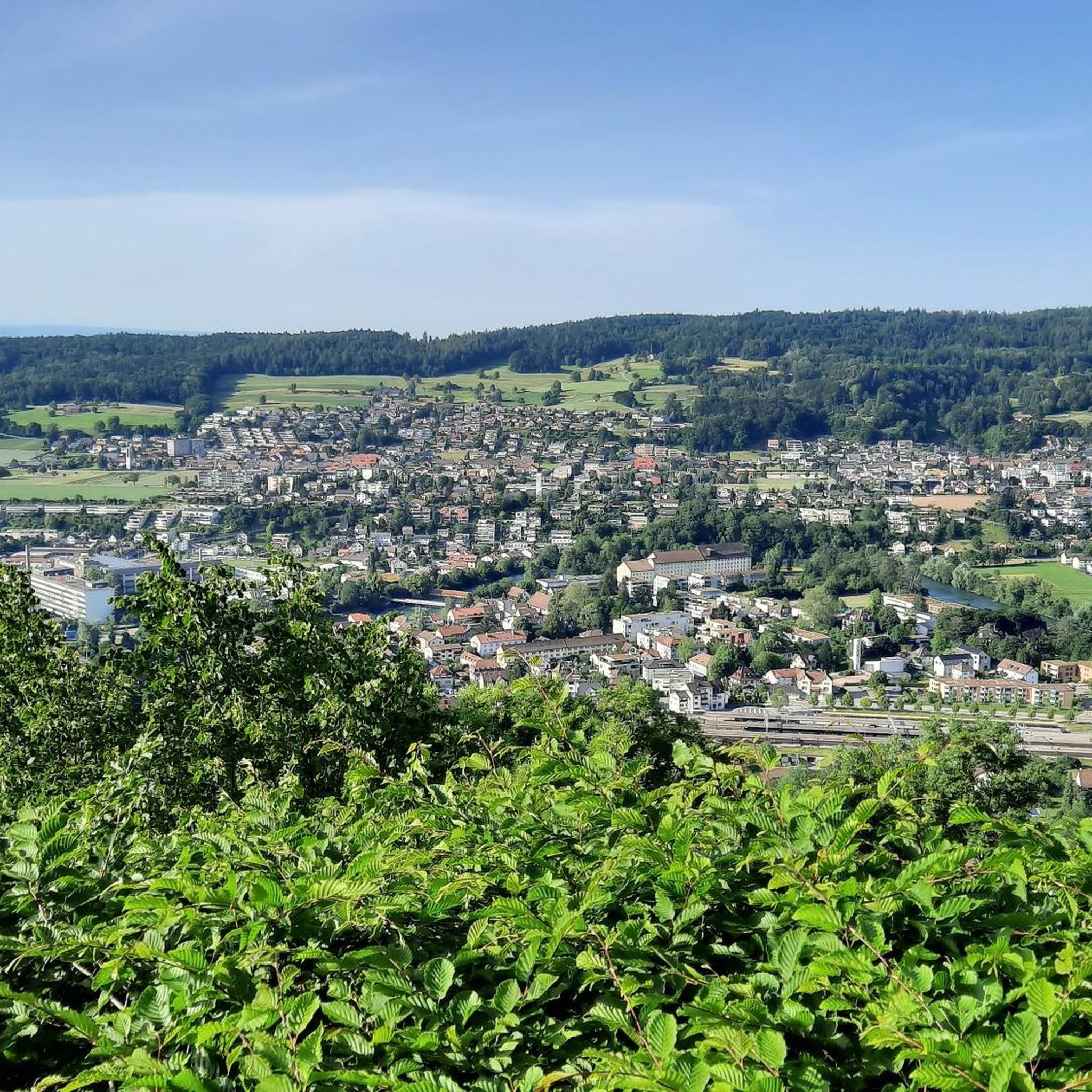
Plenty of benches and tables - great view!
0
0

The dam in Unterwindisch, near the former spinning mill, or today's Kunzareal, is very impressive. Especially when the Reuss River is carrying large volumes of water. Then, the U-shaped fall of the water masses is clearly visible and absolutely worth seeing. The place is a popular hotspot. I personally return again and again to enjoy the peace and nature.
3
0


The Reuss Weir near Windisch is a striking structure on the lower reaches of the Reuss River, just before its confluence with the Aare. It is part of the Windisch power plant, which was built around 1916 and harnesses the hydropower of the Reuss River. The weir regulates the water flow and is accessible via a concrete footbridge.
10
0
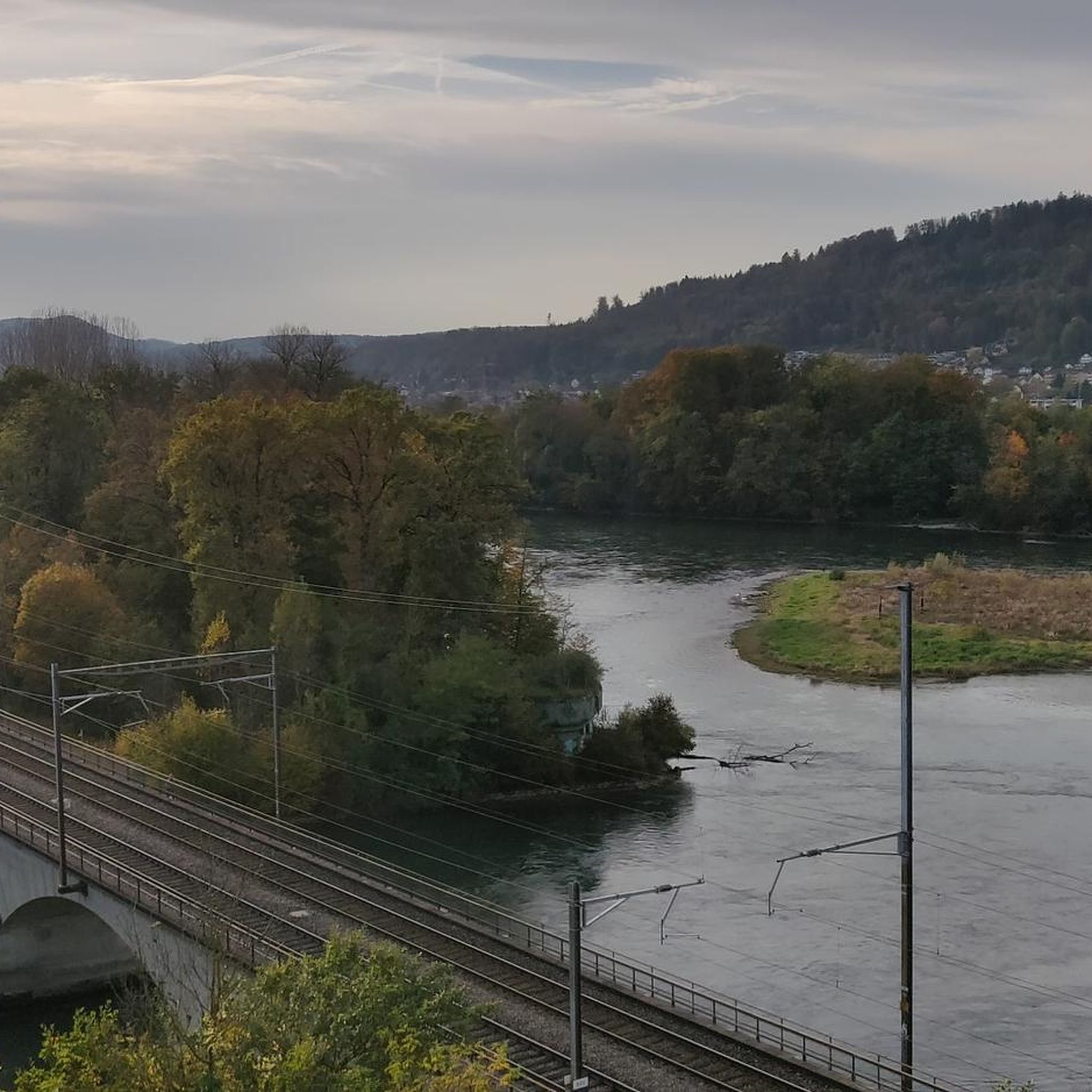
The confluence of the Reuss and Aare rivers is located in the so-called "water castle of Switzerland," a unique river landscape in the canton of Aargau. Here, the three major rivers, the Aare, Reuss, and, a little further downstream, the Limmat, meet—a hydrologically significant location where water from around 40% of Switzerland's land area converges.
6
0
The Freudenau Castle ruins are idyllically situated above the banks of the Aare River near Stilli and are a silent witness to medieval history. Built around 1240 by the Habsburgs, they once served to control the river crossing and as a transshipment point for goods. Today, the remains of the residential tower and the surrounding wall still survive. The ruins are freely accessible and easily accessible via hiking trails – a worthwhile detour for anyone seeking to combine nature and history.
9
0
A good, long-standing address for enjoying good food. Always happy to come back. Many paths and trails in the area.
0
0
Frequently Asked Questions
How many running routes are available in Gebenstorf?
Gebenstorf offers a good selection of routes for runners, with over 10 different jogging trails available. These routes cater to various fitness levels, including easy, moderate, and difficult options.
What kind of terrain can I expect on Gebenstorf's running trails?
You'll find a diverse range of terrain. Many routes follow the extensive riverside paths along the Aare, Reuss, and Limmat rivers, offering flat and scenic runs. The region also boasts abundant forests, covering over 40% of its area, providing shaded trails and varied inclines. For those seeking more challenge, the topography includes hills up to Chörnlisberg (561 m) and open agricultural land, allowing for both leisurely runs and more demanding uphill challenges.
Are there easy running routes suitable for beginners in Gebenstorf?
Yes, Gebenstorf has options for beginners. There is at least one easy running route available. For a moderate but relatively flat option, consider the Wasserschloss Gebenstorf – Reuss Weir in Windisch loop from Gebenstorf, which is 3.6 miles (5.8 km) and follows the river.
Can I find challenging trail runs in Gebenstorf?
Absolutely. Gebenstorf's varied topography, including the Lägerngrat Ridge Trail, provides opportunities for more demanding runs. For a difficult option, try the Vineyard Above Birmenstorf – Carosello Trail loop from Gebenstorf, which covers nearly 14 km with over 320 meters of elevation gain.
Are there any running routes that offer scenic views or natural landmarks?
Many routes in Gebenstorf offer beautiful scenery. The region is known for its river confluences and extensive forests. For impressive views, the View of the Alps from Baldegg – Hornweg Trail loop from Gebenstorf provides varied terrain with scenic vistas. You might also encounter natural landmarks like the Linner Lime Tree or the Linner Waterfall on some trails, which add picturesque points of interest to your run.
Are Gebenstorf's running trails suitable for families?
Yes, many of the flatter, riverside paths are suitable for families looking for a gentle run or walk. The natural environment, with its forests and open spaces, provides a pleasant setting for outdoor activity. Routes like the Wasserschloss Gebenstorf – Reuss Weir in Windisch loop from Gebenstorf, with its relatively flat profile, could be a good option for families.
Can I bring my dog on the running trails in Gebenstorf?
Generally, dogs are welcome on most outdoor trails in Gebenstorf, especially in the forested and open agricultural areas. It's always recommended to keep your dog on a leash and ensure you clean up after them to preserve the natural environment for everyone.
What do other runners say about the trails in Gebenstorf?
The running routes in Gebenstorf are highly regarded by the komoot community, with an average rating of 4.5 stars from over 220 reviews. Runners often praise the diverse terrain, from flat riverside paths to challenging forest trails, and the beautiful natural surroundings.
Are there loop trails for running in Gebenstorf?
Yes, many of the running routes in Gebenstorf are designed as loops, allowing you to start and finish at the same point. Examples include the popular Freudenau Castle Ruins – Forest trail along the Aare loop from Turgi and the Vineyard Above Birmenstorf – View of the Alps from Baldegg loop from Gebenstorf.
Where can I park when visiting Gebenstorf's running routes?
Parking is generally available in and around Gebenstorf. For specific routes, it's advisable to check the route details on komoot for suggested starting points and nearby parking facilities. Some areas, like those near the river confluences or forest entrances, often have designated parking spots.
How can I reach the running trails in Gebenstorf by public transport?
Gebenstorf is well-connected by public transport, typical for Swiss towns. You can reach the area by bus, and many trailheads are accessible from bus stops within the village or nearby. Planning your journey with local public transport apps will help you find the most convenient access points to the running routes.
Are there any outdoor fitness facilities in Gebenstorf?
Yes, Gebenstorf is home to a 'Vita Parcours,' which is an outdoor fitness park. This facility offers calisthenics and bodyweight exercise stations, providing a great way to complement your jogging routine with strength and functional training.
Most popular routes around Gebenstorf
Most popular attractions around Gebenstorf

Get inspired with the komoot mobile app


Explore more
Browse the best Running Trails & Routes in other regions.
