The best running trails around Germ
4.5
(93)
8,830
runners
14
runs
Jogging routes around Germ traverse a landscape characterized by scenic lakes, expansive valleys, and forested areas. The region offers a mix of terrain, from gentle lakeside paths to routes with notable elevation changes. These varied features provide diverse running experiences for different ability levels.
Best jogging routes around Germ
- The most popular jogging route is Sentier des Mélèzes Loop, an 8.5 mile (13.8 km) trail that takes 2 hours 18 minutes to complete. This route features significant elevation gain…
Last updated: July 4, 2026
5.0
(3)
45
runners
10.5km
01:21
350m
340m
Hard run. Very good fitness required. Mostly paved surfaces. Suitable for all skill levels.
22
runners
6.22km
00:54
380m
380m
Hard run. Very good fitness required. Mostly paved surfaces. Suitable for all skill levels.

Sign up for free
14
runners
5.75km
00:39
140m
140m
Moderate run. Good fitness required. Mostly paved surfaces. Suitable for all skill levels.
18
runners
13.2km
01:50
640m
640m
Hard run. Very good fitness required. Mostly paved surfaces. Suitable for all skill levels.
14
runners
15.6km
02:16
620m
620m
Hard run. Very good fitness required. Sure-footedness, sturdy shoes and alpine experience required.
Get access to more routes and recommendations from other explorers.
Sign up for free
Already have an account?
Our route recommendations are based on thousands of hikes, rides, and runs completed by other people on komoot.
Start today with a free account
Your next adventure awaits.
Login or Signup



Other adventures around Germ

Tips from the Community

Beautiful well-equipped cabin at the bottom of the valley, stream nearby
0
0


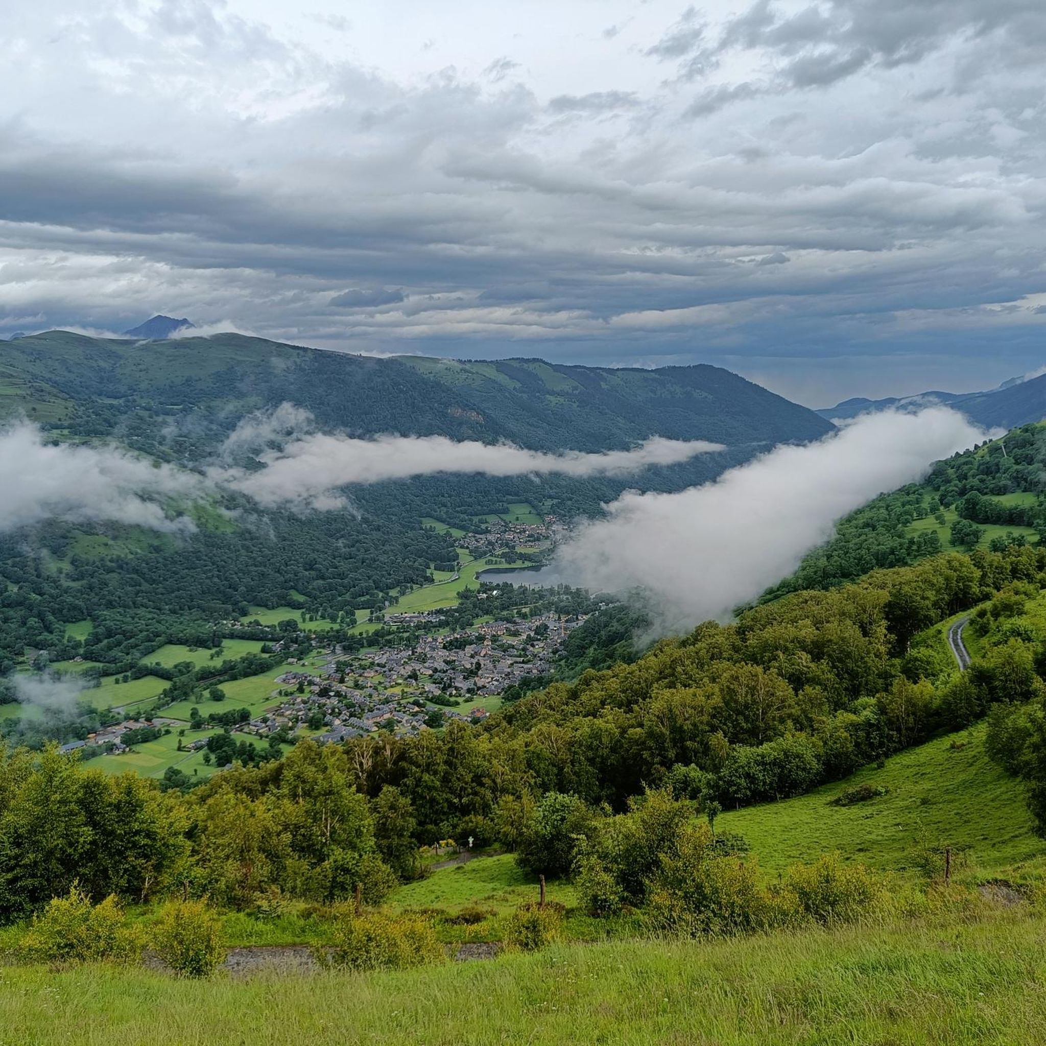
Superb lake in the heart of the Louron valley with beautiful views of the surrounding mountains. The tour of the lake is a superb walk accessible to all. There are several playgrounds along the path.
0
0

Very accessible for those who do not hike in the mountains
0
0

A nice reward awaits you with delicious pancakes...
1
0

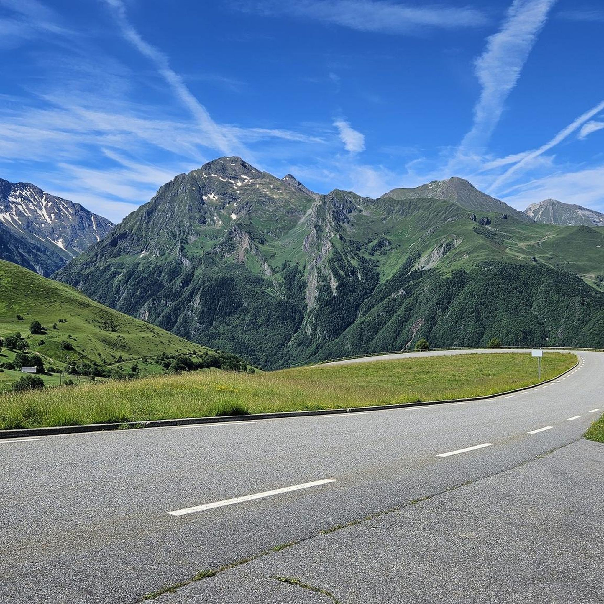
The Col de Peyresourde is one of the legendary passes of the Pyrenees. Located at an altitude of 1,589 meters, it marks the separation between the Hautes-Pyrénées and Haute-Garonne departments. The most emblematic climb is the one that starts from Bagnères-de-Luchon. It extends over 13.74 kilometers with an average of 6.9%. It begins with a long false flat before really rising over the last few kilometers.
2
2
Loudenvielle is a charming little mountain village on the shores of Lac de Génos. Enjoying a rich cultural heritage, Loudenvielle invites you to take a pleasant break in a remarkable natural setting.
0
0

A nice view of this lake (it's a dam lake) for a sandwich break before getting back on the road!
0
0
Frequently Asked Questions
How many running routes are available in Germ?
There are over 140 dedicated jogging routes in Germ, offering a wide variety of experiences. This includes 5 easy routes perfect for beginners, 32 moderate options, and 103 more challenging trails for experienced runners.
What kind of terrain can I expect on jogging routes in Germ?
Jogging routes in Germ traverse a diverse landscape featuring scenic lakes, expansive valleys, and forested areas. You'll find a mix of terrain, from gentle lakeside paths with minimal elevation changes to routes with significant climbs through wooded hillsides.
Are there any easy or beginner-friendly running routes in Germ?
Yes, Germ offers several easy routes suitable for beginners. For a gentle run with pleasant lakeside scenery, consider the Lake Génos – Lake Génos-Loudenvielle loop from Loudervielle, which is 2.4 miles (3.9 km) long and has minimal elevation gain.
What do other runners enjoy most about jogging in Germ?
The komoot community highly rates the running experiences in Germ, with an average score of 4.4 stars from nearly 100 reviews. Runners often praise the region's varied terrain, from serene lakeside paths to challenging forested climbs, and the beautiful natural scenery.
Are there any circular jogging routes in Germ?
Many of the jogging routes in Germ are circular, allowing you to start and finish in the same location. For example, the popular View of Lake Loudenvielle loop from Loudervielle offers a moderate 5.0-mile (8.1 km) circular path with scenic lake views.
What are some scenic viewpoints or landmarks I can see while running in Germ?
While jogging in Germ, you can encounter stunning natural features. Many routes offer views of picturesque lakes like Lake Génos-Loudenvielle. For more dramatic vistas, some trails lead towards mountain passes such as Col de Val Louron-Azet or offer glimpses of peaks like Perdiguero Peak.
Are there any routes that feature waterfalls or other water features?
Yes, the region's landscape includes beautiful water features. You might find routes that pass by or offer views of lakes such as Lac d'Oô. There's also a highlight for the Trail from Granges d'Astau to Lac d'Oô and the Waterfall, suggesting opportunities to see cascades.
Can I find longer, more challenging running routes in Germ?
Absolutely. For those seeking a challenge, Germ has 103 difficult routes. A notable option is the Sentier des Mélèzes Loop, an 8.5-mile (13.8 km) trail with significant elevation gain through forested terrain, taking over two hours to complete.
Are there any running routes that offer panoramic views of the valleys?
Yes, several routes provide expansive views of the valleys. The Lake Génos – Panorama of the valley loop from Génos is a moderate 8.8-kilometer (5.5-mile) route specifically designed to showcase the valley's beauty.
Are there any routes that pass by mountain huts or refuges?
Yes, some routes in the Germ area may bring you close to mountain refuges. For instance, the Portillon Refuge is a notable highlight in the region, which could be a point of interest on longer or more adventurous runs.
Most popular attractions around Germ

Get inspired with the komoot mobile app


Explore more
Browse the best Running Trails & Routes in other regions.
