The best running trails around Othmarsingen
4.5
(416)
11,451
runners
11
runs
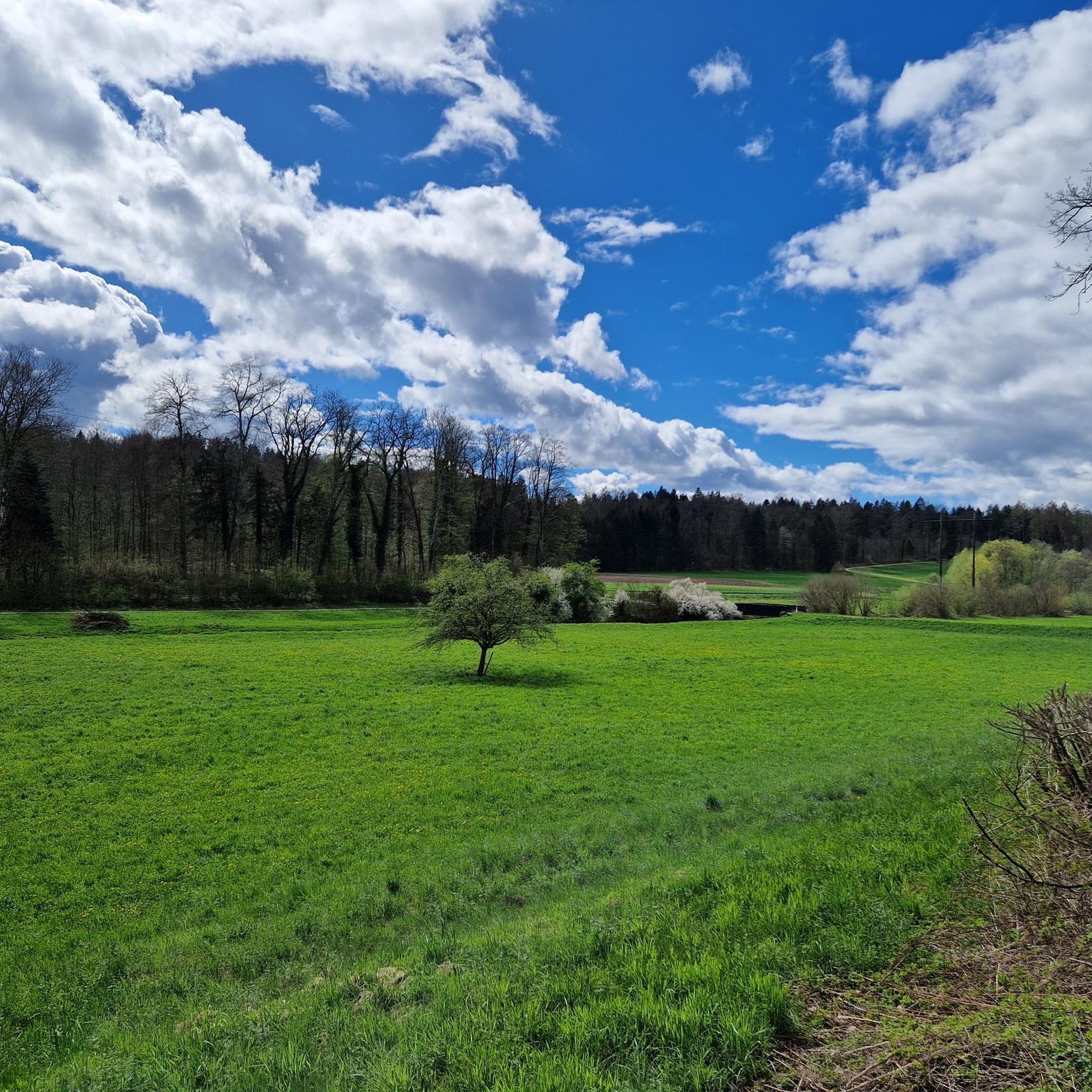
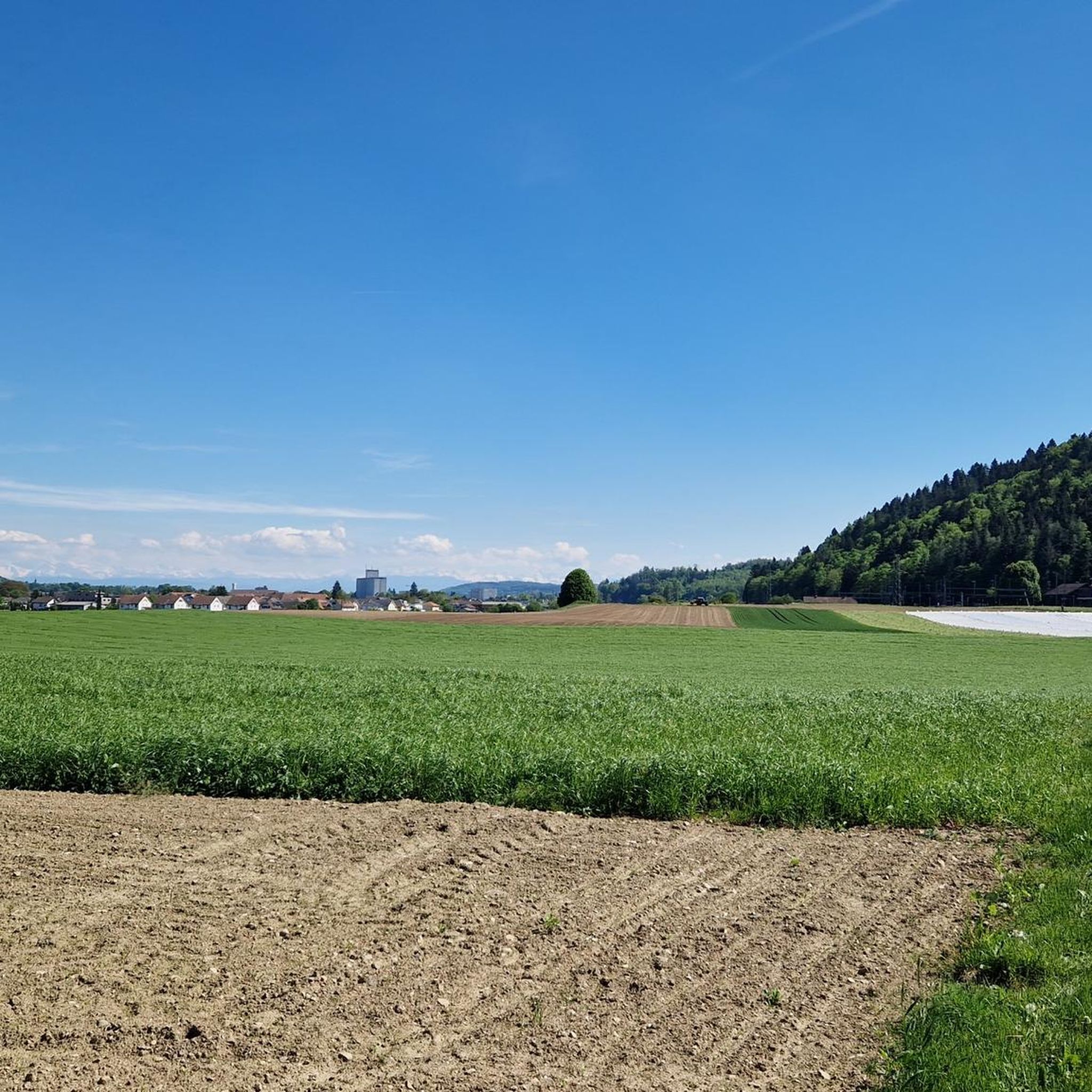
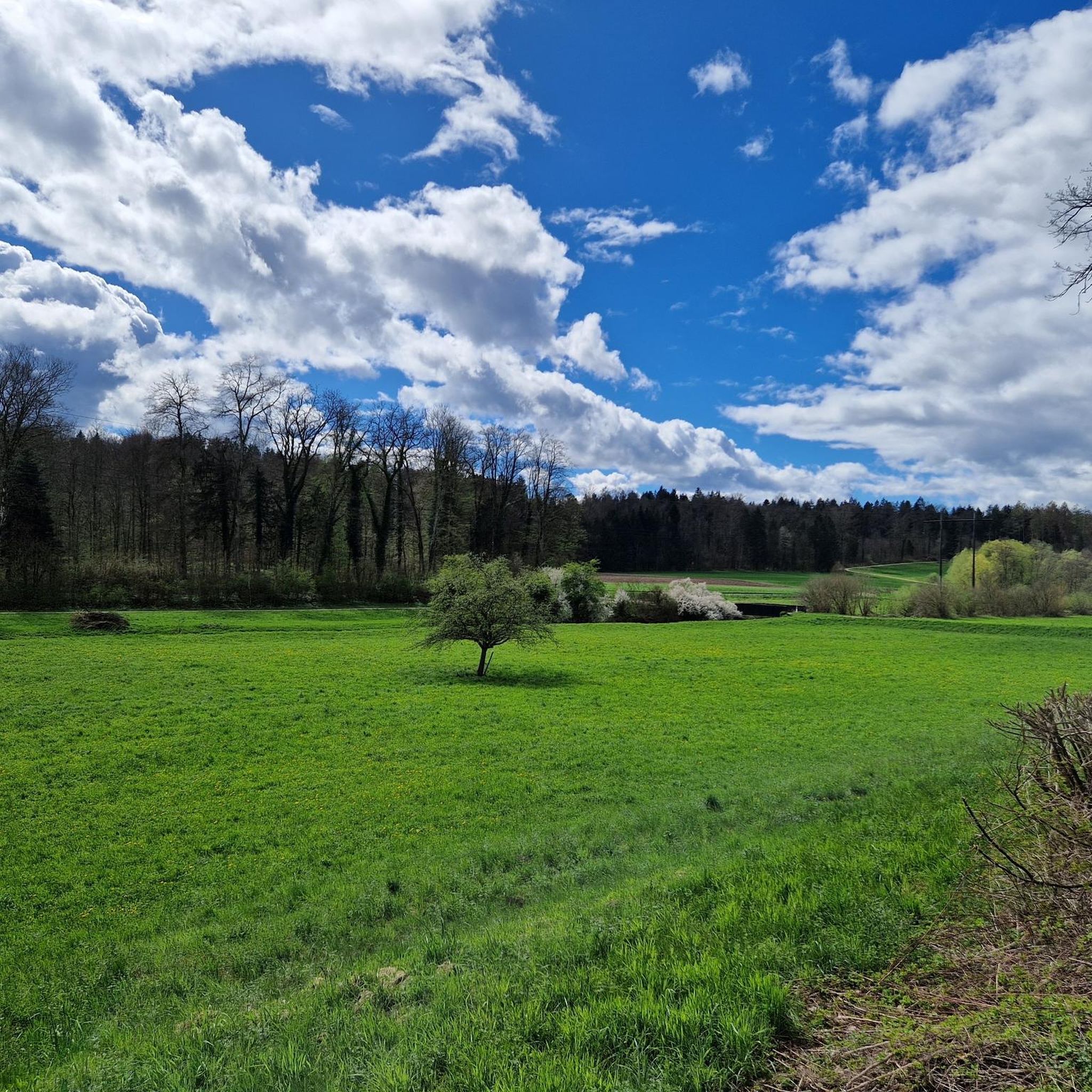
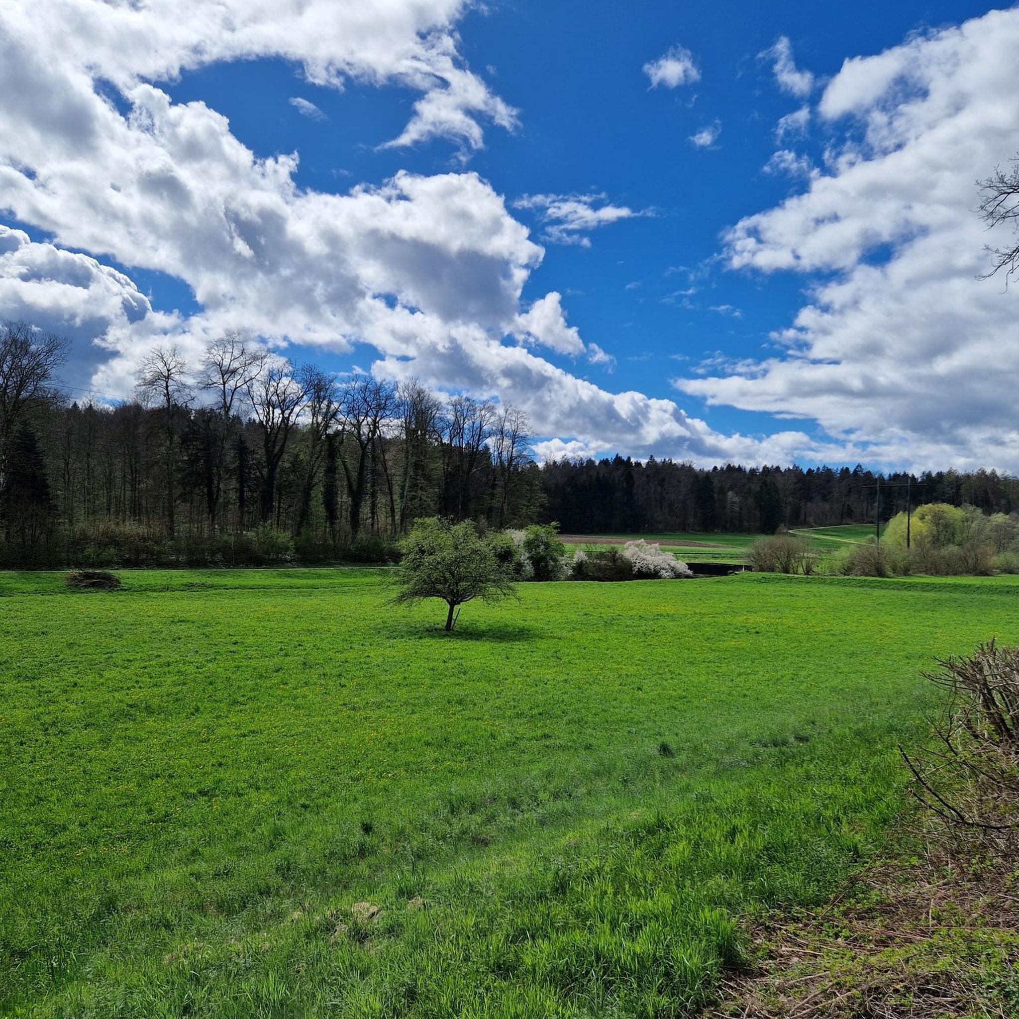
Jogging around Othmarsingen offers diverse landscapes and well-established trail networks within the canton of Aargau, Switzerland. The region features gentle rolling hills, natural scenery, and the Bünz Valley, providing varied terrain for runners. Trails often lead through forests and along rivers, catering to different preferences for outdoor exercise.
Best jogging routes around Othmarsingen
- The most popular jogging route is Wohlen–Dottikon Road – Tree chapel in the Bünz Valley loop from Othmarsingen, a 9.8 miles (15.7 km) trail that takes…
Last updated: June 27, 2026
19
runners
Hard run. Very good fitness required. Mostly paved surfaces. Suitable for all skill levels.
11
runners
4.96km
00:31
30m
30m
Easy run. Great for any fitness level. Mostly paved surfaces. Suitable for all skill levels.

Sign up for free
10
runners
8.78km
00:56
90m
90m
Moderate run. Good fitness required. Mostly paved surfaces. Suitable for all skill levels.
8
runners
5.02km
00:31
30m
30m
Moderate run. Good fitness required. Mostly paved surfaces. Suitable for all skill levels.
8
runners
5.00km
00:32
40m
40m
Easy run. Great for any fitness level. Mostly paved surfaces. Suitable for all skill levels.
Get access to more routes and recommendations from other explorers.
Sign up for free
Already have an account?
Our route recommendations are based on thousands of hikes, rides, and runs completed by other people on komoot.
Start today with a free account
Your next adventure awaits.
Login or Signup
Tips from the Community

I think the tree chapel doesn't have too many visitors; on all my visits there has always been room on the bench.
0
0
Riding through the Bünz Tunnel again, always cool, especially when it gets dark with just the bike lights.
1
0
The narrow metal tunnel bridge leaves little space between the tunnel wall and the metal railing
1
0
The second trail leads along the Bünz from the bridge towards the Wildegg school
0
0
Take the opportunity to drive on the narrow tunnel bridge again and again, crossing the tunnel is a tight affair
1
0
Good place to take a break on the bench in the shade of the trees when the temperatures are hot
0
0
I discovered another tree chapel near Linn, a place of contemplation and meditation for Christians
0
0
Frequently Asked Questions
How many running routes are available around Othmarsingen?
There are 11 dedicated running routes around Othmarsingen listed on komoot, offering a variety of distances and difficulty levels for joggers.
What kind of terrain can I expect on the running trails in Othmarsingen?
The running trails in Othmarsingen offer diverse landscapes, characterized by gentle rolling hills, natural scenery, and the picturesque Bünz Valley. You'll find routes leading through forests and along rivers, providing varied terrain suitable for different running preferences.
Are there running routes for all fitness levels in Othmarsingen?
Yes, Othmarsingen provides a good mix of running routes for various abilities. Among the available trails, there are 3 easy routes, 7 moderate routes, and 1 difficult route, ensuring options for beginners to experienced runners.
What natural features or landmarks can I see while running in Othmarsingen?
Many running routes in Othmarsingen traverse scenic areas like the Bünz Valley and the Othmarsinger Wald. You might also encounter natural monuments such as the impressive Linner Lime Tree, considered the largest tree in Aargau, or the beautiful Linner Waterfall. Historic sites like Hallwyl Castle are also nearby and can be incorporated into longer excursions.
What do other runners enjoy the most about jogging in Othmarsingen?
The running routes in Othmarsingen are highly rated by the komoot community, with an average score of 4.5 stars from over 360 reviews. Runners often praise the varied terrain, the scenic beauty of the Bünz Valley, and the well-established trail networks that offer a refreshing outdoor experience.
Are there any easy, shorter running loops suitable for beginners or a quick jog?
Yes, for an easier and shorter option, consider the Othmarsinger Wald Trailhead loop from Othmarsingen. This 3.1-mile (5.0 km) trail leads through the Othmarsinger forest and is often completed in about 32 minutes, making it ideal for a quick and accessible run.
Are there any running routes that follow a river?
Absolutely. The Bünz Riverside Single Trail – Bünz River loop from Aargau is a popular moderate 5.3-mile (8.6 km) path that follows the Bünz River, offering pleasant riverside scenery throughout your run.
Can I find longer, more challenging running routes in the Othmarsingen area?
For a more challenging experience, the Wohlen–Dottikon Road – Tree chapel in the Bünz Valley loop from Othmarsingen is a difficult 9.8-mile (15.7 km) trail. This route explores the Bünz Valley, passing a unique tree chapel, and takes approximately 1 hour 40 minutes to complete.
Are there circular running routes available in Othmarsingen?
Yes, many of the running routes in Othmarsingen are designed as loops, allowing you to start and finish in the same location. Examples include the Running loop from Othmarsingen and the Running loop from Aargau, both offering convenient circular paths.
Is Othmarsingen well-connected by public transport for accessing running trails?
Othmarsingen is part of the canton of Aargau, Switzerland, which generally has a well-developed public transport network. While specific access points for each trail vary, the region's infrastructure often allows for convenient access to trailheads via local buses or trains, making it easier to reach your desired starting point.
What is the best time of year to go running in Othmarsingen?
Othmarsingen's diverse landscapes make it suitable for running throughout much of the year. Spring and autumn offer pleasant temperatures and beautiful scenery, while summer provides longer daylight hours. Even in winter, many trails remain accessible, though conditions may vary, especially in forested or higher elevation areas.
Are there any historical or cultural trails that can be used for running in the region?
The broader region around Othmarsingen is home to the **Freiämterweg**, a nature and cultural hiking trail spanning over 190 kilometers. While primarily for hiking, certain stages, such as those starting from or passing through Othmarsingen, offer well-maintained paths that can be suitable for longer runs, allowing you to combine exercise with cultural exploration.
Most popular routes around Othmarsingen
Most popular attractions around Othmarsingen

Get inspired with the komoot mobile app


Explore more
Browse the best Running Trails & Routes in other regions.
