The best running trails around Freycenet-La-Cuche
4.7
(24)
1,003
runners
55
runs
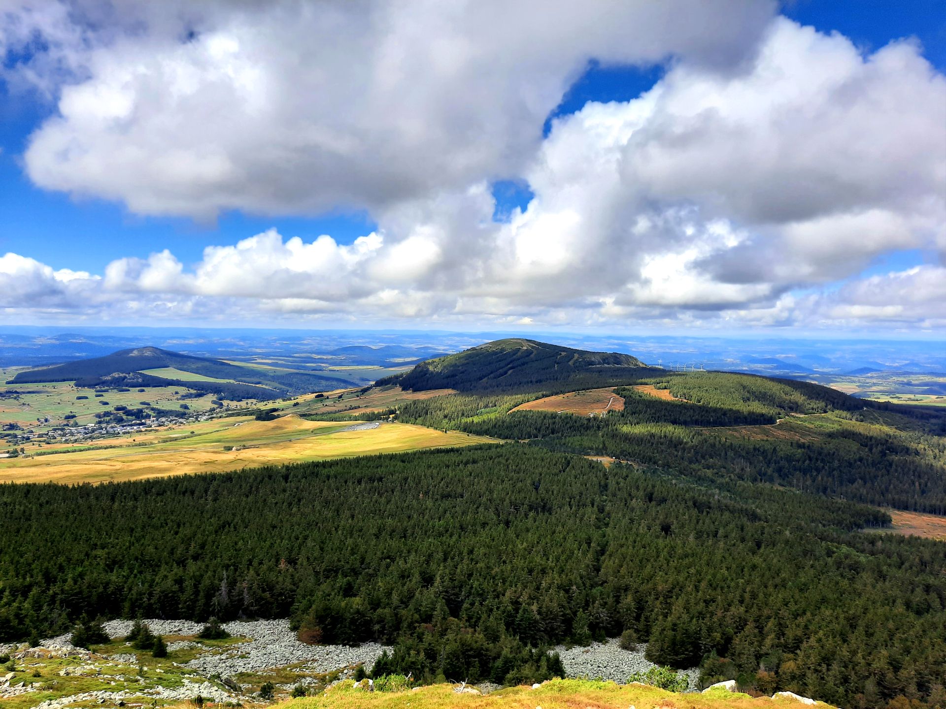
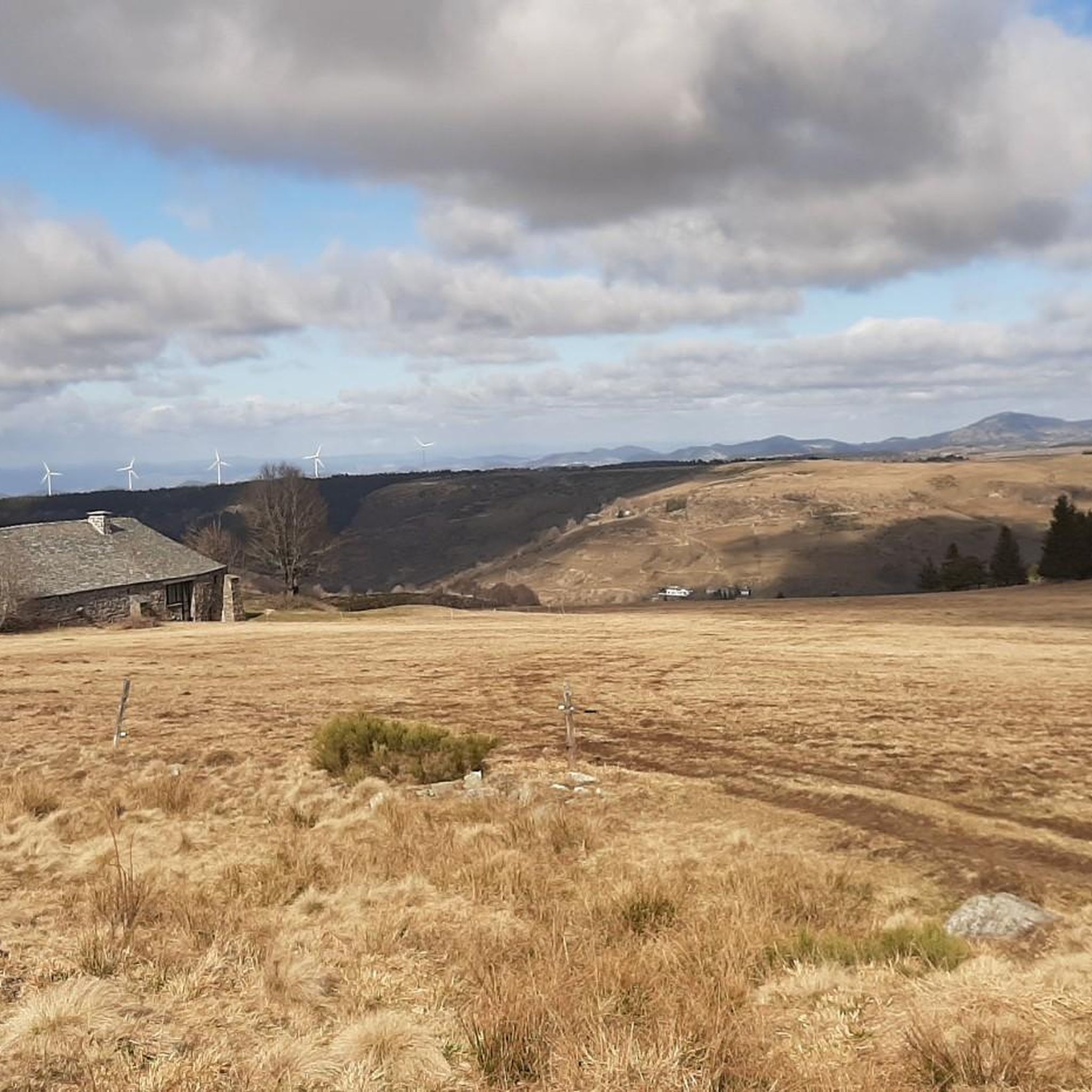
Jogging around Freycenet-La-Cuche offers diverse terrain across an average altitude of 1200 meters, with elevations ranging from 1034m to 1524m. The region is characterized by its volcanic origins, featuring "sucs" (volcanic peaks) and views of Mont Mézenc. Running routes traverse both "beaux sous-bois" (forests) and open fields, with some paths following the Orcival River. This landscape provides varied conditions for running, from gentle gradients to more challenging ascents.
Best jogging routes around Freycenet-La-Cuche
- The most popular jogging route is South…
Last updated: July 13, 2026
5.0
(1)
179
runners
24.9km
03:30
950m
950m
Hard run. Very good fitness required. Sure-footedness, sturdy shoes and alpine experience required.
32
runners
10.7km
01:28
420m
420m
Hard run. Very good fitness required. Sure-footedness, sturdy shoes and alpine experience required.

Sign up for free
26
runners
34.4km
04:24
1,100m
1,100m
Hard run. Very good fitness required. Sure-footedness, sturdy shoes and alpine experience required.
21
runners
Hard run. Very good fitness required. Sure-footedness, sturdy shoes and alpine experience required.
4.3
(3)
11
runners
6.84km
00:44
120m
130m
Moderate run. Good fitness required. Mostly paved surfaces. Suitable for all skill levels.
Get access to more routes and recommendations from other explorers.
Sign up for free
Already have an account?
Our route recommendations are based on thousands of hikes, rides, and runs completed by other people on komoot.
Start today with a free account
Your next adventure awaits.
Login or Signup

Other adventures around Freycenet-La-Cuche

Tips from the Community

Lots of hikers. Be polite and share the trail. The descent with the small steps is a treat.
0
0

pretty flowers, pretty trees, pretty views, but what more could you ask for...oh yes, a windbreaker, because the mistral makes his grandmother cold.
0
0
The cross is a bit ugly but it is not for it that we come to frolic in these green lands but rather for this landscape that would make a Caribou pale.
0
0
landscape that would make a caribou pale
0
0

A pass at an altitude of over 1500 m. It is the highest in Ardèche.
0
0

One of the highest road points in Haute-Loire, and a very beautiful view of the Pic Du Lisieux
0
0

The paths on Mont Mezenc have recently been renovated. Not all of the paths shown are still there. The remaining paths are relatively wide for a mountain peak and easy to walk.
0
0

beginner mountain bike ride
0
0
Frequently Asked Questions
How many running routes are available around Freycenet-La-Cuche?
There are over 50 dedicated jogging routes around Freycenet-La-Cuche, offering a wide variety of terrain and distances for all fitness levels.
What kind of terrain can I expect on the jogging trails?
The region's volcanic origins mean you'll encounter diverse terrain, including 'sucs' (volcanic peaks), dense forests ('beaux sous-bois'), and open fields. Routes often feature panoramic views and some follow the Orcival River, providing a mix of shaded and exposed paths.
Are there any easy jogging routes for beginners or casual runners?
Yes, while many routes are challenging, there are 4 easy jogging paths available. These typically offer gentler gradients through fields and along small roads, still providing excellent viewpoints without demanding ascents.
What are some notable natural features or landmarks I might see while running?
You can expect stunning panoramic views, often including the majestic Mont Mézenc. Other notable features include Mount Gerbier de Jonc, where the Loire River begins, and the Boutières Cross Pass. The area is also recognized as a UNESCO Global Geopark for its unique geological heritage.
Are there any circular running routes in the area?
Yes, many of the routes are circular. For example, the challenging South summit of Mont Mézenc – Boutières Cross Pass loop from Les Estables offers expansive views, and the Boutières Cross Pass – Cirque des Boutières loop from Les Estables explores the volcanic landscape.
What do other runners say about the trails in Freycenet-La-Cuche?
The running routes in Freycenet-La-Cuche are highly rated by the komoot community, with an average score of 4.8 stars from over 20 reviews. Runners frequently praise the varied terrain, the stunning panoramic views, and the well-maintained paths through forests and open fields.
Can I bring my dog on the jogging trails?
Many trails in natural areas are generally dog-friendly, especially if your dog is well-behaved and kept on a leash. However, it's always recommended to check specific local regulations or signage along individual routes, particularly in protected areas or near livestock.
Are there any routes suitable for families with children?
For families, the easier routes through fields and along quieter roads are often best. These paths provide a good opportunity to enjoy the scenery without overly strenuous climbs. Look for routes with less elevation gain for a more relaxed family outing.
What is the best time of year to go jogging in Freycenet-La-Cuche?
Given the region's average altitude of 1200 meters, late spring, summer, and early autumn generally offer the most pleasant conditions for jogging. Winters can bring snow and colder temperatures, making some trails more challenging or inaccessible.
Are there any historical or cultural points of interest near the running paths?
Beyond natural beauty, you might encounter the Viaduc de la Recoumène, the tranquil Étang des Barthes, or even a wind farm. Nearby charming villages like Arlempdes and Pradelles, designated as 'Most Beautiful Villages,' and Le Monastier-sur-Gazeille with its abbey, offer opportunities for exploration.
Where can I find parking for the jogging routes?
Many trailheads, especially those starting from villages like Les Estables, offer designated parking areas. It's advisable to check the starting point of your chosen route on komoot for specific parking information.
What is the longest running route available?
The longest route listed is the South summit of Mont Mézenc – North summit of Mont Mézenc loop from Les Estables, which spans approximately 38 kilometers (23.6 miles) and involves significant elevation changes.
Most popular attractions around Freycenet-La-Cuche

Get inspired with the komoot mobile app


Explore more
Browse the best Running Trails & Routes in other regions.
