The best walks and hikes around Champclause
4.5
(222)
1,439
hikers
24
hikes
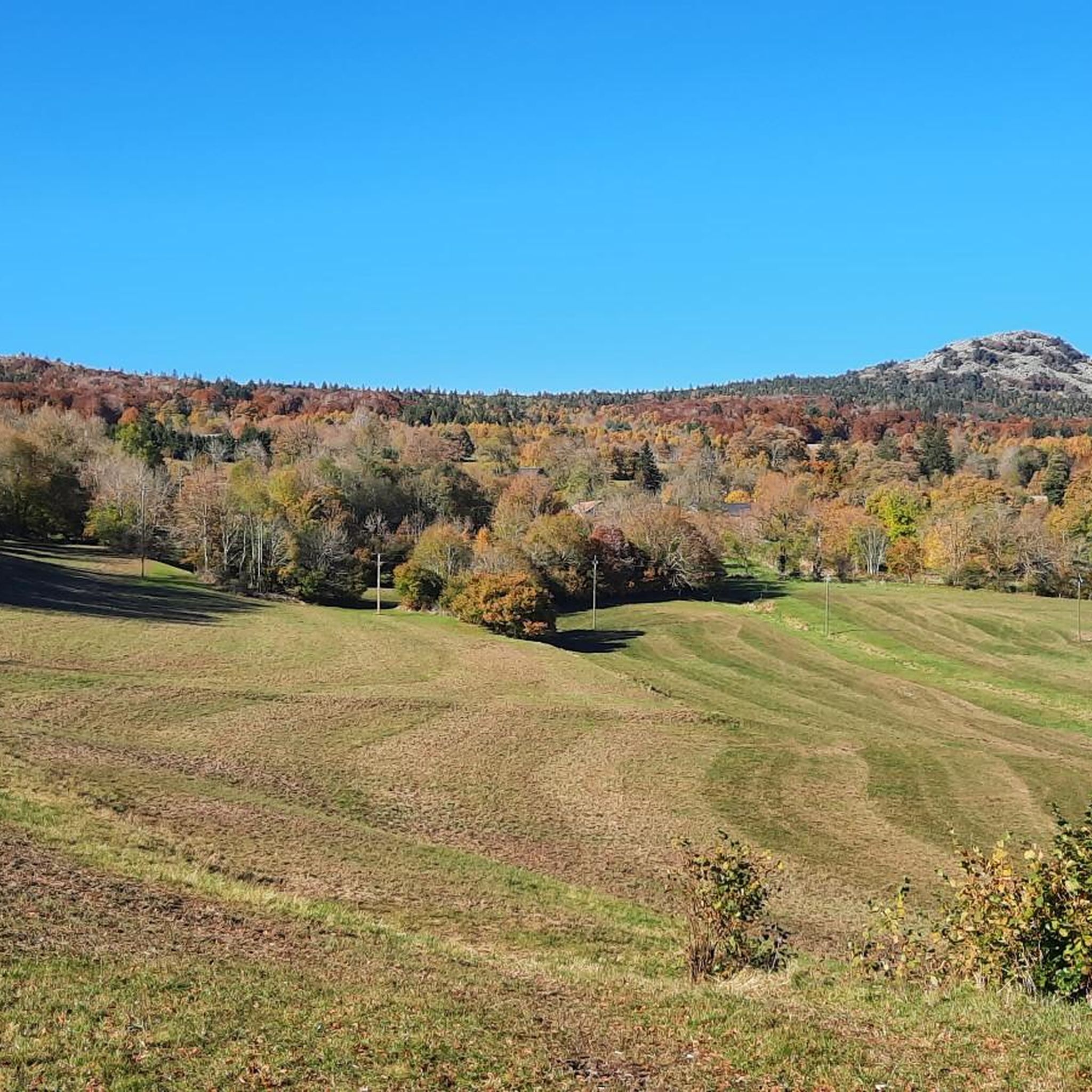
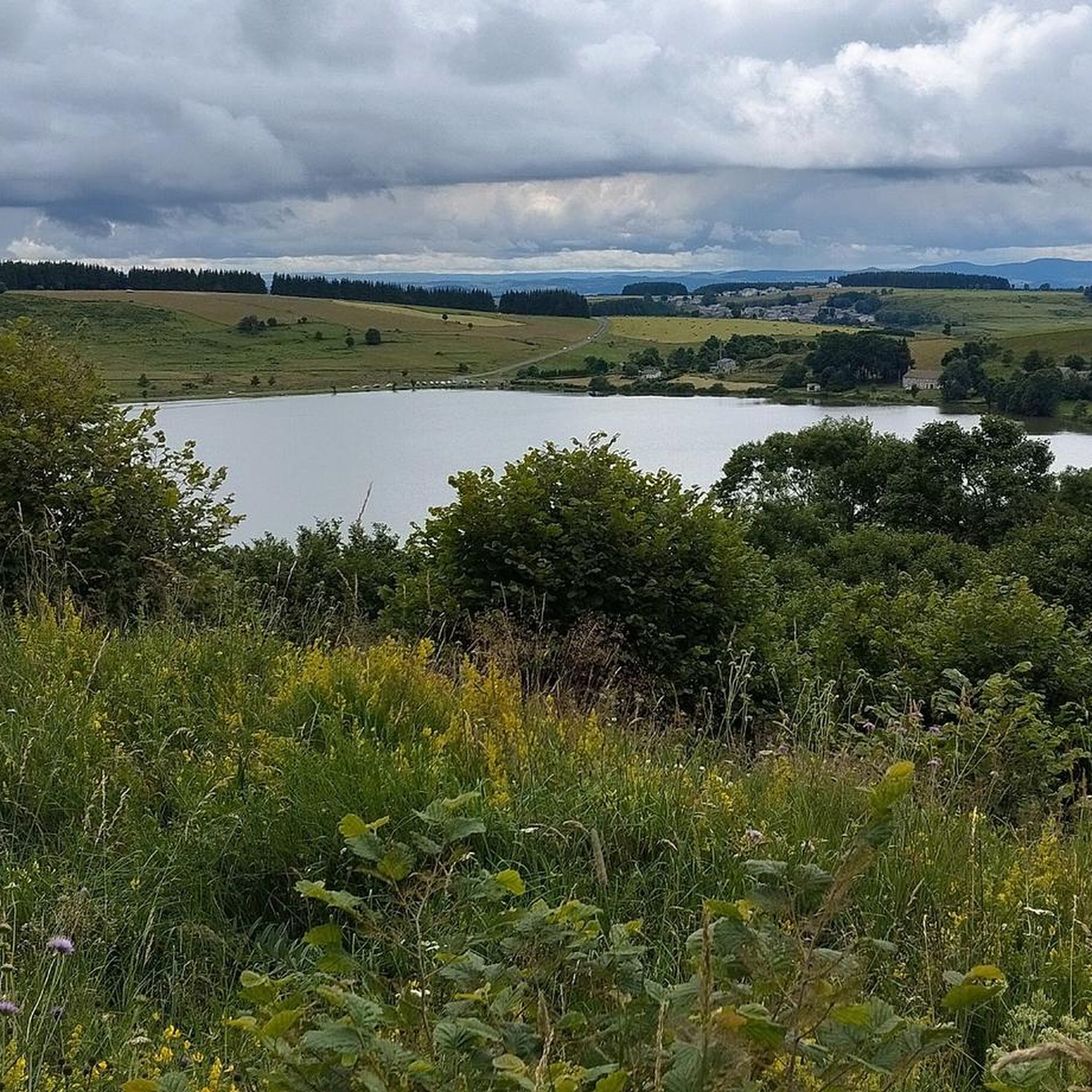
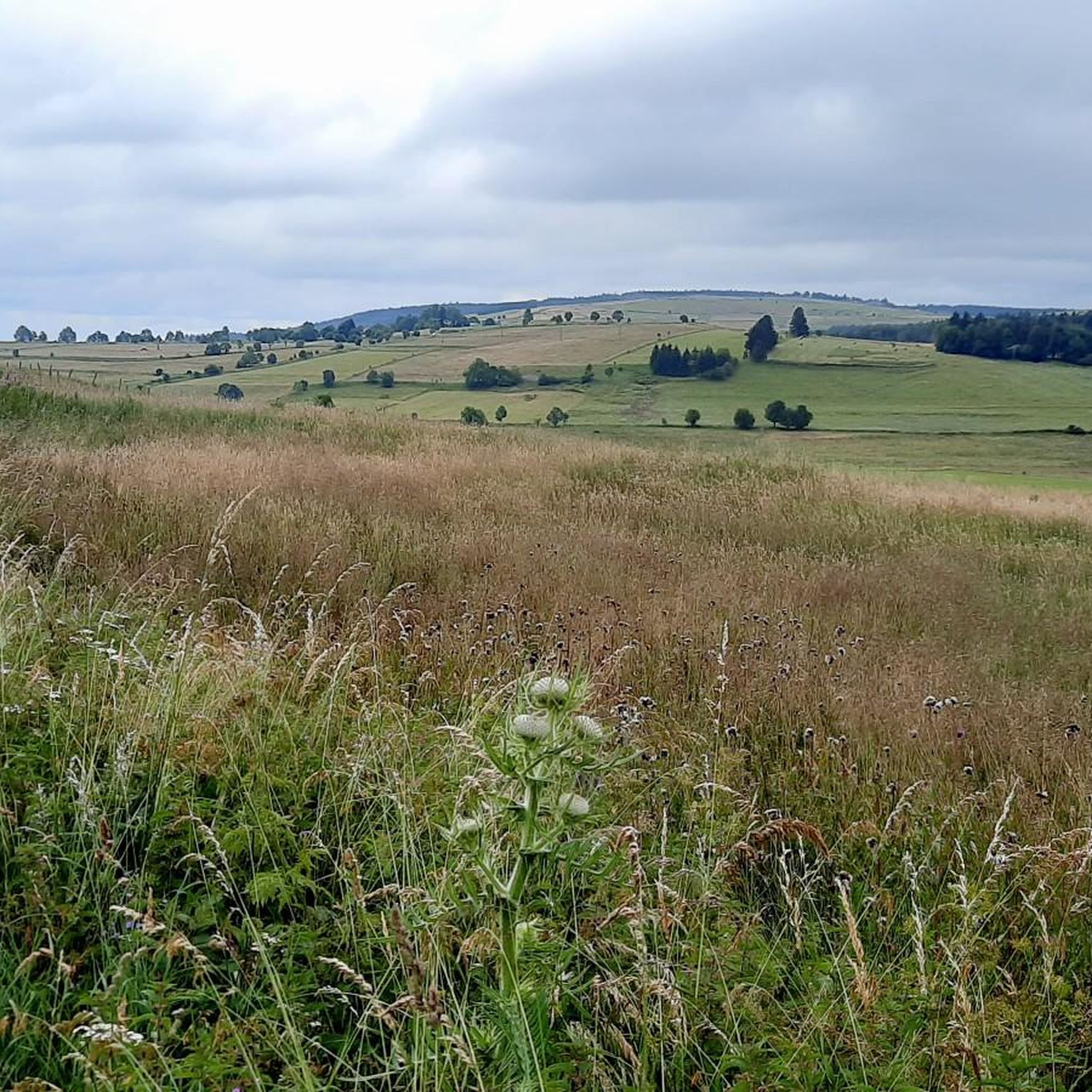
Hiking around Champclause offers diverse terrain shaped by ancient volcanic activity in the Massif Central. The region features dense conifer forests, notably the Meygal massif, and pristine waterways. Hikers encounter varied landscapes, from scree fields formed by volcanic eruptions to the striking Lac Bleu, situated at approximately 1200 meters altitude. The area's geological heritage contributes to its distinctive terrain and panoramic views.
Best hiking trails around Champclause
- The most popular hiking route is The Testavoyre – Monedeyres loop from Montusclat…
Last updated: July 9, 2026
4.4
(10)
73
hikers
17.5km
05:10
520m
520m
Hard hike. Very good fitness required. Easily-accessible paths. Suitable for all skill levels.
4.5
(6)
57
hikers
8.97km
02:30
170m
170m
Moderate hike. Good fitness required. Easily-accessible paths. Suitable for all skill levels.

Sign up for free
4.4
(12)
30
hikers
10.9km
03:14
330m
330m
Moderate hike. Good fitness required. Easily-accessible paths. Suitable for all skill levels.
4.0
(3)
15
hikers
4.20km
01:14
120m
120m
Easy hike. Great for any fitness level. Easily-accessible paths. Suitable for all skill levels.
5.0
(1)
20
hikers
7.47km
02:10
200m
200m
Moderate hike. Good fitness required. Easily-accessible paths. Suitable for all skill levels.
Get access to more routes and recommendations from other explorers.
Sign up for free
Already have an account?
Our route recommendations are based on thousands of hikes, rides, and runs completed by other people on komoot.
Start today with a free account
Your next adventure awaits.
Login or Signup

Tips from the Community

Some very muddy sections! Otherwise, a very pleasant route.
0
0

The return route via La Chèze is magnificent! Superb views!
0
0

Nice little hike not suitable for strollers
0
0
Impassable at the end, definitely don't go there with a stroller!
0
0

This former phonolite slate quarry became, after abandonment of the extraction site, Lac Bleu. Nearby, large rock walls display the traces left by generations of lauzerons who succeeded one another to cut the lauze so present on the roofs of the Meygal region.
0
0

The highest point of Via Gennensis (1276 m). From here you have a fantastic view of the respective valley locations.
0
0

It is a place near the summit of Testavoyre, which can serve as a rest area in summer, as a refuge in winter.
0
0

Located at 1200 meters above sea level, small village of Champclause with a beautiful church listed as a historical monument.
1
0
Frequently Asked Questions
How many hiking trails are available in Champclause?
Champclause offers a comprehensive network of over 25 hiking trails. These routes cater to various fitness levels, including 8 easy, 16 moderate, and 1 difficult trail, ensuring options for every hiker.
What do other hikers say about the trails in Champclause?
The hiking trails in Champclause are highly regarded by the komoot community, boasting an average rating of 4.5 stars from over 200 reviews. More than 1300 hikers have explored the diverse terrain, often praising the serene beauty of places like Lac Bleu and the panoramic views from volcanic peaks.
Are there any circular hiking routes in Champclause?
Yes, Champclause features several excellent circular routes. For example, the moderate Blue Lake – Champclause Church loop from Champclause is a popular choice, leading through pine forests to the distinctive Lac Bleu and past the historic Champclause church. Another easy option is the Lac Bleu de Champclause loop from Les Balayes, perfect for a shorter walk.
Can I find trails with panoramic viewpoints in Champclause?
Absolutely. The region is known for its stunning vistas. The challenging The Testavoyre – Monedeyres loop from Montusclat ascends to Testavoyre, offering breathtaking 360-degree panoramic views of the surrounding landscape, including the Mont Mézenc massif and even the Alps on clear days.
Are there family-friendly hiking options in Champclause?
Yes, there are several family-friendly trails. The Lac Bleu de Champclause loop from Les Balayes is an easy 4.3 km (2.7 miles) route, ideal for families, leading through pine forests to the tranquil Lac Bleu. Many of the easy-rated trails are suitable for a pleasant family outing.
Are dogs allowed on the hiking trails in Champclause?
Generally, dogs are welcome on hiking trails in the Champclause region, especially if kept on a leash. However, it's always advisable to check local signage at trailheads for any specific restrictions, particularly in nature reserves or protected areas, to ensure a pleasant experience for everyone.
Are there any waterfalls to see while hiking in Champclause?
Yes, the region features natural wonders like waterfalls. You can explore the Cascade de la Beaume, a beautiful waterfall that can be incorporated into various hiking routes, offering a refreshing stop amidst your journey through the volcanic landscape.
What natural features can I expect to see on hikes in Champclause?
Champclause's landscape is shaped by ancient volcanic activity. You'll encounter the striking blue-green Lac Bleu, dense conifer forests of the Meygal massif, and unique geological formations like 'chier' (scree fields) and 'sucs' (volcanic peaks). The Basalt organ of Queyrières is another fascinating natural monument.
What cultural or historical sites can be explored on hikes?
Beyond its natural beauty, Champclause offers glimpses into its rich history. Many trails pass through charming villages with ancient stone houses. You can visit the Romanesque church in Champclause, first mentioned in 1165, or the atypical church in nearby Boussoulet, built within a renovated farm. The View of Boussoulet loop from La Calla offers views of this area.
What is the best time of year to hike in Champclause?
Champclause is beautiful year-round. Spring and autumn offer pleasant temperatures and vibrant colors, ideal for hiking. Summer is also popular, though trails can be busier. In winter, the Meygal Nordic ski area transforms, providing opportunities for cross-country skiing and snowshoeing, making it a destination for all seasons.
Are there options for winter hiking or snowshoeing?
Yes, during the colder months, the Meygal Nordic ski area, located within the Meygal forest, becomes a fantastic destination for winter sports. You can enjoy cross-country skiing and snowshoeing on designated trails, offering a different perspective of the region's snowy landscapes.
Is parking available at the trailheads in Champclause?
While specific parking details vary by trailhead, Champclause generally offers accessible parking options near popular starting points for hikes. Many villages and attractions, such as Lac Bleu or the Meygal Nordic ski area, provide designated parking areas for visitors.
Most popular routes around Champclause
Most popular attractions around Champclause

Get inspired with the komoot mobile app


Explore more
Browse the best Hikes in other regions.
