The best walks and hikes around Raulhac
4.4
(233)
1,443
hikers
62
hikes
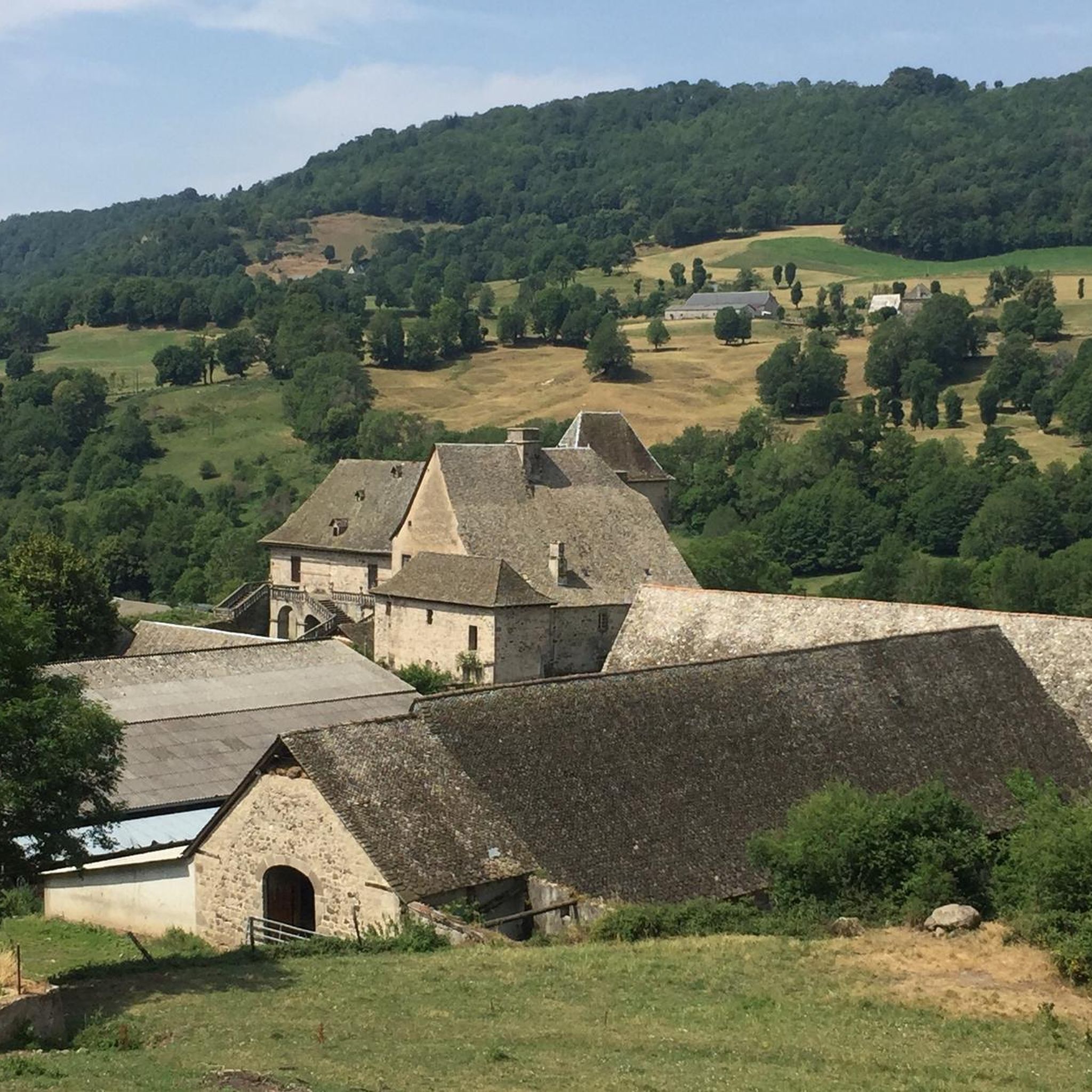
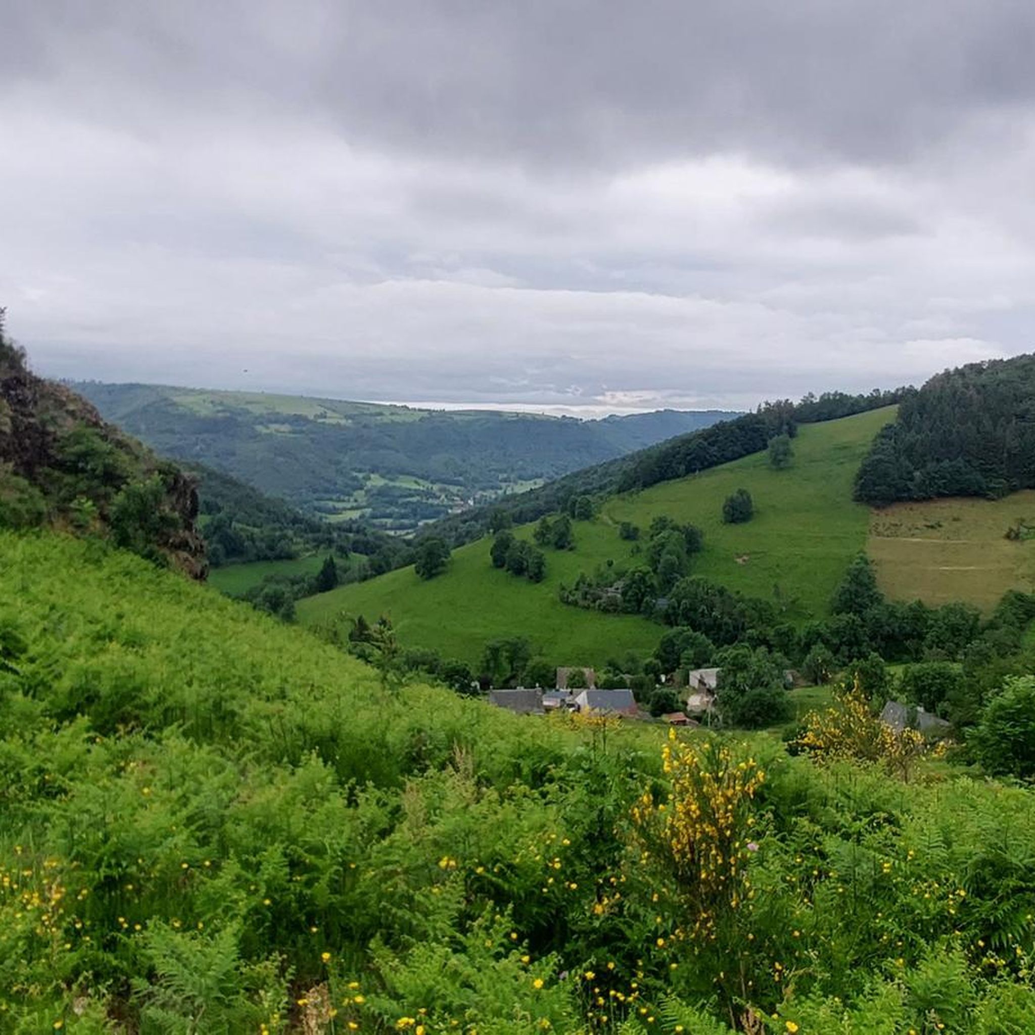
Hiking around Raulhac offers access to diverse landscapes shaped by its location on the southern edge of the ancient Cantal stratovolcano. The region features a varied terrain of rolling hills, verdant valleys, and volcanic formations, providing a range of elevations for hikers. Extensive forests and the Goul River valley contribute to the natural environment, with trails often leading through unspoiled natural areas. This area is situated near the Auvergne Volcanoes Regional Park, expanding the network of available hiking trails.
Best…
Last updated: June 29, 2026
2
hikers
8.35km
02:38
340m
340m
Moderate hike. Good fitness required. Mostly accessible paths. Sure-footedness required.
4.9
(7)
33
hikers
5.74km
01:40
140m
140m
Easy hike. Great for any fitness level. Easily-accessible paths. Suitable for all skill levels.

Sign up for free
3.3
(4)
15
hikers
8.98km
02:48
350m
350m
Moderate hike. Good fitness required. Easily-accessible paths. Suitable for all skill levels.
4.5
(2)
16
hikers
22.5km
06:39
660m
660m
Hard hike. Very good fitness required. Easily-accessible paths. Suitable for all skill levels.
5.0
(3)
18
hikers
Moderate hike. Good fitness required. Easily-accessible paths. Suitable for all skill levels.
Get access to more routes and recommendations from other explorers.
Sign up for free
Already have an account?
Our route recommendations are based on thousands of hikes, rides, and runs completed by other people on komoot.
Start today with a free account
Your next adventure awaits.
Login or Signup

Tips from the Community

Summit accessible by gravel bike from the Lioran station via a fairly clean gravel path but with a steep climb (20% gradient in places). It's a beautiful challenge that is well worth it just for the panoramic view at the summit.
0
0

There seems to be an error, the point indicates the top of an impassable hiking trail, I had to push/carry the bike for 2/3 of the route (uphill from saint jacques de blat and downhill towards prat du bouc). However, the view is incredible, I don't regret this little hassle. There seem to be much more rideable trails below.
0
0


Superb walk which crosses the valley twice via magnificent undergrowth paths, crossing the river at the bottom of the valley by two pedestrian footbridges, view of the mountains on the ridge, we finish by walking along the Carlat rock. You need a good physical condition but the paths are all very passable and superbly signposted. This path indeed follows the ‘chemin des manores’ created by the association ‘les crampons de Murgat’. The recorded route includes a 1km detour put in place due to a recent landslide (April 2024).
0
0

a 360° view of the Cantal, Lozère, Puy de Dôme... breathtaking
0
0

Magnificent hike with a big climb to reach the lead of Cantal (1855m altitude). It is better to take a jacket (it is very cold up there). The hike takes between 2h and 3h45 (with a break).
0
0

On the terraces of Carladez, Mur-de-Barrez is a town with a remarkable architectural heritage. The Monaco tower, the former main gateway when the city was fortified, was the property of the princes of Monaco. In addition to the tower, the Renaissance house which houses the town hall, the two churches, the castle of Venzac and the war memorial are all protected as historical monuments.
0
0

Small path along the Siniq river, just outside Brommat. We pass by the very pretty Moulin de Burée.
1
0
Frequently Asked Questions
How many hiking trails are available around Raulhac?
Raulhac offers a wide variety of hiking opportunities, with over 60 trails available. These routes cater to different skill levels, from easy riverside paths to more challenging mountain ascents through volcanic terrain.
What kind of terrain can I expect when hiking near Raulhac?
The terrain around Raulhac is highly diverse, shaped by its location on the southern edge of the ancient Cantal stratovolcano. You'll encounter rolling hills, verdant valleys, and impressive peaks. The region features extensive forests, the picturesque Goul River valley, and dramatic volcanic formations, offering a varied landscape for hikers.
Are there easy hiking trails suitable for beginners or families in Raulhac?
Yes, Raulhac has several easy trails perfect for beginners or family outings. For instance, the Along the Siniq River loop from Brommat is an easy 3.6-mile (5.8 km) path that follows the Siniq River, offering a gentle walk through a picturesque valley. There are 15 easy routes in total.
What natural features or landmarks can I see along the hiking trails?
Hiking around Raulhac offers access to numerous natural and historical landmarks. You can explore the dramatic Gorges de la Cère or Jordanne Gorges, or discover cascades like Cascade de Liadouze and Cascade du Déroc. Highlights include the Roucole Waterfall, the scenic Pas de Cère Gorges, and the Hangman's Rock viewpoint. The region's volcanic history also means impressive geological formations and panoramic views.
Are there any circular hiking routes in the Raulhac area?
Yes, many trails around Raulhac are designed as circular routes, allowing you to start and end at the same point. An example is the Château des Huttes loop from Communauté de communes Cère et Goul en Carladès, a moderate 9.1 km hike. These loops are convenient for exploring the diverse landscapes without retracing your steps.
What historical sites or castles can be visited while hiking?
The Raulhac area is rich in history. A notable trail leads to the historic Château de Messilhac, a 13th-century fortress with a Renaissance façade overlooking the Auvergne volcanoes. Other historical sites include Château de Cropières, the ruins of Puechmouriez Tower, and the ancient Saint Pierre es Liens church in Raulhac village itself. Part of the historic Pilgrim's Way to Santiago de Compostela also passes through the region.
What is the best time of year to go hiking in Raulhac?
The region offers hiking opportunities throughout the year. Spring and autumn provide pleasant temperatures and vibrant scenery, with lush greenery in spring and colorful foliage in autumn. Summer is ideal for higher mountain paths, while winter can offer unique snowshoeing experiences, especially in the higher elevations of the Cantal mountains, though some trails may be less accessible.
What do other hikers enjoy most about the trails in Raulhac?
The trails in Raulhac are highly rated by the komoot community, with an average score of 4.3 stars from over 200 reviews. Hikers often praise the diverse volcanic landscapes, the well-maintained paths, and the stunning panoramic views of the Cantal mountains. The blend of natural beauty and historical sites is also frequently highlighted.
Are there any challenging hikes for experienced trekkers?
Absolutely. For experienced trekkers, the region offers challenging routes with significant elevation changes. The Plomb du Cantal – Puy Brunet loop from Ma Montagne is a difficult 13.9-mile (22.5 km) trail that takes you through volcanic terrain and high mountain paths, often completed in about 6 hours 38 minutes. There are 7 difficult routes available for those seeking a greater challenge.
Are the hiking trails around Raulhac dog-friendly?
Many trails in the Raulhac area are suitable for hiking with dogs, allowing you to enjoy the natural beauty with your canine companion. It's always recommended to keep dogs on a leash, especially in areas with livestock or protected wildlife, and to check specific trail regulations before you go.
Are there opportunities for wild swimming near the trails?
While specific wild swimming spots directly adjacent to trails are not detailed, the region is known for its water features like the Gorges de la Cère and the Goul River valley. For more information on water activities and potential swimming spots, you might find additional details on local tourism sites such as Pays d'Aurillac Tourisme.
Are there any less crowded hiking options in Raulhac?
While popular routes can see more visitors, Raulhac's extensive network of over 60 trails means there are always quieter options available. Exploring some of the lesser-known paths or hiking during off-peak hours (early morning or late afternoon) can provide a more serene experience. The vastness of the Auvergne Volcanoes Regional Park also offers many opportunities to find solitude.
Most popular attractions around Raulhac

Get inspired with the komoot mobile app


Explore more
Browse the best Hikes in other regions.
