The best cycling routes around Montfort
4.3
(64)
425
riders
81
rides
Touring cycling around Montfort offers diverse landscapes, from tranquil riverside paths along the Meu to extensive forest trails within the Forêt de Montfort and the mythical Brocéliande. The region features a network of greenways and dedicated bike lanes, including the "Green Belt" route, providing accessible options for various skill levels. Terrain varies from paved sections to unpaved paths, with gentle gradients along rivers and some moderate climbs in forested areas. Montfort's position as a gateway to the Brocéliande forest provides…
Last updated: July 3, 2026
4.6
(5)
22
riders
73.8km
04:46
820m
820m
Hard bike ride. Very good fitness required. Mostly paved surfaces. Suitable for all skill levels.
4.0
(2)
15
riders
43.3km
02:35
260m
260m
Moderate bike ride. Good fitness required. Mostly paved surfaces. Suitable for all skill levels.

Sign up for free
16
riders
25.2km
01:36
190m
190m
Moderate bike ride. Good fitness required. Mostly paved surfaces. Suitable for all skill levels.
4.3
(3)
17
riders
24.5km
01:27
70m
70m
Easy bike ride. Great for any fitness level. Mostly paved surfaces. Suitable for all skill levels.
5.0
(1)
8
riders
72.7km
04:21
490m
490m
Hard bike ride. Very good fitness required. Mostly paved surfaces. Suitable for all skill levels.
Get access to more routes and recommendations from other explorers.
Sign up for free
Already have an account?
Our route recommendations are based on thousands of hikes, rides, and runs completed by other people on komoot.
Start today with a free account
Your next adventure awaits.
Login or Signup

Tips from the Community

Considered the little Béarn Venice, Salies-de-Béarn is mainly known for its saltwater spring. The town reveals an old centre with narrow streets and atypical houses.
0
0

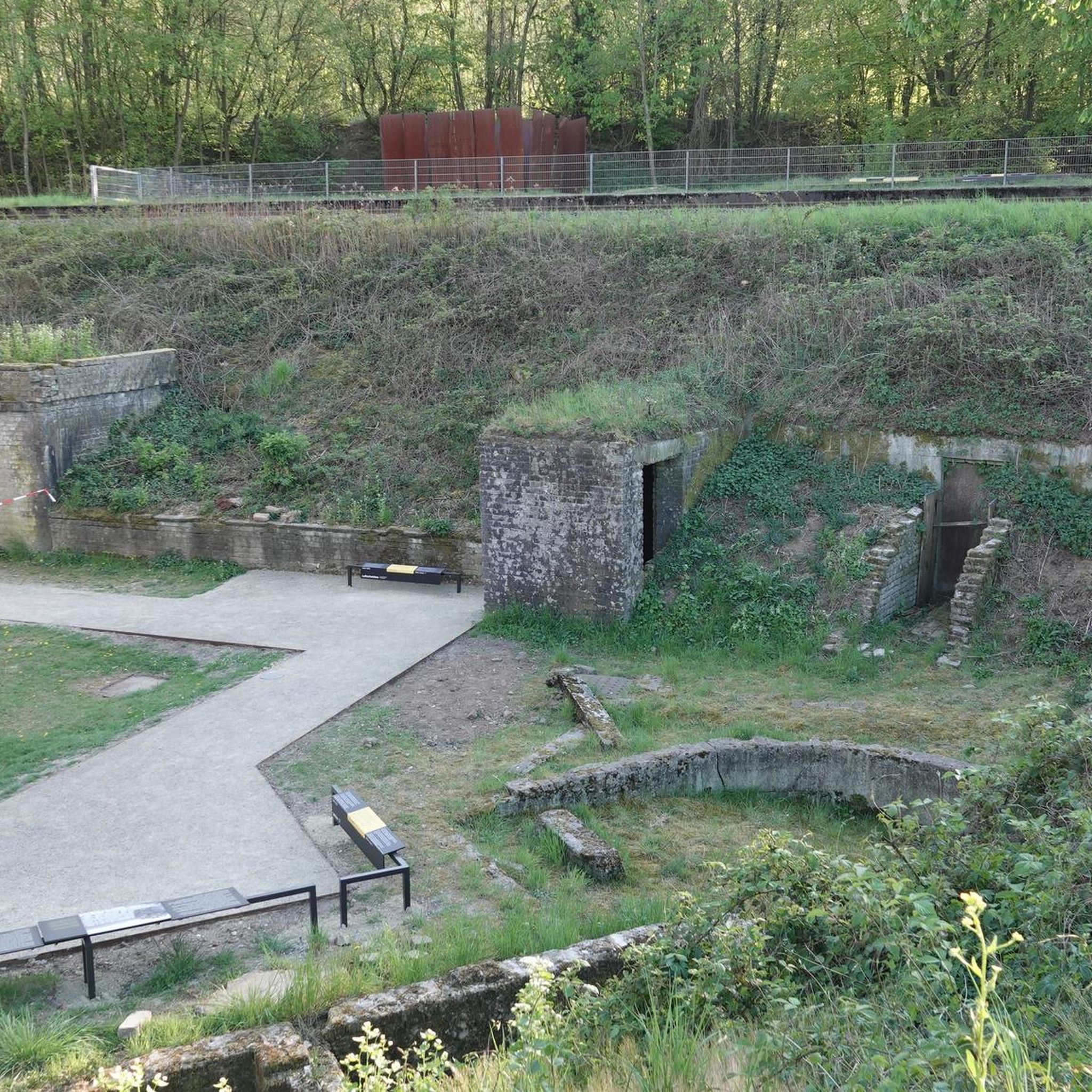
## The tunnel The tunnel, located between the Puyoô and Salies-de-Béarn stations, is one of the significant structures on line n° 662.000 connecting Puyoô to Mauléon. It is a single-track tunnel 848.5 m long and 5.00 m wide between the abutments. The height under the crown is 6.00 m. It is a multi-radius arch. The structure is generally oriented North-South, with a curve of R400 m for the first 250 meters on the North side, then a straight section to the South end. The longitudinal profile has a constant gradient of 0.01 m/m from the North. A central aqueduct equips the structure along its entire route. The maximum cover is 49 m. The tunnel is built in the Campanian flysch (Upper Cretaceous). The construction of the tunnel (1879-1883) was carried out from two headings via shafts approximately 35 m deep, located at PM219 and PM632. The shafts were retained as ventilation shafts. The masonry thicknesses (limestone rubble set in lime mortar) vary from 0.50 m to 1.20 m. The length of the tunnel, initially projected at 400 m, was increased to 787 m following the decision to lower the profile (from 20‰ to 16‰). During construction, ground instabilities encountered during the excavation of access trenches led to a further extension of the structure, which finally reached a length of 848.5 m. Numerous ground instabilities (landslides) caused significant delays in the progress of the work. The tunnel was electrified in 1930 and the overhead line equipment was removed in 1971.
0
0


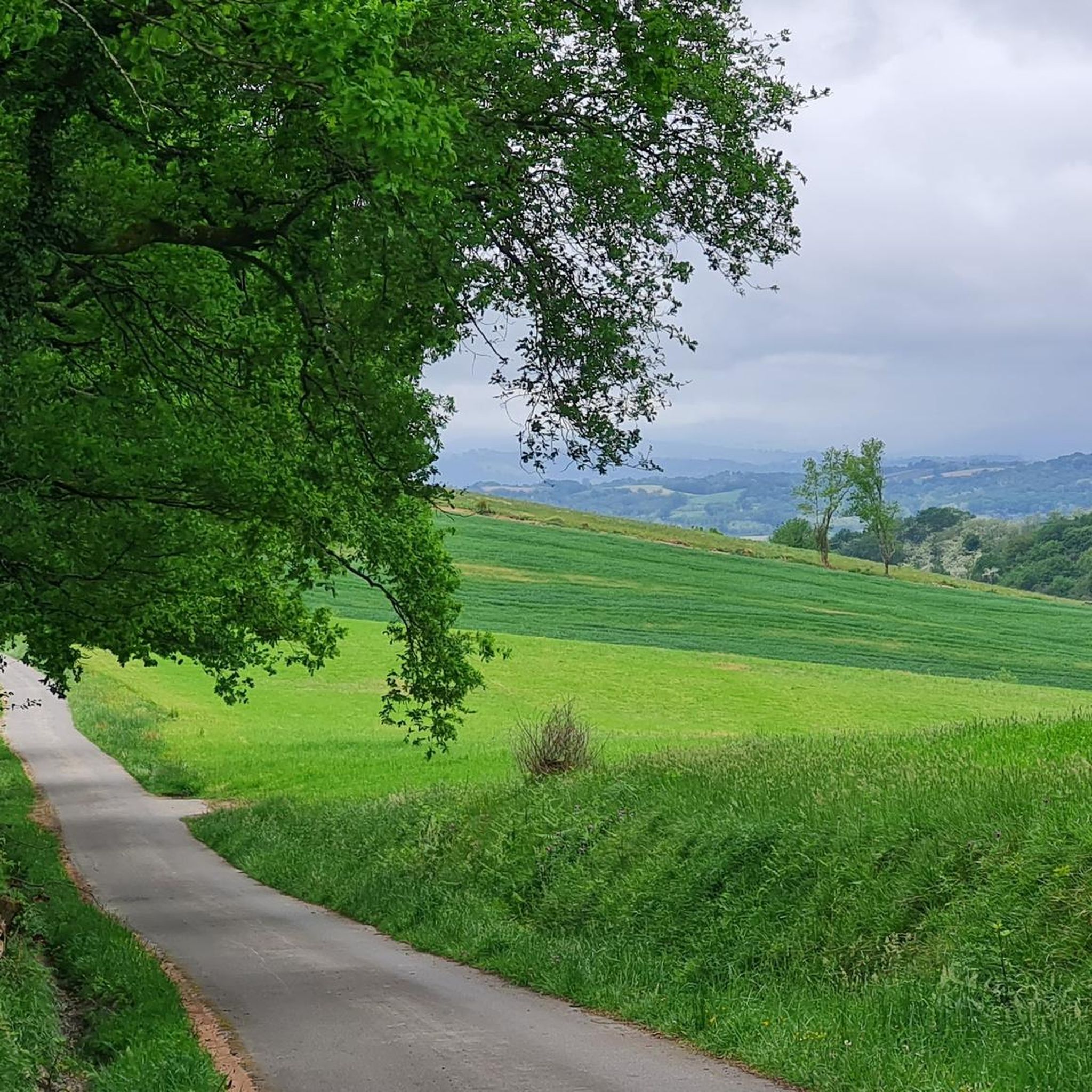
A really beautiful cycle path on an old railway line. It is completely asphalted and is therefore a wonderful ride and there are one or two bridge highlights to admire along the way.
2
0

Nice bench with a great view.
1
0

Absolute recommendation (except during floods:-) with the opportunity to swim in the river and a view of the famous bridge!
0
0
The “Principality of Laàs” is a particularly friendly place worth seeing; on the “Boulevard Laàs Vegas” you can meet well-known and lesser-known people with a connection to the community. At the entrance to the town you will be greeted by a customs house with a barrier :-)
1
0
Frequently Asked Questions
How many touring cycling routes are available around Montfort-sur-Meu?
There are over 70 touring cycling routes around Montfort-sur-Meu, catering to various skill levels. This includes 13 easy routes, 39 moderate routes, and 26 difficult routes, ensuring options for every cyclist.
Are there any easy or family-friendly touring cycling routes in the Montfort-sur-Meu area?
Yes, Montfort-sur-Meu offers several easy and family-friendly options. The local "Green Belt" (Ceinture Verte) cycling route (n°203) is a 10 km path designed for easy navigation within the town, utilizing dedicated bike lanes. Additionally, the new 'voie verte' connecting Iffendic, Montfort-sur-Meu, and Talensac provides a comfortable, family-friendly surface. For a specific easy route, consider the Bastion of Echoes – Navarrenx loop from Laàs, which is about 24.7 km long.
What kind of terrain can I expect on touring cycling routes around Montfort-sur-Meu?
The terrain around Montfort-sur-Meu is quite varied. You'll find tranquil riverside paths along the Meu, extensive forest trails within the Forêt de Montfort, and well-developed greenways. While many sections are paved, some routes feature unpaved paths, particularly in forested areas. Gradients are generally gentle along rivers, but some routes, especially those venturing into the Brocéliande forest or around lakes like Trémelin, may include moderate climbs.
What are some notable natural features or landscapes to see while cycling in this region?
The region boasts diverse natural beauty. You can cycle along the Meu river, explore the extensive woodlands of the Forêt de Montfort, or venture towards the mythical Brocéliande forest. Highlights include the Chambre au Loup Valley and Lac de Trémelin, offering magnificent panoramic views. The distinctive red schist outcrops in the area have even earned it the nickname "Pays pourpré" (purple country).
Are there any historical sites or landmarks I can visit along the touring cycling routes?
Absolutely. Montfort-sur-Meu is a "Petite Cité de Caractère" with rich history. You can explore its ancient priory of Saint-Lazare and the 14th-century entrance of the Abbey of Saint-Jacques. Further afield, consider visiting Navarrenx, a charming town, or the historic The Bridge of the Legend. The Pont de la Légende and Monréal Tower, Sauveterre-de-Béarn are also significant landmarks.
What do other touring cyclists say about the routes in Montfort-sur-Meu?
The touring cycling routes around Montfort-sur-Meu are highly regarded by the komoot community, with an average rating of 4.4 stars from over 60 reviews. Cyclists often praise the varied terrain, from quiet riverside paths to challenging forest trails, and the well-maintained greenways that make the region accessible and enjoyable for different skill levels.
Are there any circular touring cycling routes available?
Yes, many routes in the Montfort-sur-Meu area are designed as loops, allowing you to start and end in the same location. An example of a longer loop is the Tunnel – wonderful, quiet bike path loop from Burgaronne, a challenging 74.2 km route. For a moderate option, consider the Maison de la Principauté – Navarrenx loop from Montfort, which is 43.3 km.
What are the best times of year to go touring cycling in Montfort-sur-Meu?
The region is generally pleasant for cycling from spring through early autumn. Spring offers lush greenery and blooming landscapes, while autumn provides beautiful fall colors, especially in the forested areas. Summers are typically warm and sunny, ideal for longer rides. Always check local weather forecasts before heading out.
Are there options for more challenging touring cycling routes?
Yes, for experienced touring cyclists seeking a challenge, there are routes with varied terrain and more significant elevation changes. The Tunnel – wonderful, quiet bike path loop from Burgaronne is classified as difficult, covering 74.2 km with over 800 meters of elevation gain. Routes around the Etang de Carrouet, Lac de Trémelin, and the Vallon de la Chambre au Loup also offer more demanding sections.
Can I access the touring cycling routes using public transport?
Montfort-sur-Meu is integrated into the larger "la Bretagne à vélo" project, which aims to boost local tourism and connectivity. While specific public transport links directly to trailheads may vary, the town itself is accessible, and the development of greenways like the one connecting Iffendic, Montfort-sur-Meu, and Talensac often considers accessibility. For detailed public transport information, it's best to consult local transport authorities.
Are there any long-distance greenways that pass through Montfort-sur-Meu?
Yes, Montfort-sur-Meu is strategically located along the Voie Verte No. 3, a significant greenway in inland Brittany. This route stretches over 200 km, utilizing old railway tracks and country roads, and connects St Malo to Questembert. It's known for being family-friendly and provides access to the legendary Brocéliande forest.
What is the average distance and duration for touring cycling routes in the area?
The routes vary significantly in length and duration. Easy routes can be as short as 10 km, taking less than an hour. Moderate routes, like the Navarrenx loop from Araux (25 km), typically take around 1.5 to 2.5 hours. More difficult and longer routes, such as the Maison de la Principauté – Navarrenx loop from Sauveterre-de-Béarn (71.6 km), can take 4 hours or more to complete, depending on your pace and stops.
Most popular attractions around Montfort

Get inspired with the komoot mobile app


Explore more
Browse the best Cycling routes in other regions.
