The best running trails around Saint-Julien-D'Ance
4.0
(3)
455
runners
55
runs
Jogging around Saint-Julien-D'Ance offers access to diverse landscapes within the Auvergne-Rhône-Alpes region. The area features gently rolling terrain, agricultural fields, and accessible village paths, providing a mix of scenery for runners. Trails often traverse open spaces and connect to nearby villages, with options ranging from routes with minimal elevation changes to more challenging courses. The region is also characterized by the tranquil Ance River and broader volcanic massifs, offering varied running experiences.
Best jogging routes around Saint-Julien-D'Ance
- The most popular…
Last updated: July 13, 2026
44
runners
15.7km
02:01
530m
530m
Hard run. Very good fitness required. Mostly accessible paths. Some sure footedness required.
12
runners
31.4km
04:09
1,230m
1,230m
Hard run. Very good fitness required. Mostly paved surfaces. Suitable for all skill levels.

Sign up for free
4
runners
6.45km
00:43
100m
100m
Moderate run. Good fitness required. Mostly paved surfaces. Suitable for all skill levels.
4
runners
9.76km
01:09
200m
200m
Moderate run. Good fitness required. Mostly paved surfaces. Suitable for all skill levels.
3
runners
3.83km
00:31
170m
170m
Moderate run. Good fitness required. Mostly paved surfaces. Suitable for all skill levels.
Get access to more routes and recommendations from other explorers.
Sign up for free
Already have an account?
Our route recommendations are based on thousands of hikes, rides, and runs completed by other people on komoot.
Start today with a free account
Your next adventure awaits.
Login or Signup
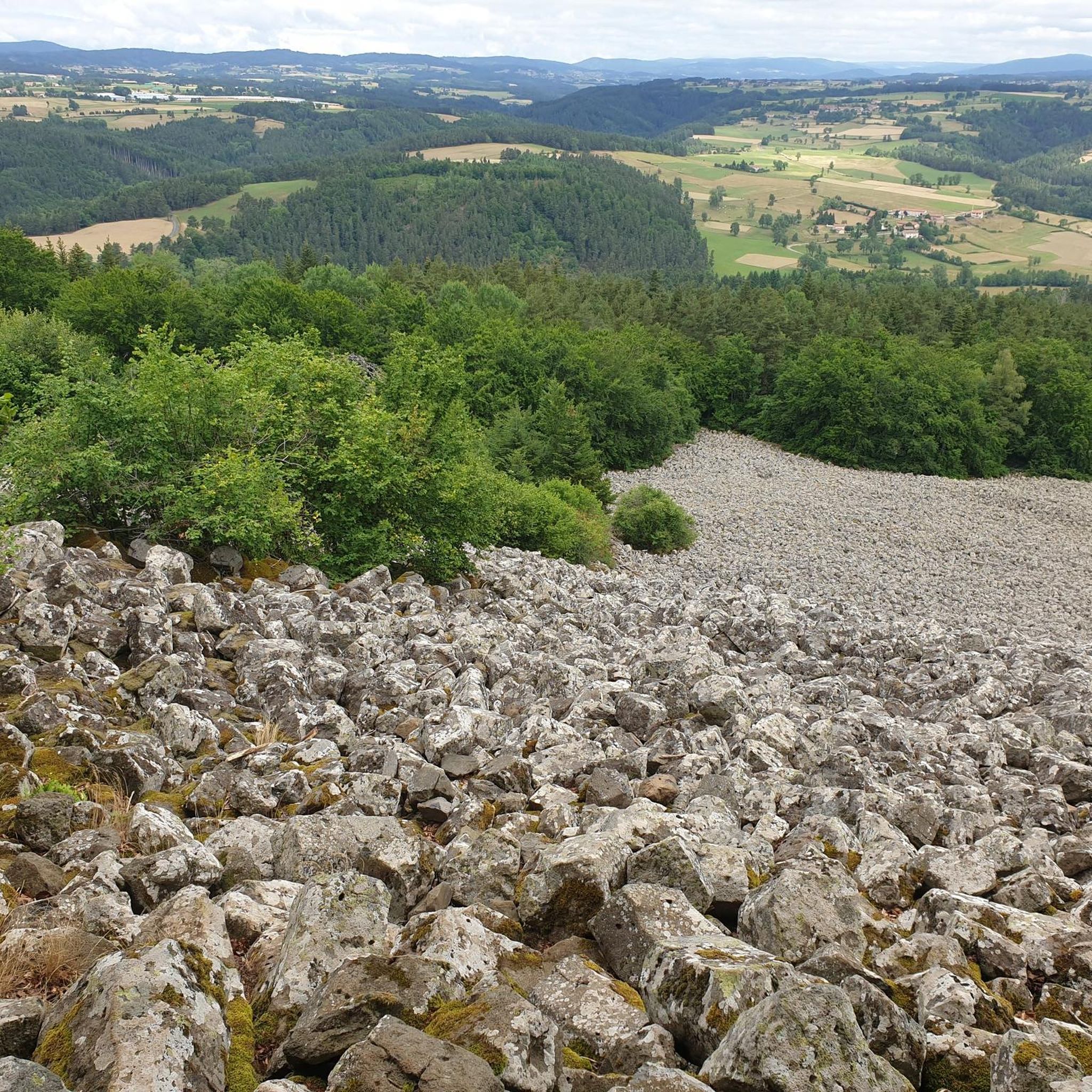
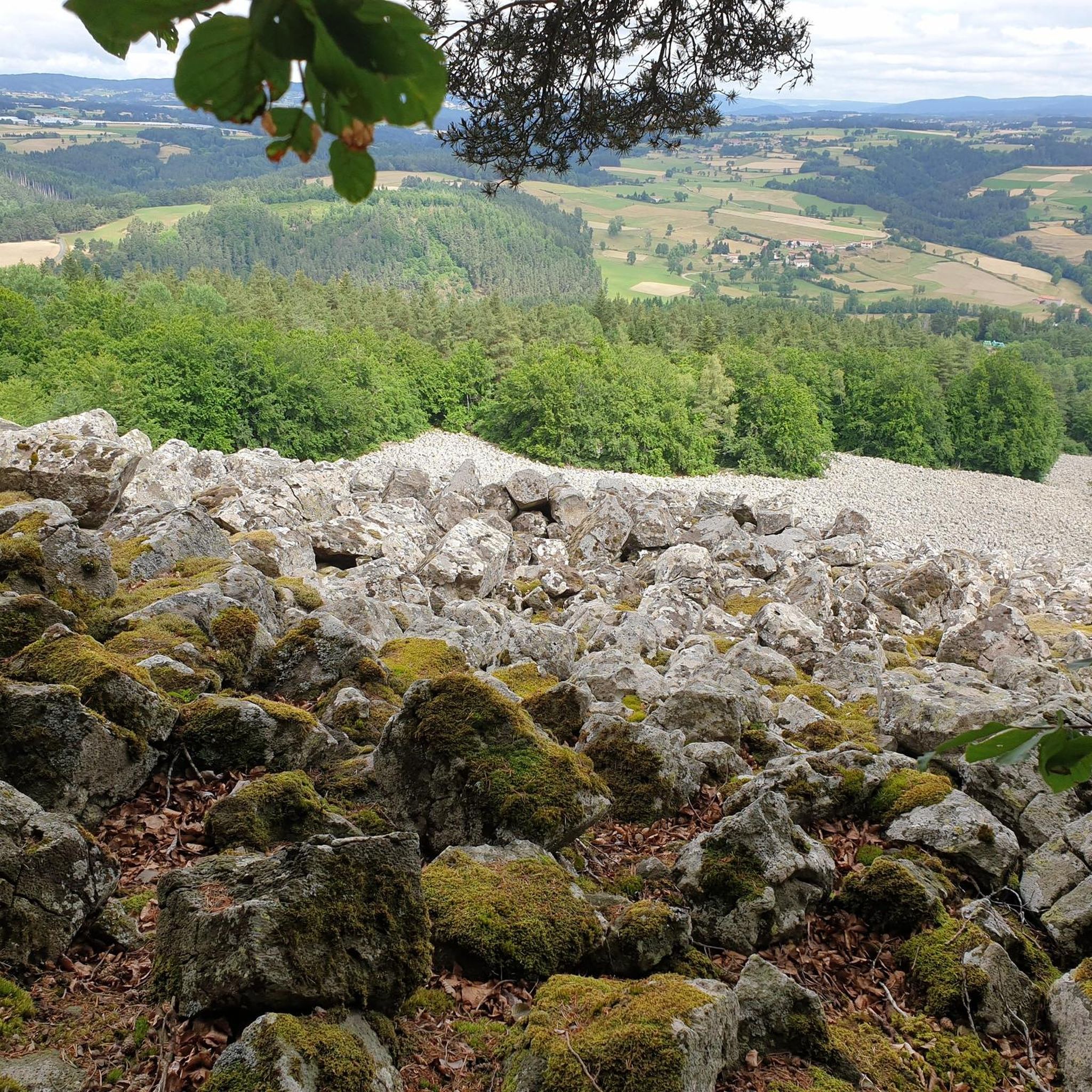
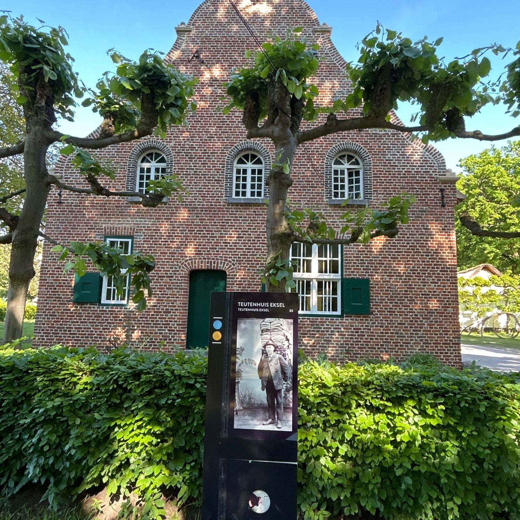
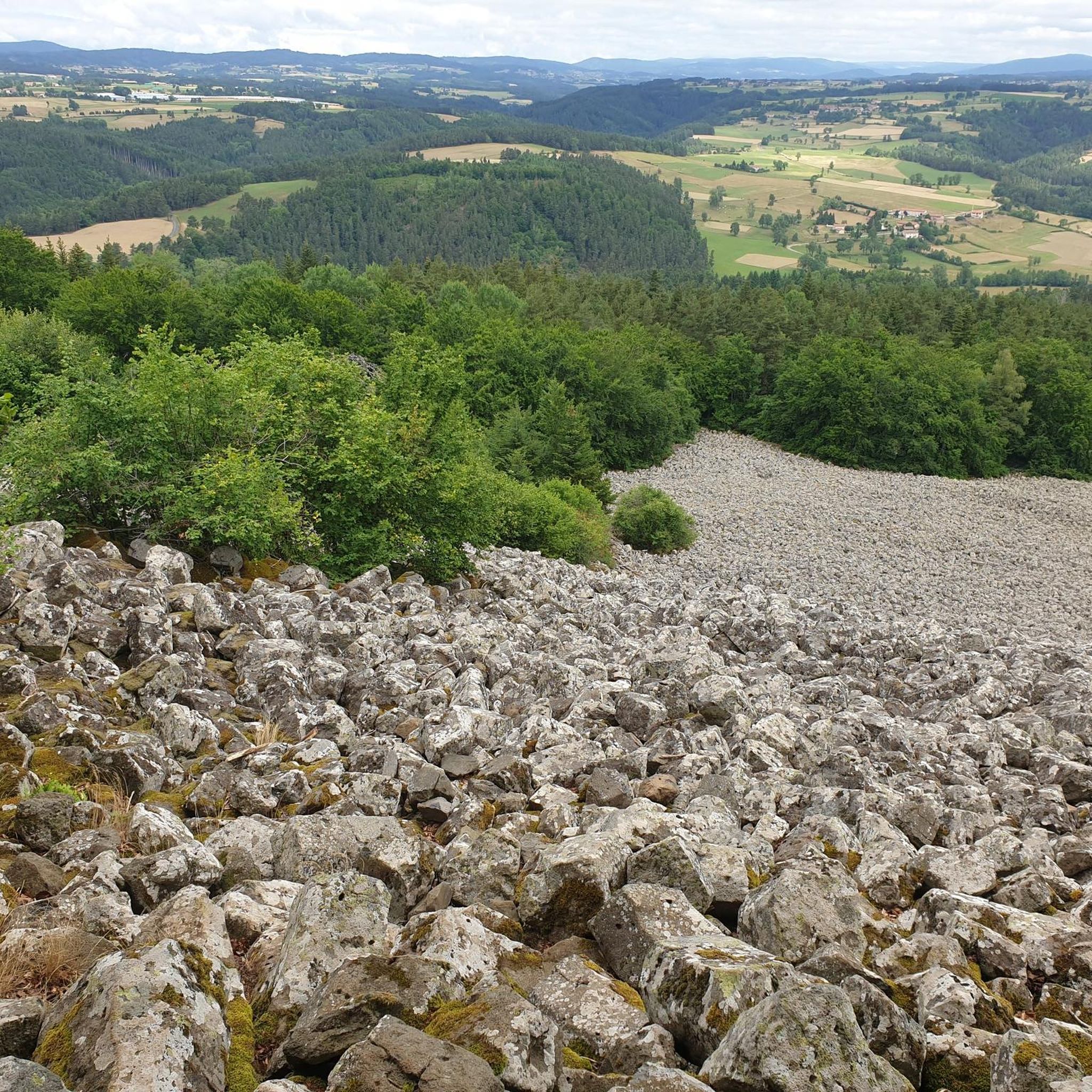
Tips from the Community

The Devil's Bridge spans the Ance. It dates from the 10th century and is classified as a historic monument. Legend has it that this bridge was often destroyed by the floods of the Ance. The lord of Chalencon made a pact with the Devil so that it remained intact.
0
0
The medieval village of Chalencon dates from the Middle Ages. It dominates the Ance river from its rocky spur and displays architecture from the medieval era which takes you back to the time of the powerful lords who administered Velay.
0
0

The Ance is a direct tributary of the Loire. Taking its source in the Forez mountains at some 1,400 meters above sea level, it flows into the "wildest river in Europe" after a 77 kilometer run. Here, the Ance is bordered by the GR 3 path, famous for following the thread of the Loire.
0
0

Nice crossing of the railway line on a paved bridge, with beautiful forged metal guardrails.
0
0
Very nice quiet place, a house with a water basin. Below, a very cute stone bridge!
0
0
Frequently Asked Questions
How many running routes are available in Saint-Julien-D'Ance?
There are nearly 50 running routes around Saint-Julien-D'Ance, offering a wide variety of options for all fitness levels. These include easy paths, moderate trails, and challenging courses.
Are there easy running routes suitable for beginners or casual joggers?
Yes, Saint-Julien-D'Ance offers several easy running routes. For a moderate option that's great for a quick workout, consider the Étang du Péché loop from Boisset, a 4.0-mile (6.4 km) trail that takes about 42 minutes to complete and leads through rolling landscapes.
Can I find challenging trail running options in the area?
Absolutely. The region around Saint-Julien-D'Ance, part of the broader Auvergne volcanic landscapes, offers challenging courses with significant elevation changes. A notable difficult route is L'Ance loop from Boisset, a 19.5-mile (31.4 km) path with substantial climbs, following the peaceful banks of the Ance River.
Are there circular running routes around Saint-Julien-D'Ance?
Many of the running routes in the area are circular, allowing you to start and finish at the same point. For example, the popular Chalencon – Devil's Bridge loop from Tiranges is a 9.7-mile (15.7 km) circular trail that takes about 2 hours to complete.
What kind of scenery can I expect on the jogging trails?
The running trails in Saint-Julien-D'Ance offer diverse scenery, from gently rolling landscapes and agricultural fields to the tranquil banks of the Ance River. You'll also find paths traversing open spaces, connecting to nearby villages, and offering views of verdant hills and poetic country lanes, characteristic of the Auvergne-Rhône-Alpes region.
Are there any historical landmarks or natural attractions to see while running?
Yes, the region is rich in points of interest. While running, you might encounter historic sites like the ruins of Château d'Artias, perched on a pyramidal rock block. The area also features natural beauty such as the peaceful Le Bezan Lake, which has walking paths, and picturesque valleys.
Are the running trails in Saint-Julien-D'Ance suitable for families?
Yes, many trails are suitable for families, especially those with minimal elevation changes and accessible village paths. Look for shorter, moderate routes like the Running loop from Saint-Julien-d'Ance, which is 5.3 km long and offers a pleasant experience for various fitness levels.
Are dogs allowed on the running trails?
Generally, dogs are welcome on many outdoor trails in the Auvergne-Rhône-Alpes region, especially on less crowded paths. However, it's always advisable to keep your dog on a leash and check specific regulations for nature reserves or private lands if you venture off marked trails.
What do other runners say about the trails in Saint-Julien-D'Ance?
The running routes in Saint-Julien-D'Ance are highly rated by the komoot community, with an average score of 4.0 stars from over 4 reviews. Runners often praise the varied terrain, from tranquil riverbanks to accessible village paths, and the unspoilt beauty of the region.
Where can I find parking for the running routes?
Many routes in Saint-Julien-D'Ance and surrounding villages like Boisset or Tiranges offer convenient parking near their starting points. For example, routes like the Arboretum loop from Boisset typically have parking available in or near the village centers.
Are there any running routes that follow the Ance River?
Yes, the peaceful banks of the Ance River offer a tranquil setting for running. The L'Ance loop from Boisset is a prime example, following the river for a significant portion of its challenging 19.5-mile (31.4 km) length, providing a serene environment for an extended run.
When is the best time of year to go running in Saint-Julien-D'Ance?
The Auvergne-Rhône-Alpes region is beautiful year-round. Spring and autumn offer pleasant temperatures and vibrant scenery, ideal for running. Summer is also great, especially in the mornings or evenings, while winter can provide unique, crisp running experiences, though some higher elevation trails might require more preparation.
Most popular routes around Saint-Julien-D'Ance
Most popular attractions around Saint-Julien-D'Ance

Get inspired with the komoot mobile app


Explore more
Browse the best Running Trails & Routes in other regions.
