The best running trails around Bolligen
4.3
(9)
240
runners
23
runs
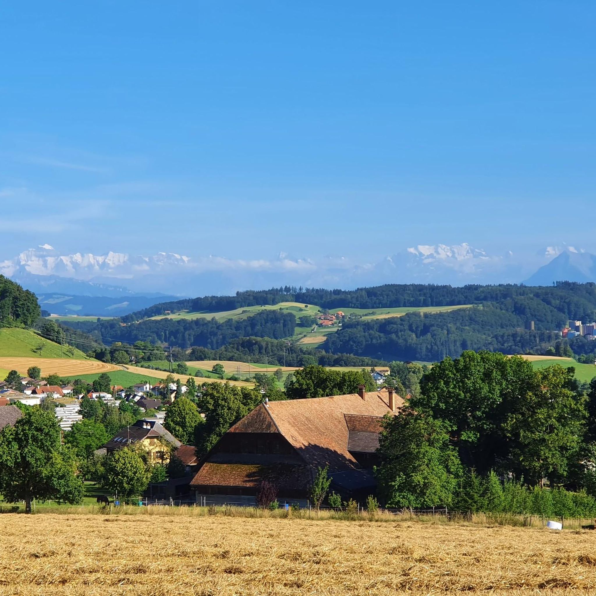
Jogging around Bolligen offers diverse terrain across a landscape characterized by forests, agricultural land, and the prominent Bantiger mountain. The region, located northeast of Bern, Switzerland, features well-maintained trails suitable for running. Runners can explore the verdant Worblental valley and enjoy varied topography, including ridge paths and open fields. This environment provides a mix of challenging ascents and more leisurely routes.
Best jogging routes around Bolligen
- The most popular jogging route is Running loop from Bolligen, a 4.2 miles (6.8 km) trail that takes about 43 minutes to complete. This moderate route offers a balanced running experience through local landscapes.
- Another top favourite among local runners is Schwandiholz loop from Bolligen, a moderate 5.4 miles (8.7 km) path. This route guides runners through forested areas and open terrain, typically completed in about 56 minutes.
- Local runners also love the Running loop from Ittigen, a 3.0 miles (4.8 km) trail leading through varied local scenery, often completed in about 31 minutes.
- Jogging around Bolligen is defined by its forests, agricultural land, and the views from Bantiger mountain. The network offers options for different ability levels, from easy loops to more challenging ascents.
- The routes in Bolligen are highly rated by the komoot community with an average score of 4.3 stars from more than 5 reviews. More than 200 runners have used komoot to explore Bolligen's varied terrain.
Last updated: October 5, 2026
28
runners
6.77km
00:44
100m
100m
Moderate run. Good fitness required. Mostly paved surfaces. Suitable for all skill levels.
3.0
(1)
27
runners
8.66km
00:56
140m
130m
Moderate run. Good fitness required. Mostly paved surfaces. Suitable for all skill levels.

4.0
(2)
23
runners
4.79km
00:31
70m
70m
Easy run. Great for any fitness level. Mostly paved surfaces. Suitable for all skill levels.
4.0
(1)
17
runners
12.2km
01:30
420m
420m
Hard run. Very good fitness required. Mostly paved surfaces. Suitable for all skill levels.
13
runners
12.2km
01:21
240m
240m
Moderate run. Good fitness required. Mostly paved surfaces. Suitable for all skill levels.
Get access to more routes and recommendations from other explorers.
Already have an account?
Our route recommendations are based on thousands of hikes, rides, and runs completed by other people on komoot.
Start today with a free account
Your next adventure awaits.
Tips from the Community

At 1000 meters above sea level, it's often sunny even in foggy conditions. See https://nebelkarte.ch for more information.
0
0

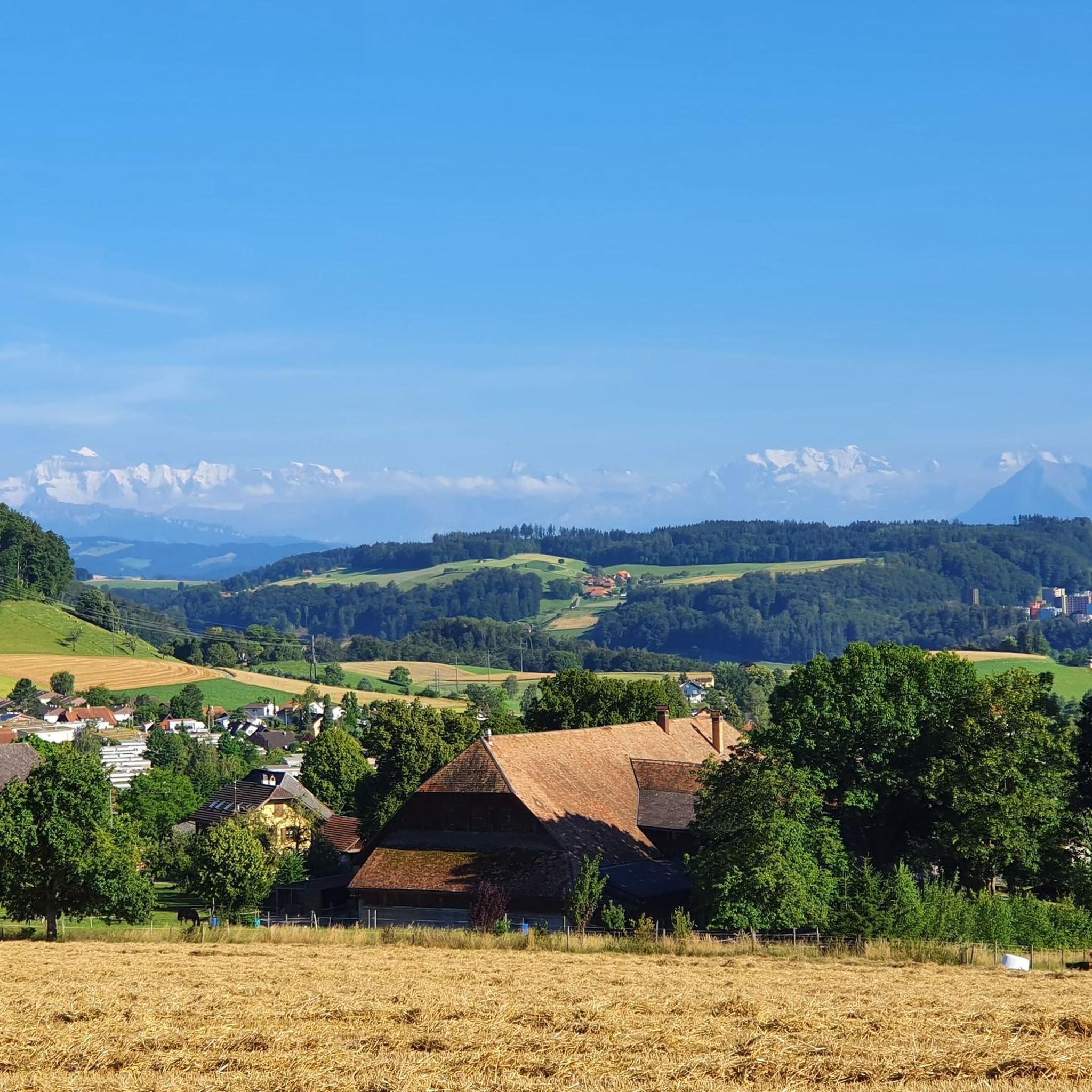
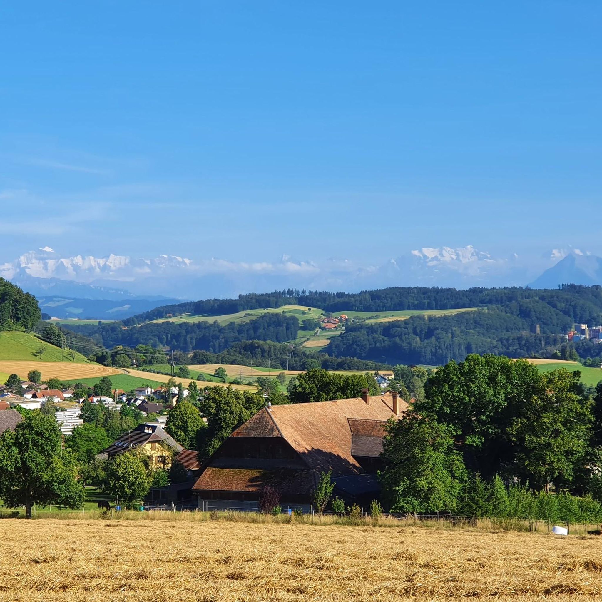
🏔️ Bantiger – Bern's local mountain with panoramic views 🌟🚶♂️ The Bantiger (947m) is located northeast of Bern and is a popular destination for hikers, bikers, and walkers. From its striking radio tower with viewing platform, you can enjoy a fantastic 360° panoramic view – from the Jura Mountains to the Bernese Alps! 🥾 Highlights: Easy ascent from Stettlen, Deisswil, or Ferenberg Observation tower: Free access to the platform below the transmission tower – incredible views of the Eiger, Mönch, and Jungfrau 🏔️ Pure nature: Quiet paths through forests and fields – ideal for a relaxing hike 🌳 Accessible all year round – a lovely place for a stroll even in winter ❄️ 🚴♀️ Also very popular with mountain bikers – with rewarding uphills and fast descents! 📍 Tip: Best in clear weather – the view is simply unbeatable! 🔭🌞
1
1

Great all-round view in all directions
1
0

The Bantiger summit bike ride is a rewarding ride that offers stunning views of Bern, the Aare and the distant Alps. The climb takes you through the charming Swiss countryside, passing fields, farms and patches of forest. At the top, you will find a panoramic viewpoint, ideal for catching your breath and admiring the impressive scenery.
2
0
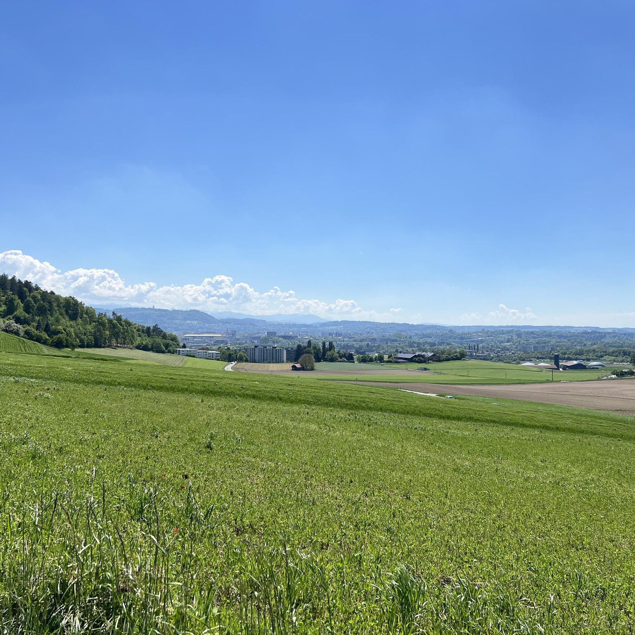
Climb up to the Bantiger viewpoint for a panoramic view of Bern and the surrounding Swiss plateau. From the summit, you can admire the city skyline, the Aare River and Bern Cathedral.
2
1

great view from the viewing platform on the Bantiger
1
0

The view from Worb to Stettlen and Ostermundigen to Bern is wonderful
1
0
The view from Worb to Stettlen and over Ostermundigen to Bern is wonderful
1
0
Frequently Asked Questions
How many running routes are available around Bolligen?
There are over 20 running routes available around Bolligen, offering a variety of experiences for different fitness levels. The komoot community has explored more than 200 of these trails.
What types of terrain can I expect on jogging trails in Bolligen?
Jogging routes in Bolligen feature diverse terrain, including significant forested areas, open agricultural land, and paths along the picturesque Worblental valley. You'll find a mix of natural surfaces, from gentle paths to more challenging ridge sections, especially on routes leading up to the Bantiger mountain.
Are there any easy running routes suitable for beginners or a relaxed jog?
Yes, Bolligen offers easy running routes. For instance, the Running loop from Ittigen is an easy 3.0-mile (4.8 km) trail that takes about 31 minutes to complete, leading through varied local scenery.
Can I find running routes with scenic viewpoints in Bolligen?
Absolutely. The prominent Bantiger mountain, at approximately 947 meters (3,107 feet), offers expansive panoramic views of the Jura mountains, the Swiss Plateau, and the Alps from its observation platform. Routes like the Bantiger Observation Tower – Bantiger loop from Bolligen provide access to these stunning vistas.
Are there any circular running routes in the Bolligen area?
Yes, many of the running routes around Bolligen are circular, providing convenient starting and ending points. Popular options include the Running loop from Bolligen, a 4.2-mile (6.8 km) trail, and the Schwandiholz loop from Bolligen, which is 5.4 miles (8.7 km).
What do other runners say about the trails in Bolligen?
The running routes in Bolligen are highly rated by the komoot community, with an average score of 4.3 stars from more than 5 reviews. Runners often praise the diverse natural features, well-maintained trails, and the mix of challenging ascents and leisurely paths through forests and open fields.
Are there any specific attractions or landmarks to see while running in Bolligen?
While jogging, you can enjoy the natural beauty of the Worblental valley and the views from Bantiger mountain. For specific points of interest, you might pass by areas near Widi Pond or the Moossee, offering tranquil waterside scenery.
Are the running routes in Bolligen suitable for families?
Many of Bolligen's trails, particularly the easier and moderate loops through forests and agricultural land, are suitable for families. The varied topography ensures there are options for different activity levels, allowing families to choose routes that match their preferences.
Can I bring my dog on the running trails in Bolligen?
Bolligen's extensive network of natural trails through forests and open fields makes it a great region for running with dogs. It's always recommended to keep dogs on a leash, especially in agricultural areas or near wildlife, and to check local regulations for specific routes.
Are there any challenging running routes for advanced runners?
Yes, for advanced runners seeking a challenge, Bolligen offers routes with significant elevation gain. The Bantiger Observation Tower – Bantiger loop from Bolligen is a difficult 7.6-mile (12.2 km) route with over 420 meters of ascent, featuring varied terrain including ridge paths.
What is the best season for jogging in Bolligen?
Bolligen is suitable for jogging year-round. The extensive forested areas provide shade on warm days, while the well-maintained trails are generally accessible in most seasons. Autumn offers beautiful foliage, and spring brings lush greenery. Winter jogging is also possible, though some higher or less-maintained paths might require more caution.
Are there any longer running routes for endurance training?
For longer runs, consider routes like the Brunnen loop from Bolligen, which covers 7.6 miles (12.2 km) with over 240 meters of elevation gain. This moderate route provides a good distance for endurance training through varied landscapes.
Most popular attractions around Bolligen

Get inspired with the komoot mobile app


Explore more
Browse the best Running Trails & Routes in other regions.
