
The best running trails around Saint-Bonnet-Briance
3.7
(38)
613
runners
80
runs
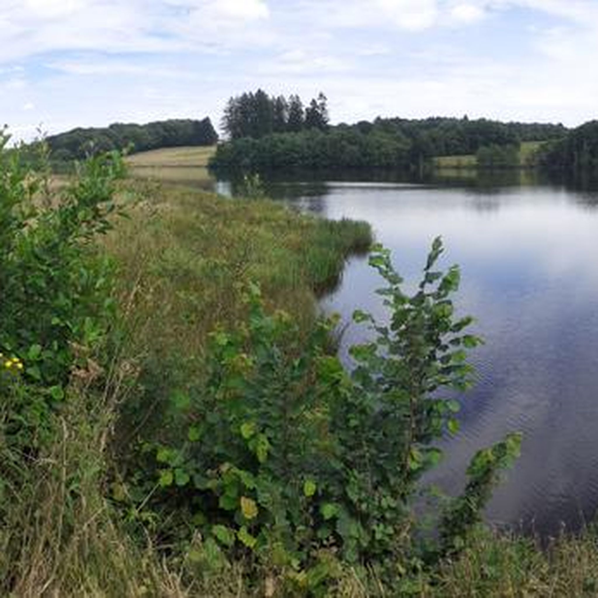
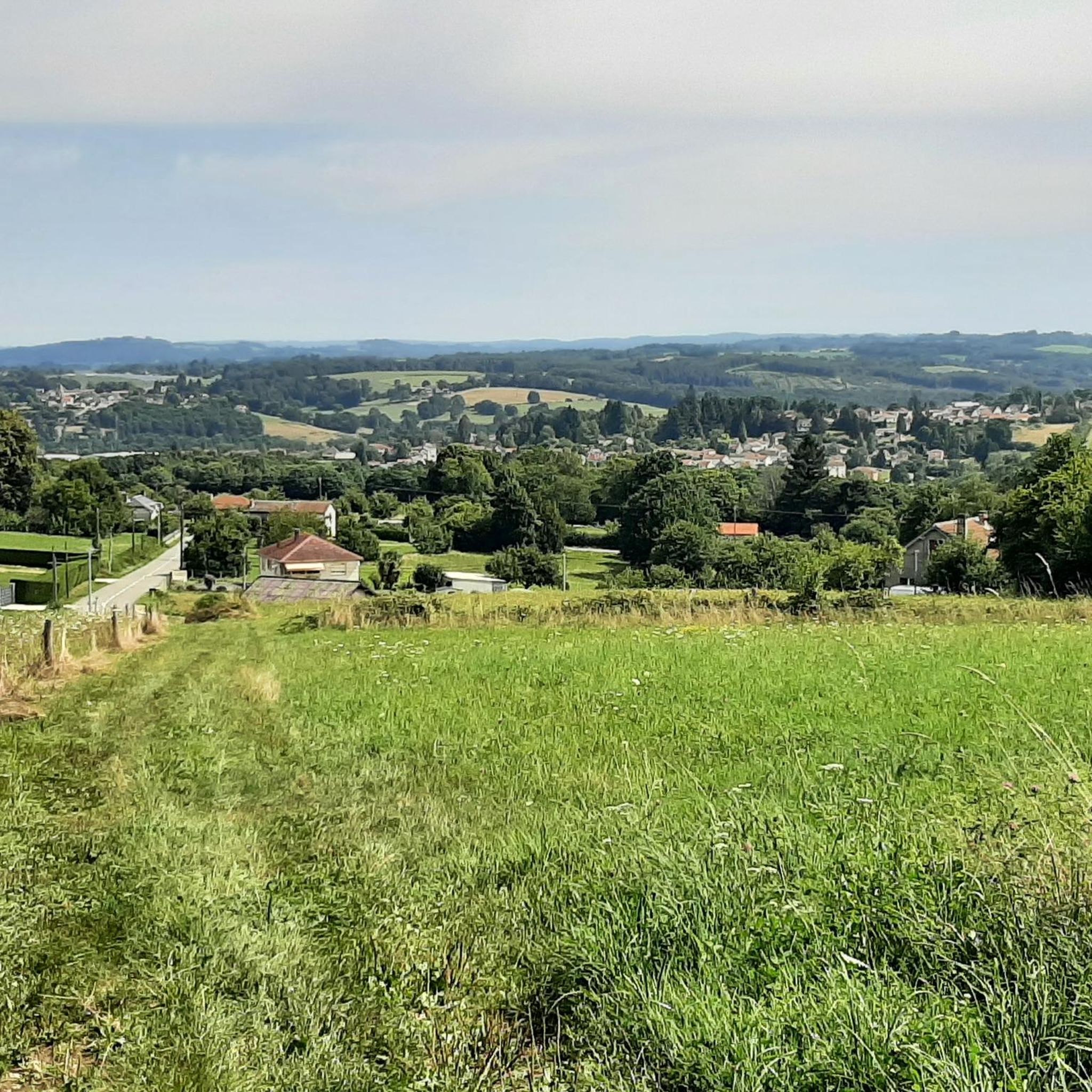
Jogging routes around Saint-Bonnet-Briance offer diverse natural landscapes within France's Haute-Vienne department. The region features a verdant countryside, characterized by a mix of meadows, extensive forests like Forêt de Ligoure, and the presence of the Briance and Roselle rivers. With elevations ranging from 310m to 459m, the area provides varied terrain, from relatively flat paths along riverbanks to more challenging routes with gentle inclines through rolling hills and open fields. This environment is conducive to a range of running experiences.
Best jogging routes around Saint-Bonnet-Briance
- The most popular jogging route is Running loop from Saint-Paul, an 8.1 miles (13.0 km) trail that takes 1 hour 31 minutes to complete. This route offers varied terrain, often passing through woodlands and open countryside.
- Another top favourite among local runners is Running loop from Limoges, a moderate 6.4 miles (10.3 km) path. This route provides a relatively flat experience through the tranquil environment of the region.
- Local runners also love the Running loop from Saint-Germain-les-Belles, a 4.9 miles (7.9 km) trail leading through meadows and woodlands, often completed in about 51 minutes.
- Jogging around Saint-Bonnet-Briance is defined by picturesque river valleys, dense forests, and varied elevations. The network of running routes offers options for different ability levels, from leisurely runs to more challenging trail running.
- The routes in Saint-Bonnet-Briance are highly rated by the komoot community with an average score of 3.9 stars from over 30 reviews. More than 400 runners have used komoot to explore Saint-Bonnet-Briance's varied terrain.
Last updated: July 8, 2026
13
runners
13.0km
01:31
220m
220m
Moderate run. Good fitness required. Mostly paved surfaces. Suitable for all skill levels.
7
runners
Moderate run. Good fitness required. Mostly paved surfaces. Suitable for all skill levels.

Sign up for free
5
runners
6.15km
00:44
80m
80m
Moderate run. Good fitness required. Mostly paved surfaces. Suitable for all skill levels.
5
runners
7.91km
00:51
140m
140m
Moderate run. Good fitness required. Mostly paved surfaces. Suitable for all skill levels.
4
runners
8.98km
01:06
240m
240m
Moderate run. Good fitness required. Mostly paved surfaces. Suitable for all skill levels.
Get access to more routes and recommendations from other explorers.
Sign up for free
Already have an account?
Our route recommendations are based on thousands of hikes, rides, and runs completed by other people on komoot.
Start today with a free account
Your next adventure awaits.
Login or Signup


Frequently Asked Questions
How many running routes are available in Saint-Bonnet-Briance?
There are over 75 running routes around Saint-Bonnet-Briance, offering a wide variety of experiences for joggers of all levels. These routes traverse diverse landscapes, from river valleys to dense forests.
What kind of terrain can I expect on running trails around Saint-Bonnet-Briance?
The region offers a varied topography, with elevations ranging from 310m to 459m. You can expect a mix of relatively flat paths along riverbanks, gentle inclines through rolling hills, and natural terrain within extensive forests like the Forêt de Ligoure and Forêt de Champvert. This provides options for both leisurely runs and more challenging trail running.
Are there easy running routes suitable for beginners in Saint-Bonnet-Briance?
Yes, Saint-Bonnet-Briance offers several easy running routes perfect for beginners. These paths typically feature less elevation gain and are ideal for a leisurely run through the tranquil countryside. There are 5 easy routes available in the area.
What do other runners say about the trails in Saint-Bonnet-Briance?
The running routes in Saint-Bonnet-Briance are highly rated by the komoot community, with an average score of 3.9 stars from over 30 reviews. Runners often praise the picturesque river valleys, dense forests, and varied elevations that make for an engaging outdoor experience.
Are there circular running paths in the area?
Yes, many of the running routes around Saint-Bonnet-Briance are designed as circular paths, allowing you to start and finish at the same point. For example, the Running loop from Glanges is a moderate 8.97 km circular route that takes you through varied terrain.
Are there any longer running routes for experienced runners?
For experienced runners looking for a challenge, Saint-Bonnet-Briance offers several longer and more demanding routes. There are 11 difficult routes available. A good example is the Running loop from Pont Roy, a moderate 13.4 km trail with significant elevation changes, providing a rewarding workout.
Can I find running routes that pass by interesting landmarks or attractions?
While specific running routes may not directly pass through all attractions, the region around Saint-Bonnet-Briance is rich in points of interest. You can explore nearby sites like The Three Viaducts of Pierre-Buffière or the historic settlement of Saint-Léonard-de-Noblat. Many trails offer scenic views of the Limousin countryside, and some, like the historical "Circuit du Tram," follow old tramway lines.
What is the best season for running in Saint-Bonnet-Briance?
Saint-Bonnet-Briance is suitable for running throughout much of the year. Spring and autumn offer pleasant temperatures and vibrant scenery, with lush greenery or colorful foliage. Summer provides shaded paths in the extensive forests, while winter can offer tranquil, crisp runs, though some trails might be muddy or require appropriate gear.
Are there running routes that are less crowded?
Given the tranquil nature of the Haute-Vienne department, many of the trails around Saint-Bonnet-Briance offer a peaceful running experience. Exploring routes slightly off the main popular paths or during off-peak hours can help you find even more solitude amidst the natural landscapes.
Are there any running routes that follow river valleys?
Yes, the Briance and Roselle rivers traverse the area, and many routes offer picturesque paths along their banks. Jogging alongside these waterways provides a serene experience with the calming sounds of flowing water and lush riparian scenery, characteristic of the region's natural beauty.
What are the typical distances of running routes in Saint-Bonnet-Briance?
The running routes in Saint-Bonnet-Briance vary in distance to suit different preferences. You can find shorter loops, such as the Running loop from Saint-Germain-les-Belles at 7.9 km, as well as longer trails like the Running loop from Saint-Paul, which is 13.0 km.
Most popular routes around Saint-Bonnet-Briance
Most popular attractions around Saint-Bonnet-Briance

Get inspired with the komoot mobile app


Explore more
Browse the best Running Trails & Routes in other regions.
